County Galway, town by town, on foot
Every settlement in the county on its own 3D model: each building standing up, every street named, and a page for each shop, café, school, church and thing to see. Distances are walking distances, from the centre of each place. Everything comes from open map data and cited open sources, and says so.
The city
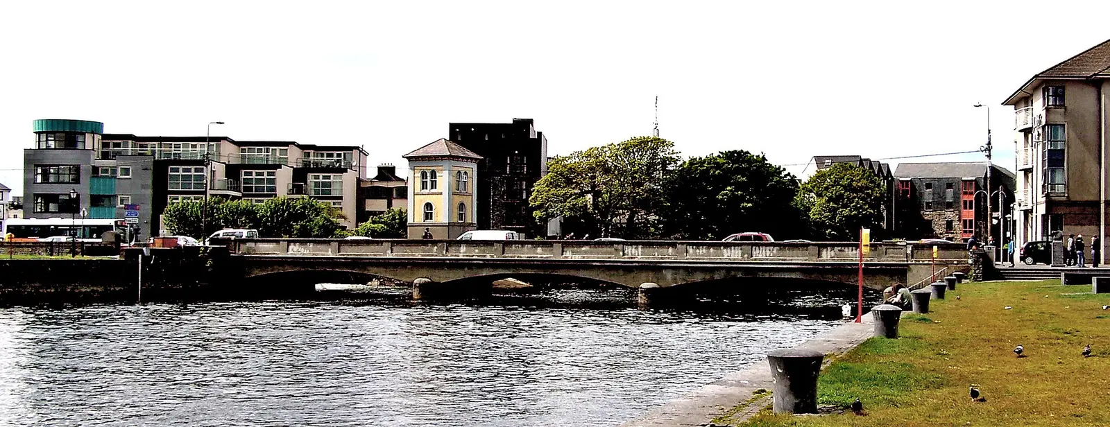
The towns
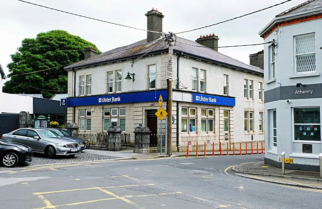
2,427 buildings, 160 named places, 61 streets, population 4,603.
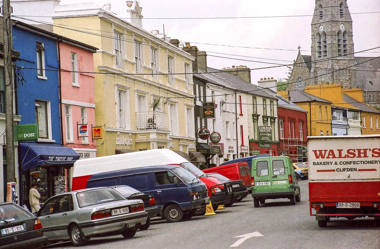
1,633 buildings, 161 named places, 28 streets, population 1,259.
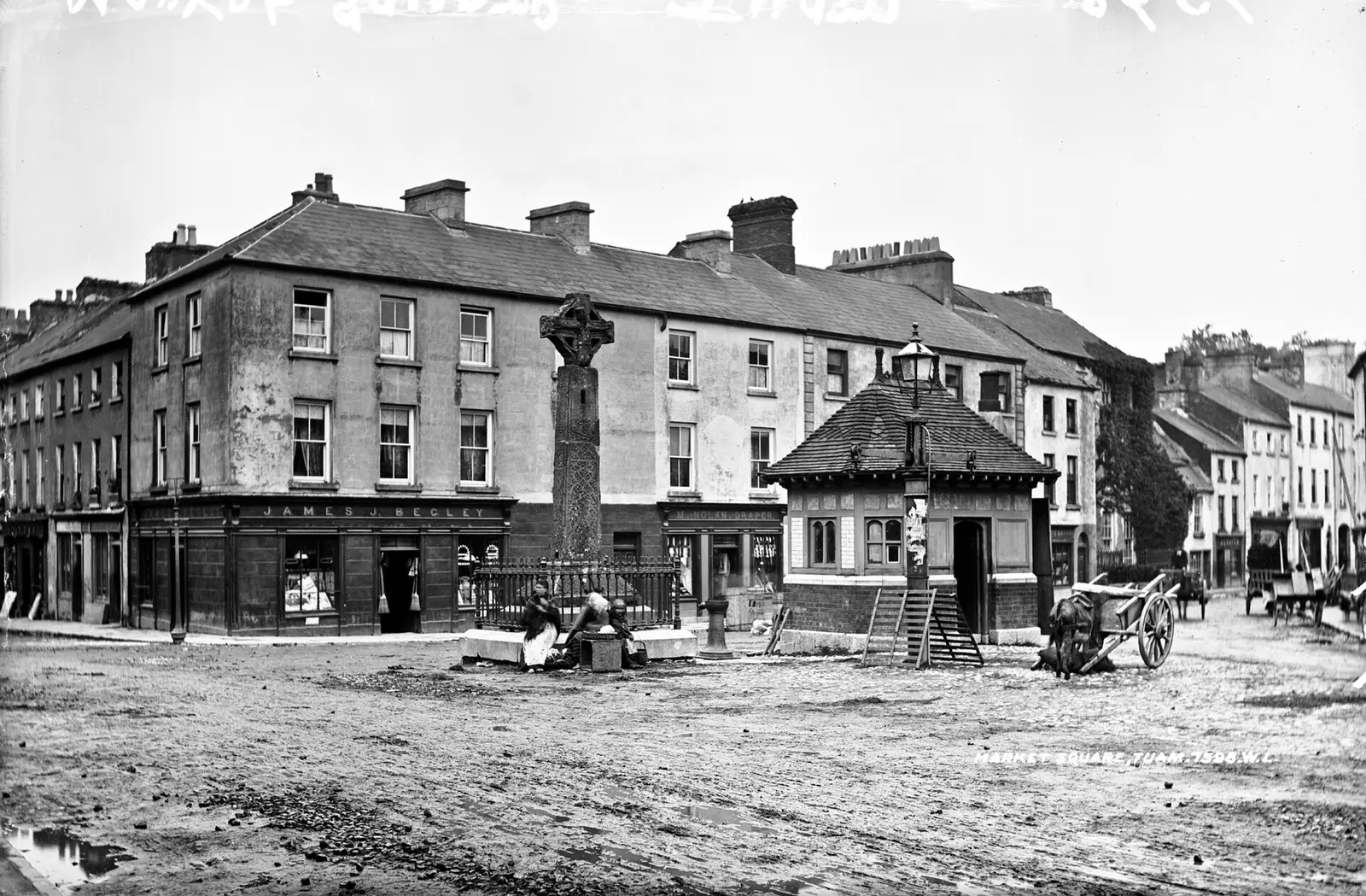
6,657 buildings, 134 named places, 76 streets, population 9,647.
3,151 buildings, 154 named places, 90 streets, population 6,322.
2,481 buildings, 115 named places, 51 streets, population 5,819.
3,496 buildings, 107 named places, 37 streets, population 6,597.
1,469 buildings, 51 named places, 12 streets, population 2,336.
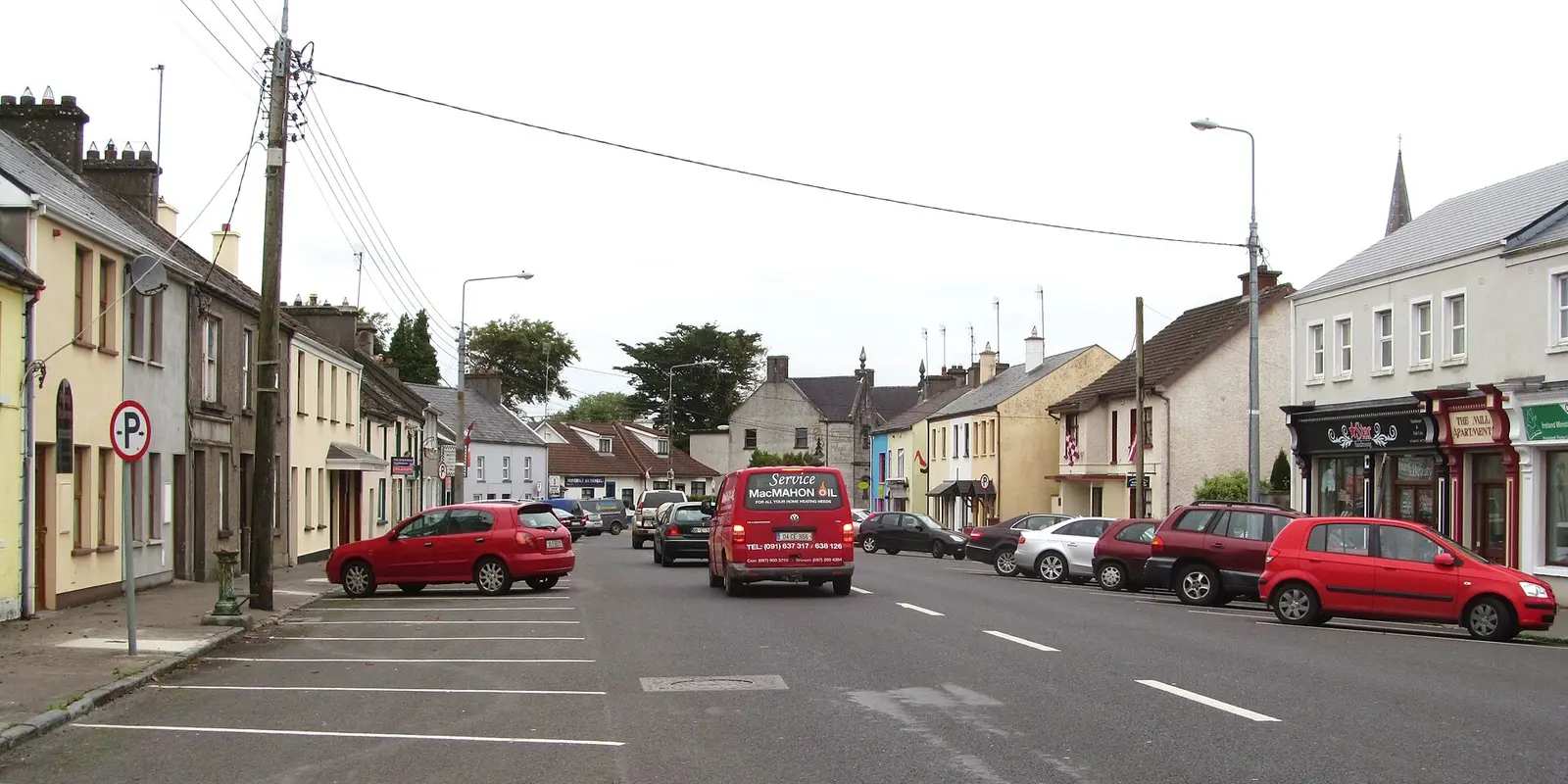
1,550 buildings, 58 named places, 40 streets, population 2,870.
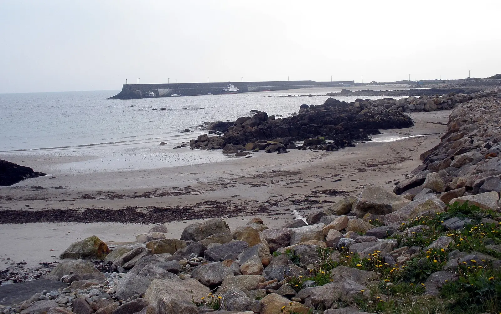
1,721 buildings, 54 named places, 29 streets, population 254.
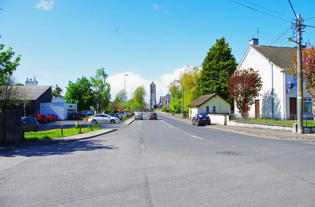
1,363 buildings, 54 named places, 28 streets, population 1,690.
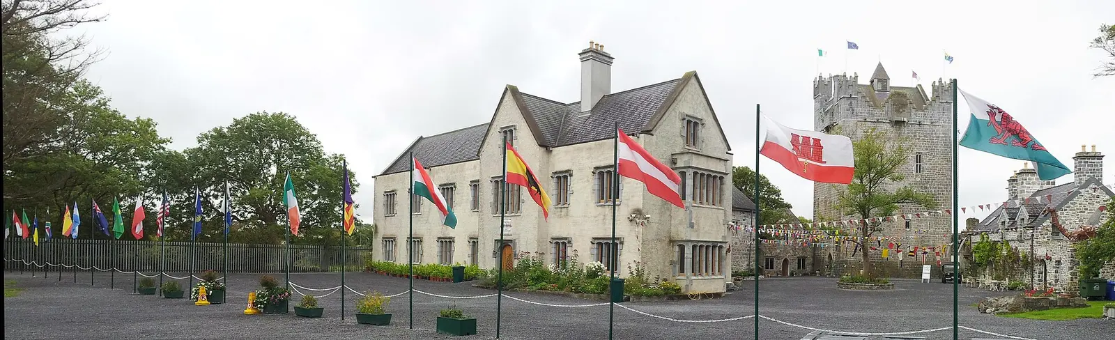
663 buildings, 40 named places, 14 streets, population 1,632.
1,263 buildings, 45 named places, 14 streets, population 774.
1,940 buildings, 56 named places, 23 streets, population 1,846.
1,977 buildings, 62 named places, 12 streets, population 725.
1,493 buildings, 36 named places, 13 streets, population 1,235.
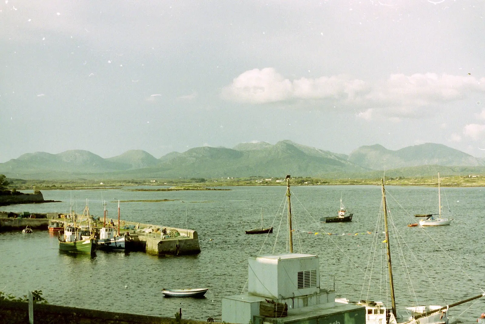
862 buildings, 36 named places, 2 streets, population 214.
2,148 buildings, 36 named places, 16 streets, population 2,279.
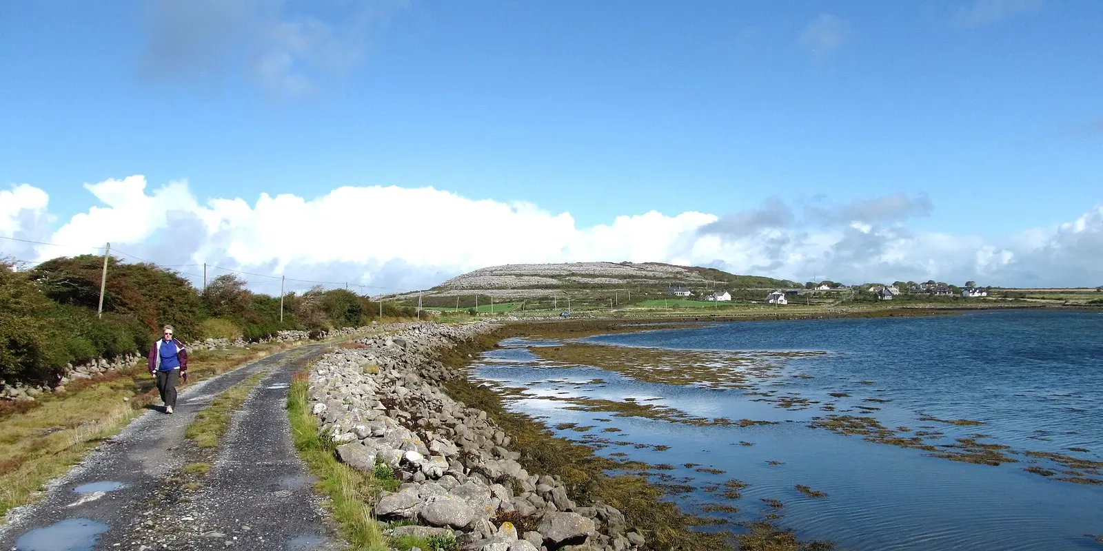
1,115 buildings, 17 named places, 13 streets, population 868.
1,479 buildings, 11 named places, 1 streets, population 306.
The villages
Every village where the map names at least twenty places or ten things to see, from the Gaeltacht to the Slieve Aughty foothills.
- KilronanCill Rónáin
- KinvarraCinn Mhara
- LetterfrackLeitir Fraic
- CraughwellCreachmhaoil
- ClarinbridgeDroichead an Chláirín
- KilcolganCill Cholgáin
- DunmoreDún Mór
- MoniveaMuine Mheá
- AughrimEachroim
- Lackagh
- LettermullanLeitir Mealláin
- ArdrahanArd Raithin
- EyrecourtDún an Uchta
- Carna
- Leitir Móir
- InverinIndreabhán
- AhascraghÁth Eascrach
- BallygarBéal Átha Ghártha
- Béal an Daingin
- KillimorCill Íomair
- GarrafraunsNa Garfráin
- MoyloughMaigh Locha
- BallinderreenBaile an Doirín
- RossaveelRos an Mhíl
- ClegganAn Cloigeann
- ClonburAn Fhairche
- Caltra
- GlenamaddyGleann na Madadh
- CreaghAn Chríoch
- Tully
- WoodfordAn Ghráig
- CorrandullaCor an Dola
- Milltown
- Tír an Fhia
- LeenaunLionán
- Baile na hAbhann
- RosmucRos Muc
- BallyconneelyBaile Conaola
- KilreekilCill Rícill
- CostelloeCasla
- CladdaghduffAn Cladach Dubh
- LaurencetownAn Baile Mór