Garrafrauns, street by street
A church, a school, a garage and a hall in a townland of 202 acres four miles from Dunmore, with a thatched mill of 1842 and a heritage group that wrote the place's book.
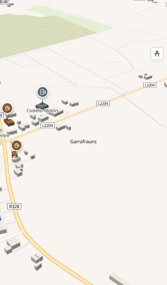
Garrafrauns is a village of County Galway, 43 km north of Galway city. This page is a working model of it: every one of its 581 buildings stands on the map above, and 90 shops, cafés, schools, churches and services have a page each, with the street, the hours where recorded, the nearest bus stop and car park, and a plan of the streets around it. Everything comes from open map data and says so.
Live forecast for the centre, hour by hour and the week ahead.
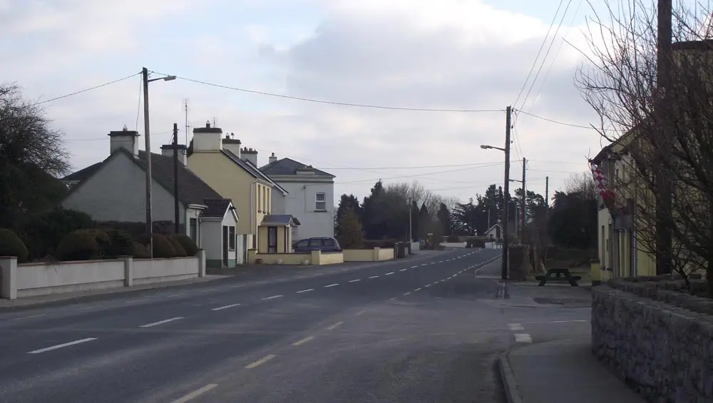
43 km from Galway, 31 km from Knock, 0 bus stops, 0 car parks.
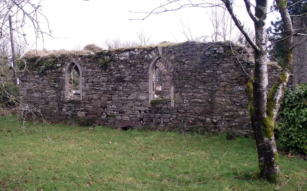
St Patrick's, the mill, Strawberry Hill, Dunmore Castle, Kilcloony.
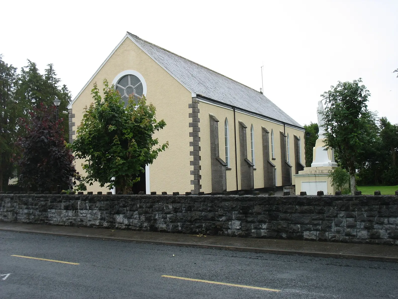
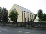
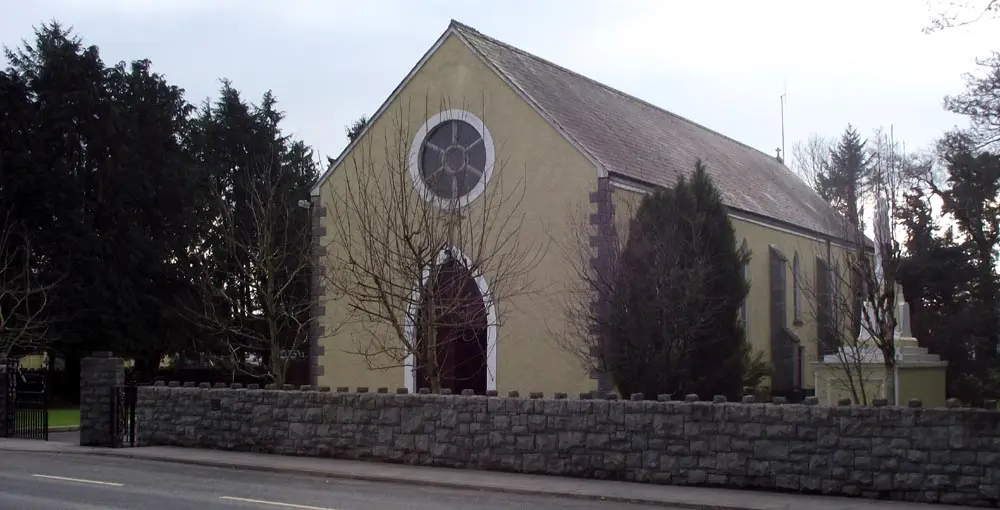
The thatched church of 1820, the mill, the church of 1913, the school, the book.
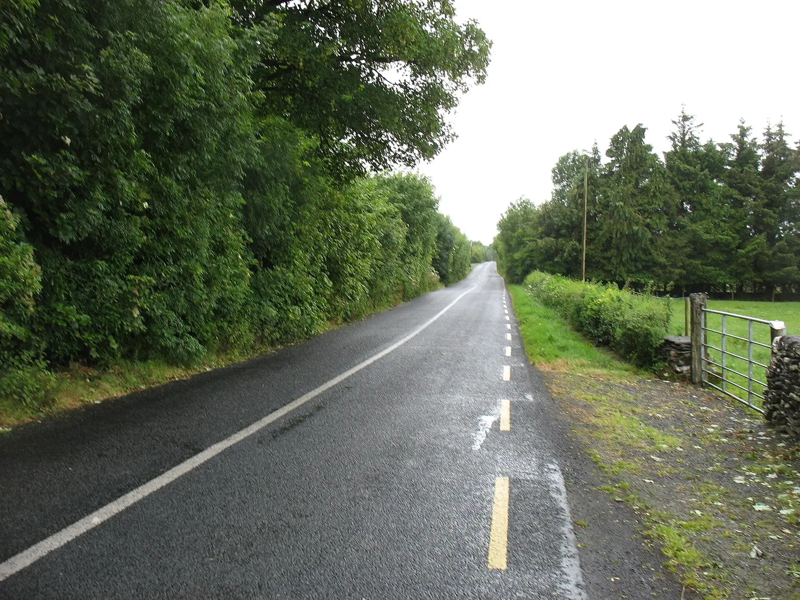
where it is, what is here.
What is in Garrafrauns
3 pubs, 1 schools, 1 banks, 1 petrol and 9 churches and more, by kind. Each kind has a page listing every one, closest to the church first.
Where to eat in Garrafrauns
3 cafés, restaurants, takeaways and pubs on the map, 3 of them within 300 m of the church. 0 have hours on record.
- Lally’s Welcome InnPubs · R328
- Joe’sPubs
- The White HousePubs
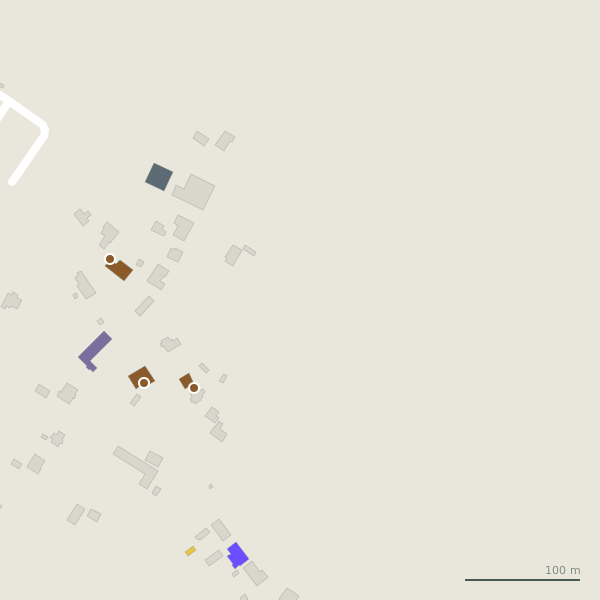
Every place to eat and drink as a pin; tap one for its page and directions.
Street by street
All 1 streetsThe map names 1 road here but records no shop on any of them yet.
Things to see around Garrafrauns
ClintMalpaso, CC BY-SA 3.0 via Wikimedia Commons

ClintMalpaso, CC BY-SA 3.0 via Wikimedia Commons

ClintMalpaso, CC BY-SA 3.0 via Wikimedia Commons

Castles, abbeys, old churches, beaches, viewpoints and parks within 12 km, closest first, plus 45 ringforts and ancient sites and 6 holy wells on their own pages.
- Infants' Burial GroundWoods · 3.1 km
- Strawberry HillRuins · 4.3 km
- Dunmore CastleCastles · 4.6 km
- Corn Mill (ruins)Ruins · 4.6 km
- Millbrook HouseRuins · 4.9 km
- Cloonalroon LakeLakes · 4.9 km
- Castlereach LoughLakes · 5.2 km
- Dunmore HouseHistoric houses · 5.6 km
- Castletown HouseHistoric houses · 7.5 km
Garrafrauns in pictures
Photographs of the place and the country around it, each from an open archive and credited to the person who took it.
ClintMalpaso, CC BY-SA 3.0 via Wikimedia Commons
ClintMalpaso, CC BY-SA 3.0 via Wikimedia Commons
ClintMalpaso, CC BY-SA 3.0 via Wikimedia Commons
David Purchase, CC BY-SA 2.0 via Wikimedia Commons

David Purchase, CC BY-SA 2.0 via Wikimedia Commons

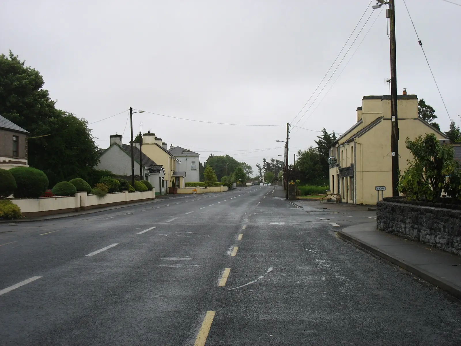
David Purchase, CC BY-SA 2.0 via Wikimedia Commons

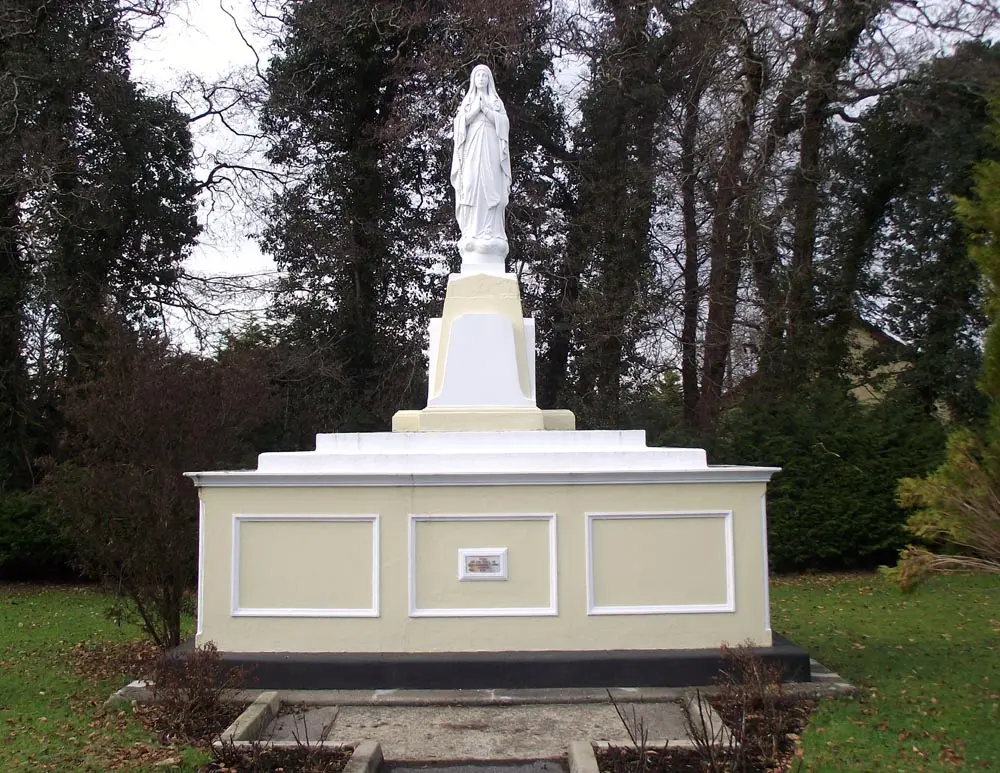
ClintMalpaso, CC BY-SA 3.0 via Wikimedia Commons

Questions people ask
Where is Garrafrauns?
How far is Garrafrauns from Galway?
What is Garrafrauns known for?
What is the weather like in Garrafrauns today?
How the model is built
The buildings are OpenStreetMap footprints, read on 2026-09-18, stood up to the height the map records or a plain two storeys where it records none. Streets, water and the base map come from the same project through OpenFreeMap. Places are the named shops, services and public buildings on the map; each has its own page.
A building takes the colour of the kind of place inside it: restaurants in red, pharmacies in green, schools in yellow. Nothing is invented to fill a gap: a missing fact is shown as missing, with a link to add it to the map. More about the model.