The Maumturks
From Leenaun the mountains that run south toward Maam Cross in a nearly straight line are the Maumturks, the boar's pass mountains, weathered quartzite like the Bens across the valley. Walking the whole range in a day is one of the great classic ridge walks in Ireland, and the university's mountaineering club has run it as the Maamturks Challenge every year since 1975: 25 kilometres of ridge, done in one go.
Checked against the source on 2026-09-19.
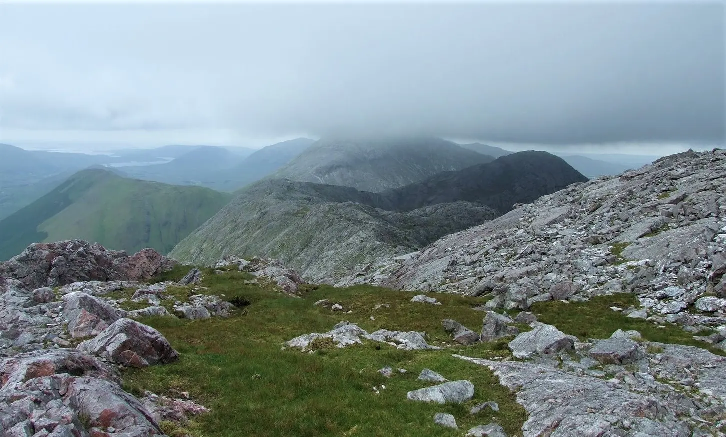
Britishfinance, CC BY-SA 4.0 via Wikimedia Commons

The challenge and the pass
The range lies east of the Twelve Bens on the far side of Lough Inagh and the Inagh Valley, a Western Way route. Near its centre, in a deep glen, is Máméan, a place of pilgrimage dedicated to St Patrick. The Ordnance Survey has, in the cartographer Tim Robinson's words, been wrongly calling one summit Leckavrea for a hundred and fifty years, Lackavrea being the mountain across Mám Aodha to the east, and another is often misnamed Barrslievenaroy after a townland on its slopes. Climbers find routes from V-Diff to HVS around Loch Mhám Ochóige.
From Leenaun
The northern end of the range drops to Killary Harbour and the village; the Killary guide covers the fjord and the Twelve Bens guide the range across the valley. Leenaun's hotels, pubs and the Sheep and Wool Centre are on the model.
Questions people ask
How long is the Maamturks Challenge?
What is Máméan?
What does Maumturks mean?
Written from Wikipedia, "Maumturks" (CC BY-SA 4.0), read on 2026-09-19, and from the OpenStreetMap places on the model. Nothing has been added from memory; follow the source for its footnotes.