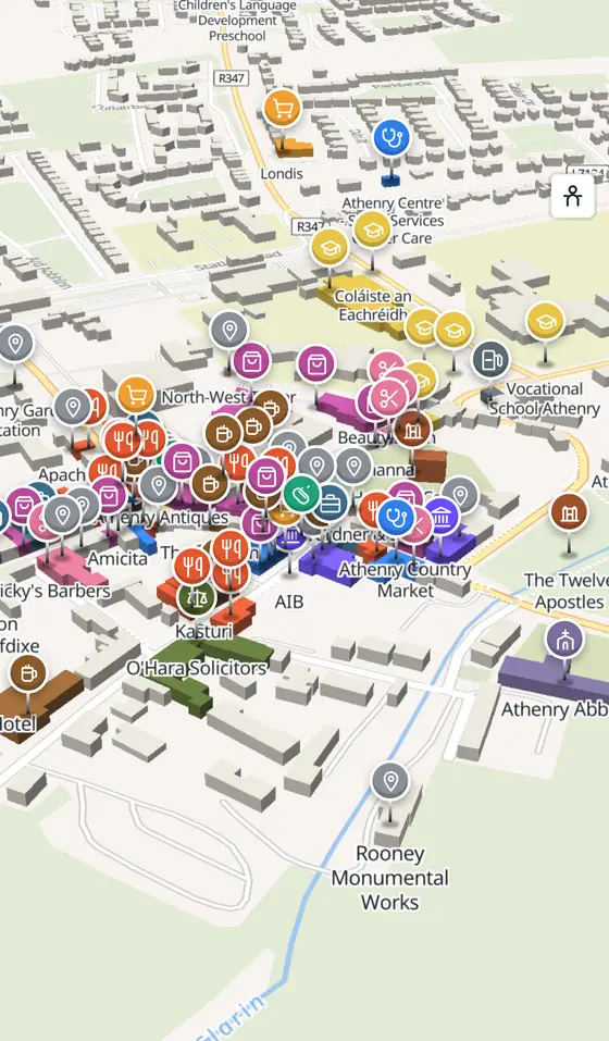
Athenry, street by street
A ford of the kings, a Norman castle, a Dominican priory and the most complete town wall in Ireland, still on its thirteenth-century street plan.
Athenry is a town of 4,603 people, 20 km east of Galway city. This page is a working model of it: every one of its 2,427 buildings stands on the map above, and 226 shops, cafés, schools, churches and services have a page each, with the street, the hours where recorded, the nearest bus stop and car park, and a plan of the streets around it. Everything comes from open map data and says so.
Live forecast for the centre, hour by hour and the week ahead.
20 km from Galway, 49 km from Aerphort Chonamara, 5 bus stops, 3 car parks.
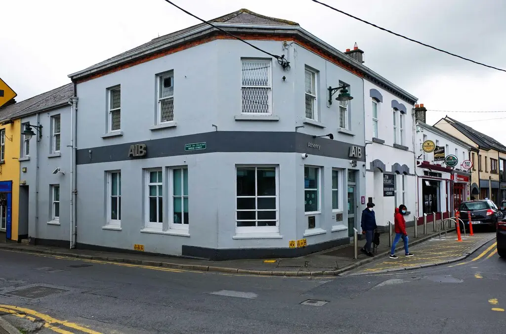
The castle, the priory, the town wall and North Gate, the Market Cross, the heritage centre and Moyode Castle.
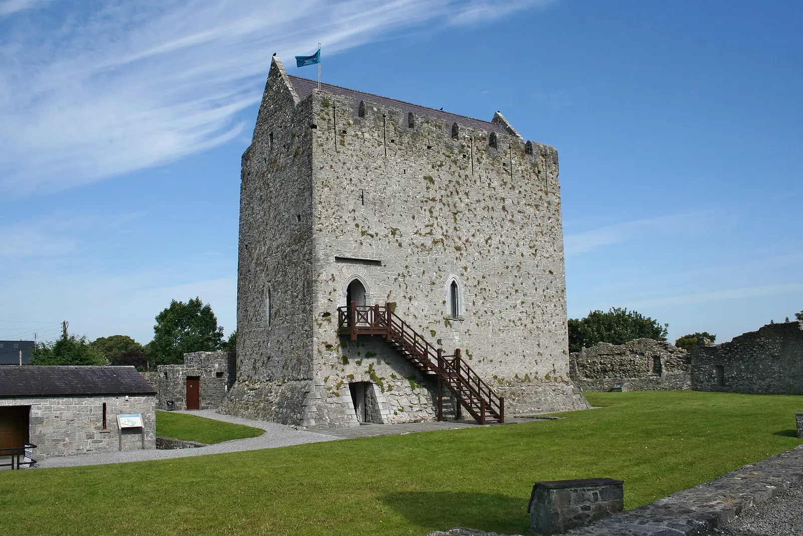
The ford of the kings, the Berminghams, the priory of 1241, the wall, the Market Cross, the railway junction of 1851.
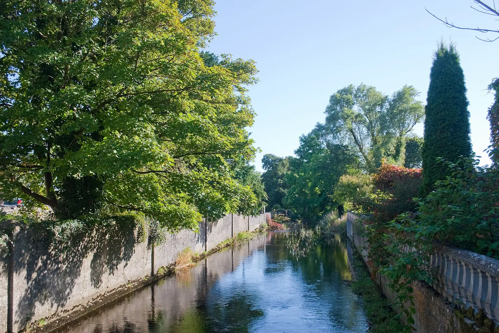
Population 4,603 at the 2022 census, where it is, what is here.
What is in Athenry
15 restaurants, 12 pubs, 18 shops, 11 hairdressers and beauty and 6 supermarkets and more, by kind. Each kind has a page listing every one, closest to the Square first.
- Restaurants15
- Pubs12
- Shops18
- Hairdressers and beauty11
- Supermarkets6
- Pharmacies4
- Doctors7
- Schools14
- Banks4
- Solicitors2
- Offices and agents11
- Petrol7
- Gyms and sport7
- Hotels4
- Churches4
- Parks and views15
- Castles and heritage55
Guides to Athenry
All 7 guidesAthenry station, open since 1 August 1851, is the junction east of Galway: intercity trains to Dublin, commuter trains to Galway and…
Athenry Castle is a 13th-century tower on the west bank of the Clarin, built about 1235 to 1240 and extended by Meyler de Bermingham…
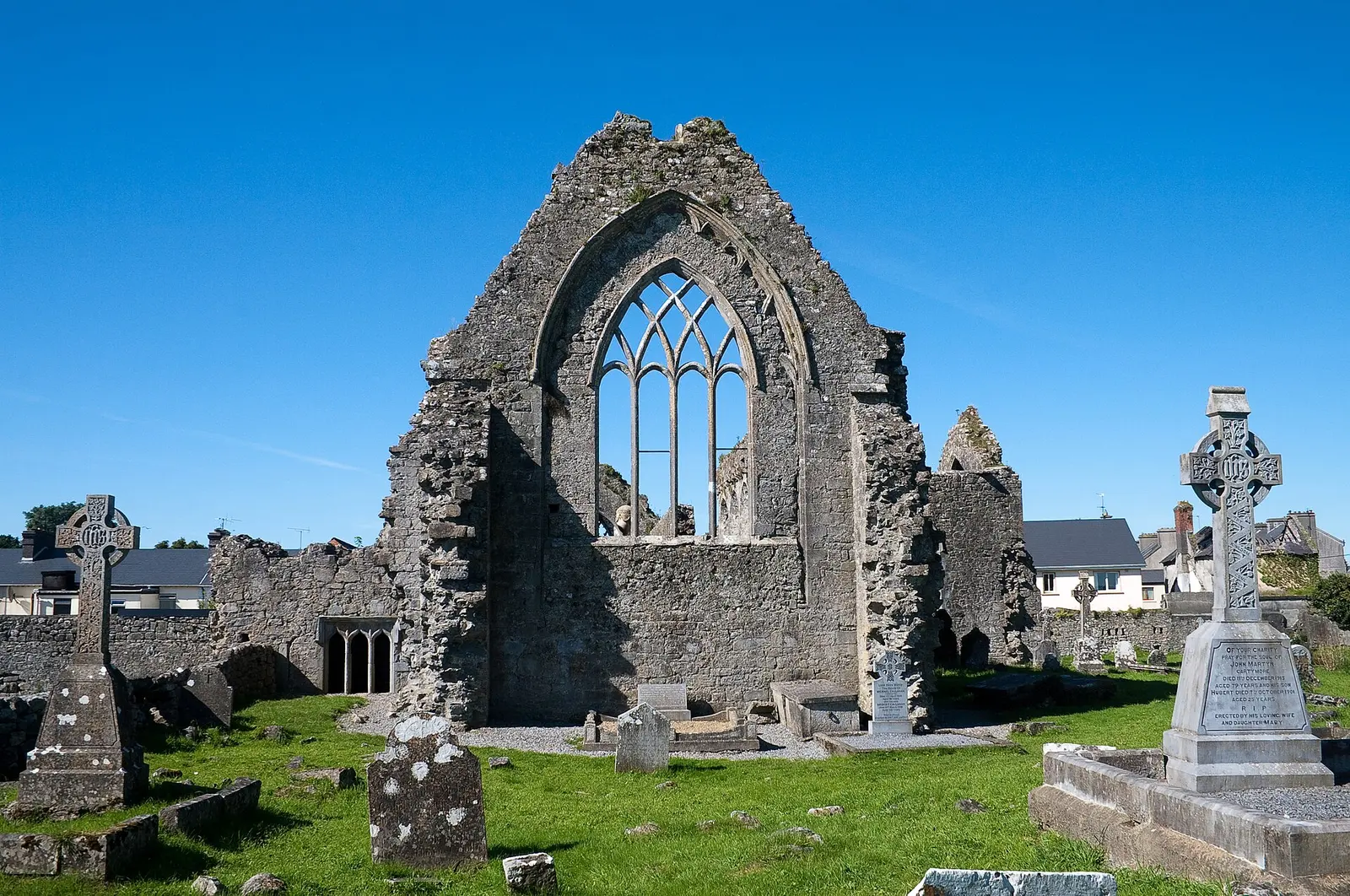
The Priory of St Peter and St Paul was founded in Athenry in 1241 by Meyler de Bermingham, with a refectory built by the King of…
The Fields of Athenry is a 1979 ballad by Pete St John about a Famine-era man from near Athenry transported to Botany Bay for stealing…
The Western Rail Corridor is the partly disused Limerick to Sligo line through Ennis, Gort, Athenry, Tuam and Claremorris: Ennis to…
The M6, with the M4, is the Dublin to Galway motorway, completed on 18 December 2009 as the first direct city-to-city motorway in…
Where to eat in Athenry
27 cafés, restaurants, takeaways and pubs on the map, 23 of them within 300 m of the Square. 3 have hours on record.
- Supermac'sTakeaways · Burkes Lane
- The Central BarPubs · Davis Street
- The Square InnPubs · Cross Street
- La RusticaRestaurants · North Gate Street
- Luca'sTakeaways · Market Street
- The Hop InnPubs · Davis Street
- Dan’s BarPubs · North Gate Street
- The Skillet InnPubs · North Gate Street
Restaurants · Cafés · Takeaways · Pubs
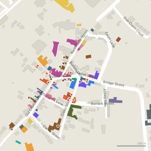
Every place to eat and drink as a pin; tap one for its page and directions.
Street by street
All 61 streets- Old Church Street35 placesminor road · 491 m
- Cross Street15 placesminor road · 231 m
- North Gate Street11 placesminor road · 181 m
- Market Street6 placeslink road · 68 m
- Prospect6 placeslink road · 615 m
- Davis Street5 placeslink road · 74 m
- Raheen Woods Road4 placesminor road · 557 m
- Burkes Lane3 placesminor road · 57 m
- Clarke Street3 placesminor road · 127 m
- Loughrea Road3 placesregional road R347 · 3.1 km
Things to see around Athenry
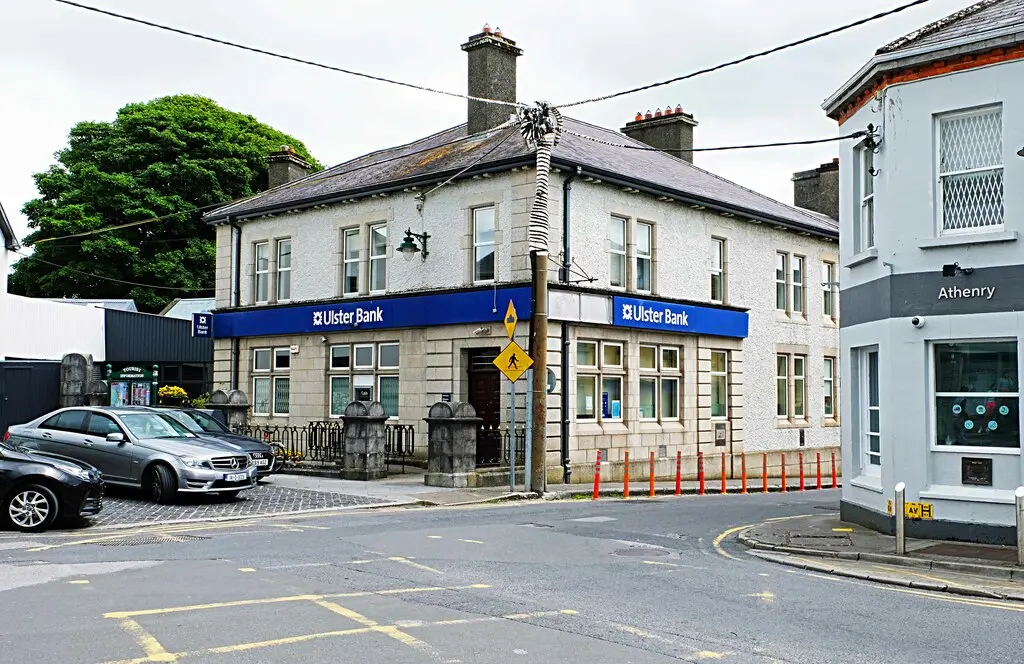
P L Chadwick, CC BY-SA 2.0 via Wikimedia Commons

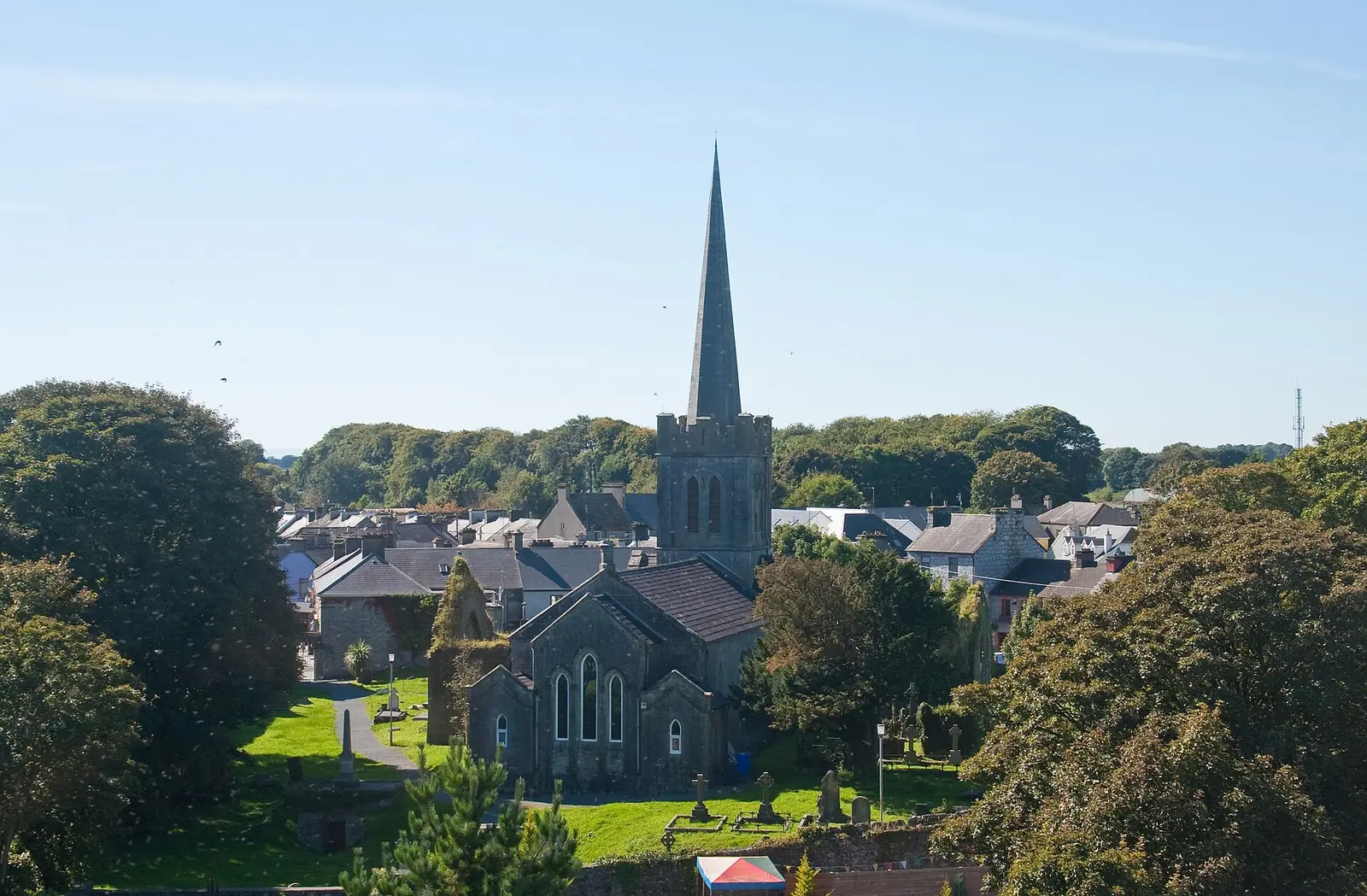
Andreas F. Borchert, CC BY-SA 4.0 via Wikimedia Commons

P L Chadwick, CC BY-SA 2.0 via Wikimedia Commons

Castles, abbeys, old churches, beaches, viewpoints and parks within 12 km, closest first, plus 20 ringforts and ancient sites and 3 holy wells on their own pages.
- Heritage CenterMuseums · 73 m
- The Twelve ApostlesMonuments · 127 m
- Athenry CastleCastles · 189 m
- Church (ruins)Ruins · 2.2 km
- Castle (ruins)Castles · 4.4 km
- Moyard WoodWoods · 4.6 km
- Moyode CastleCastles · 5.7 km
- Derrydonnell CastleCastles · 5.7 km
- Belleville CastleCastles · 5.8 km
Castles · Ringforts · Holy wells · Hotels
Athenry in pictures
Photographs of the place and the country around it, each from an open archive and credited to the person who took it.
P L Chadwick, CC BY-SA 2.0 via Wikimedia Commons
Andreas F. Borchert, CC BY-SA 4.0 via Wikimedia Commons
P L Chadwick, CC BY-SA 2.0 via Wikimedia Commons
Ingo Mehling, CC BY-SA 3.0 via Wikimedia Commons

Andreas F. Borchert, CC BY-SA 4.0 via Wikimedia Commons

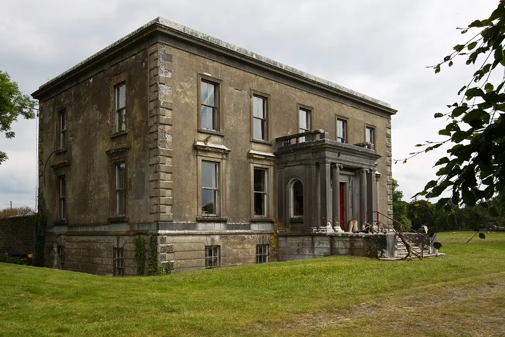
Mike Searle, CC BY-SA 2.0 via Wikimedia Commons

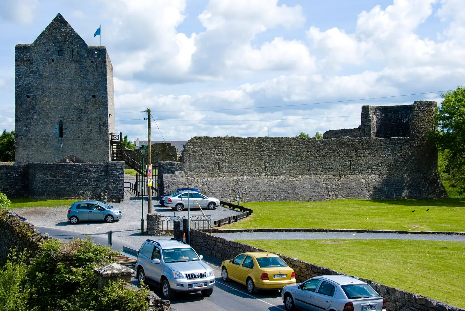
Conor Lawless from Newcastle-Upon-Tyne, United Kingdom, CC BY 2.0 via Wikimedia Commons

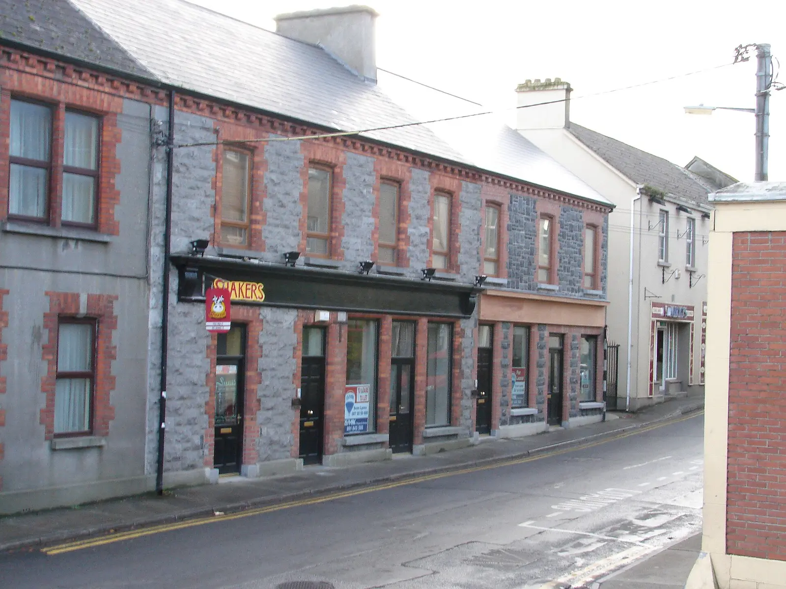
macaco99, CC BY 3.0 via Wikimedia Commons

Questions people ask
Where is Athenry?
What is the population of Athenry?
How far is Athenry from Galway?
What is Athenry famous for?
What is the history of Athenry?
What is the weather like in Athenry today?
How the model is built
The buildings are OpenStreetMap footprints, read on 2026-09-18, stood up to the height the map records or a plain two storeys where it records none. Streets, water and the base map come from the same project through OpenFreeMap. Places are the named shops, services and public buildings on the map; each has its own page.
A building takes the colour of the kind of place inside it: restaurants in red, pharmacies in green, schools in yellow. Nothing is invented to fill a gap: a missing fact is shown as missing, with a link to add it to the map. More about the model.