About Ballinasloe
Ballinasloe is a town in County Galway, 55 km east of Galway city, with 6,597 people at the 2022 census. The ford of the crowds on the Suck, a castle, a canal that carried Guinness west, and the oldest horse fair in Europe every October.
- Population
- 6,597 (2022 census)
- Where
- 55 km from Galway, 130 km from Dublin
- Position
- 53.3303° N, 8.2214° W
- In Irish
- Béal Átha na Sluaighe
- On the model
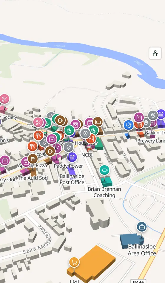
- 3,496 buildings, 37 streets, 187 places in 70 kinds
- Read more
- Ballinasloe on Wikipedia
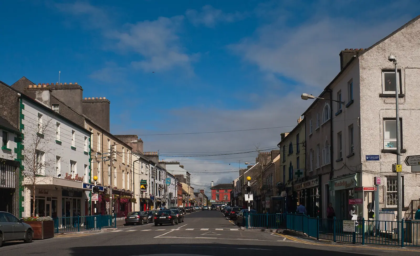
Andreas F. Borchert, CC BY-SA 4.0 via Wikimedia Commons

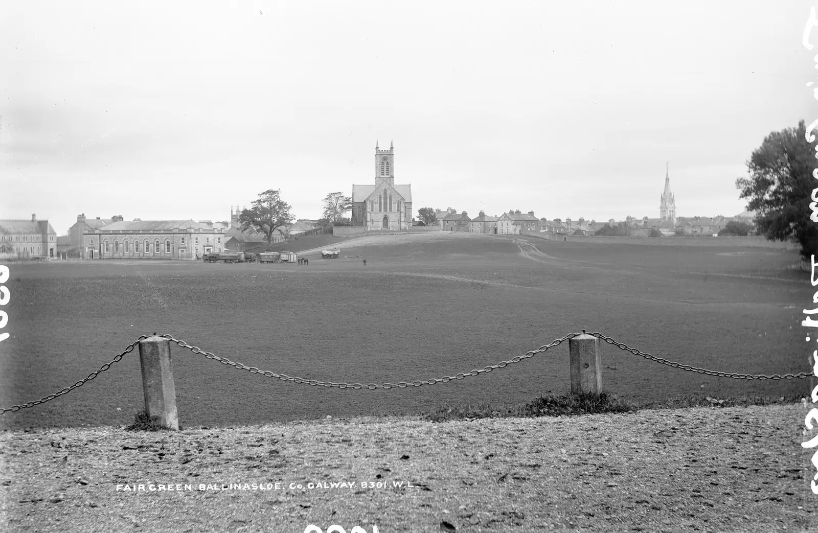
Robert French, no restrictions via Wikimedia Commons

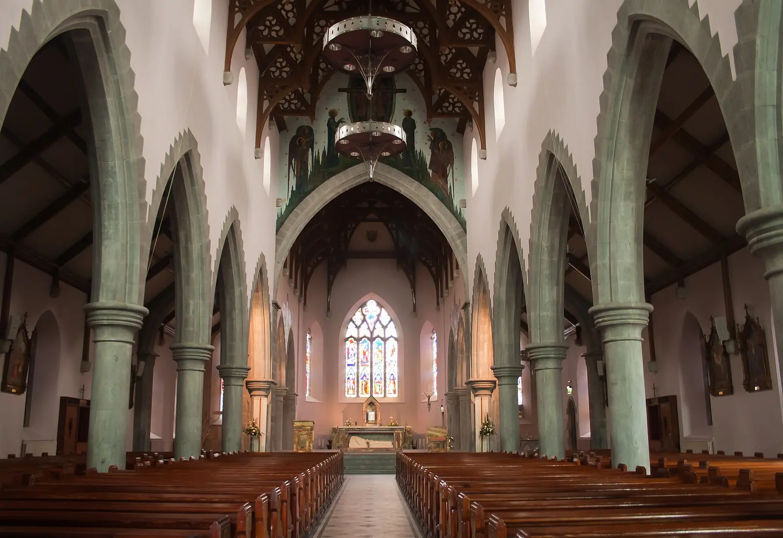
Andreas F. Borchert, CC BY-SA 4.0 via Wikimedia Commons

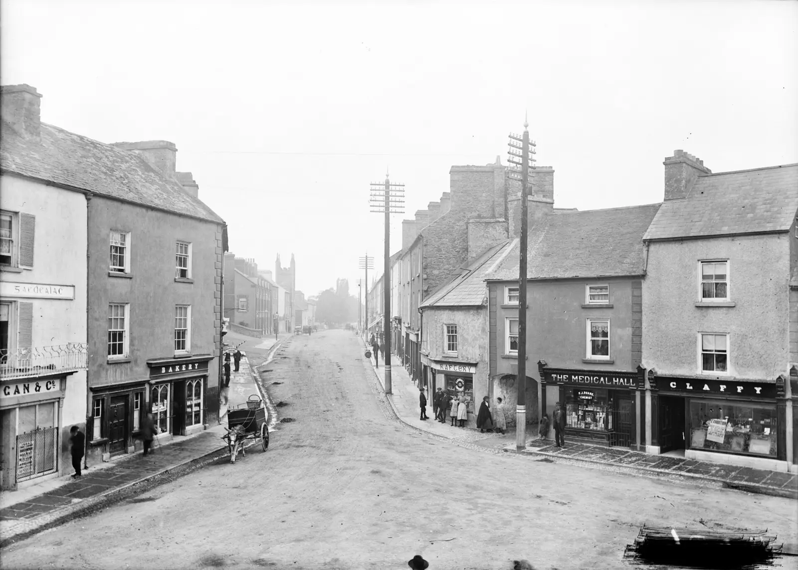
National Library of Ireland on The Commons, no restrictions via Wikimedia Commons

A short history
- Bronze AgeA crossing on the Suck. The town grew at a crossing of the River Suck, the Shannon tributary that divides Galway from Roscommon; the Irish name means the mouth of the ford of the crowds.
- Early 1200sDe Burgh's town. Richard Mór de Burgh, who died about 1242, is credited with founding the town early in the thirteenth century.
- 1828The Grand Canal arrives. From 1828 until the 1960s Ballinasloe was the western terminus of the Grand Canal, and Guinness used the canal stores here to supply the midlands by barge from Dublin.
- 1842 to 1851The workhouse. Opened in 1842 for £9,500 and built for a thousand, the workhouse held 2,487 people at the 1851 census.
- 1978Supermac's. The fast-food chain opened its first restaurant in Ballinasloe in 1978; by 2019 it had 116 outlets, three of them in the town.
What to see
The river that made the town, the county boundary, and the public marina that opens it to the Shannon navigation.
- St Michael's Square and the Main Street
The eighteenth- and nineteenth-century centre, built in the local limestone; the Garda station and the courthouse of about 1840 show the stone at its best.
- The castle wall
The ruined outer wall of the castle on the east bank that guarded the ford from the twelfth century and was enlarged by the O'Kellys.
- Clontuskert Abbey5.3 km
A national monument seven kilometres from the town: the cloister and church of the medieval priory are open to all.
In Aughrim village, seven kilometres west, the story of the 1691 battle in which three kings' struggle for Ireland was decided.
- Famine Remembrance Park
The memorial park a kilometre from the centre at Cleaghmore, remembering the years when the workhouse held two and a half times the people it was built for.
Population since 1821
Source: Wikipedia article 'Ballinasloe', Historical populations template, citing the CSO census.
Questions people ask
Where is Ballinasloe?
What is the population of Ballinasloe?
What is there in Ballinasloe?
What is Ballinasloe famous for?
What is the history of Ballinasloe?
Getting around
Ballinasloe sits on the M6, which has bypassed the town since December 2009. 6 bus stops and 2 car parks are on the map.
History, sights and civic facts summarise Wikipedia, "Ballinasloe" (CC BY-SA 4.0, read 2026-09-19). Population is the CSO census as listed there. Distances and everything on the model are OpenStreetMap.