About Ballinderreen
Ballinderreen is a village in County Galway, 14 km south-east of Galway city, with 383 people at the 2022 census. The townland of the little oak grove, a mile and a half from Galway Bay, with St Sourney's early Christian site at Drumacoo, a turlough and limestone pavement the locals call the mini-Burren.
- Population
- 383 (2022 census)
- Where
- 14 km from Galway, 177 km from Dublin
- Position
- 53.1863° N, 8.9089° W, 20 m above sea level
- In Irish
- Baile an Doirín
- On the model
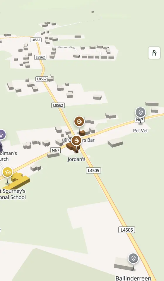
- 596 buildings, 5 streets, 108 places in 28 kinds
- Read more
- Ballinderreen on Wikipedia
A short history
- Early Christian timesSourney of Drumacoo. The civil parish is Drumacoo, and the early Christian settlement of St Sourney lies within it.
- 1857The school. The national school in the village is one of the oldest in the country.
- 2000 to 2010New houses. Several small developments raised the village's population, and a small shopping centre with a fuel station, shop and takeaway opened in 2009.
- TodayMusic and mummers. Ceoltóirí an Doirín teaches and records traditional music, and the mummers' tradition is alive in the parish.
What to see
- Drumacoo Church1.4 km
St Sourney's site, 1.4 km from the village.
- Tyrone House2.3 km
The ruined mansion by the bay, 2.3 km away.
- The turlough
The lake with its reed beds a kilometre west, and the limestone pavement around it.
- The piers
Aran, Mulroog and Tarrea piers, sheltering pleasure boats on Dunbulcaun Bay and Brandy Harbour.
- Kiltiernan Church4.4 km
The old church 4.4 km inland.
- Dunguaire Castle5.1 km
The tower house at Kinvara, 5 km along the N67.
Questions people ask
Where is Ballinderreen?
What is the population of Ballinderreen?
What is there in Ballinderreen?
What is Ballinderreen known for?
Getting around
Ballinderreen sits on the N67 between Kilcolgan and Kinvara. 0 bus stops and 0 car parks are on the map.
History, sights and civic facts summarise Wikipedia, "Ballinderreen" (CC BY-SA 4.0, read 2026-09-19). Population is the CSO census as listed there. Distances and everything on the model are OpenStreetMap.