About Barna
Barna is a town in County Galway, 7 km west of Galway city, with 2,336 people at the 2022 census. A Gaeltacht village seven kilometres west of the city on the coast road, with a Georgian house of 1778, a quay by Alexander Nimmo and a population that has grown into Galway's suburb.
- Population
- 2,336 (2022 census)
- Where
- 7 km from Galway, 192 km from Dublin
- Position
- 53.2519° N, 9.1514° W
- In Irish
- Bearna
- Twinned with
- Esquibien, Brittany
- On the model
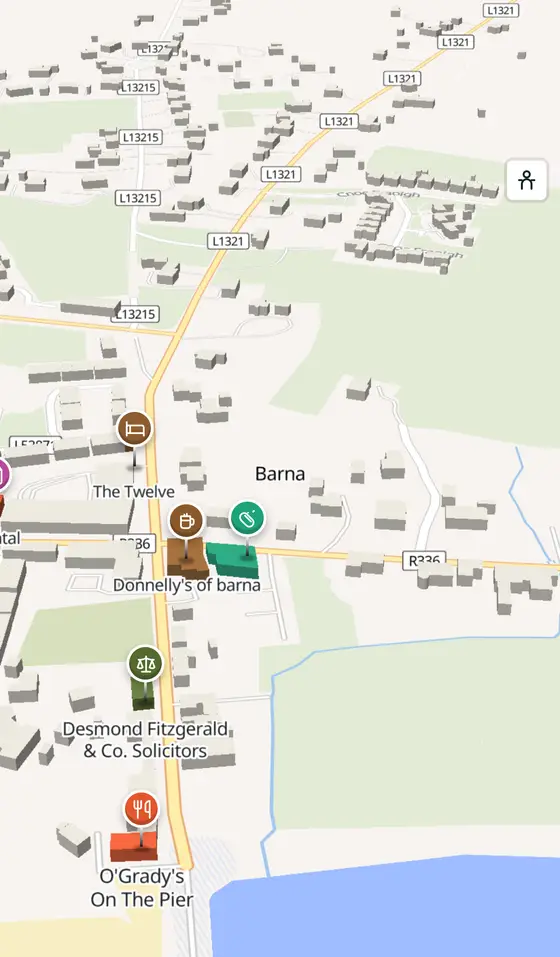
- 1,469 buildings, 12 streets, 205 places in 45 kinds
- Read more
- Barna on Wikipedia
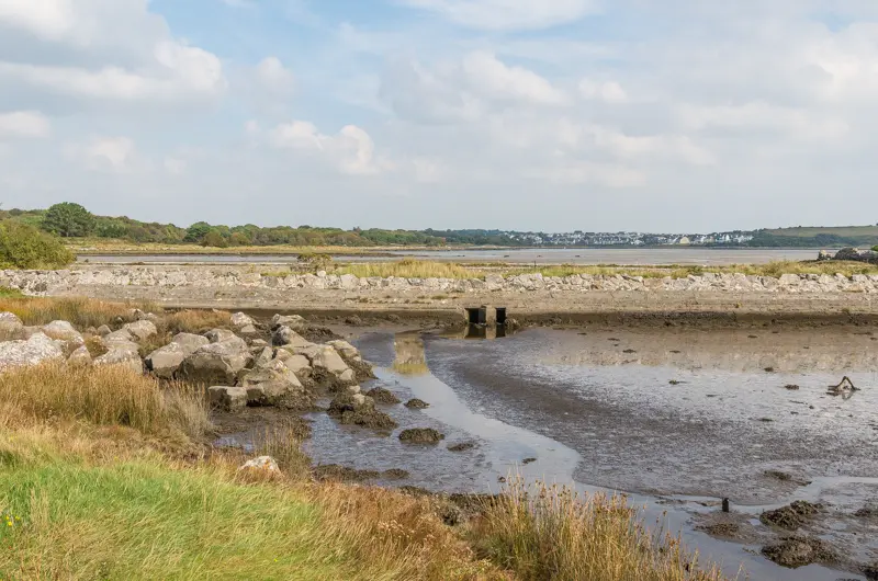
Ian Capper, CC BY-SA 2.0 via Wikimedia Commons

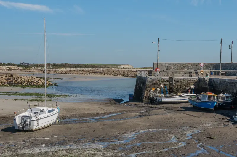
Ian Capper, CC BY-SA 2.0 via Wikimedia Commons

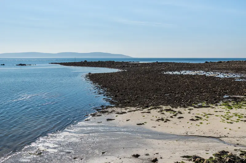
Ian Capper, CC BY-SA 2.0 via Wikimedia Commons

Ian Capper, CC BY-SA 2.0 via Wikimedia Commons

A short history
- Early timesMiddens and forts. Shell middens, ringforts, holy wells and castle sites lie in the townlands of Barna, Knockaunnacarragh, Derryloney and Truskey.
- 1778Barna House. The large Georgian house in Barna townland was built.
- 1820sNimmo's quay. The quay was built to the engineer Alexander Nimmo's designs.
- 1976The co-operative. Comharchumann Bearna Teoranta was formed after funds were raised to buy two acres at Troscaigh Thiar for the community; a tennis court and pitch and putt course followed.
- 2008An Olympian. Cormac Folan of Freeport rowed for Ireland in the coxless four at the Beijing Games.
- 2011 to 2022Growing. The village had 1,878 people in 2011, at nearly a thousand to the square kilometre, and 2,336 by 2022.
What to see
- The quay
Alexander Nimmo's pier of the 1820s, at Freeport, An Chéibh.
- Barna House
The Georgian house of 1778.
- Tobar Éanna1.4 km
St Enda's well, 1.4 km from the village.
- Barna Woods
The woodland walks on the city side of the village.
- Silverstrand
The beach towards Salthill.
The reserve on the moor north of the village.
Questions people ask
Where is Barna?
What is the population of Barna?
What is there in Barna?
What is Barna known for?
Getting around
Barna sits on the R336, just west of Galway. 3 bus stops and 0 car parks are on the map.
History, sights and civic facts summarise Wikipedia, "Barna" (CC BY-SA 4.0, read 2026-09-19). Population is the CSO census as listed there. Distances and everything on the model are OpenStreetMap.