County Galway · Connacht
About Caltra
Caltra is a village in County Galway, 44 km north-east of Galway city. The burial ground of the palisade, a village of 115 people on the R358 whose football club won the All-Ireland club championship in 2004.
- Where
- 44 km from Galway, 145 km from Dublin
- Position
- 53.4355° N, 8.4370° W
- On the model
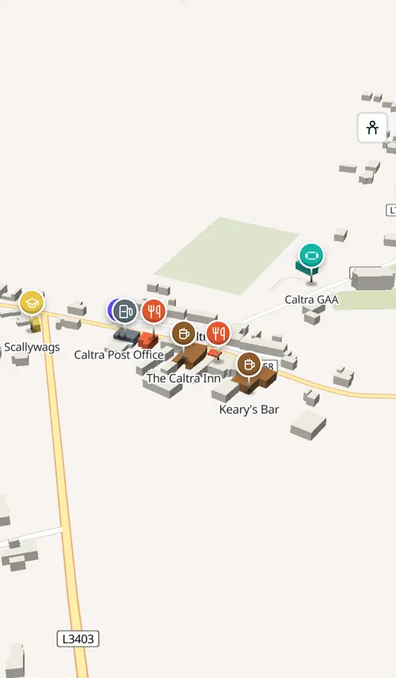
- 661 buildings, 2 streets, 88 places in 18 kinds
- Read more
- Caltra on Wikipedia
Andreas F. Borchert, CC BY-SA 4.0 via Wikimedia Commons

Andreas F. Borchert, CC BY-SA 4.0 via Wikimedia Commons

Andreas F. Borchert, CC BY-SA 4.0 via Wikimedia Commons

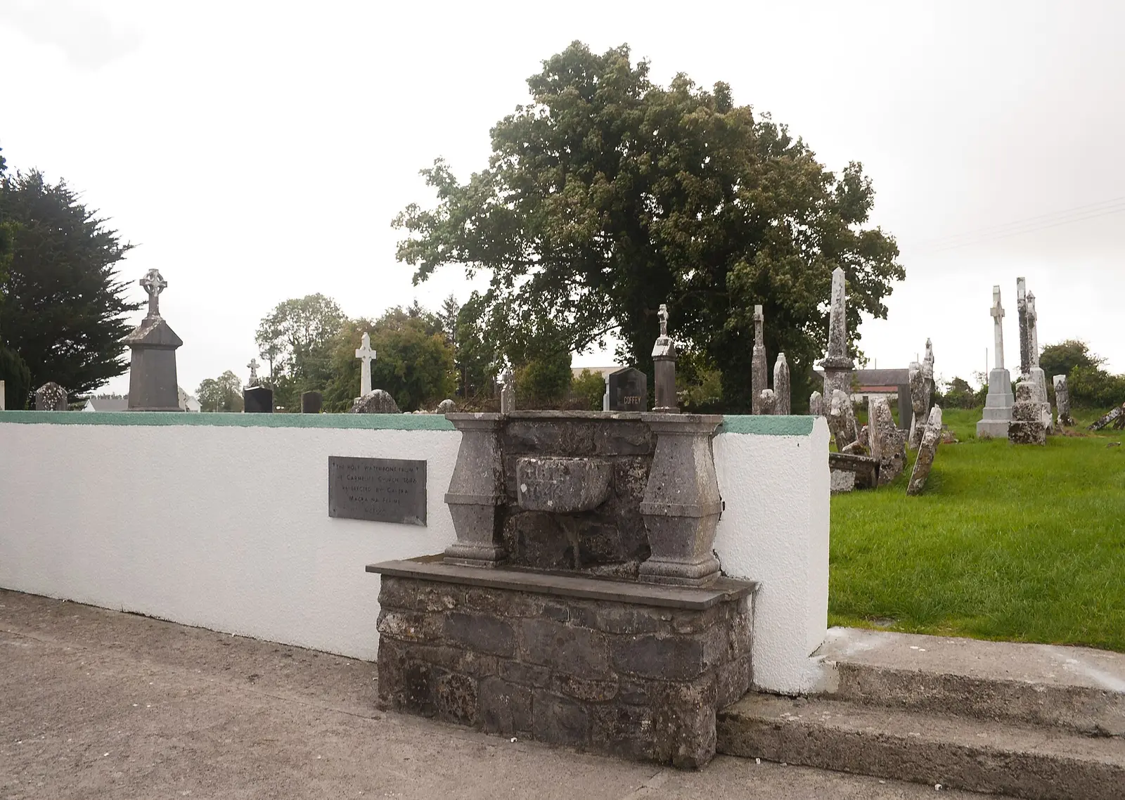
Andreas F. Borchert, CC BY-SA 4.0 via Wikimedia Commons

A short history
- Early timesForts and fosses. Ringforts, fosses and enclosures lie in the townlands of Caltra, Lisnagree and Lislea.
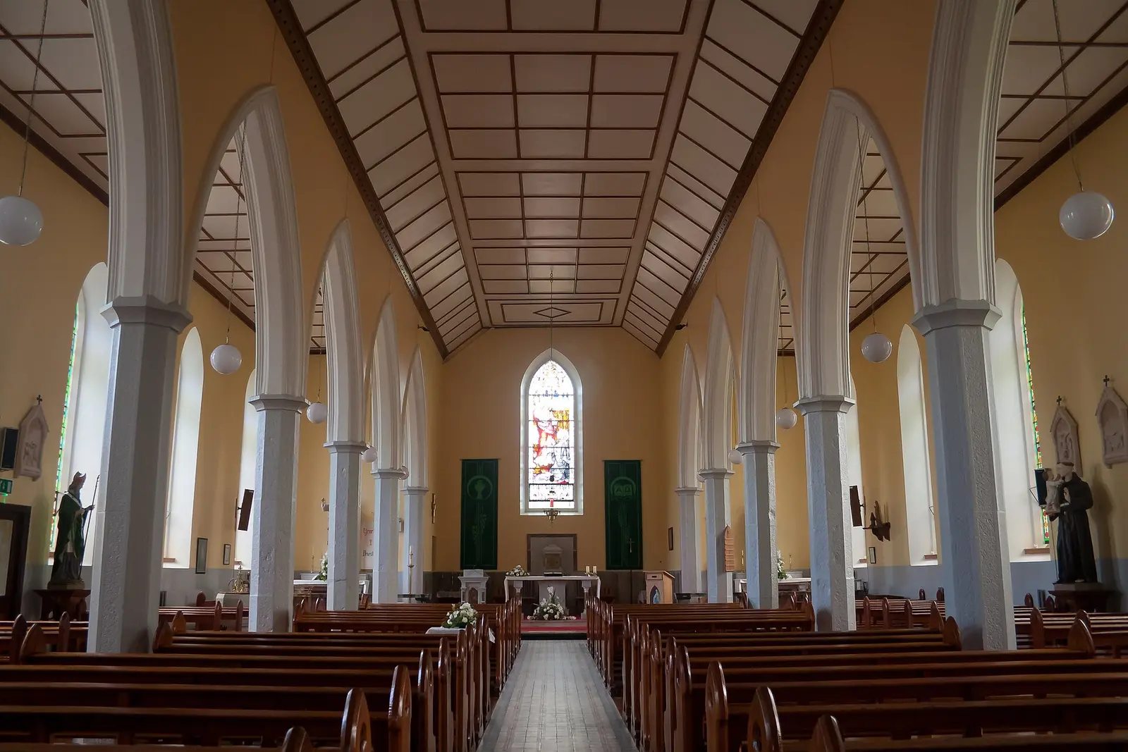
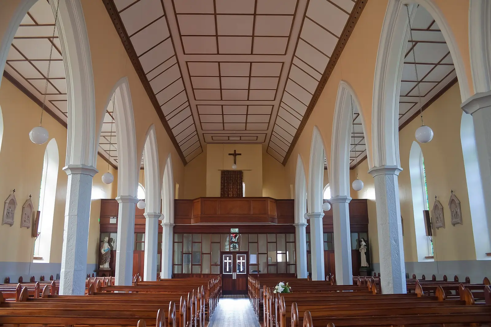
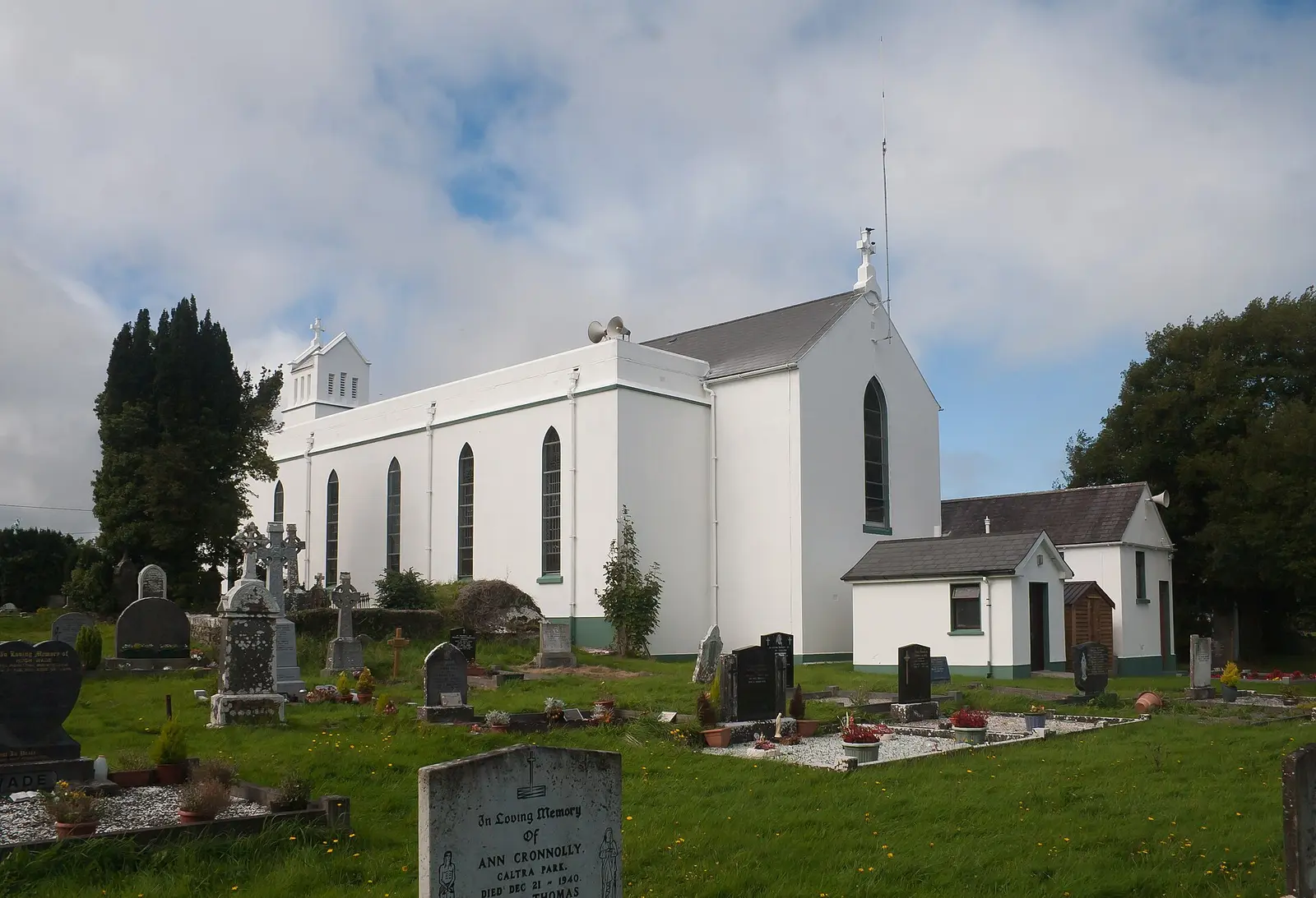
- About 1840St Solan's. The Catholic church was built on the site of an earlier friary, and extended in the late 1930s by W.
- 2004All-Ireland champions. Caltra GAA won the All-Ireland senior club football championship of 2003 to 2004.
- 2011115 people. The census count for the townland; Eamon Gilmore, later leader of the Labour Party, and the Galway footballer Michael Meehan are from the village.
What to see
- St Solan's Church
The church of about 1840 on the friary site.
- Killosolan Church3.0 km
The old church 3 km away.
- Clonbrock Castle4.6 km
The O'Kelly tower house, 4.6 km out.
- Ballinlass7.1 km
The memorial to the eviction of 1846, 7 km away.
- The old forge6.1 km
The forge museum at Mountbellew, 6 km off.
Questions people ask
Where is Caltra?
In County Galway, in the province of Connacht, in the west of Ireland: 44 km north-east of Galway city and 145 km west of Dublin, on the R358.
What is there in Caltra?
On the map, 88 named places in 18 kinds: 4 places to eat and drink, 0 shops, 2 schools, churches and public buildings, and 79 things to see within 12 km.
What is Caltra known for?
Its football club's All-Ireland of 2004, St Solan's church on a friary site, and Eamon Gilmore.
Getting around
Caltra sits on the R358. 0 bus stops and 0 car parks are on the map.
History, sights and civic facts summarise Wikipedia, "Caltra" (CC BY-SA 4.0, read 2026-09-19). Population is the CSO census as listed there. Distances and everything on the model are OpenStreetMap.