Roads, buses, parking
Getting to Carraroe
Carraroe is in County Galway, 37 km west of Galway city. Distances below are straight lines from the crossroads, so the road is a little longer; the bus stops and car parks are the ones on the map.
Cities
- Galway
- 37 km, to the east
- Limerick
- 93 km, to the south-east
- Cork
- 170 km, to the south-east
- Kilkenny
- 171 km, to the east
- Waterford
- 201 km, to the south-east
- Dublin
- 222 km, to the east
Airports
- Aerphort Chonamara
- 9 km, to the east
- Aerphort Chonamara
- 9 km, to the east
- Aeradróm Inis Mór
- 18 km, to the south
- Aeradróm Inis Mór
- 18 km, to the south
- Aeradróm Inis Meáin
- 19 km, to the south
Nearby towns
- Ennis
- 62 km, south-east
- Tralee
- 111 km, south
- Athlone
- 111 km, east
- Sligo
- 134 km, north-east
- Mullingar
- 153 km, east
- Portlaoise
- 155 km, east
- Clonmel
- 163 km, south-east
- Carrigaline
- 181 km, south-east
- Carlow
- 185 km, east
- Newbridge
- 187 km, east
Bus stops
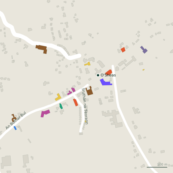
The map records 1 bus stop in Carraroe. Timetables are not open data; check the operator before you travel.
- Carraroe (O'Sheas)shelter
Parking
No car park is drawn on the map for Carraroe yet.
Positions from OpenStreetMap. See it all on the model.