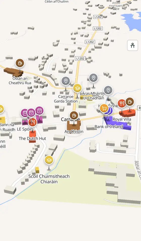
Carraroe, street by street
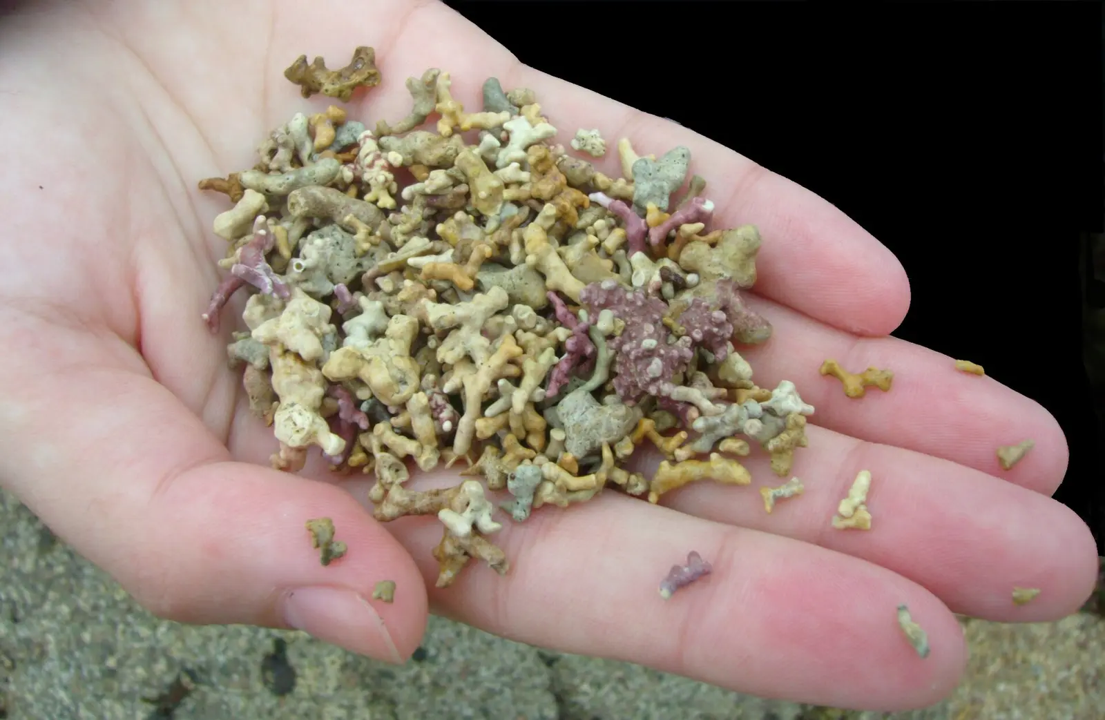
The most populous Irish-speaking village in Connemara, spread over a peninsula between two bays, with a beach made of coral-like algae and the biggest regatta of Galway hookers.
Carraroe is a town of 725 people, 37 km west of Galway city. This page is a working model of it: every one of its 1,977 buildings stands on the map above, and 171 shops, cafés, schools, churches and services have a page each, with the street, the hours where recorded, the nearest bus stop and car park, and a plan of the streets around it. Everything comes from open map data and says so.
Live forecast for the centre, hour by hour and the week ahead.
37 km from Galway, 9 km from Aerphort Chonamara, 1 bus stop, 0 car parks.
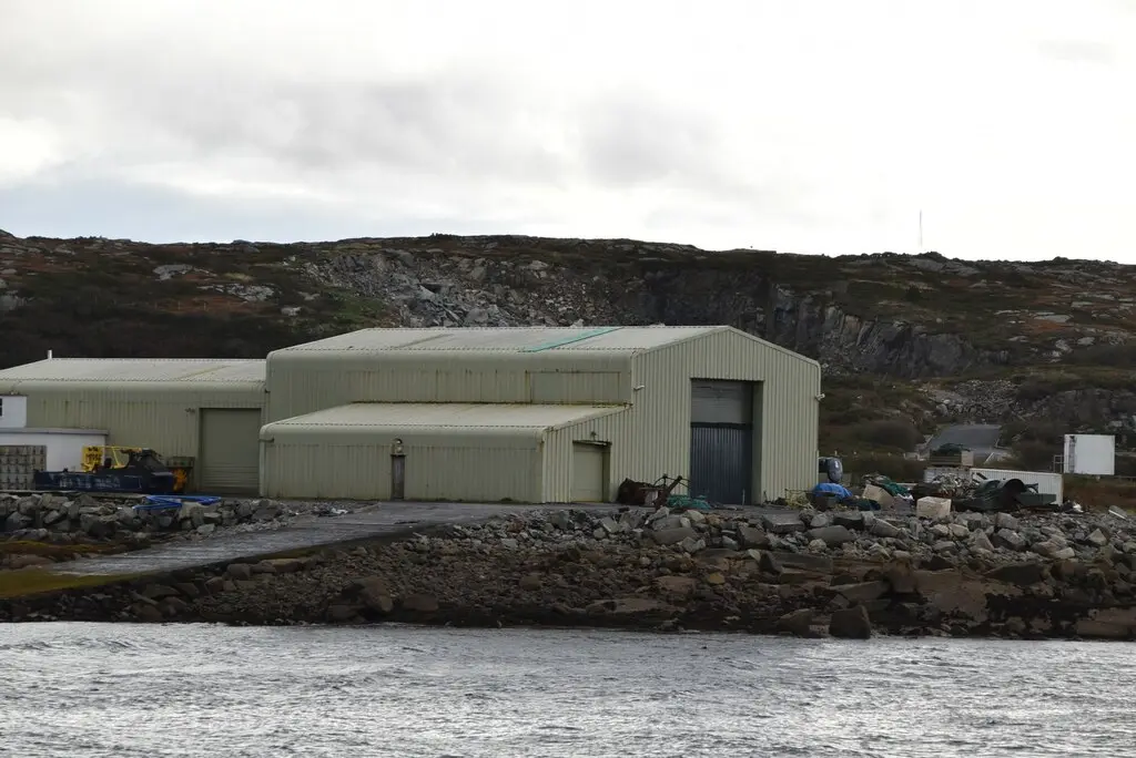
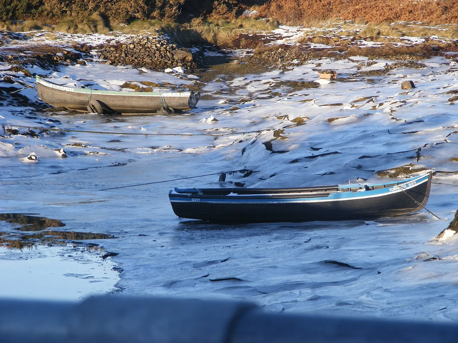
The coral strand, the pier and the hookers, the lake, the church, the university centre.
Turf boats, Charles Lamb, the Ó Cadhain centre, the UEFA night, the regatta of 2006, ninety per cent Irish.
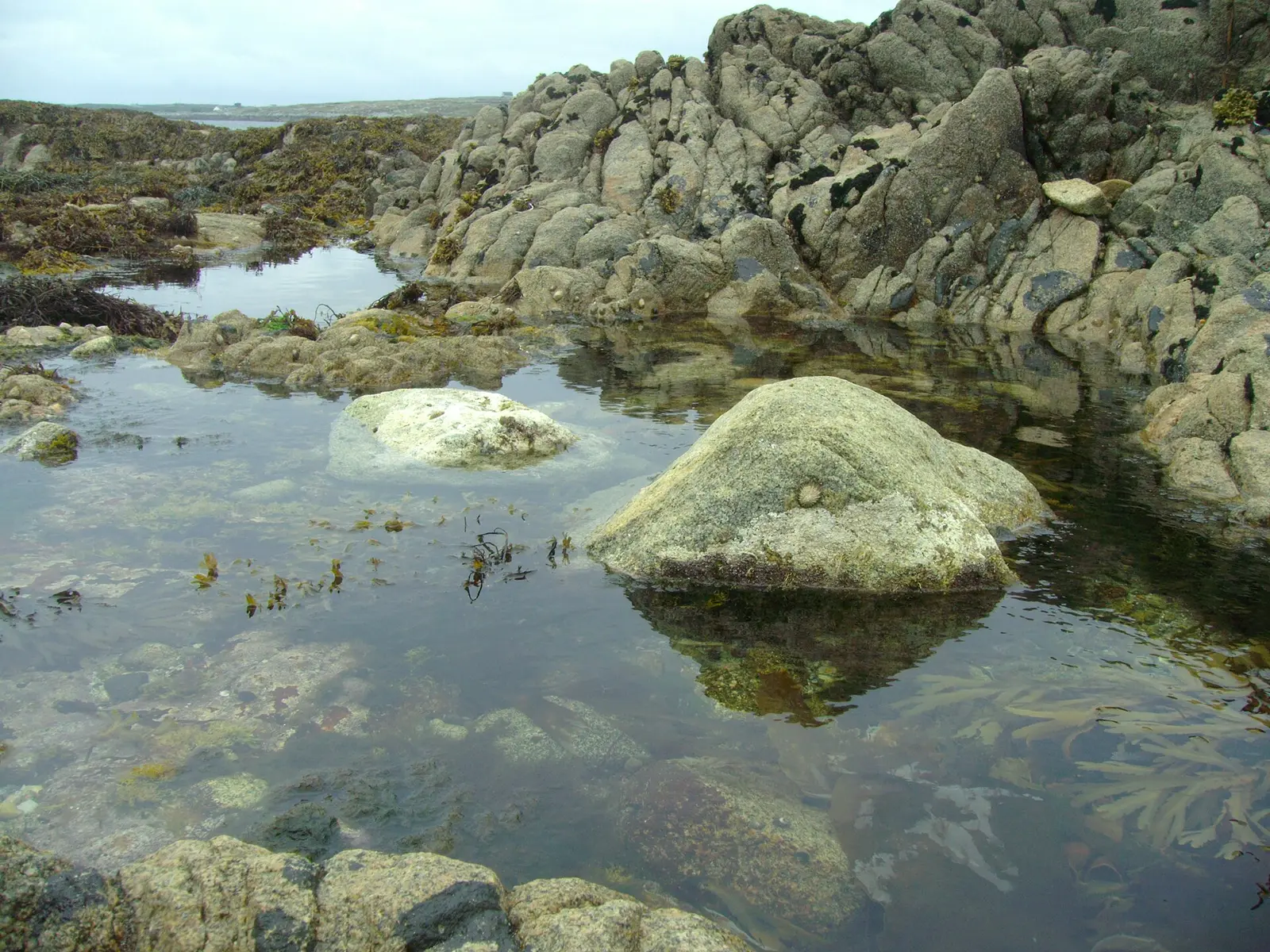
Population 725 at the 2022 census, where it is, what is here.
What is in Carraroe
4 restaurants, 4 pubs, 4 shops, 1 hairdressers and beauty and 1 supermarkets and more, by kind. Each kind has a page listing every one, closest to the crossroads first.
- Restaurants4
- Pubs4
- Shops4
- Hairdressers and beauty1
- Supermarkets1
- Pharmacies1
- Doctors2
- Schools4
- Banks2
- Petrol2
- Gyms and sport7
- Hotels2
- Churches3
- Parks and views94
- Castles and heritage6
Guides to Carraroe
All 1 guides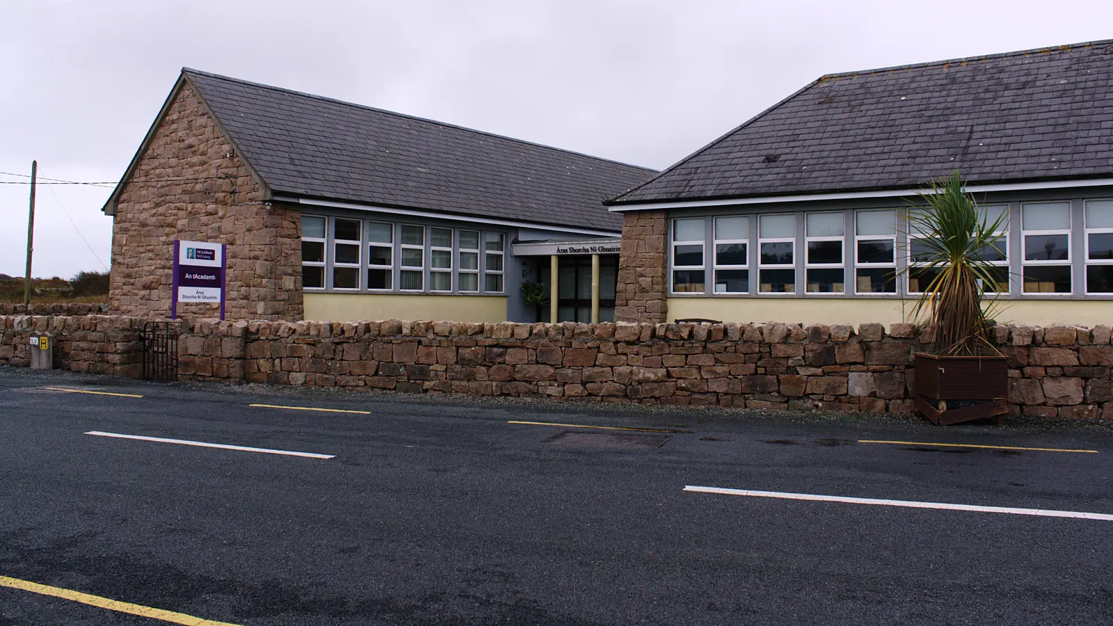
Where to eat in Carraroe
8 cafés, restaurants, takeaways and pubs on the map, 7 of them within 300 m of the crossroads. 0 have hours on record.
- An ChistinPubs · An Bothar Buí
- The Dutch HutTakeaways · Sruthán na Teorann
- Royal VillaRestaurants
- Tigh an TáilliúraPubs · Bóthar an Chillín
- Apache PizzaTakeaways · An Bothar Buí
- Pizza MaxTakeaways
- Óstán an Cheathrú RuaPubs · Cuilleán
- An RéaltPubs · An Bothar Buí
Restaurants · Takeaways · Pubs
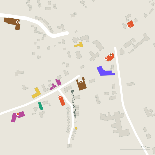
Every place to eat and drink as a pin; tap one for its page and directions.
Street by street
All 12 streets- An Bothar Buí12 placesminor road · 3.9 km
- Cuilleán2 placesminor road · 2.4 km
- Sruthán na Teorann2 placesresidential street · 200 m
- Bóthar an Chillín1 placeminor road · 3.2 km
- Bóthar na Tismeáine1 placeminor road · 2.3 km
- Caladh Thadhg Slip1 placeservice road · 51 m
- Caladh Thaidhg1 placeminor road · 966 m
- Coral Strand Road1 placeminor road · 470 m
Things to see around Carraroe
Emkaer, CC BY-SA 3.0 via Wikimedia Commons

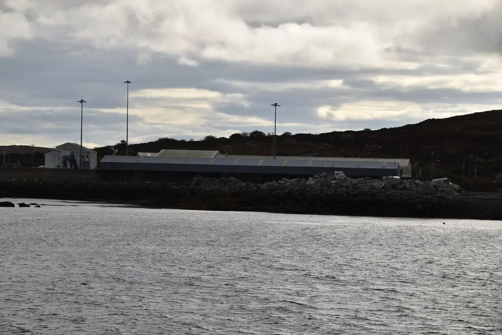
N Chadwick, CC BY-SA 2.0 via Wikimedia Commons

N Chadwick, CC BY-SA 2.0 via Wikimedia Commons

Castles, abbeys, old churches, beaches, viewpoints and parks within 12 km, closest first and 2 holy wells on their own pages.
- Lough ScalpdonnellLakes · 262 m
- Loch na NaomhLakes · 741 m
- Loch an MhuilinnLakes · 877 m
- Loch na Tamhnaí MóireLakes · 1.4 km
- Loch na gCaisleachLakes · 1.4 km
- Teach an tSalainnRuins · 1.4 km
- Loch an Dá EalaLakes · 1.6 km
- Loch na MeannáinLakes · 2.2 km
- Loch na bhFraochóg BeagLakes · 3.3 km
Carraroe in pictures
Photographs of the place and the country around it, each from an open archive and credited to the person who took it.
Emkaer, CC BY-SA 3.0 via Wikimedia Commons
N Chadwick, CC BY-SA 2.0 via Wikimedia Commons
N Chadwick, CC BY-SA 2.0 via Wikimedia Commons
Carraroe1, CC BY-SA 3.0 via Wikimedia Commons

Emkaer, CC BY-SA 3.0 via Wikimedia Commons

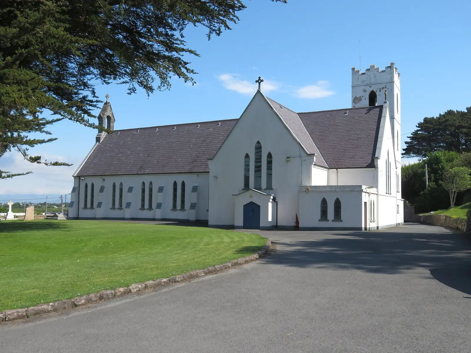
Gordon Hatton, CC BY-SA 2.0 via Wikimedia Commons

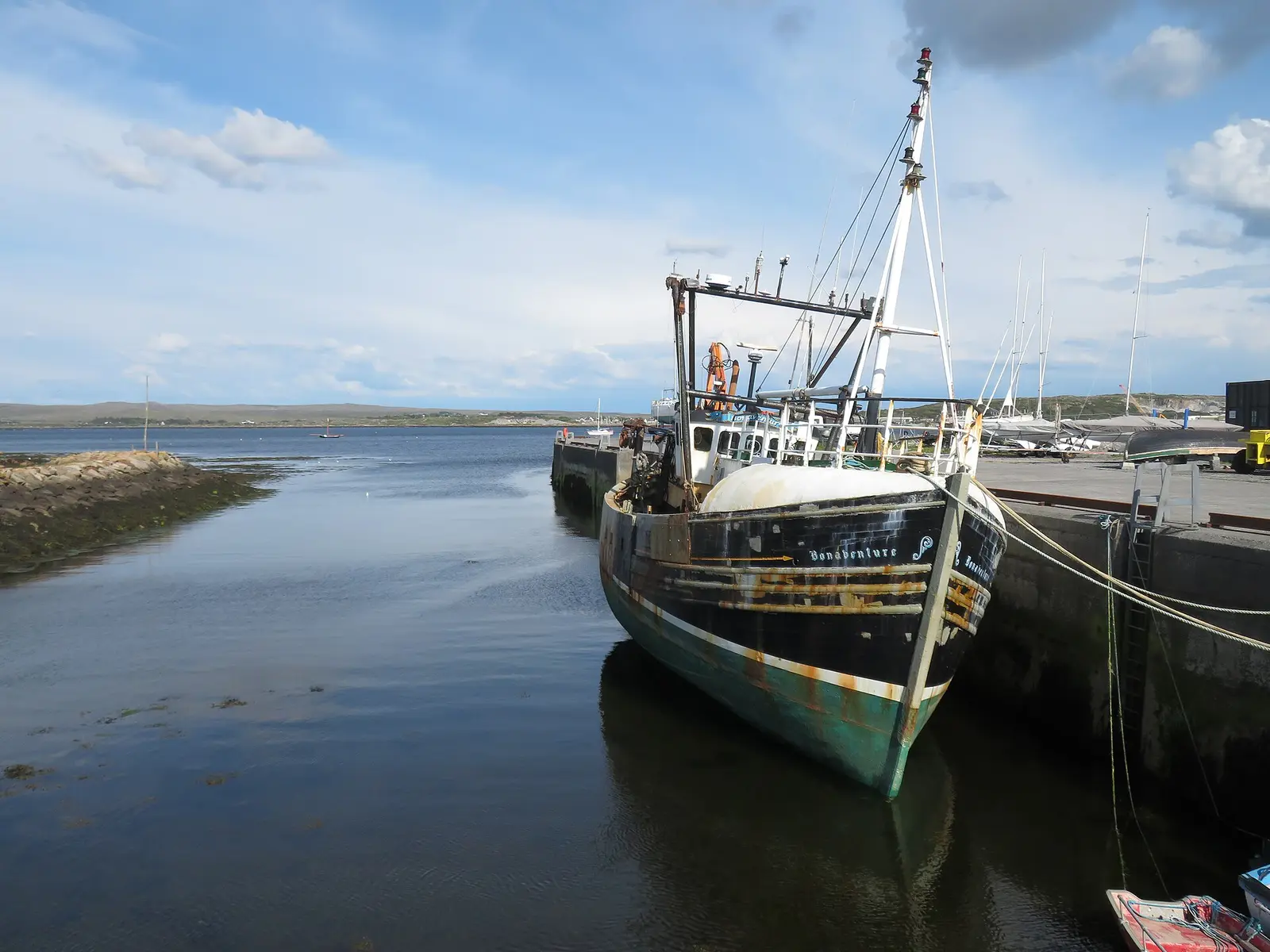
Gordon Hatton, CC BY-SA 2.0 via Wikimedia Commons

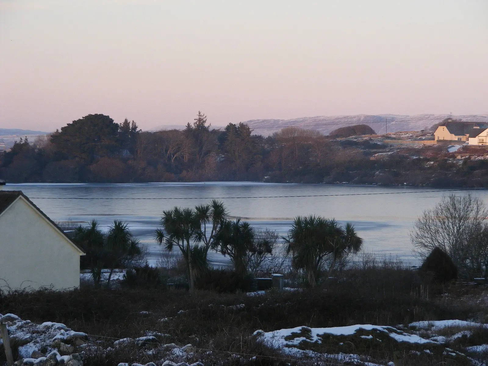
Anthony Mac Donnacha, CC BY-SA 3.0 via Wikimedia Commons

Questions people ask
Where is Carraroe?
What is the population of Carraroe?
How far is Carraroe from Galway?
What is Carraroe known for?
What is the weather like in Carraroe today?
How the model is built
The buildings are OpenStreetMap footprints, read on 2026-09-18, stood up to the height the map records or a plain two storeys where it records none. Streets, water and the base map come from the same project through OpenFreeMap. Places are the named shops, services and public buildings on the map; each has its own page.
A building takes the colour of the kind of place inside it: restaurants in red, pharmacies in green, schools in yellow. Nothing is invented to fill a gap: a missing fact is shown as missing, with a link to add it to the map. More about the model.