About Claddaghduff
Claddaghduff is a village in County Galway, 78 km west of Galway city. The black shore, north-west of Clifden, looking over the strand to Omey Island and St Feichin's granite church, in a landscape that fed Richard Murphy, John McGahern and Walter Macken.
- Where
- 78 km from Galway, 258 km from Dublin
- Position
- 53.5444° N, 10.1417° W
- In Irish
- An Cladach Dubh
- On the model
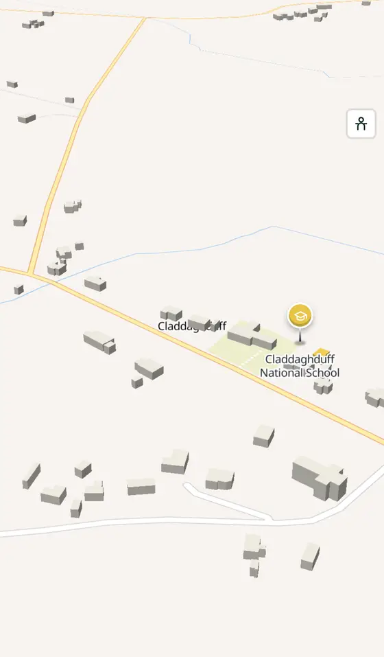
- 446 buildings, 0 streets, 93 places in 15 kinds
- Read more
- Claddaghduff on Wikipedia
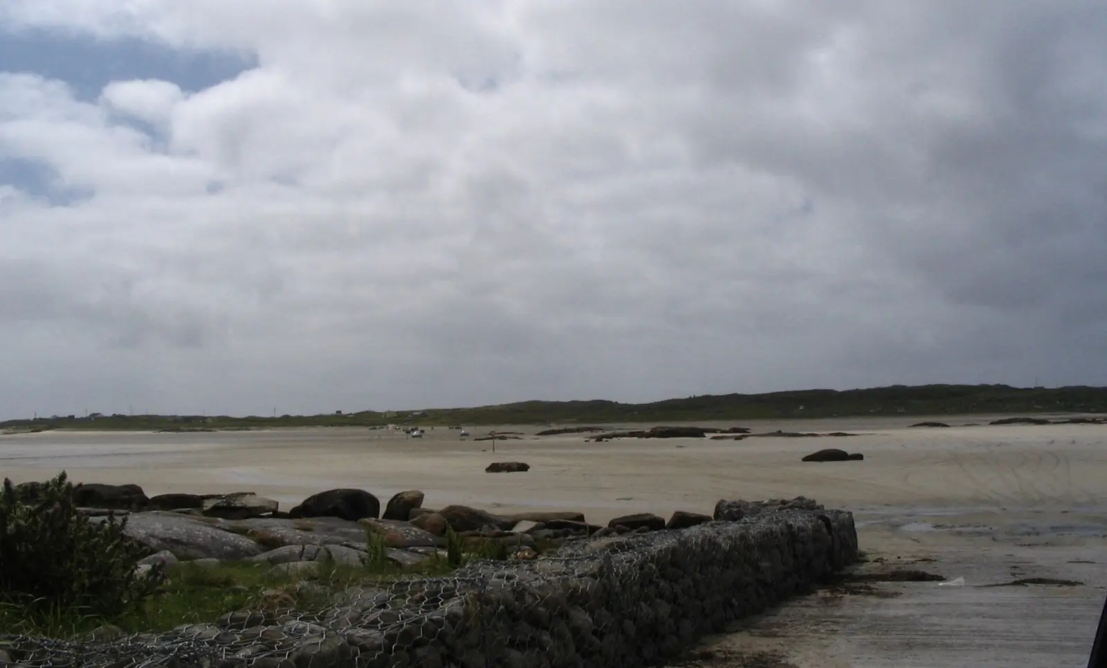
Patrice78500, CC BY-SA 3.0 via Wikimedia Commons

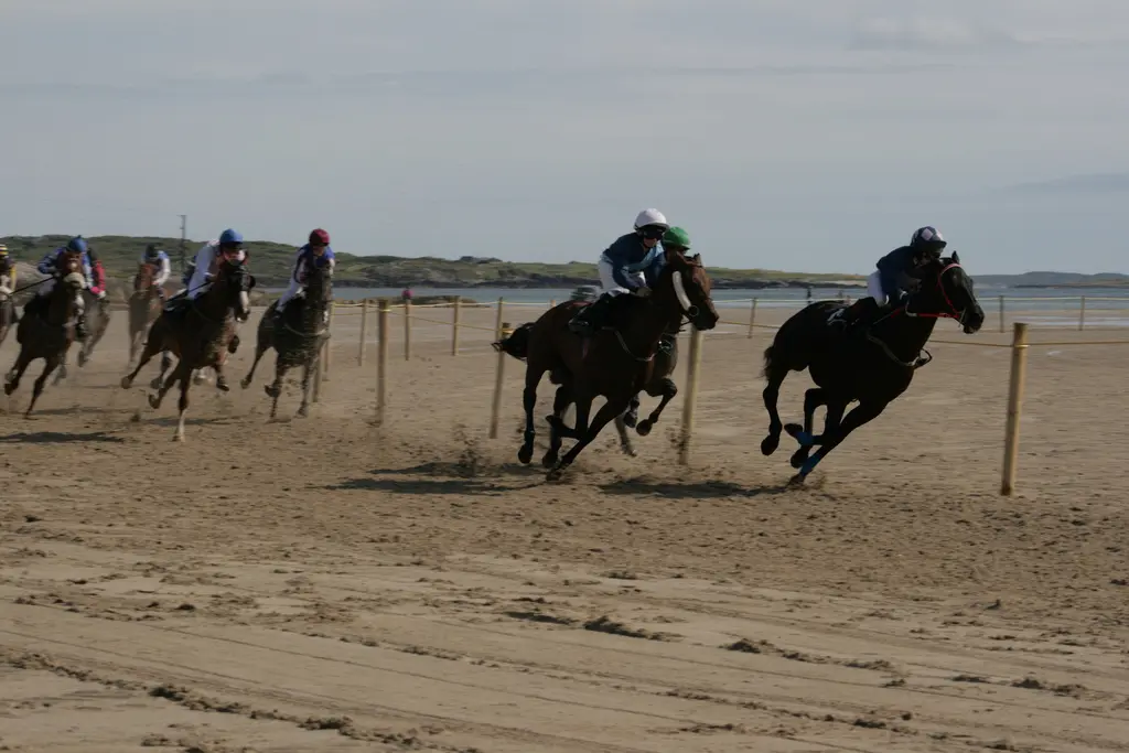
Julian Matz, CC BY 3.0 via Wikimedia Commons

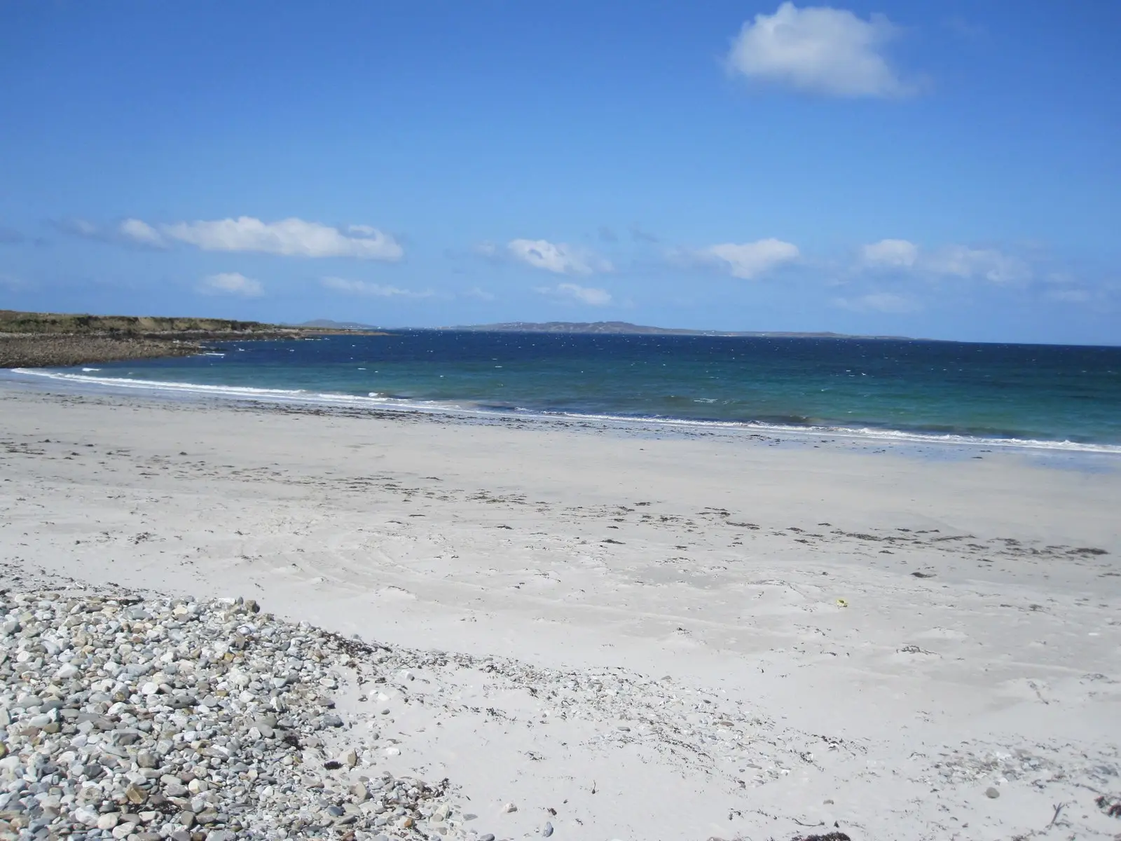
Keith Salvesen, CC BY-SA 2.0 via Wikimedia Commons

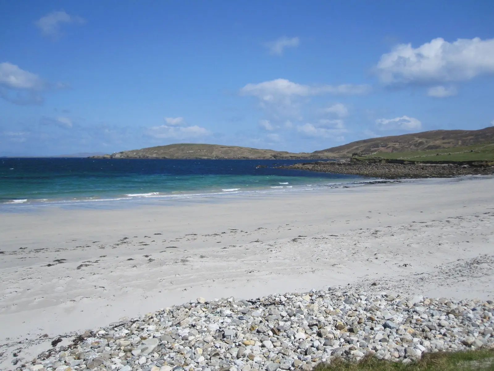
Keith Salvesen, CC BY-SA 2.0 via Wikimedia Commons

A short history
- 5,000 years agoOmey. Human history on the island goes back at least that far; its granite, the Omey pluton, is among the oldest in Connemara, and the medieval Teampall Feichin stands in it.
- 1840sO'Connell's rally. Claddaghduff was the scene of at least one of Daniel O'Connell's monster rallies for emancipation.
- 1847 to 1848The Famine. Large numbers left for America and Boston; the graveyard by the shore at Grallagh was chosen for the children starvation and disease took.
- 20th centuryWriters. Richard Murphy's poetry drew on the lore, land and sea here, John McGahern lived in the village, and much of Walter Macken's scenery comes from his time around it.
What to see
- Teampall Feichin2.0 km
The medieval granite church of St Feichin on Omey, 2 km across the strand.
The ruins 1.9 km out.
For the fishermen lost on 28 October 1927, 2.4 km away.
- Grallagh graveyard
The children's burial ground by the shore.
- Cleggan cliffs4.9 km
The headland 5 km north.
- Sky Road5.7 km
The road above Clifden Bay, 5.7 km south.
Questions people ask
Where is Claddaghduff?
What is there in Claddaghduff?
What is Claddaghduff known for?
Getting around
Claddaghduff sits on the road north-west from Clifden towards Cleggan. 0 bus stops and 0 car parks are on the map.
History, sights and civic facts summarise Wikipedia, "Claddaghduff" (CC BY-SA 4.0, read 2026-09-19). Population is the CSO census as listed there. Distances and everything on the model are OpenStreetMap.