About Clarinbridge
Clarinbridge is a village in County Galway, 12 km south-east of Galway city, with 905 people at the 2022 census. The ford of hurdles at the mouth of the Clarin, once the western end of the Esker Riada and the Slige Mhór, the great road whose other end was Dublin.
- Population
- 905 (2022 census)
- Where
- 12 km from Galway, 175 km from Dublin
- Position
- 53.2277° N, 8.8803° W, 5 m above sea level
- In Irish
- Droichead an Chláirín
- On the model
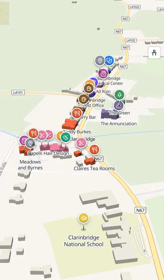
- 507 buildings, 7 streets, 125 places in 36 kinds
- Read more
- Clarinbridge on Wikipedia
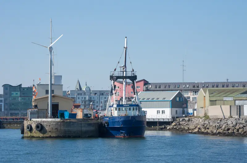
Ian Capper, CC BY-SA 2.0 via Wikimedia Commons

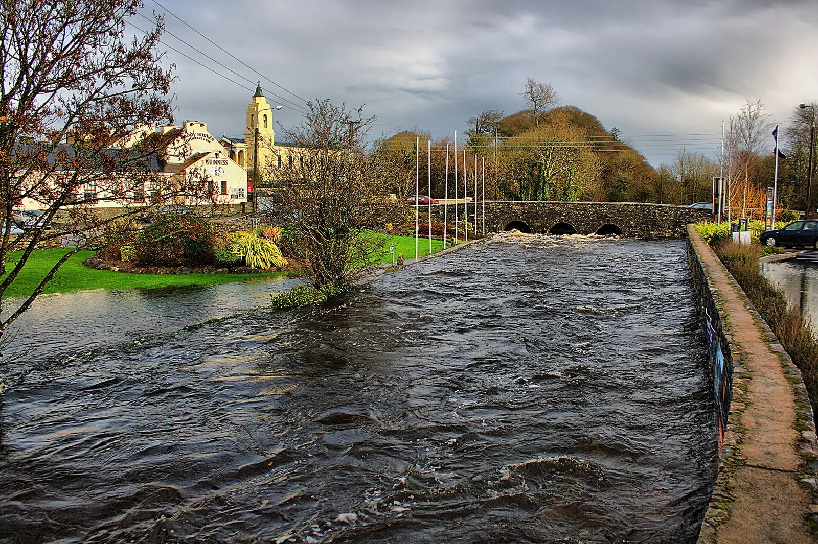
Eoin Gardiner, CC BY 2.0 via Wikimedia Commons

Eoin Gardiner from Clarinbridge, Ireland, CC BY 2.0 via Wikimedia Commons

The Banner, CC BY-SA 4.0 via Wikimedia Commons

A short history
- Medieval IrelandÁth Cliath Meadhraidhe. The ford of hurdles of Maaree, the peninsula west of the village, was the western terminus of the Esker Riada that divided the north of Ireland from the south, and of the Slige Mhór, one of the five great roads; the eastern terminus was Áth Cliath Cualann, Dublin.
- 19th centuryAlexander Young. The Victoria Cross recipient is the village's notable name.
- 2022905 people. The census count for the village at the end of Dunbulcaun Bay, the easternmost arm of Galway Bay.
What to see
- The bridge and the river mouth
Where the Clarin meets Dunbulcaun Bay.
- Maaree
The peninsula running into Galway Bay west of the village.
- The Annunciation114 m
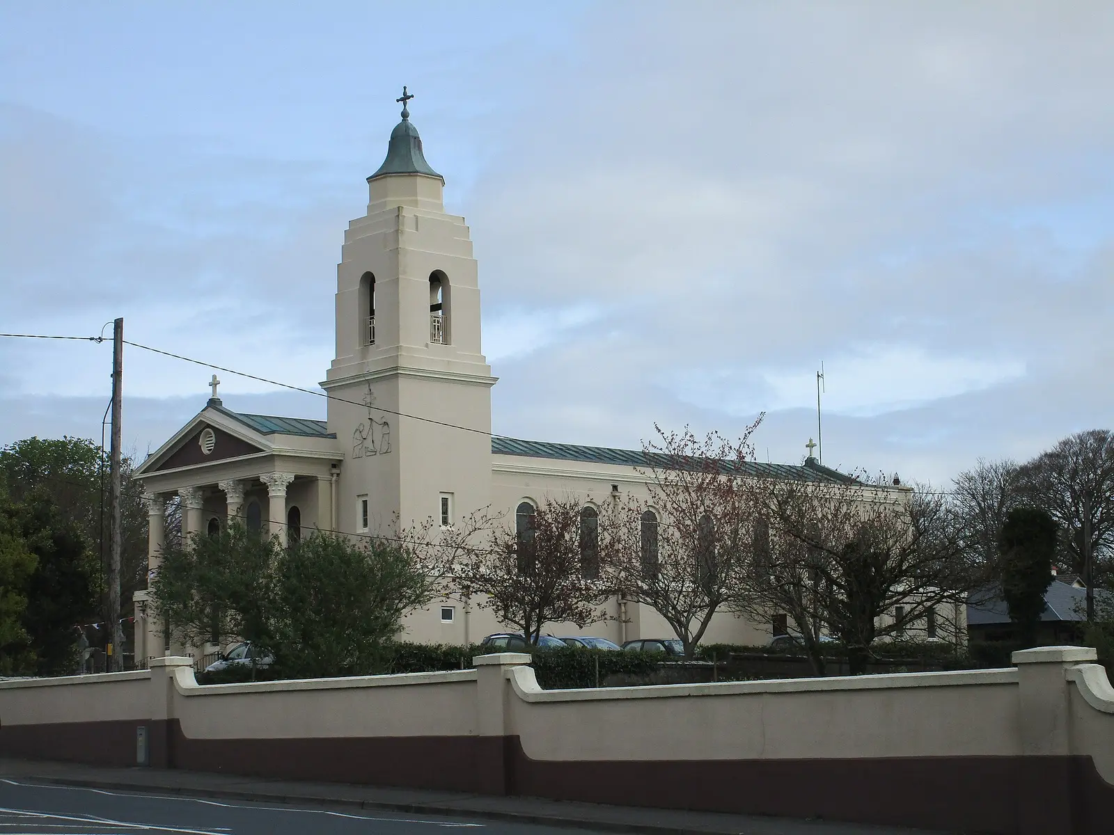
The parish church.
- Tyrone House3.0 km
The ruined mansion by the bay, 3 km away.
- Drumacoo Church3.6 km
St Sourney's site, 3.6 km off.
- Oranmore Castle5.8 km
The tower house 5.8 km north.
Questions people ask
Where is Clarinbridge?
What is the population of Clarinbridge?
What is there in Clarinbridge?
What is Clarinbridge known for?
Getting around
Clarinbridge sits on the N67, 18 km by road from Galway. 0 bus stops and 0 car parks are on the map.
History, sights and civic facts summarise Wikipedia, "Clarinbridge" (CC BY-SA 4.0, read 2026-09-19). Population is the CSO census as listed there. Distances and everything on the model are OpenStreetMap.