About Cleggan
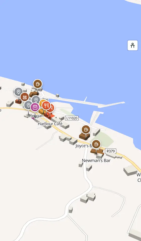
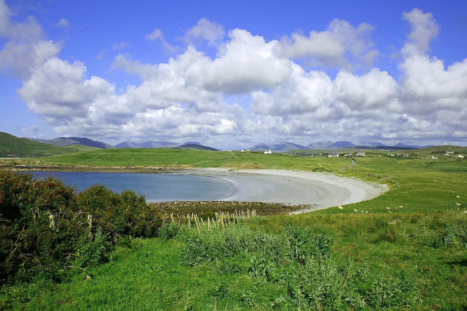
Cleggan is a village in County Galway, 77 km north-west of Galway city. The headland village at the top of its bay, with Nimmo's pier of 1822, the ferry to Inishbofin, and the memory of the night of 28 October 1927, when the mackerel boats did not come home.
- Where
- 77 km from Galway, 256 km from Dublin
- Position
- 53.5565° N, 10.1107° W
- In Irish
- An Cloigeann
- On the model
- 305 buildings, 1 streets, 110 places in 21 kinds
- Read more
- Cleggan on Wikipedia
Ronan Delaney, CC BY-SA 4.0 via Wikimedia Commons

Bert Kaufmann from Roermond, Netherlands, CC BY 2.0 via Wikimedia Commons

Bert Kaufmann from Roermond, Netherlands, CC BY 2.0 via Wikimedia Commons

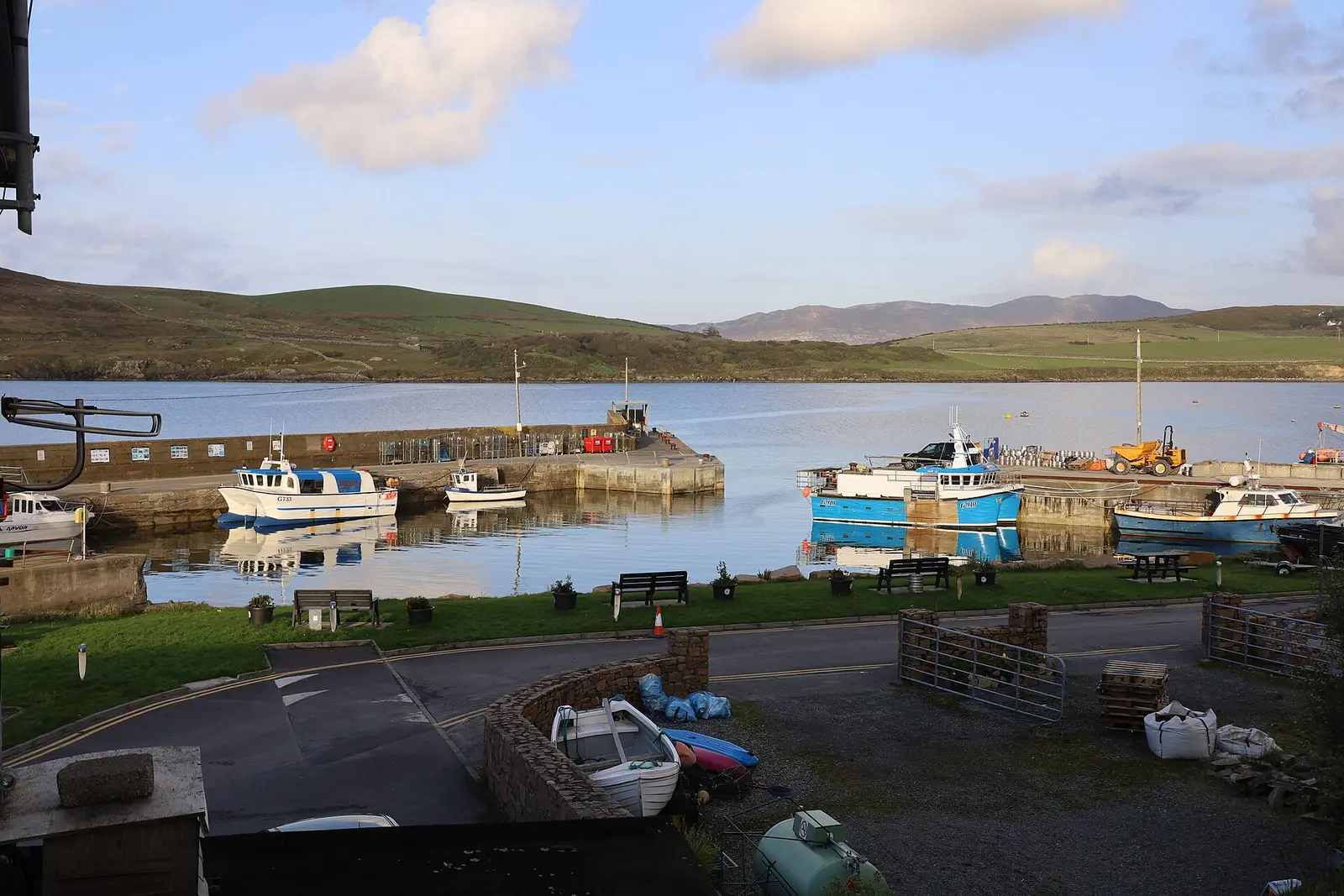
Nomasoft, CC BY-SA 4.0 via Wikimedia Commons

A short history
- LegendSt Ceannanach's head. The saint is said to have been beheaded by a pagan chief, who carried the head to the well at Clooncree, washed it and lay down to die; the name itself means the head, for the headland.
- 665St Colman on Inishbofin. The monastery was founded on the island; a roofless thirteenth-century chapel in the graveyard is thought to mark it.
- 1800sThe watchtower. The ruin on Cleggan Head was built in the Napoleonic wars.
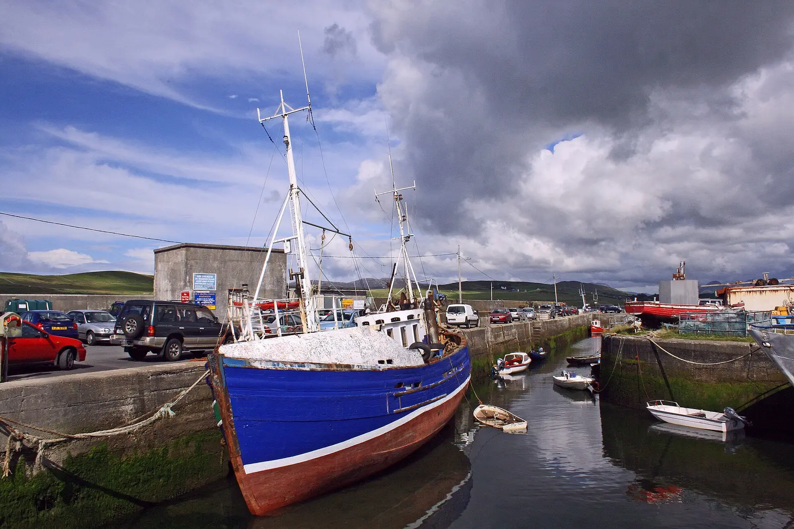
- 1822 and 1908Nimmo's pier. Built by Alexander Nimmo and extended in 1908, it is the focal point of the village.
- 1927The Cleggan Bay disaster. A gale rose without warning while the boats were at the mackerel; 25 local men drowned, sixteen of them from Rossadilisk, which was abandoned.
What to see
- The pier
Nimmo's pier, from which the ferries leave daily for Inishbofin and Inishturk.
The stone by the harbour for the men of 1927.
- The signal tower1.4 km
The Napoleonic watchtower on Cleggan Head, 1.4 km out.
- Cleggan cliffs2.5 km
The headland 2.5 km north.
- Teampall Feichin4.4 km
The granite church on Omey, 4.4 km away.
- The bog and the stones
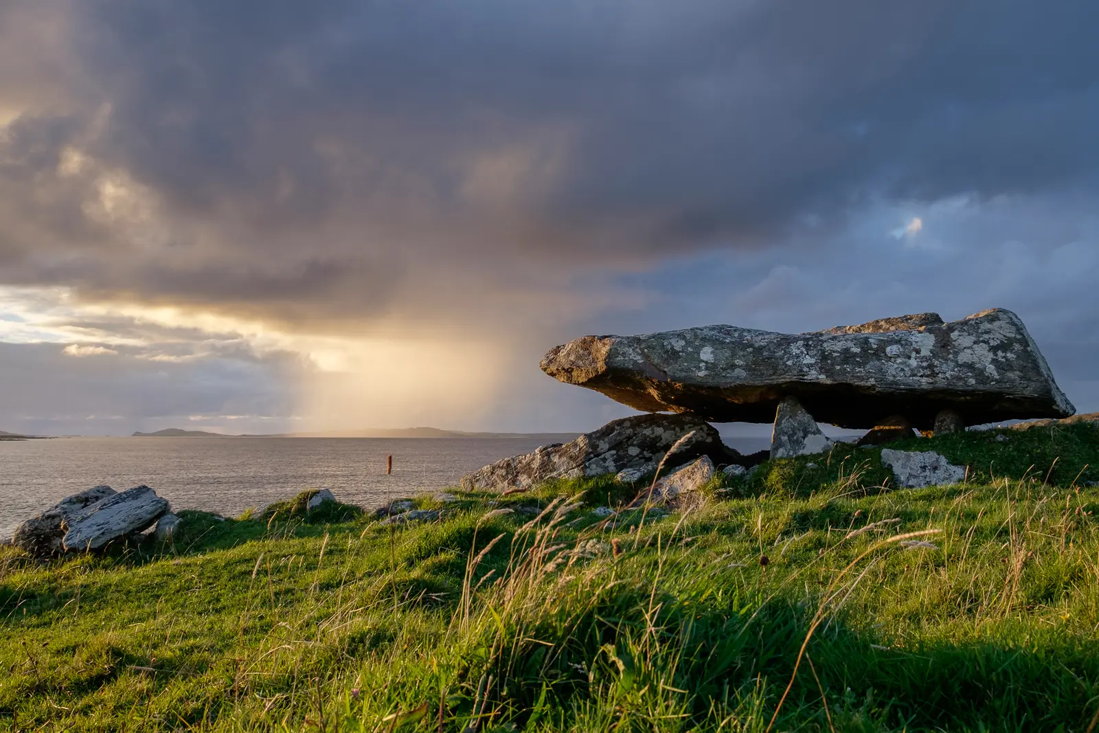
Blanket bog with plants found nowhere outside Ireland, and prehistoric tombs, standing stones and walls nearby.
Questions people ask
Where is Cleggan?
What is there in Cleggan?
What is Cleggan known for?
Getting around
Cleggan sits on the road north-west from Clifden, 10 km. 1 bus stop and 0 car parks are on the map.
History, sights and civic facts summarise Wikipedia, "Cleggan" (CC BY-SA 4.0, read 2026-09-19). Population is the CSO census as listed there. Distances and everything on the model are OpenStreetMap.