Dunmore Abbey
Dunmore Abbey is a historic church on Barrack Street in Dunmore, County Galway, 120 m south-east of the Square. Dunmore RFC, Eurospar and May Flower are within 71 m.
- Street
- Barrack Street
- From the Square
- 120 m south-east
- Read more
- Dunmore Abbey on Wikipedia
- Bus stop
- Stop, 164 m away
The map does not yet record a phone number, a website or opening hours for Dunmore Abbey. Anyone can add them on OpenStreetMap; this page picks the change up at the next refresh.
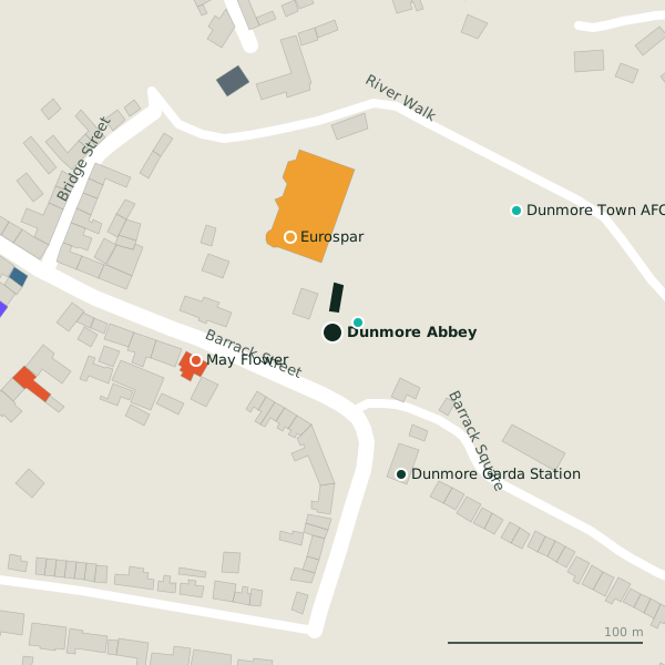
Plan of the surrounding 300 m
Dunmore Abbey in pictures
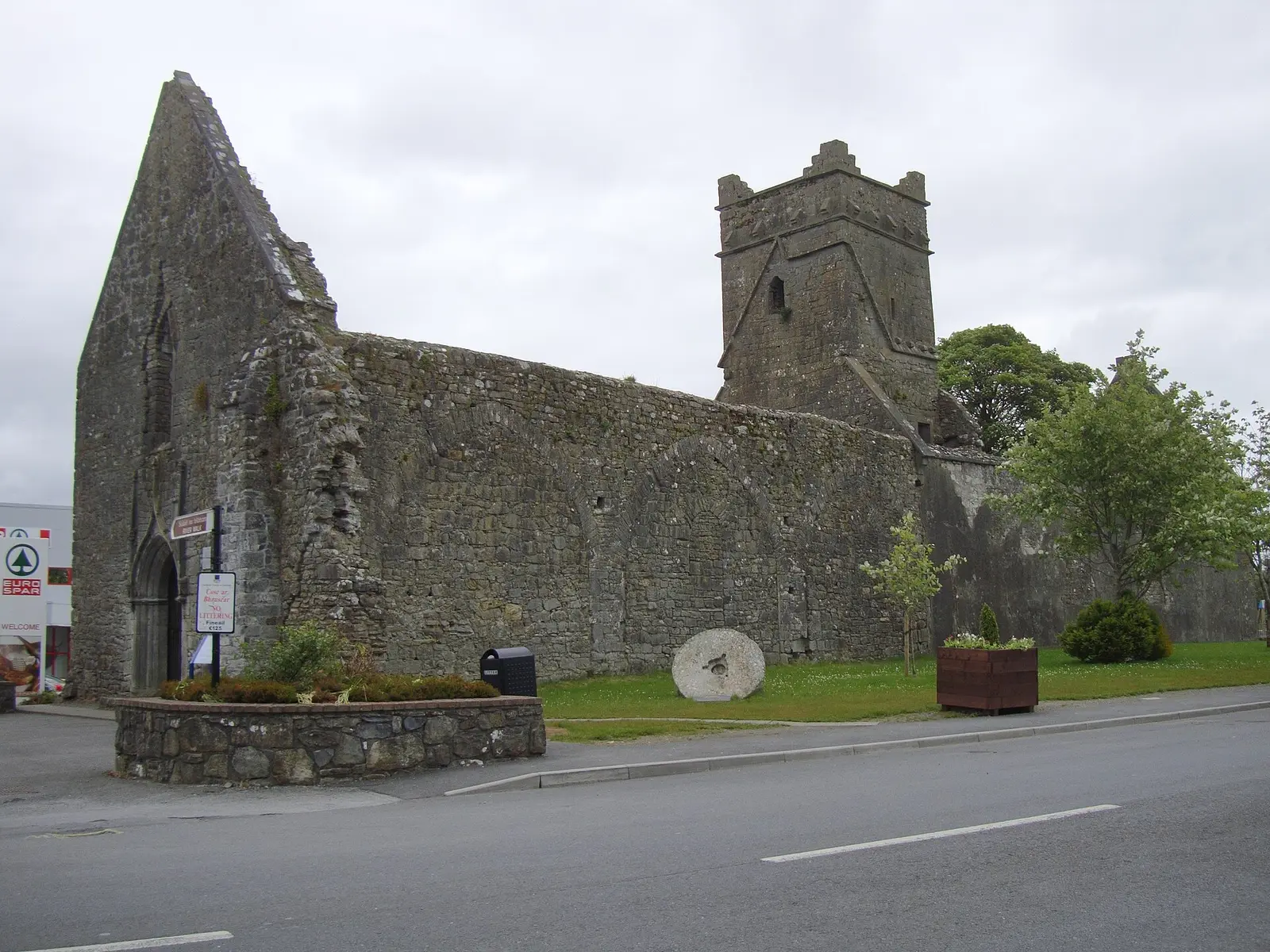
JohnArmagh, CC BY-SA 3.0 via Wikimedia Commons

Getting to Dunmore Abbey
- By bus
- The nearest stop is an unnamed stop, 164 m away.
- Directions from where you are
- Open the model above, tap the pin and choose “Directions here”; the route is drawn from your own position.
While you are there
2 places to eat and drink within 300 m: May Flower (71 m) and Martino's Takeaway (161 m).
2 shops within 300 m, including Eurospar and Hannon's.
Barrack Street itself has 4 named places on the map.
Other sites within 3 km: Dunmore House (376 m), Dunmore Castle (1.1 km), Rathcoll (1.3 km), Knockatoura Fort (1.5 km) and Lisnagranard (2.3 km).
The name
The name begins with dún, the Irish for a stronghold of some importance, not always ring-shaped.
Within a short walk
- Dunmore RFC14 mPitches
- Eurospar53 mSupermarkets
- May Flower71 mTakeaways
- Dunmore Garda Station80 mGarda station
- Dunmore Town AFC113 mPitches
- Applegreen138 mPetrol stations
- Martino's Takeaway161 mTakeaways
- John Roche162 mEstate agents
Also on Barrack Street
- Dunmore Garda StationGarda station
- EurosparSupermarkets
- May FlowerTakeaways
Other historic churches around Dunmore
- 5.6 km
- 6.4 km
- 8.9 km
- 9.0 km
- 10.8 km
- 11.8 km
Questions people ask
Where is Dunmore Abbey?
Are there other historic churches nearby?
Source record: OpenStreetMap way/771726218, read on 2026-09-18. The street is the mapped address where there is one, otherwise the nearest named road. Distances are straight lines.