About Eyrecourt
Eyrecourt is a village in County Galway, 62 km east of Galway city, with 254 people at the 2022 census. The Eyres' village, once Donanaghta, with the castle gate at the end of the street and a hundred acres of lawn beyond, in a parish that holds Clonfert Cathedral and the oldest church in Ireland still in use.
- Population
- 254 (2022 census)
- Where
- 62 km from Galway, 126 km from Dublin
- Position
- 53.2001° N, 8.1318° W, 55 m above sea level
- In Irish
- Dún an Uchta
- On the model
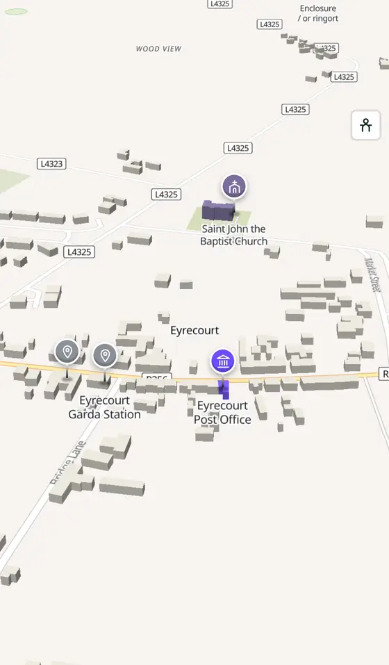
- 498 buildings, 8 streets, 71 places in 17 kinds
- Read more
- Eyrecourt on Wikipedia
A short history
- 1414Meelick. The church at Meelick, in the parish, has been in continuous use since then, the oldest Catholic church in Ireland.
- 1650sThe Eyres. The English family came with Cromwell; Eyre Square in Galway carries their name too.
- 1867St John the Baptist. The Anglo-Gothic Church of Ireland church was built; the Catholic St Brendan's has windows by John Early of Dublin.
- Every second JuneOld machinery. The Eyrecourt Vintage Festival shows tractors, steam engines and early farm machines; an agricultural show follows each September.
What to see
- Eyrecourt Castle695 m
The ruin and its gateway, 700 m from the street.
- Dún an Uchta2.1 km
The fort that gave the village its old name, 2 km out.
- Clonfert6.8 km
St Brendan the Navigator's grave, the cathedral with its famous doorway and the fourteenth-century statue of Our Lady, in the parish.
- Meelick
The church of 1414 by the Shannon.
- Derryhiveny Castle9.1 km
The tower house 9 km south.
- Clontuskert Abbey10.8 km
The priory 10.8 km north.
Questions people ask
Where is Eyrecourt?
What is the population of Eyrecourt?
What is there in Eyrecourt?
What is Eyrecourt known for?
Getting around
Eyrecourt sits on the R356, 12 km west of the Banagher bridge; about an hour from Galway by car. 0 bus stops and 0 car parks are on the map.
History, sights and civic facts summarise Wikipedia, "Eyrecourt" (CC BY-SA 4.0, read 2026-09-19). Population is the CSO census as listed there. Distances and everything on the model are OpenStreetMap.