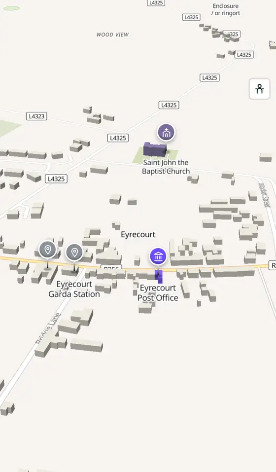
Eyrecourt, street by street
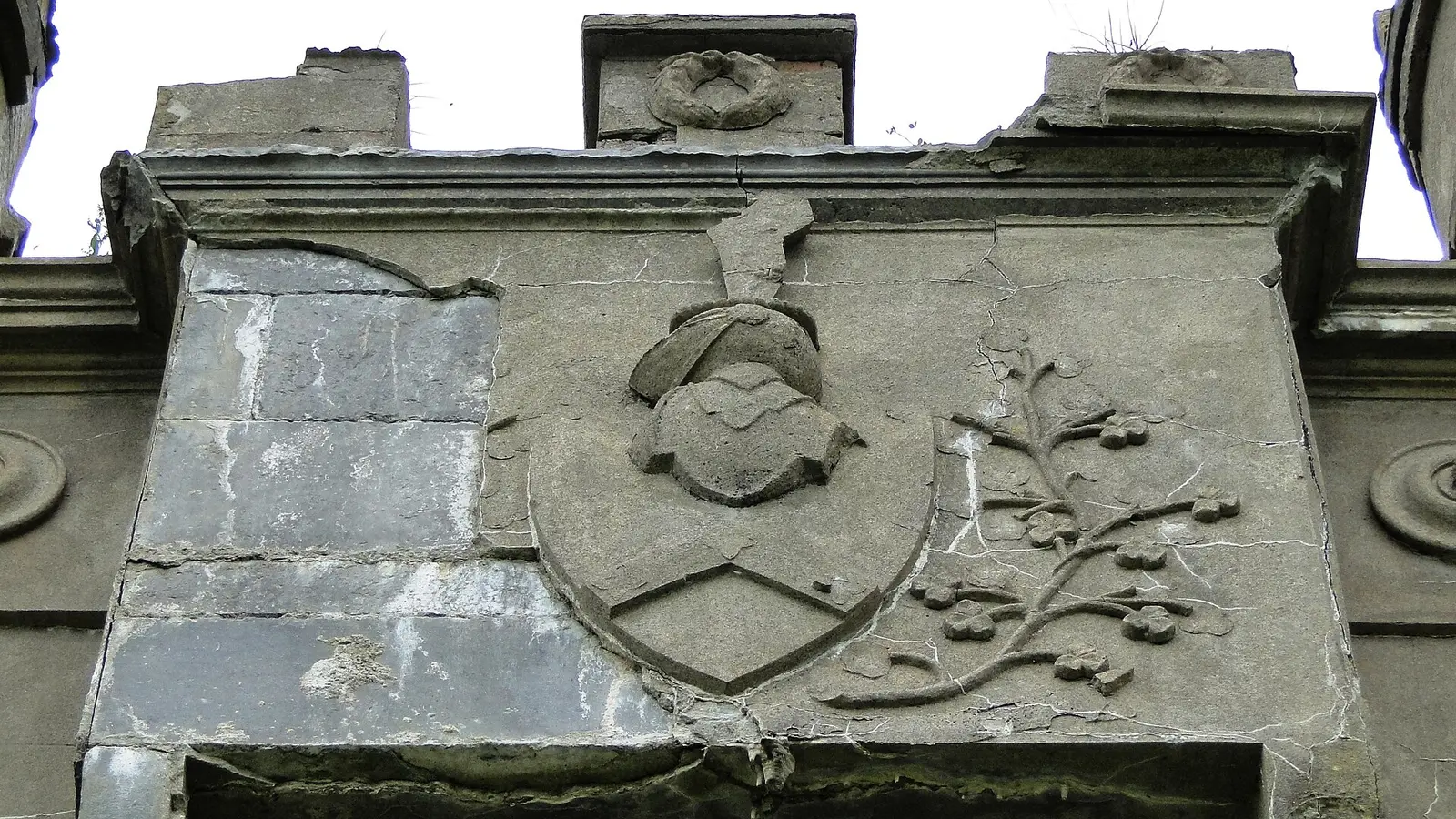
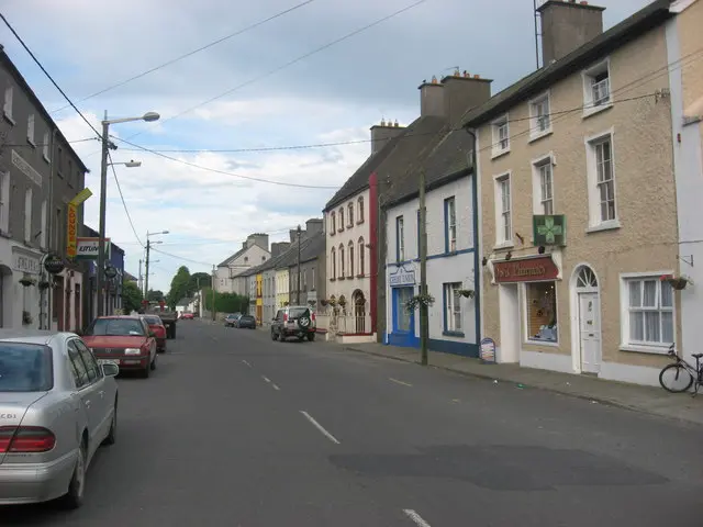
The Eyres' village, once Donanaghta, with the castle gate at the end of the street and a hundred acres of lawn beyond, in a parish that holds Clonfert Cathedral and the oldest church in Ireland still in use.
Eyrecourt is a village of 254 people, 62 km east of Galway city. This page is a working model of it: every one of its 498 buildings stands on the map above, and 71 shops, cafés, schools, churches and services have a page each, with the street, the hours where recorded, the nearest bus stop and car park, and a plan of the streets around it. Everything comes from open map data and says so.
Live forecast for the centre, hour by hour and the week ahead.
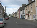
62 km from Galway, 77 km from Shannon Airport, 0 bus stops, 0 car parks.
The castle gate, Dún an Uchta, Clonfert, Meelick, Derryhiveny, Clontuskert.
Meelick's church of 1414, the Eyres, the church of 1867, the festivals.
Population 254 at the 2022 census, where it is, what is here.
What is in Eyrecourt
1 restaurants, 1 schools, 1 banks, 4 churches and 2 parks and views and more, by kind. Each kind has a page listing every one, closest to Main Street first.
Guides to Eyrecourt
All 3 guides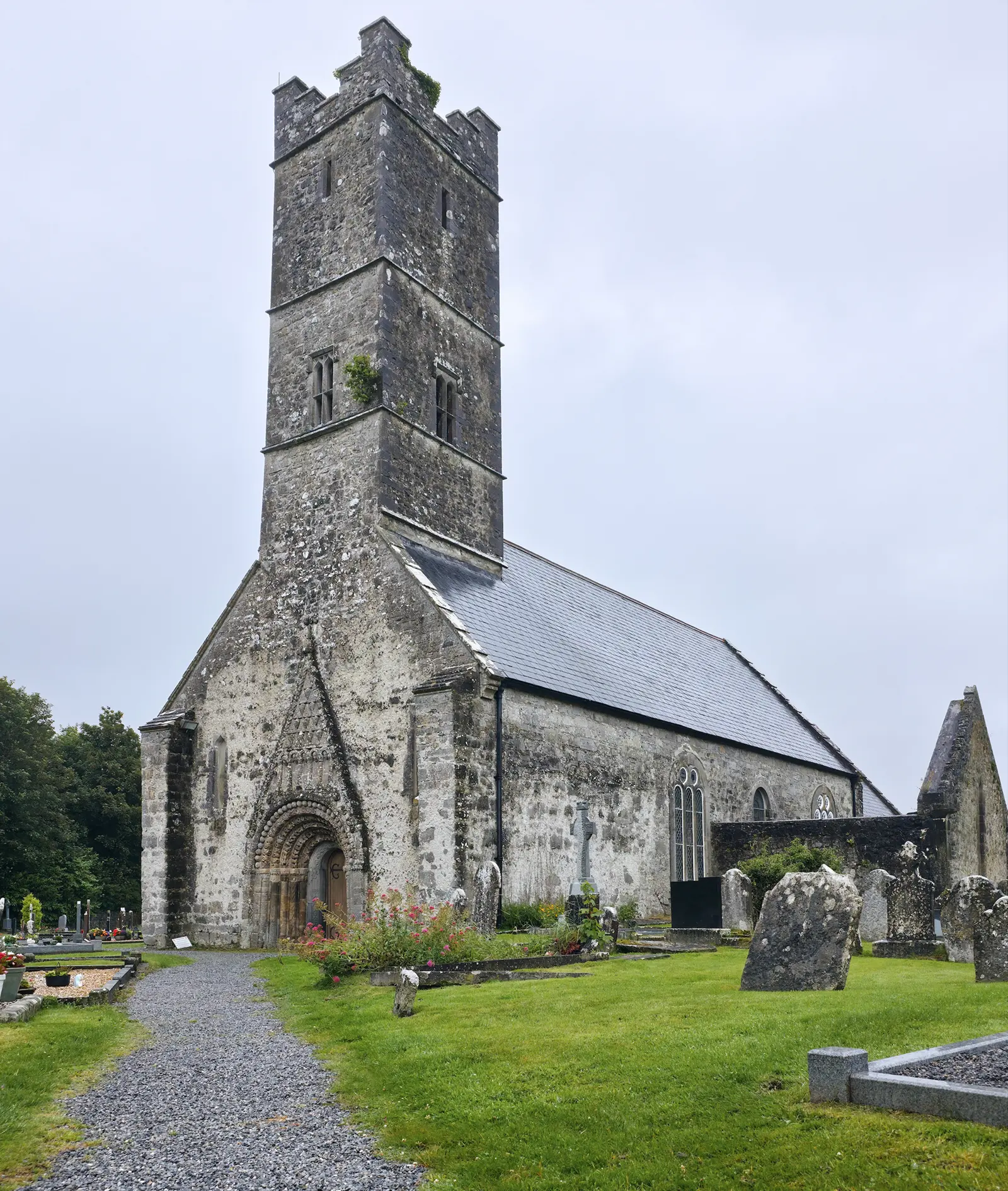
Clonfert Cathedral, on the site of the monastery St Brendan founded in 563 and where he was buried, is the small 12th-century church…
Meelick, Míleac, on the Shannon 4 km south-east of Eyrecourt, has by local account the oldest Catholic church in continuous use in…
Brendan of Clonfert, born in Tralee about 484 and died about 577, one of the Twelve Apostles of Ireland, is patron of the dioceses of…
Where to eat in Eyrecourt
1 café, restaurant, takeaway or pub on the map, 1 of them within 300 m of Main Street. 0 have hours on record.
- Eyrecourt Chip ShopTakeaways · Main Street
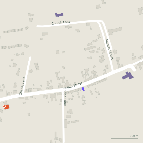
Every place to eat and drink as a pin; tap one for its page and directions.
Street by street
All 8 streets- Main Street5 placesregional road R356 · 545 m
- Bridge Lane1 placeminor road · 190 m
Things to see around Eyrecourt
Castles, abbeys, old churches, beaches, viewpoints and parks within 12 km, closest first, plus 30 ringforts and ancient sites and 4 holy wells on their own pages.
- Eyrecourt CastleCastles · 695 m
- Enclosure / or ringortMonuments · 1.1 km
- Dún an OchtaRuins · 2.1 km
- Friars HouseRuins · 4.3 km
- Brackloon CastleCastles · 4.5 km
- BatteriesRuins · 4.5 km
- dermot and grainnes bedMonuments · 4.6 km
- Keeloge BatteriesRuins · 4.7 km
- Longford Castle (ruins)Castles · 5.8 km
Questions people ask
Where is Eyrecourt?
What is the population of Eyrecourt?
How far is Eyrecourt from Galway?
What is Eyrecourt known for?
What is the weather like in Eyrecourt today?
How the model is built
The buildings are OpenStreetMap footprints, read on 2026-09-18, stood up to the height the map records or a plain two storeys where it records none. Streets, water and the base map come from the same project through OpenFreeMap. Places are the named shops, services and public buildings on the map; each has its own page.
A building takes the colour of the kind of place inside it: restaurants in red, pharmacies in green, schools in yellow. Nothing is invented to fill a gap: a missing fact is shown as missing, with a link to add it to the map. More about the model.