About Furbo
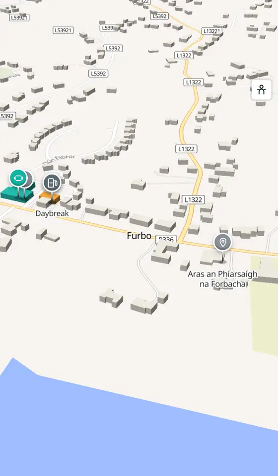
Furbo is a town in County Galway, 11 km west of Galway city, with 868 people at the 2022 census. Fourteen townlands running from the bog to the shore between Barna and Spiddal, with no village centre at all, and the headquarters of Údarás na Gaeltachta.
- Population
- 868 (2022 census)
- Where
- 11 km from Galway, 196 km from Dublin
- Position
- 53.2489° N, 9.2079° W, 15 m above sea level
- In Irish
- Na Forbacha
- On the model
- 1,115 buildings, 13 streets, 175 places in 32 kinds
- Read more
- Furbo on Wikipedia
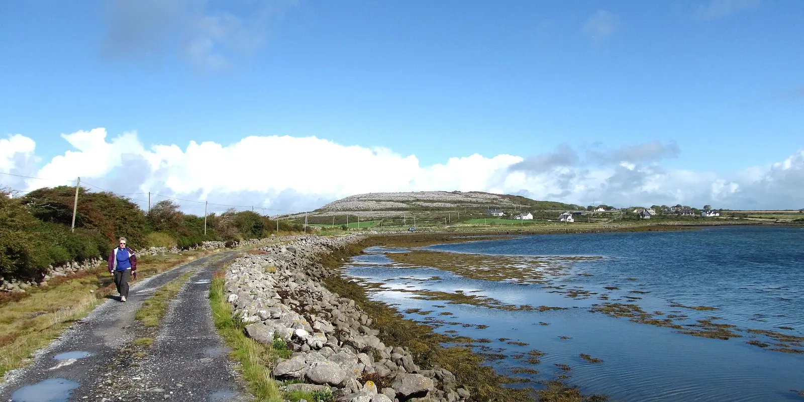
Gordon Hatton, CC BY-SA 2.0 via Wikimedia Commons

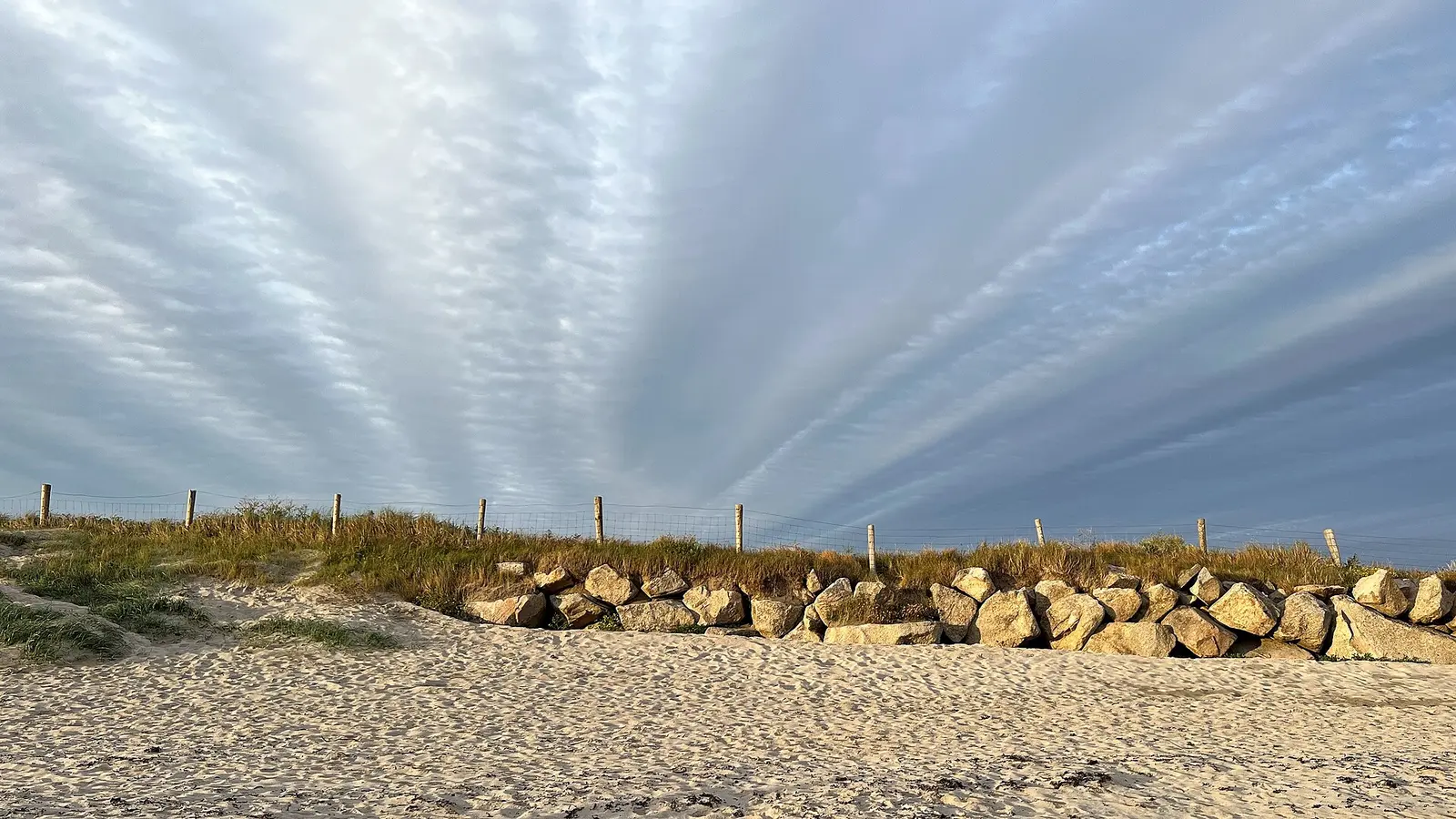
Ian Hawfinch, CC BY-SA 2.0 via Wikimedia Commons

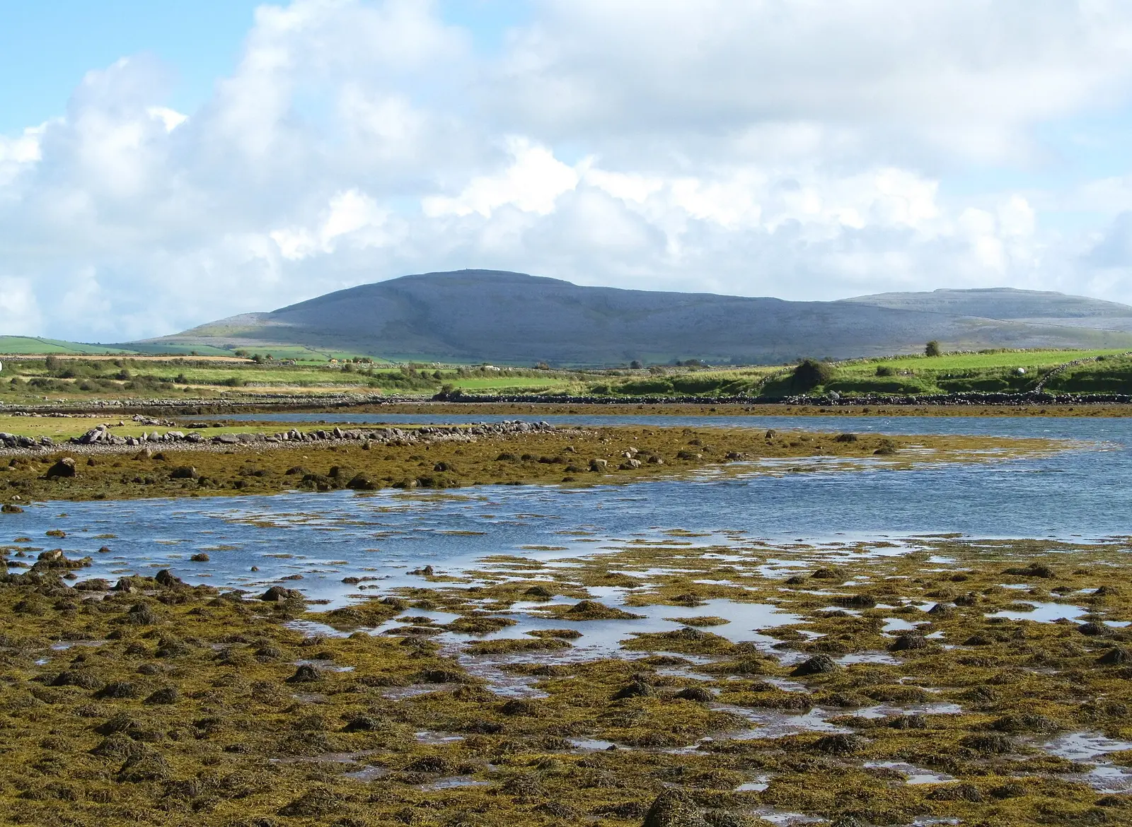
Gordon Hatton, CC BY-SA 2.0 via Wikimedia Commons

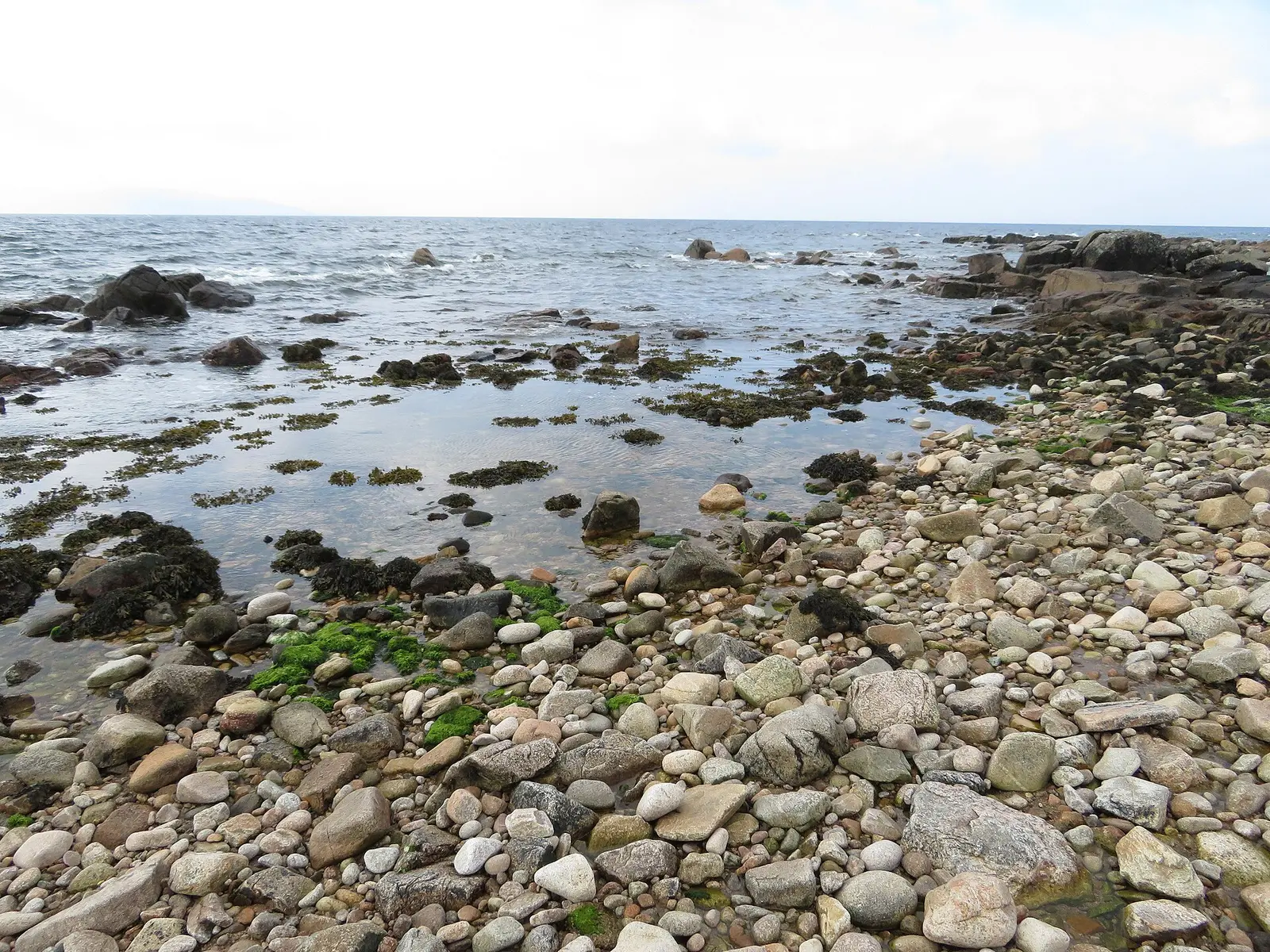
Gareth James, CC BY-SA 2.0 via Wikimedia Commons

A short history
- About 1860The mausoleum. The mausoleum beside Our Lady Star of the Sea, Séipéal Mhuire Réalt na Mara, dates from around 1860; the church belongs to the parish of Bearna and na Forbacha.
- 20th centuryThe Gaeltacht Authority. Údarás na Gaeltachta has its headquarters in Na Forbacha, and new housing must reserve more than 80 per cent of its units for Irish speakers.
- 2022 and 2023868 people. The census counted 868 people, 39 per cent of them speaking Irish daily, and the national school had over 200 pupils in 2023, taught in Irish.
What to see
- Réalt na Mara417 m
Our Lady Star of the Sea, the Catholic church, with the mausoleum of about 1860 beside it.
- Trá na bhForbacha
The beach on Galway Bay below the townlands.
- An Fearbán323 m
The monument 300 m from the church.
- The hen harrier reserve3.0 km
The moorland reserve 3 km inland.
- Cnoc Suain5.8 km
The restored hill village 6 km away in the bog.
Questions people ask
Where is Furbo?
What is the population of Furbo?
What is there in Furbo?
What is Furbo known for?
Getting around
Furbo sits on the R336 coast road between Barna and Spiddal. 1 bus stop and 0 car parks are on the map.
History, sights and civic facts summarise Wikipedia, "Furbo, County Galway" (CC BY-SA 4.0, read 2026-09-19). Population is the CSO census as listed there. Distances and everything on the model are OpenStreetMap.