Monuments · Galway
Famine Ship Memorial
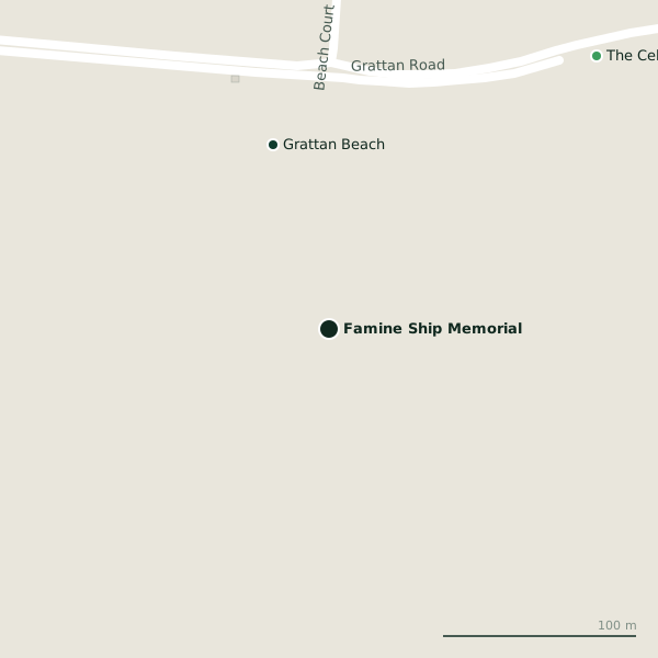
Famine Ship Memorial is a monument in the town in Galway, County Galway, 1.7 km south-west of Eyre Square. Grattan Beach and The Celia Griffin Children’s Park are within 198 m.
- Kind
- Monuments
- From Eyre Square
- 1.7 km south-west
- Read more
- Famine Ship Memorial on Wikipedia
- Wheelchair
- Accessible
- Parking
- Claude Toft Car Park on Seapoint Promenade, 616 m away
- Bus stop
- Salthill Road Lower (Bus Éireann), 576 m away
The map does not yet record a phone number, a website or opening hours for Famine Ship Memorial. Anyone can add them on OpenStreetMap; this page picks the change up at the next refresh.
Getting to Famine Ship Memorial
- By car
- Park at Claude Toft Car Park on Seapoint Promenade, 616 m away, free, 139 spaces.
- By bus
- The nearest stop is Salthill Road Lower, served by Bus Éireann, 576 m away.
- Directions from where you are
- Open the model above, tap the pin and choose “Directions here”; the route is drawn from your own position.
While you are there
Other sites within 3 km: The Celia Griffin Children’s Park (198 m), Claude Toft Park (496 m), Claude Toft Park Playground (560 m), South Park (599 m) and Katie's Claddagh Cottage (677 m).
Within a short walk
- Grattan Beach100 mBeaches
- 198 m
Other monuments around Galway
- Walter Macken House960 mSmall Crane
- Fr Burke Statue976 mFather Griffin Road
- Christopher Columbus Monument1.1 kmWolf Tone Pedestrian Bridge II
- Blake's Castle1.2 kmQuay Street
- Martin Theatre1.2 kmKirwan's Lane
- Hall of the Red Earl1.2 kmDruid Lane
- Richard Martin M.P. 1754-18341.3 kmQuay Street
- Pat Bracken 1951-20101.3 kmQuay Street
Questions people ask
Where is Famine Ship Memorial?
In Galway, County Galway, 1.7 km south-west of Eyre Square; the nearest car park is 616 m away.
Are there other monuments nearby?
23 other monuments around $Galway; the closest is Walter Macken House, 960 m away.
Source record: OpenStreetMap node/1314978177, read on 2026-09-18. The street is the mapped address where there is one, otherwise the nearest named road. Distances are straight lines.