Galway Fire Station
Galway Fire Station is a fire station on Father Griffin Road in Galway, County Galway, 798 m south-west of Eyre Square. Rent the Runway, Saint Mary's Priory and Fr Burke Statue are within 86 m.
- Kind
- Fire station
- Street
- Father Griffin Road
- From Eyre Square
- 798 m south-west
- Run by
- Galway Fire Service
- Parking
- Claddagh Church on Claddagh Quay, 52 m away
- Bus stop
- Fr Griffin Road (Bus Éireann), 125 m away
The map does not yet record a phone number, a website or opening hours for Galway Fire Station. Anyone can add them on OpenStreetMap; this page picks the change up at the next refresh.
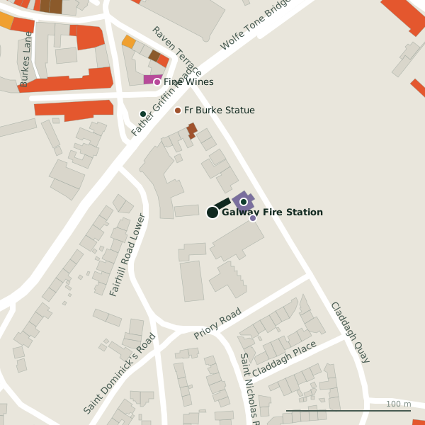
Plan of the surrounding 300 m
Galway Fire Station in pictures
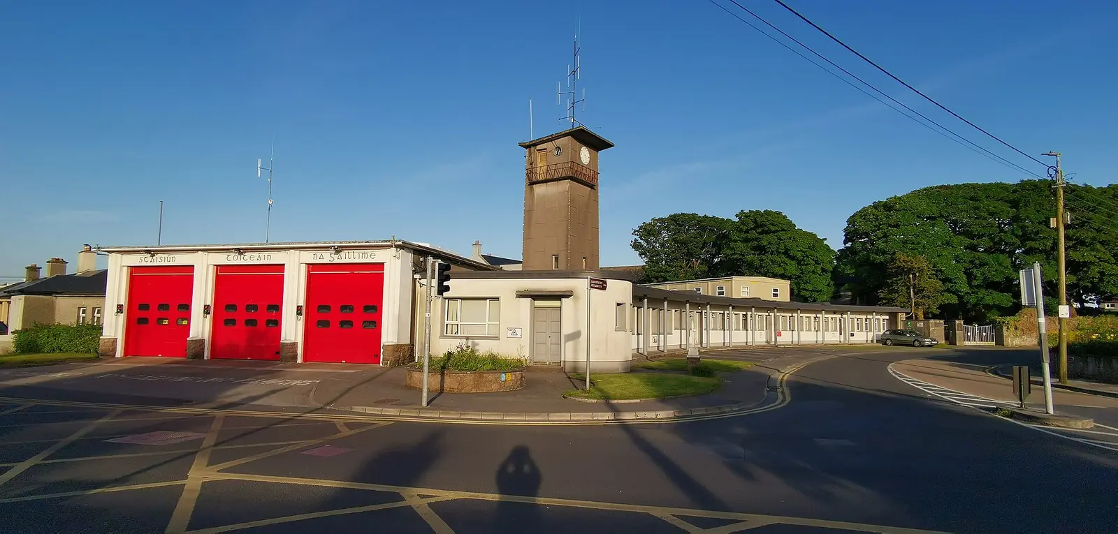
Z thomas, CC BY-SA 4.0 via Wikimedia Commons

Getting to Galway Fire Station
- By car
- Park at Claddagh Church on Claddagh Quay, 52 m away, paid.
- By bus
- The nearest stop is Fr Griffin Road, served by Bus Éireann, 125 m away, with a shelter.
- Directions from where you are
- Open the model above, tap the pin and choose “Directions here”; the route is drawn from your own position.
While you are there
53 places to eat and drink within 300 m: Kashmir (120 m), Gourmet Tart Co. (128 m), Spiced India (132 m) and The Salt House (134 m) and more.
13 shops within 300 m, including Fine Wines, Centra and No. 26.
Father Griffin Road itself has 18 named places on the map.
Within a short walk
- Rent the Runway26 mCompanies
- Saint Mary's Priory32 mChurches
- Fr Burke Statue86 mMonuments
- Claddagh Basin96 mBike hire
- Fine Wines113 mOff licences
- Kashmir120 mRestaurants
- Gourmet Tart Co.127 mCafés
- Spiced India132 mRestaurants
Also on Father Griffin Road
- Anton'sCafés
- Claddagh BasinBike hire
- Claddagh PharmacyPharmacies
- Dr Kieran Whyte G.P.Doctors
- EuronetCash machines
- Father Burke ParkParks
- Father Griffin Road Post OfficePost office
- Fr Burke StatueMonuments
Everything on Father Griffin Road (18 places)
Questions people ask
Where is Galway Fire Station?
Source record: OpenStreetMap way/976741321, read on 2026-09-18. The street is the mapped address where there is one, otherwise the nearest named road. Distances are straight lines.