Padraic O'Conaire Statue
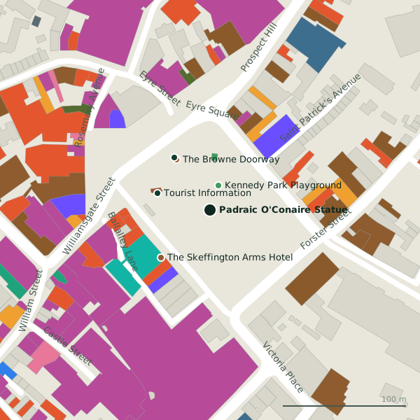
Padraic O'Conaire Statue is a monument in the town in Galway, County Galway, on Eyre Square. Kennedy Park Playground, Tourist Information and The Browne Doorway are within 49 m.
- Kind
- Monuments
- From Eyre Square
- On Eyre Square
- Parking
- Eyre Square Centre Car Park on Whitehall, 185 m away
- Bus stop
- Eyre Square (Bus Éireann), 46 m away
The map does not yet record a phone number, a website or opening hours for Padraic O'Conaire Statue. Anyone can add them on OpenStreetMap; this page picks the change up at the next refresh.
Padraic O'Conaire Statue in pictures
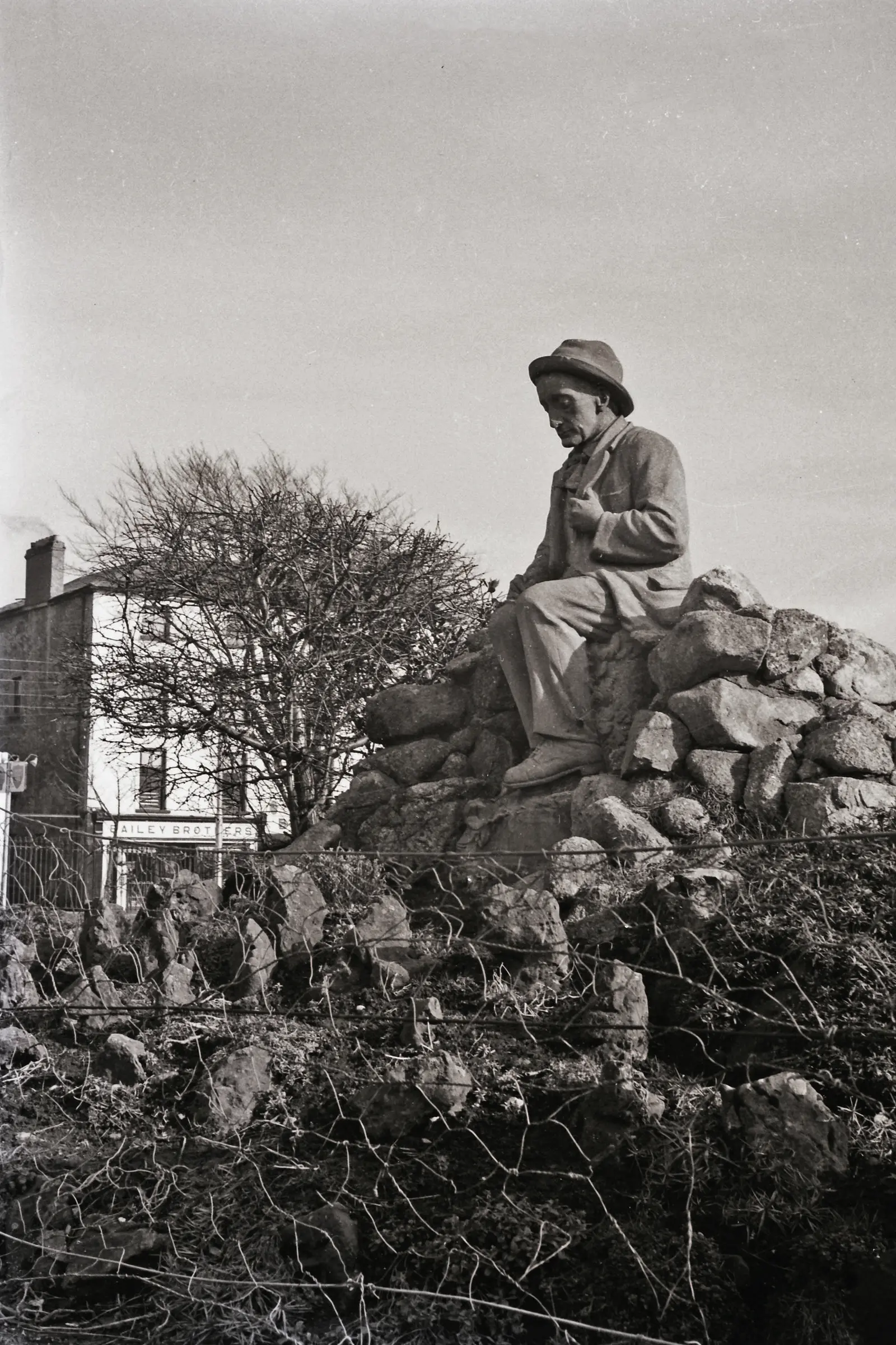
Donal Mac Coitir, CC BY 4.0 via Wikimedia Commons

Getting to Padraic O'Conaire Statue
- By car
- Park at Eyre Square Centre Car Park on Whitehall, 185 m away, paid, 450 spaces.
- By bus
- The nearest stop is Eyre Square, served by Bus Éireann, 46 m away, with a shelter.
- Directions from where you are
- Open the model above, tap the pin and choose “Directions here”; the route is drawn from your own position.
While you are there
104 places to eat and drink within 300 m: Gatto Rosso (56 m), The Skeff (56 m), Caffè Nero (60 m) and Sprout (65 m) and more.
116 shops within 300 m, including Pick 'N' Pay, Fonez 4u and Londis.
Other sites within 3 km: Kennedy Park Playground (21 m), The Browne Doorway (49 m), Eyre Square (67 m), City Walls (147 m) and Lynch's Castle (236 m).
Within a short walk
- Kennedy Park Playground21 mPlaygrounds
- Tourist Information44 mKiosk
- The Browne Doorway49 mMonuments
- Browne Doorway51 mVisitor information
- 55 m
- Gatto Rosso56 mRestaurants
- The Skeff56 mPubs
- 58 m
Other monuments around Galway
- The Browne Doorway49 mEyre Square
- Lynch's Castle236 mAbbeygate Street Upper
- Magdalene Laundry236 mForster Street
- Mechanics Institute263 mMiddle Street
- Seán Duggan264 mForster Street
- Lynch Memorial Window342 mMarket Street
- Pat Bracken 1951-2010448 mQuay Street
- Richard Martin M.P. 1754-1834454 mQuay Street
Questions people ask
Where is Padraic O'Conaire Statue?
Are there other monuments nearby?
Source record: OpenStreetMap node/7093343069, read on 2026-09-18. The street is the mapped address where there is one, otherwise the nearest named road. Distances are straight lines.