Stafort House
Stafort House is a ruin in the town in Galway, County Galway, 7.2 km south-east of Eyre Square.
- Kind
- Ruins
- From Eyre Square
- 7.2 km south-east
The map does not yet record a phone number, a website or opening hours for Stafort House. Anyone can add them on OpenStreetMap; this page picks the change up at the next refresh.
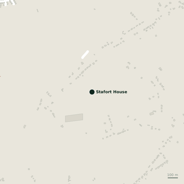
Getting to Stafort House
- Directions from where you are
- Open the model above, tap the pin and choose “Directions here”; the route is drawn from your own position.
While you are there
Other sites within 3 km: South Wood (899 m), Rinville Castle (901 m), Renville Park (965 m), Pollacullaire (1.0 km) and North Wood (1.1 km).
Tower houses, the castles of the Irish countryside
Many of the ruins mapped around Tuam are tower houses, the tall stone farm-castles of the later Middle Ages, built to be lived in with a small household and defended when it came to that, with a vaulted floor against fire, corner bartizans and a machicolation above the door.
Written from Wikipedia, "Tower house" (CC BY-SA 4.0); the words are ours.
Other ruins around Galway
- 1.2 km
- 1.6 km
- 3.7 km
- 5.0 km
- 5.8 km
- 6.0 km
- 6.4 km
- 8.8 km
Questions people ask
Where is Stafort House?
Are there other ruins nearby?
Source record: OpenStreetMap node/4339035503, read on 2026-09-18. The street is the mapped address where there is one, otherwise the nearest named road. Distances are straight lines.