County Galway · Connacht · Indreabhán
About Inverin
Inverin is a village in County Galway, 21 km west of Galway city. The mouth of the river, a Gaeltacht village on the coast road with the summer colleges, the airport for the Aran Islands and a football tournament every St Stephen's Day.
- Where
- 21 km from Galway, 207 km from Dublin
- Position
- 53.2462° N, 9.3651° W
- In Irish
- Indreabhán
- On the model
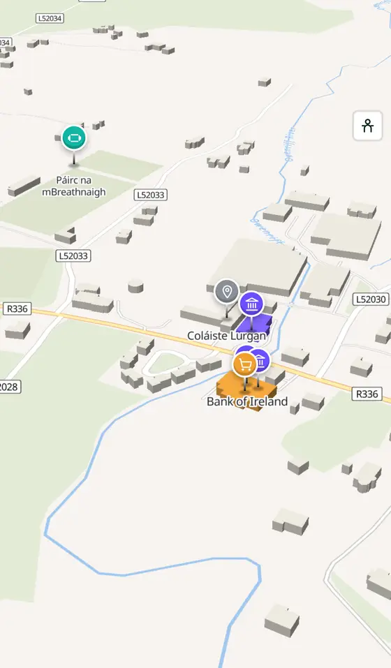
- 898 buildings, 19 streets, 113 places in 23 kinds
- Read more
- Inverin on Wikipedia
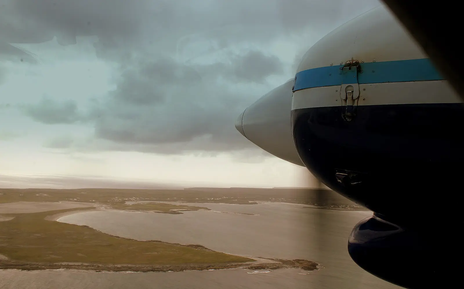
calflier001, CC BY-SA 2.0 via Wikimedia Commons

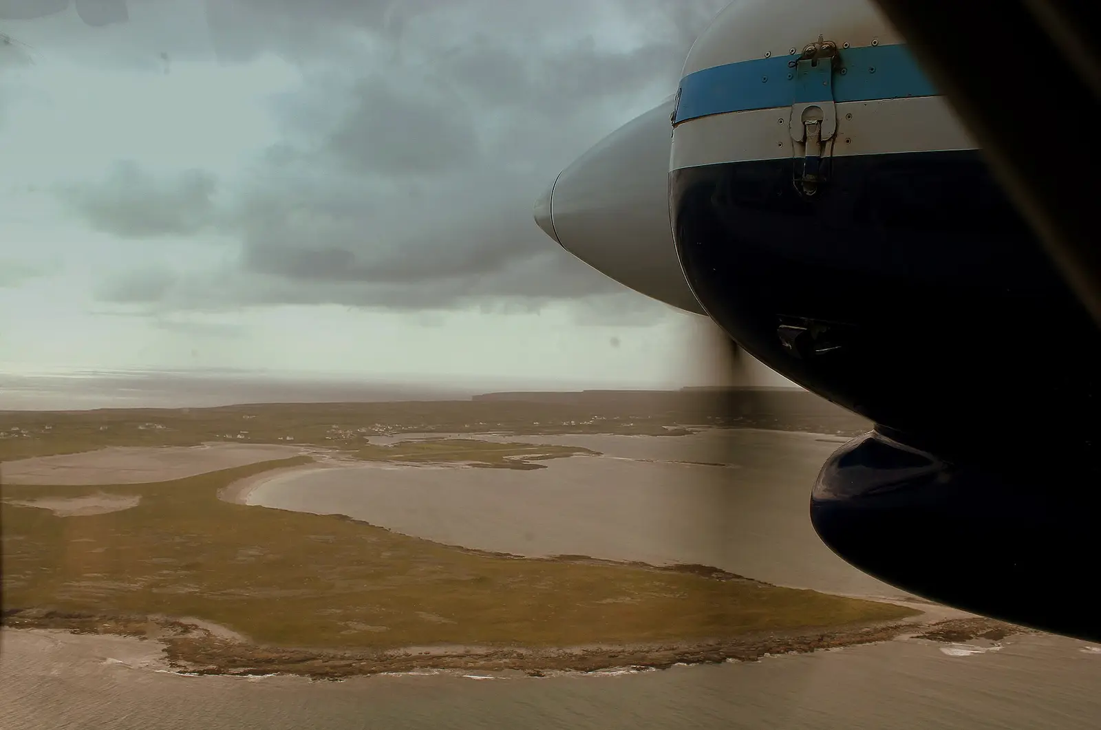
calflier001, CC BY-SA 2.0 via Wikimedia Commons

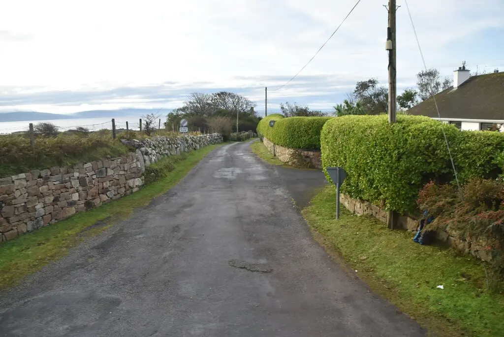
N Chadwick, CC BY-SA 2.0 via Wikimedia Commons

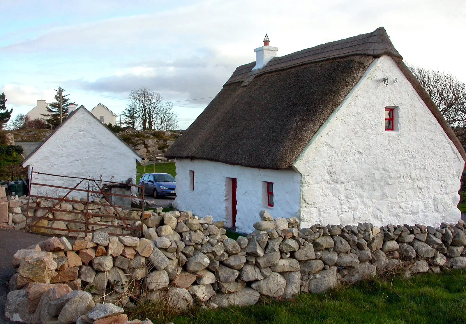
Sean an Scuab, CC BY-SA 3.0 via Wikimedia Commons

A short history
- 1966Cumann Forbartha Chois Fharraige. The local development association was founded.
- Every 26 DecemberThe tournament. CLG Mhícheál Breathnach holds its Gaelic football tournament on St Stephen's Day.
- TodayAer Arann. Aer Arann Islands has its headquarters at Connemara Airport near the village; Coláiste Lurgan and Coláiste Uí Chadhain teach Irish in summer, and Club Leabhar Chois Fharraige reads a book a month.
What to see
- Séipéal an Chnoic697 m
The church on the hill.
- Connemara Airport
Where the island planes leave from.
- An tSeanmhainistir4.0 km
The old monastery ruin at Spiddal, 4 km east.
- The Ó Cadhain memorial4.2 km
For the author of Cré na Cille, 4.2 km along the road.
- Cnoc Suain8.3 km
The hill village in the bog, 8 km inland.
Questions people ask
Where is Inverin?
In County Galway, in the province of Connacht, in the west of Ireland: 21 km west of Galway city and 207 km west of Dublin, on the R336 between Baile na hAbhann and Minna.
What is there in Inverin?
On the map, 113 named places in 23 kinds: 1 place to eat and drink, 1 shop, 4 schools, churches and public buildings, and 99 things to see within 12 km.
What is Inverin known for?
Its Irish summer colleges, Connemara Airport and Aer Arann, the St Stephen's Day football, and its writers.
Getting around
Inverin sits on the R336 between Baile na hAbhann and Minna. 0 bus stops and 1 car park are on the map.
History, sights and civic facts summarise Wikipedia, "Inverin" (CC BY-SA 4.0, read 2026-09-19). Population is the CSO census as listed there. Distances and everything on the model are OpenStreetMap.