About Kilcolgan
Kilcolgan is a village in County Galway, 14 km south-east of Galway city, with 194 people at the 2022 census. Colgan's church at the mouth of its river on Dunkellin Bay, with an oyster cottage of the 1760s, a Gothic Revival castle, and St Sourney's site with its eleventh-century door.
- Population
- 194 (2022 census)
- Where
- 14 km from Galway, 174 km from Dublin
- Position
- 53.2079° N, 8.8672° W
- In Irish
- Cill Cholgáin
- On the model
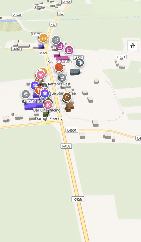
- 269 buildings, 1 streets, 121 places in 32 kinds
- Read more
- Kilcolgan on Wikipedia
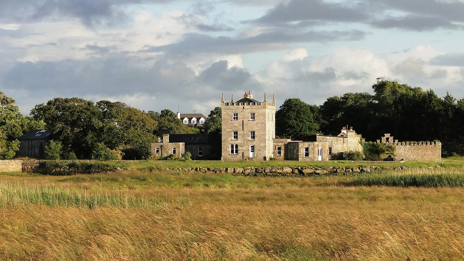
Drow69, CC BY-SA 3.0 via Wikimedia Commons

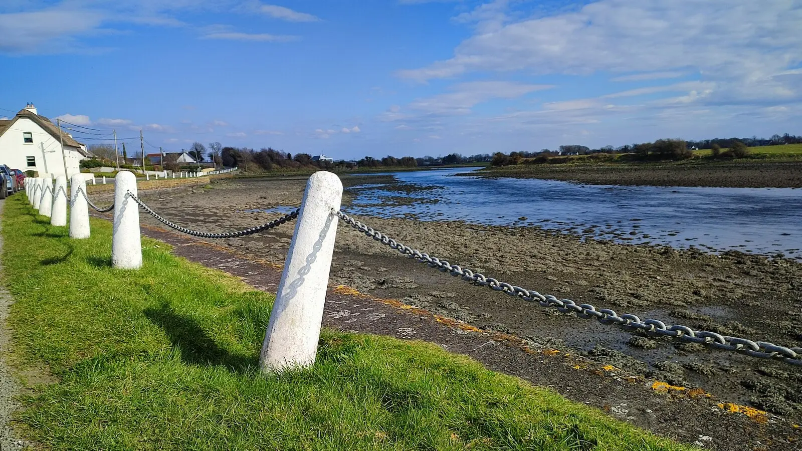
Robert Bone, CC BY-SA 2.0 via Wikimedia Commons

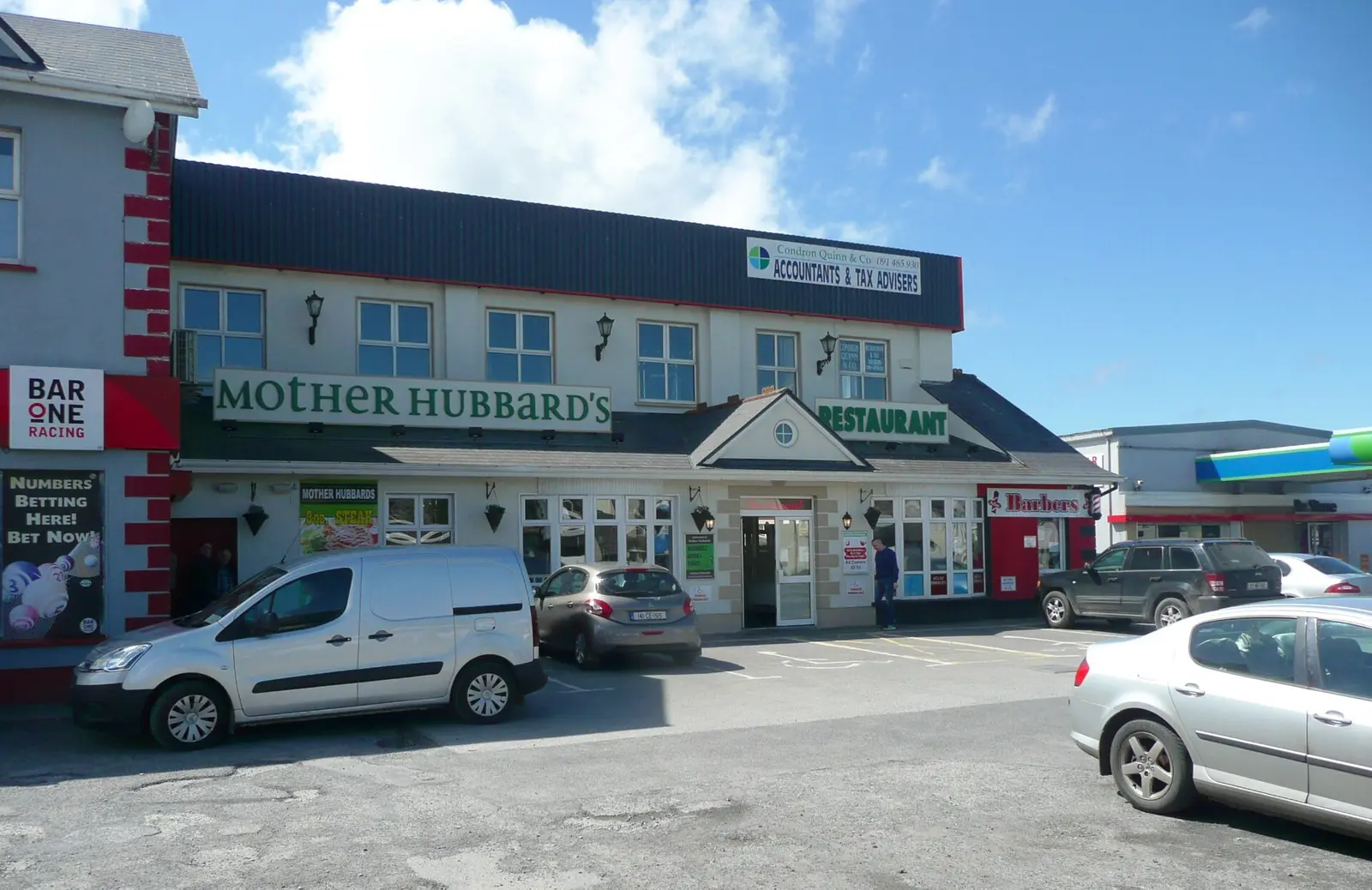
Humphrey Bolton, CC BY-SA 2.0 via Wikimedia Commons

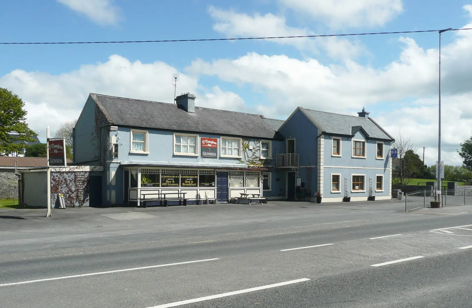
Humphrey Bolton, CC BY-SA 2.0 via Wikimedia Commons

A short history
- 6th centurySt Sourney. The church and well date from then; the carved gothic doorway is of the eleventh century and the mausoleum of the nineteenth, celebrated by Sir John Betjeman.
- 1760sMoran's. The oyster cottage, a restaurant in a thatched house, was established.
- Late 18th centuryThe bridge. The stone bridge over the Kilcolgan River.
- 2016 to 2022A census town. First counted as a town in 2016 with 141 people, 194 by 2022, at the junction of the N67 and R458 between Gort and Clarinbridge.
What to see
- St Sourney's2.7 km
The sixth-century site at Drumacoo with its doorway, mausoleum and well, 2.7 km away.
- Tyrone House2.8 km
The ruined manor by the bay, 2.8 km off.
- Kilcolgan Castle
The Gothic Revival country house.
- Kilcolgan Bridge
The late eighteenth-century stone bridge.
- Kiltiernan Church2.8 km
The medieval church and national monument, 2.8 km out.
- Moran's Oyster Cottage
The thatched restaurant of the 1760s.
Questions people ask
Where is Kilcolgan?
What is the population of Kilcolgan?
What is there in Kilcolgan?
What is Kilcolgan known for?
Getting around
Kilcolgan sits on the junction of the N67 and R458. 0 bus stops and 0 car parks are on the map.
History, sights and civic facts summarise Wikipedia, "Kilcolgan" (CC BY-SA 4.0, read 2026-09-19). Population is the CSO census as listed there. Distances and everything on the model are OpenStreetMap.