County Galway · Connacht · Cill Íomair
About Killimor
Killimor is a village in County Galway, 52 km east of Galway city, with 317 people at the 2022 census. Íomar's church on the N65, 9 km from Portumna, a village with its own heritage centre, a library full of classes and more shops than its size suggests.
- Population
- 317 (2022 census)
- Where
- 52 km from Galway, 136 km from Dublin
- Position
- 53.1651° N, 8.2888° W
- In Irish
- Cill Íomair
- On the model
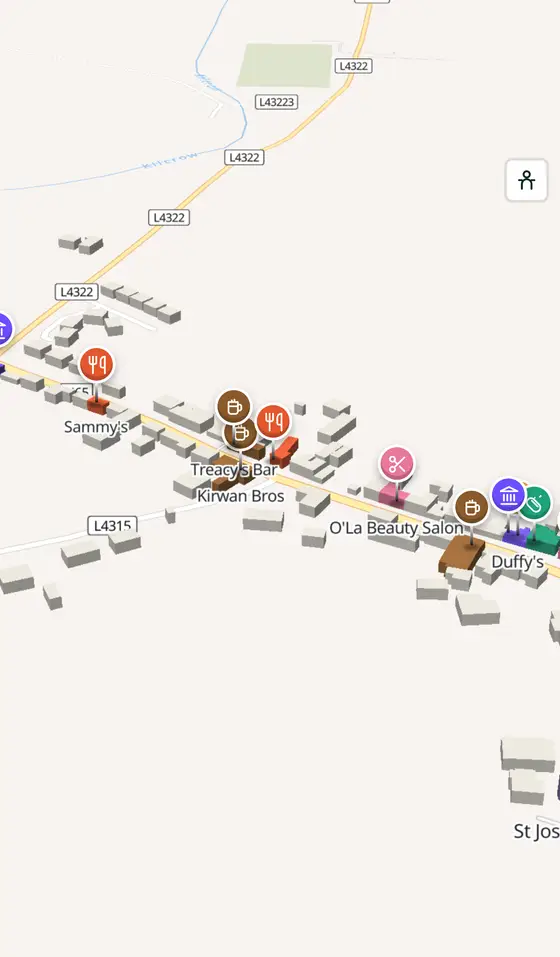
- 314 buildings, 3 streets, 74 places in 25 kinds
- Read more
- Killimor on Wikipedia
A short history
- 2022317 people. The census count for the village, which has a heritage centre, a Catholic church, a post office, a national school, a library, a health centre, supermarkets, a pharmacy, restaurants and pubs, and a small adult education school for arts, crafts and languages.
What to see
- St Joseph's Church266 m
The Catholic church in the village.
- The heritage centre
The village's own centre for its history.
- Pallas Castle6.5 km
The tower house 6.5 km away.
- Derryhiveny Castle7.7 km
The castle 7.7 km off.
- Portumna Castle9.8 km
The Clanricardes' house and gardens, 10 km south.
- Kilnalekin Abbey9.8 km
The friary 9.8 km away.
Questions people ask
Where is Killimor?
In County Galway, in the province of Connacht, in the west of Ireland: 52 km east of Galway city and 136 km west of Dublin, on the N65, 9 km north-west of Portumna.
What is the population of Killimor?
317 people at the 2022 census.
What is there in Killimor?
On the map, 74 named places in 25 kinds: 5 places to eat and drink, 4 shops, 3 schools, churches and public buildings, and 57 things to see within 12 km.
What is Killimor known for?
Its heritage centre, its library, and being the well-served village on the N65 short of Portumna.
Getting around
Killimor sits on the N65, 9 km north-west of Portumna. 0 bus stops and 0 car parks are on the map.
History, sights and civic facts summarise Wikipedia, "Killimor" (CC BY-SA 4.0, read 2026-09-19). Population is the CSO census as listed there. Distances and everything on the model are OpenStreetMap.