About Kilronan
Kilronan is a village in County Galway, 45 km south-west of Galway city, with 297 people at the 2011 census. The harbour village of Inishmore, where the ferries from Rossaveal and Doolin come in, a Gaeltacht where only Cill Rónáin is the official name.
- Population
- 297 (2011 census)
- Where
- 45 km from Galway, 228 km from Dublin
- Position
- 53.1202° N, 9.6695° W
- In Irish
- Cill Rónáin
- On the model
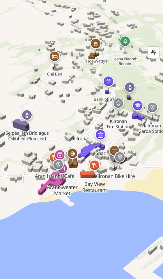
- 764 buildings, 7 streets, 86 places in 36 kinds
- Read more
- Kilronan on Wikipedia
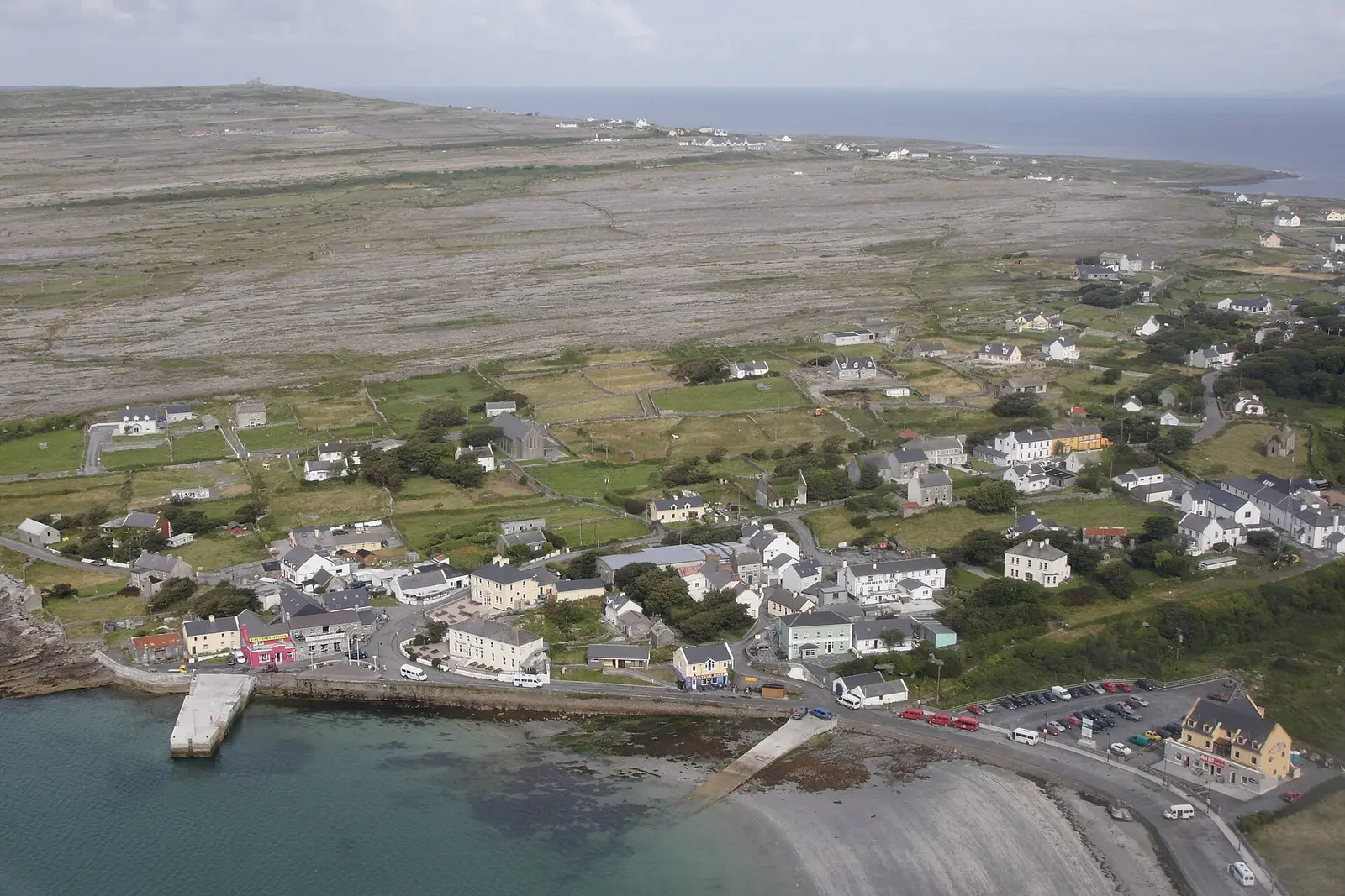
Herbert Ortner, CC BY 3.0 via Wikimedia Commons

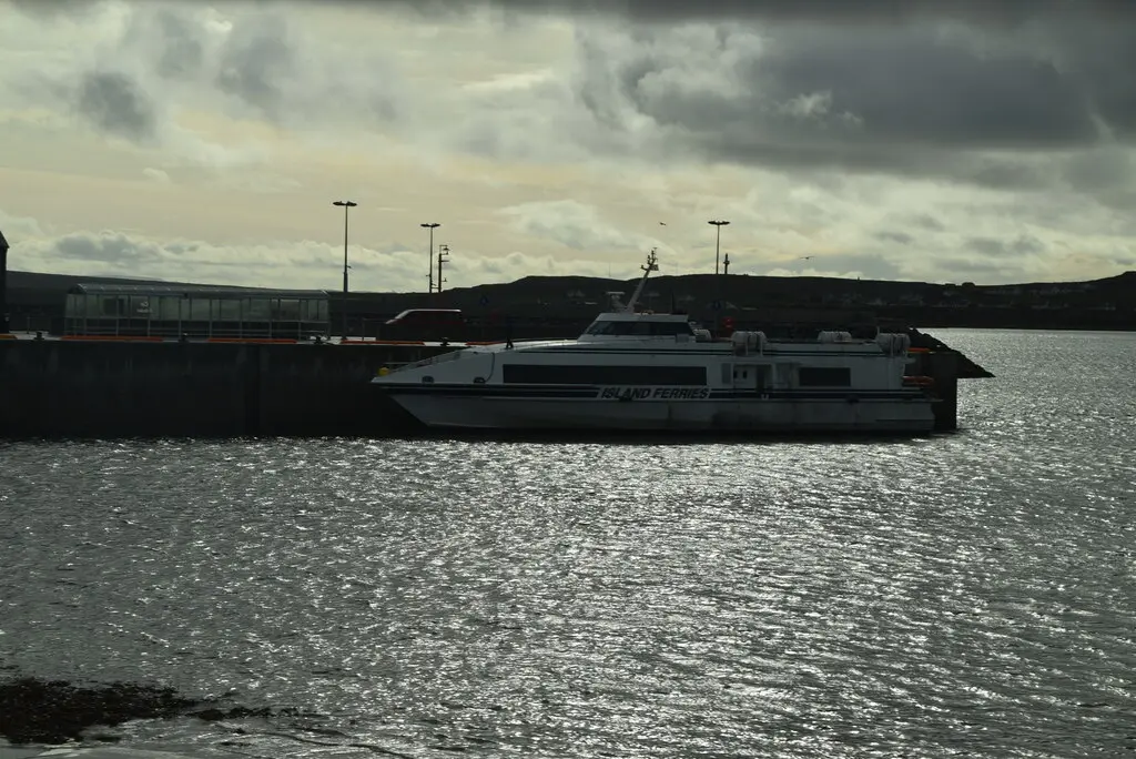
N Chadwick, CC BY-SA 2.0 via Wikimedia Commons

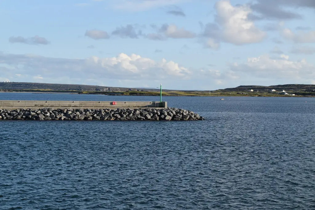
N Chadwick, CC BY-SA 2.0 via Wikimedia Commons

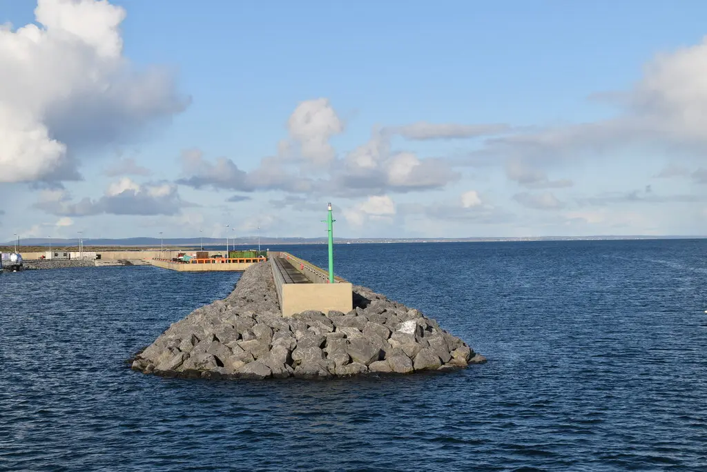
N Chadwick, CC BY-SA 2.0 via Wikimedia Commons

A short history
- 1853Honoria Gaffney. The woman who led the Sisters of St Joseph of Peace was born in the village.
- 1999Abigail, Belle of Kilronan. The Magnetic Fields put the village in a song on 69 Love Songs.
- 2016247 people. The census counted 247 in the village, 43.3 per cent of them speaking Irish every day outside school; fishing and tourism are the work, and schoolchildren come to the summer colleges for their Irish.
What to see
The old church by the harbour.
- Leaba Naomh Rónáin458 m
St Ronan's bed, 450 m from the pier, for the saint the village is named after.
- Arkin's Castle1.8 km
The castle ruin 1.8 km along the shore.
- Teampall Bheanáin2.0 km
The tiny church on the ridge 2 km south.
- Dún Aonghasa6.0 km
The cliff fort at the far end of the island, with its visitor centre at Kilmurvey.
- Poll na bPéist5.7 km
The wormhole, the rectangular pool in the rock on the south coast.
Questions people ask
Where is Kilronan?
What is the population of Kilronan?
What is there in Kilronan?
What is Kilronan known for?
Getting around
Kilronan sits on no mainland road: ferries from Rossaveal and Doolin, and flights from Connemara airport. 0 bus stops and 0 car parks are on the map.
History, sights and civic facts summarise Wikipedia, "Kilronan" (CC BY-SA 4.0, read 2026-09-19). Population is the CSO census as listed there. Distances and everything on the model are OpenStreetMap.