About Leitir Móir
Leitir Móir is a village in County Galway, 40 km west of Galway city, with 542 people at the 2022 census. The great rough hillside, an island joined to the mainland by road, in two halves: Leitir Móir to the east and Leitir Calaidh to the west, and Irish the language of both.
- Population
- 542 (2022 census)
- Where
- 40 km from Galway, 226 km from Dublin
- Position
- 53.2893° N, 9.6556° W, 1 m above sea level
- On the model
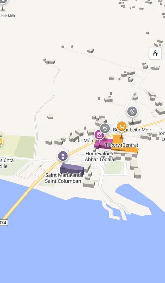
- 590 buildings, 1 streets, 154 places in 20 kinds
- Read more
- Leitir Móir on Wikipedia
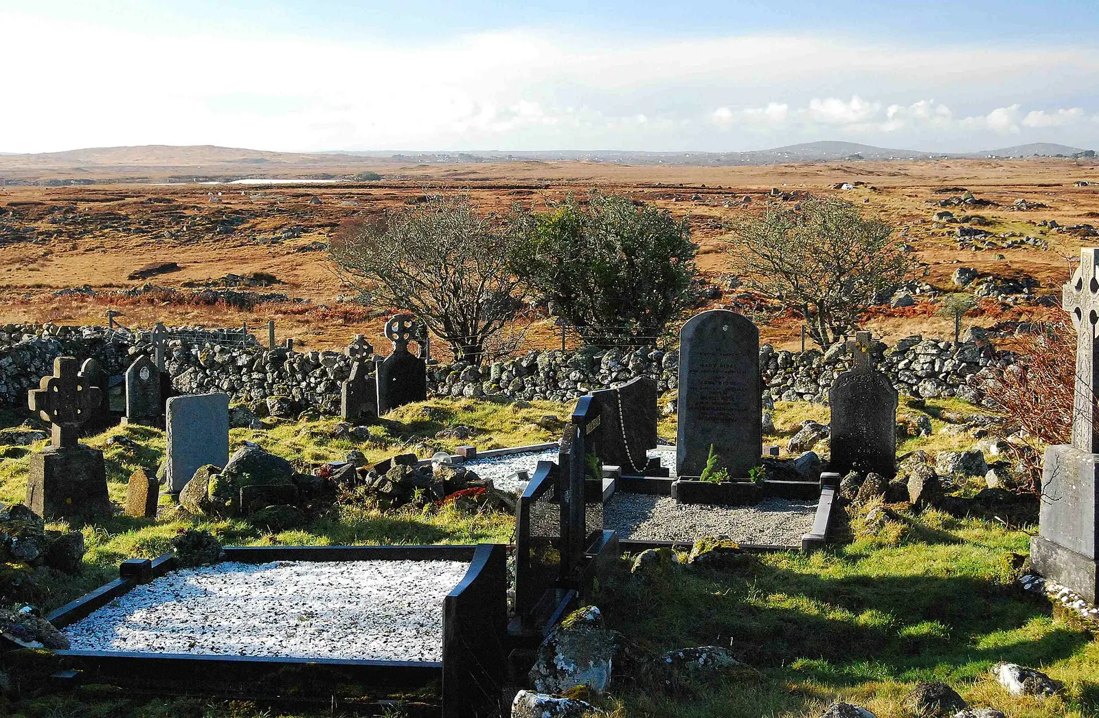
cisko66, CC BY 3.0 via Wikimedia Commons

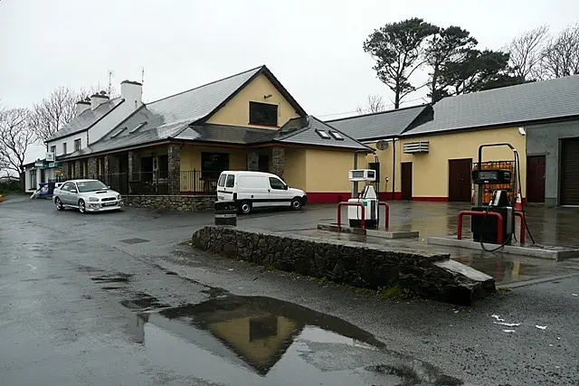
Graham Horn, CC BY-SA 2.0 via Wikimedia Commons

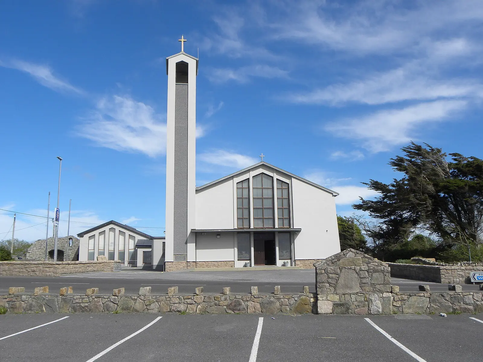
Gordon Hatton, CC BY-SA 2.0 via Wikimedia Commons

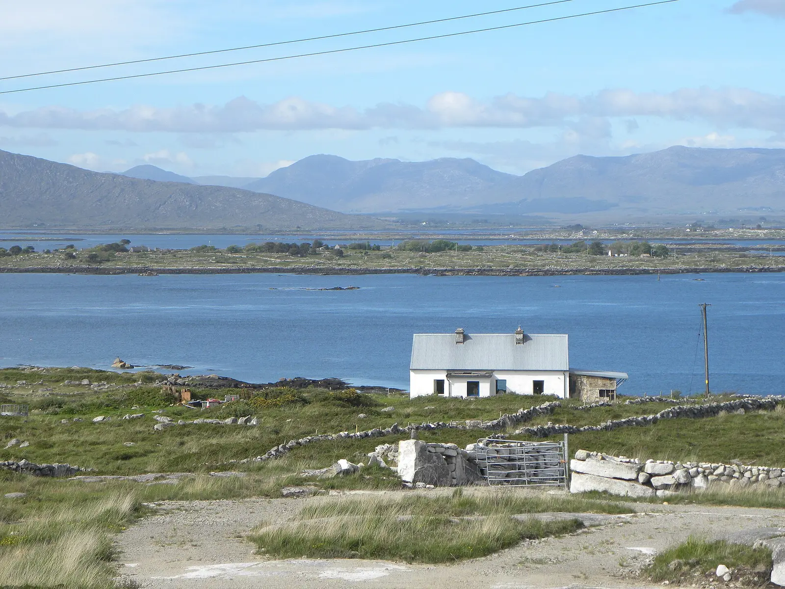
Gordon Hatton, CC BY-SA 2.0 via Wikimedia Commons

A short history
- 1841844 people. The census count at its height before the Famine; 661 by 1851.
- 1881890. The island's highest count, before a long fall to 497 in 2002.
- 2022542. The count has risen a little since the turn of the century.
What to see
The church in the village.
- Teach an tSalainn3.6 km
The salt house ruin 3.6 km away.
- Teampall na Cille6.6 km
The old church 6.6 km west.
The heritage centre on the next island, 7.3 km off.
Population since 1841
Source: Wikipedia article 'Lettermore', Historical populations template, citing the CSO census.
Questions people ask
Where is Leitir Móir?
What is the population of Leitir Móir?
What is there in Leitir Móir?
What is Leitir Móir known for?
Getting around
Leitir Móir sits on the R374 island road. 0 bus stops and 0 car parks are on the map.
History, sights and civic facts summarise Wikipedia, "Lettermore" (CC BY-SA 4.0, read 2026-09-19). Population is the CSO census as listed there. Distances and everything on the model are OpenStreetMap.