Connemara English Language School
Connemara English Language School is a language school on Heather Hills in Letterfrack, County Galway, 260 m north-west of the crossroads. Letterfrack Lodge - Connemara National Park Hostel, Ellis House and Letterfrack National School are within 131 m.
- Kind
- Language school
- Street
- Heather Hills
- From the crossroads
- 260 m north-west
- Phone
- +353876142900
- Website
- connemara-english-school.com
- Bus stop
- Letterfrack, The Country Shop (Citylink), 289 m away
The map does not yet record opening hours for Connemara English Language School. Anyone can add them on OpenStreetMap; this page picks the change up at the next refresh.
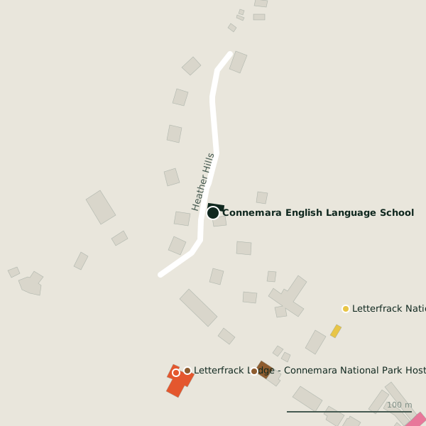
Plan of the surrounding 300 m
Getting to Connemara English Language School
- By bus
- The nearest stop is Letterfrack, The Country Shop, served by Citylink, 289 m away.
- Directions from where you are
- Open the model above, tap the pin and choose “Directions here”; the route is drawn from your own position.
While you are there
6 places to eat and drink within 300 m: Lodge (131 m), Molly’s Bar (229 m), Pizza Max (236 m) and Veldon’s Seafarer (253 m) and more.
2 shops within 300 m, including Letterfrack Hardware and Letterfrack Country Shop.
Within a short walk
- 127 m
- Ellis House130 mHostels
- Letterfrack National School131 mSchools
- Lodge131 mRestaurants
- Molly’s Bar229 mPubs
- The Diamond Hair Studio234 mHairdressers
- Connemara Coastal Cottages235 mTravel agency
- Letterfrack Garda Station235 mGarda station
Other language school in Letterfrack
- 250 m
Questions people ask
Where is Connemara English Language School?
How do I contact Connemara English Language School?
Are there other language school nearby?
Source record: OpenStreetMap node/13109155201, read on 2026-09-18. The street is the mapped address where there is one, otherwise the nearest named road. Distances are straight lines.