About Lettermullan
Lettermullan is a village in County Galway, 45 km west of Galway city, with 214 people at the 2022 census. The westernmost of the three islands at the end of the causeways, 250 acres of herring, cod and seaweed, with a Napoleonic signal tower at Golam Head and every soul on Crappagh and Furnish a native speaker.
- Population
- 214 (2022 census)
- Where
- 45 km from Galway, 231 km from Dublin
- Position
- 53.2426° N, 9.7299° W
- In Irish
- Leitir Mealláin
- On the model
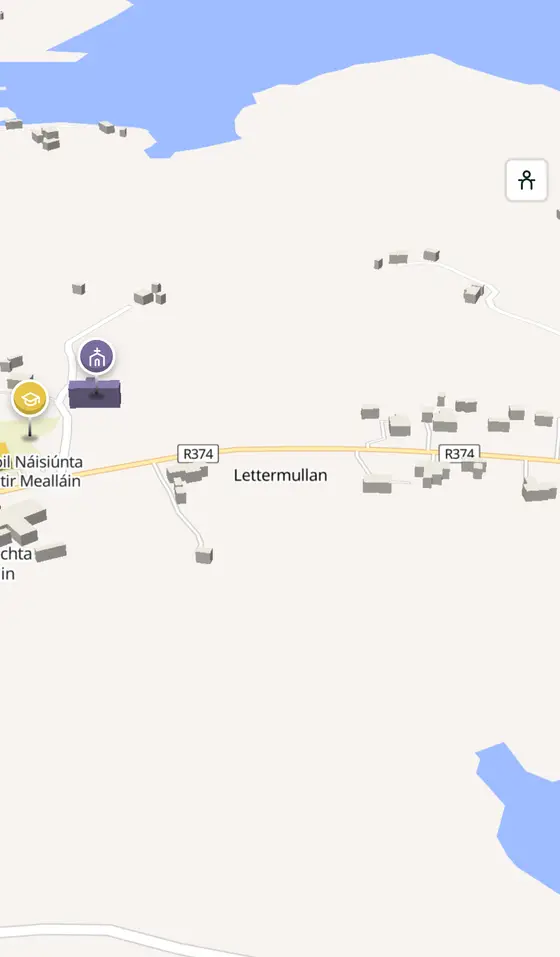
- 536 buildings, 4 streets, 84 places in 13 kinds
- Read more
- Lettermullan on Wikipedia
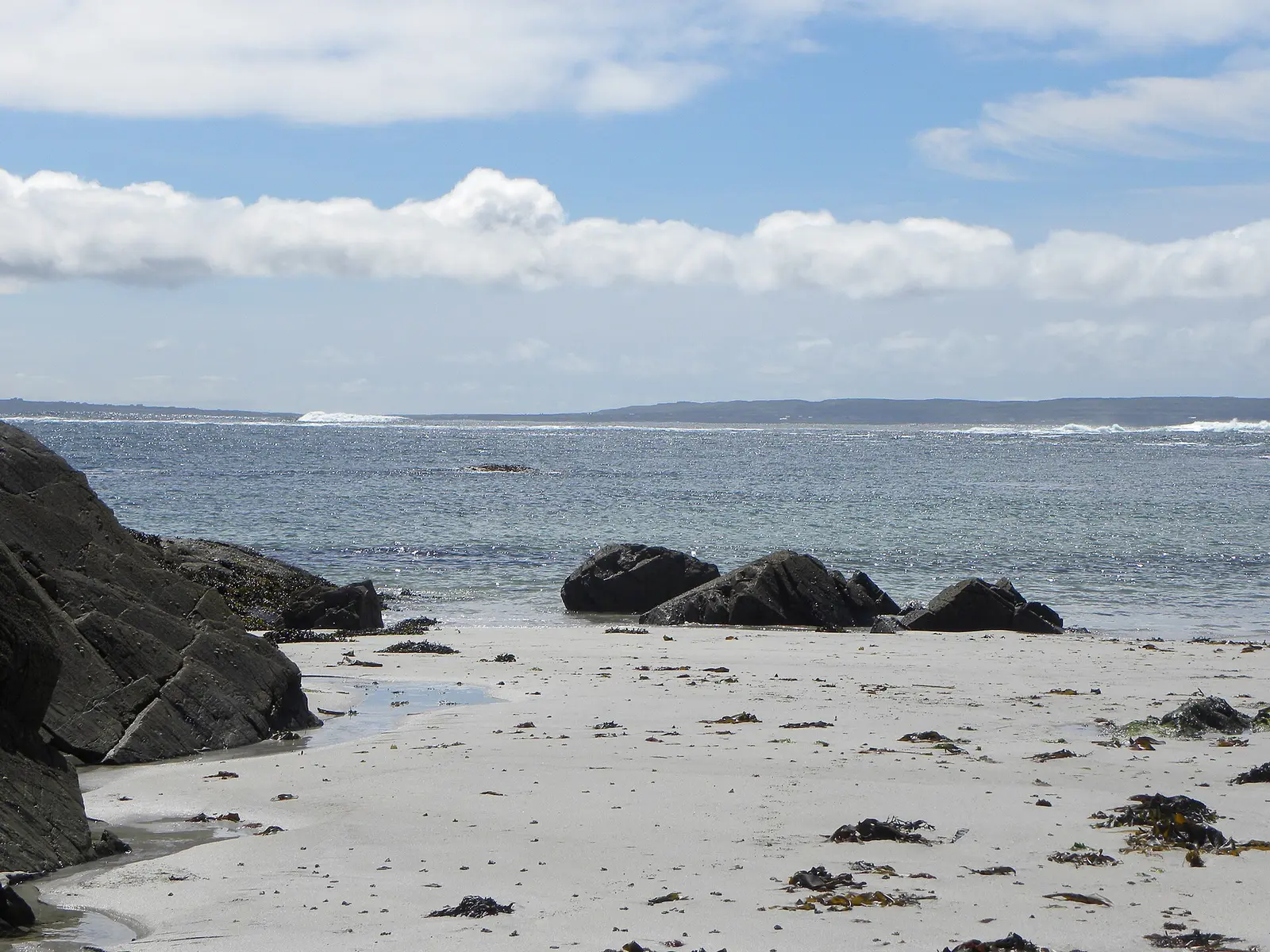
Gordon Hatton, CC BY-SA 2.0 via Wikimedia Commons

Gordon Hatton, CC BY-SA 2.0 via Wikimedia Commons

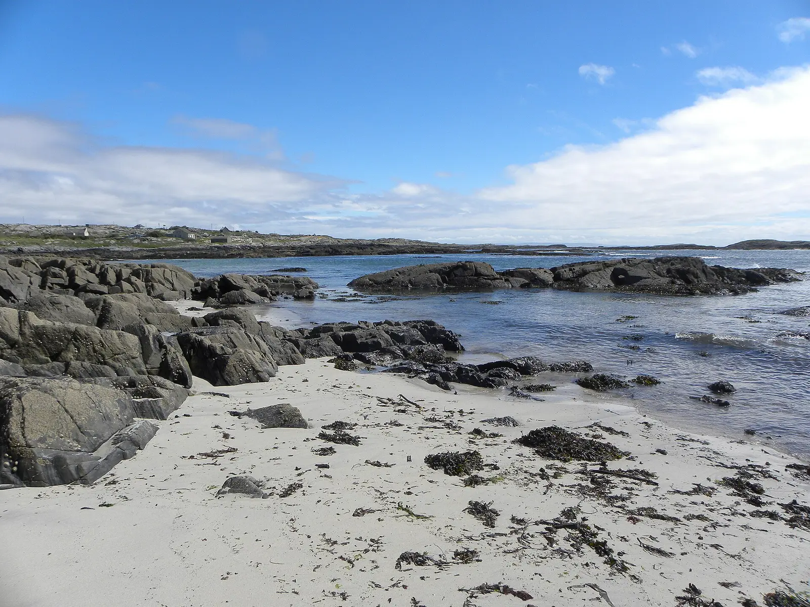
Gordon Hatton, CC BY-SA 2.0 via Wikimedia Commons

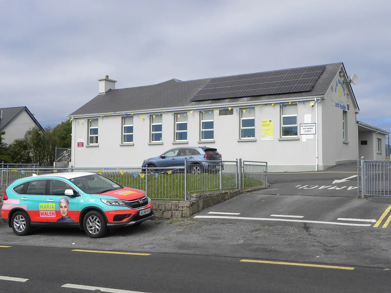
Gordon Hatton, CC BY-SA 2.0 via Wikimedia Commons

A short history
- Silurian and Ordovician timesThe rock. The northern third is the Galway granite of the Caledonian orogeny; the rest is older marine sediment and basalt.
- 1804 to 1806The signal station. One of the towers the British built along the coast to watch for invasion, very well preserved, near Golam Head.
- 1841 to 2022587 to 214. The island had 587 people before the Famine, 626 in 1881, and 214 at the last census.
What to see
- Túr Cheann Ghólaim2.9 km
The signal tower at Golam Head, 2.9 km out.
- The heritage centre165 m
Ionad Oidhreachta Leitir Mealláin in the village.
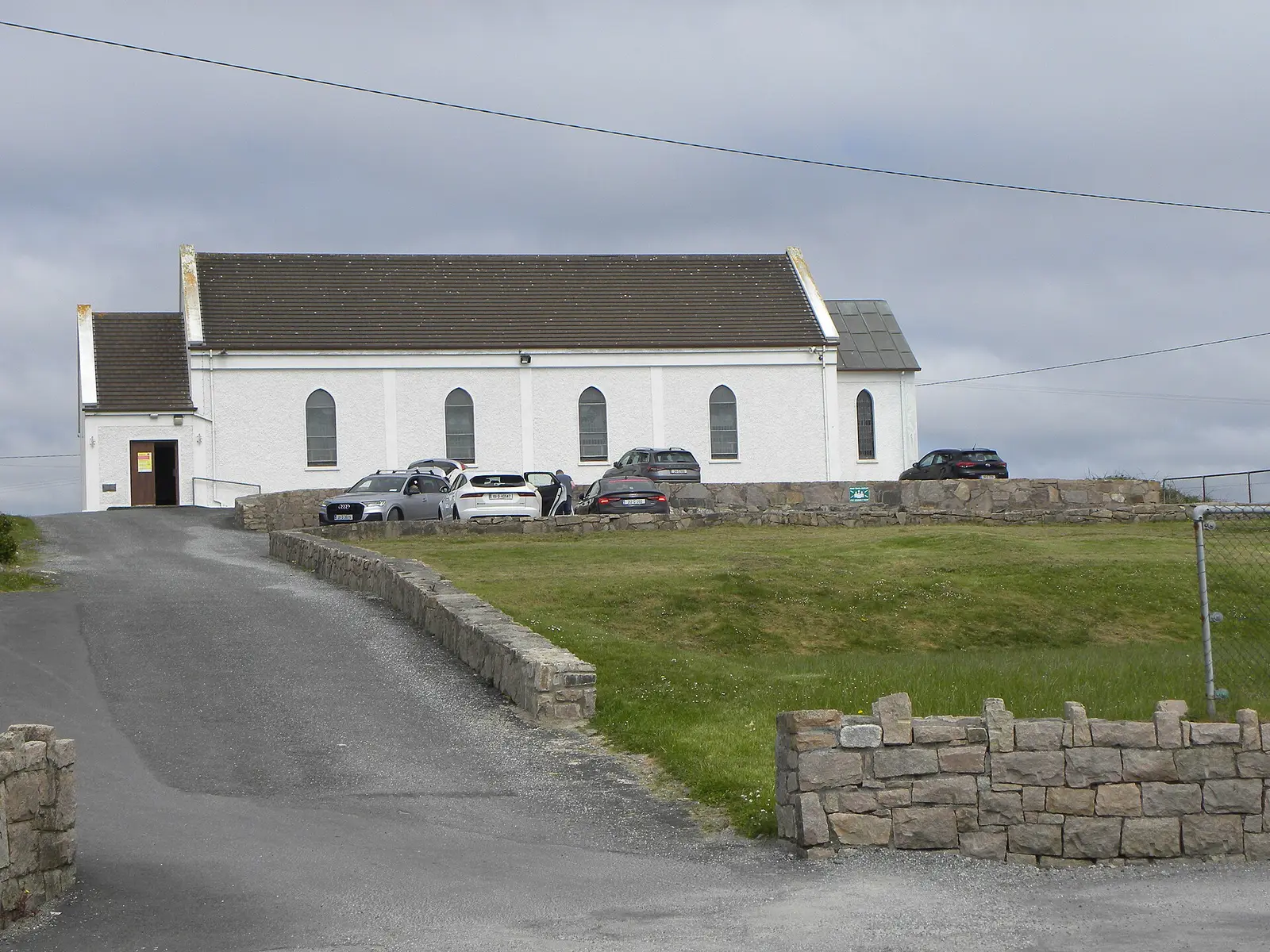
The island's only church.
- Reilig Duigill
The cemetery just after the bridge from Gorumna.
- Teampall na Cille2.2 km
The old church 2.2 km away.
- The small islands
Dinish, Furnish, Inisherk and Crappagh, joined to Lettermullen.
Population since 1841
Source: Wikipedia article 'Lettermullen', Historical populations template, citing the CSO census.
Questions people ask
Where is Lettermullan?
What is the population of Lettermullan?
What is there in Lettermullan?
What is Lettermullen known for?
Getting around
Lettermullan sits on the end of the R374, west of Galway. 0 bus stops and 0 car parks are on the map.
History, sights and civic facts summarise Wikipedia, "Lettermullen" (CC BY-SA 4.0, read 2026-09-19). Population is the CSO census as listed there. Distances and everything on the model are OpenStreetMap.