St. Brendan's Cathedral
St. Brendan's Cathedral is a church on Barrack Street in Loughrea, County Galway, 228 m south-east of the centre. Java’s17 Cafe & Creperie, Top Lock and Lakeside Motors are within 94 m.
- Kind
- Churches
- Street
- Barrack Street
- From the centre
- 228 m south-east
- Phone
- +353 91 841 212
- Website
- loughreacathedral.ie
- Run by
- Diocese of Clonfert
- Parking
- Short Term Car Park, 262 m away
- Bus stop
- Loughrea (Bus Éireann), 221 m away
The map does not yet record opening hours for St. Brendan's Cathedral. Anyone can add them on OpenStreetMap; this page picks the change up at the next refresh.
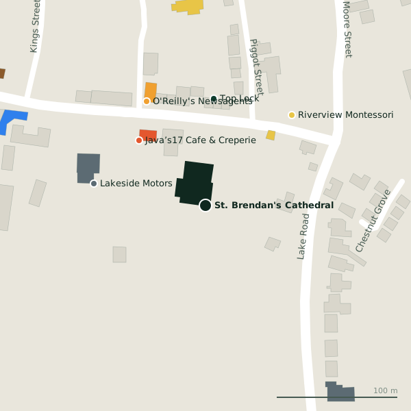
Plan of the surrounding 300 m
St. Brendan's Cathedral in pictures
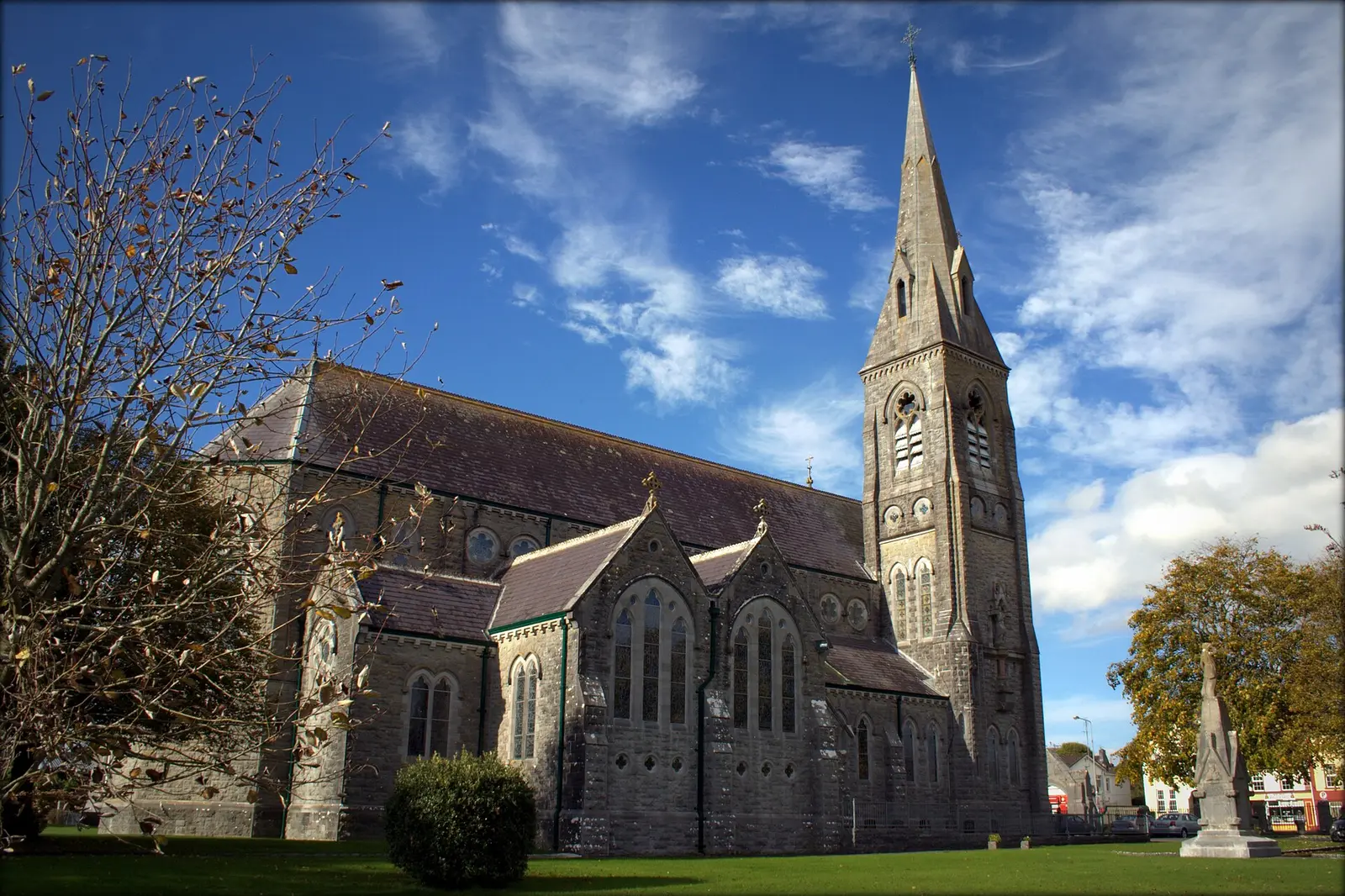
Vanessa Kennedy, CC BY 2.0 via Wikimedia Commons

Getting to St. Brendan's Cathedral
- By car
- Park at Short Term Car Park, 262 m away, paid, 117 spaces. Loughrea is 33 km from Galway city.
- By bus
- The nearest stop is Loughrea, served by Bus Éireann, 221 m away.
- Directions from where you are
- Open the model above, tap the pin and choose “Directions here”; the route is drawn from your own position.
While you are there
13 places to eat and drink within 300 m: Java’s17 Cafe & Creperie (77 m), The Auld Triangle (185 m), John Patrick’s (211 m) and Mai Asian Streetfood (214 m) and more.
19 shops within 300 m, including O'Reilly's Newsagents, Vodafone and Beatty.
Barrack Street itself has 7 named places on the map.
Within a short walk
- 77 m
- Top Lock89 mLocksmith
- Lakeside Motors94 mGarages
- O'Reilly's Newsagents99 mConvenience stores
- Riverview Montessori103 mChildcare
- Loughrea Library159 mLibrary
- Lakeshore Medical Centre181 mClinics
- 185 m
Also on Barrack Street
- Lakeshore Medical CentreClinics
- Loughrea Fire StationFire station
- Loughrea Garda StationGarda station
- Riverview MontessoriChildcare
- Top LockLocksmith
Other churches in Loughrea
- Chapel of Adoration308 mKelly's Street
- 462 m
Questions people ask
Where is St. Brendan's Cathedral?
How do I contact St. Brendan's Cathedral?
Are there other churches nearby?
Source record: OpenStreetMap way/194831383, read on 2026-09-18. The street is the mapped address where there is one, otherwise the nearest named road. Distances are straight lines.