About Moylough
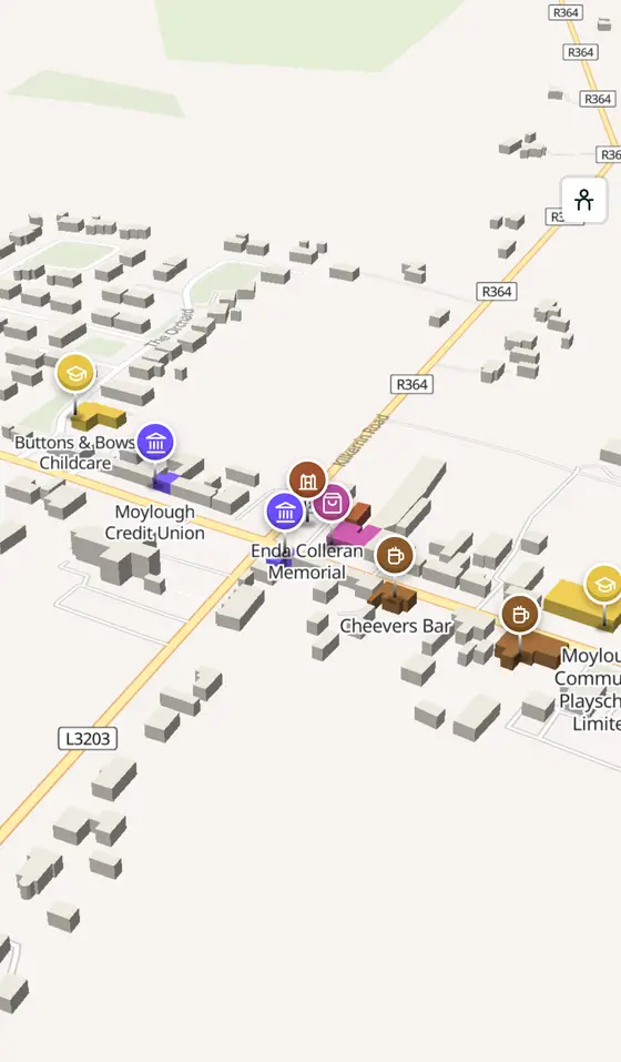
Moylough is a village in County Galway, 40 km north-east of Galway city, with 518 people at the 2016 census. The plain of the lake, 5 km from Mountbellew, with a Norman tower house of the 1200s and a statue of Enda Colleran in the middle of the village.
- Population
- 518 (2016 census)
- Where
- 40 km from Galway, 154 km from Dublin
- Position
- 53.4881° N, 8.5678° W
- In Irish
- Maigh Locha
- Twinned with
- Elliant, Brittany, since 1998
- On the model
- 703 buildings, 8 streets, 62 places in 19 kinds
- Read more
- Moylough on Wikipedia
A short history
- Early timesSoghain. Part of the ancient kingdom of the Soghain of Connacht.
- 13th centuryMoylough Castle. The tower house tied to the Norman de Cotterell and de Cogeshale families.
- About 1830The church. The Catholic church in Moylough More townland.
- 26 January 1906The shortest-serving MP. Thomas Higgins of Moylough was declared elected for the Irish Parliamentary Party after his death.
- 1998Elliant. Twinned, with Mountbellew, with the Breton village.
- 2016518 people. The census count for the village.
What to see
The statue of the Galway footballer in the centre.
- Moylough Castle838 m
The thirteenth-century tower house, 800 m out.
- Castle Bellew2.3 km
The Bellew demesne, 2.3 km away.
- The old forge4.4 km
The forge museum at Mountbellew, 4.4 km off.
- Ballinlass6.7 km
The eviction memorial 6.7 km away.
Questions people ask
Where is Moylough?
What is the population of Moylough?
What is there in Moylough?
What is Moylough known for?
Getting around
Moylough sits on the N63, with the R328 and R364. 3 bus stops and 0 car parks are on the map.
History, sights and civic facts summarise Wikipedia, "Moylough" (CC BY-SA 4.0, read 2026-09-19). Population is the CSO census as listed there. Distances and everything on the model are OpenStreetMap.