County Galway · Connacht · Ros an Mhíl
About Rossaveel
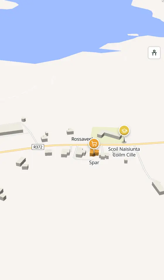
Rossaveel is a village in County Galway, 33 km west of Galway city. The peninsula of the whale, the main ferry port for the Aran Islands, west of Galway in the barony of Moycullen.
- Where
- 33 km from Galway, 218 km from Dublin
- Position
- 53.2735° N, 9.5410° W
- In Irish
- Ros an Mhíl
- On the model
- 399 buildings, 1 streets, 153 places in 15 kinds
- Read more
- Rossaveel on Wikipedia
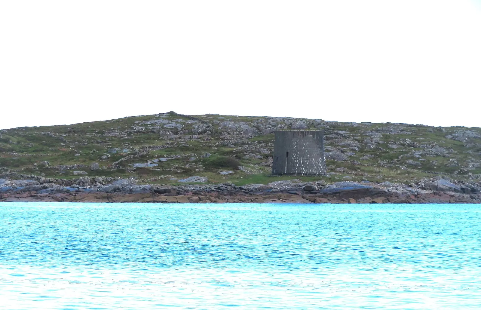
Gordon Hatton, CC BY-SA 2.0 via Wikimedia Commons

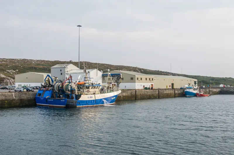
Ian Capper, CC BY-SA 2.0 via Wikimedia Commons

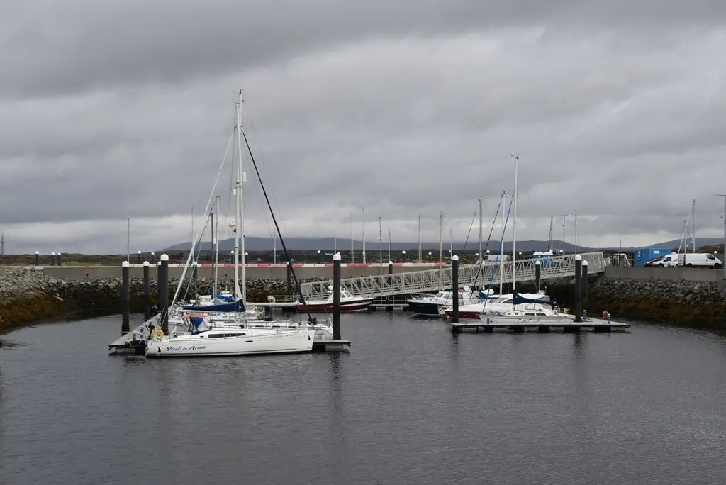
N Chadwick, CC BY-SA 2.0 via Wikimedia Commons

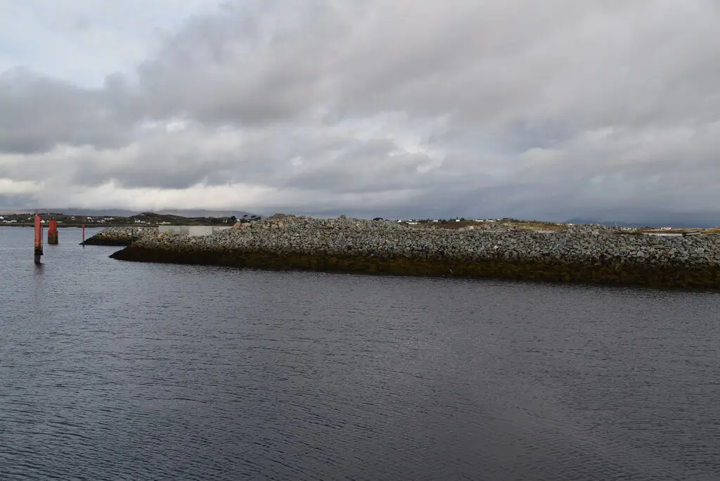
N Chadwick, CC BY-SA 2.0 via Wikimedia Commons

A short history
- 2011208 people. The census count for the townland, 73 per cent of them speaking Irish daily.
- TodayThe port. The ferries for the Aran Islands sail from the harbour; the Ros a' Mhíl centre of Coláiste Chamuis runs immersion summer camps for teenagers, and Bus Éireann's 424 comes from Galway.
What to see
- The harbour
The ferry port for Inishmore, Inishmaan and Inisheer.
The island church 3.8 km away.
- Teach an tSalainn5.5 km
The salt house ruin 5.5 km off.
- An Garraí Glas5.6 km
The garden 5.6 km east.
Questions people ask
Where is Rossaveel?
In County Galway, in the province of Connacht, in the west of Ireland: 33 km west of Galway city and 218 km west of Dublin, on the R336, west of Galway.
What is there in Rossaveel?
On the map, 153 named places in 15 kinds: 2 places to eat and drink, 1 shop, 2 schools, churches and public buildings, and 146 things to see within 12 km.
What is Rossaveal known for?
The Aran Islands ferry port, and the Irish summer camps of Coláiste Chamuis.
Getting around
Rossaveel sits on the R336, west of Galway. 1 bus stop and 0 car parks are on the map.
History, sights and civic facts summarise Wikipedia, "Rossaveal" (CC BY-SA 4.0, read 2026-09-19). Population is the CSO census as listed there. Distances and everything on the model are OpenStreetMap.