About Rosscahill
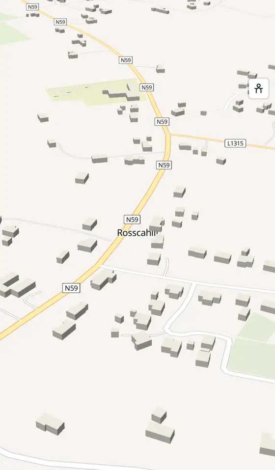
Rosscahill is a town in County Galway, 18 km north-west of Galway city, with 306 people at the 2016 census. A village on the N59 between Galway and Oughterard, with Aughnanure Castle and Brigit's Garden a few minutes either side of it.
- Population
- 306 (2016 census)
- Where
- 18 km from Galway, 198 km from Dublin
- Position
- 53.3872° N, 9.2460° W
- In Irish
- Ros Cathail
- On the model
- 1,479 buildings, 1 streets, 110 places in 13 kinds
- Read more
- Rosscahill on Wikipedia
A short history
- 2016306 people. The census counted 306 people in Ros Cathail, on the road between Galway city and Oughterard.
- TodayThe bus. Several bus services a day run to Galway along the N59.
What to see
- Brigit's Garden2.2 km
The Celtic gardens 2 km from the village.
- Aughnanure Castle4.0 km
The O'Flaherty tower house 4 km along the road towards Oughterard.
- Ross Lake
The lake the village stands beside.
- Annaghkeen Castle7.4 km
The tower house on the Corrib shore, 7 km away.
- Connemara Marble6.6 km
The marble works at Moycullen, 6.6 km back towards the city.
Questions people ask
Where is Rosscahill?
What is the population of Rosscahill?
What is there in Rosscahill?
What is Rosscahill known for?
Getting around
Rosscahill sits on the N59, north-west of Galway. 6 bus stops and 0 car parks are on the map.
History, sights and civic facts summarise Wikipedia, "Rosscahill" (CC BY-SA 4.0, read 2026-09-19). Population is the CSO census as listed there. Distances and everything on the model are OpenStreetMap.