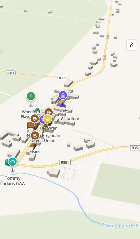
Woodford, street by street
The village of the iron mills between the Shannon and the Slieve Aughty, where seventeenth-century furnaces ate a hectare of oak a day, with a dammed river, three nature reserves and a Furnace Festival every August.
Woodford is a village of 242 people, 50 km south-east of Galway city. This page is a working model of it: every one of its 165 buildings stands on the map above, and 52 shops, cafés, schools, churches and services have a page each, with the street, the hours where recorded, the nearest bus stop and car park, and a plan of the streets around it. Everything comes from open map data and says so.
Live forecast for the centre, hour by hour and the week ahead.
50 km from Galway, 52 km from Shannon Airport, 0 bus stops, 0 car parks.
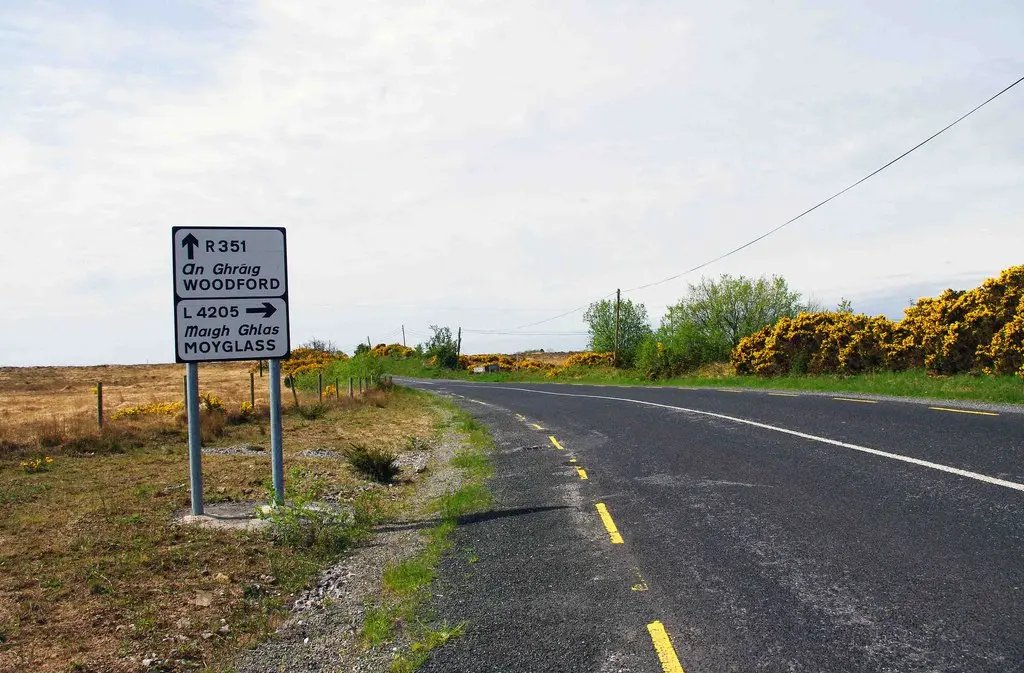
The bay, St Mary's well, the reserves, Derrygill, Kilnalekin, Pallas.
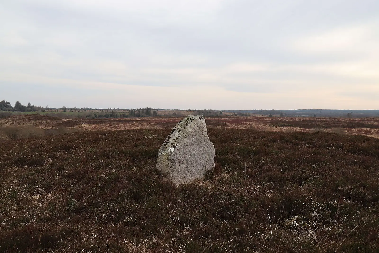
The iron furnaces, the corn mill and the light, the oaks of 2000.
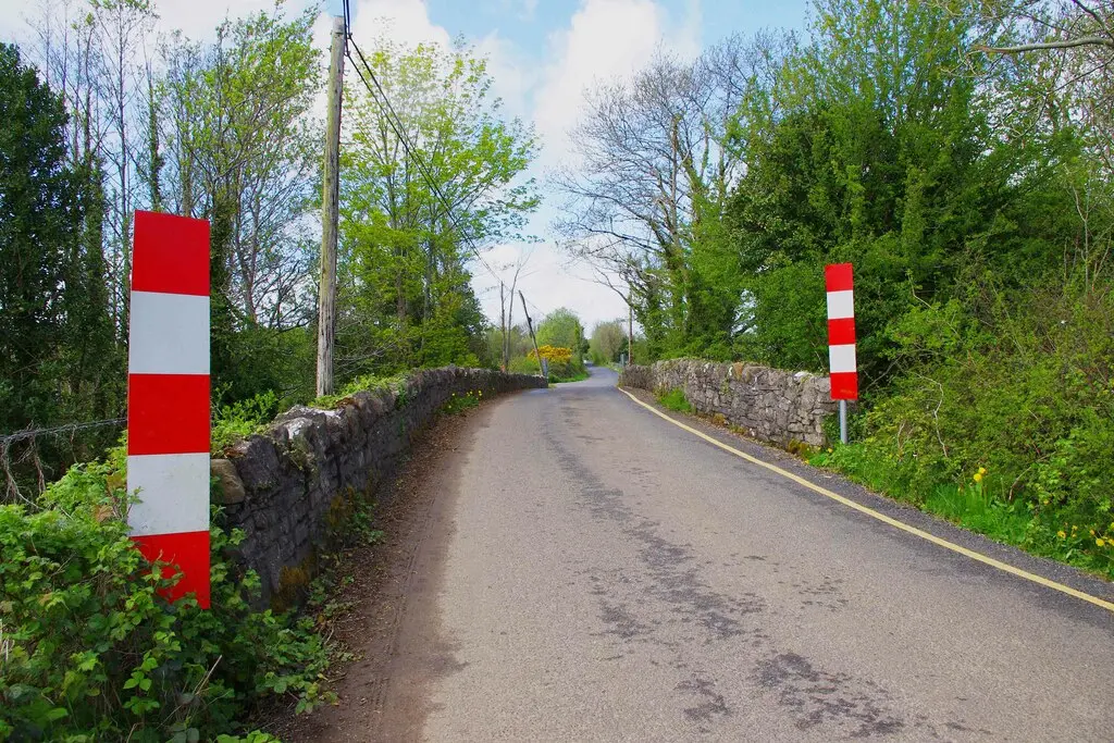
Population 242 at the 2022 census, where it is, what is here.
What is in Woodford
3 pubs, 1 supermarkets, 2 schools, 2 banks and 1 gyms and sport and more, by kind. Each kind has a page listing every one, closest to Main Street first.
Guides to Woodford
All 1 guidesWhere to eat in Woodford
3 cafés, restaurants, takeaways and pubs on the map, 3 of them within 300 m of Main Street. 0 have hours on record.
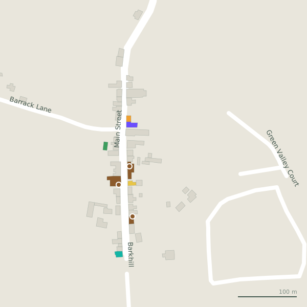
Every place to eat and drink as a pin; tap one for its page and directions.
Street by street
All 5 streets- Main Street5 placesregional road R351 · 347 m
- Barkhill4 placesminor road · 476 m
- Barrack Lane2 placesminor road · 369 m
- Green Valley Court1 placeresidential street · 220 m
Things to see around Woodford
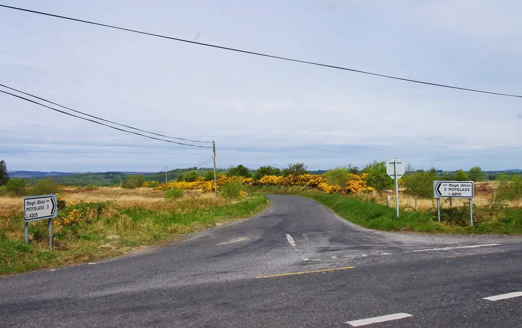
P L Chadwick, CC BY-SA 2.0 via Wikimedia Commons

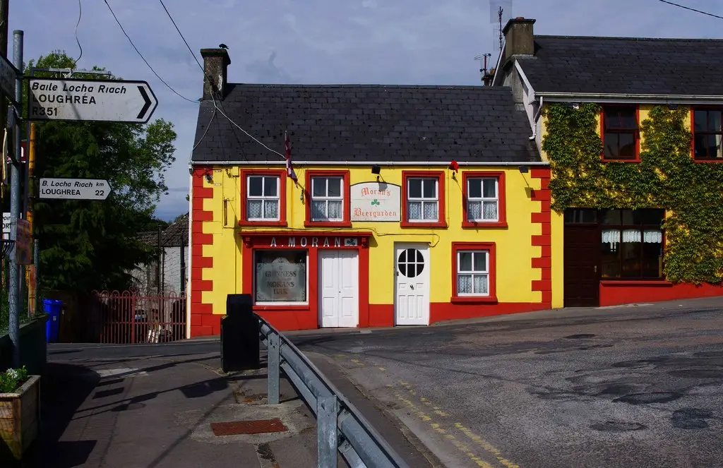
P L Chadwick, CC BY-SA 2.0 via Wikimedia Commons

P L Chadwick, CC BY-SA 2.0 via Wikimedia Commons

Castles, abbeys, old churches, beaches, viewpoints and parks within 12 km, closest first, plus 1 ringfort and ancient site and 2 holy wells on their own pages.
- Woodford PlaygroundPlaygrounds · 106 m
- Woodford BayLakes · 307 m
- St Marys WellMonuments · 848 m
- Black LoughLakes · 4.5 km
- LoughaunewaLakes · 5.4 km
- Coolfin CastleCastles · 5.5 km
- Church (ruins)Ruins · 5.9 km
- Abbey IslandWoods · 6.9 km
- Cloondadauv CastleCastles · 7.3 km
Woodford in pictures
Photographs of the place and the country around it, each from an open archive and credited to the person who took it.
P L Chadwick, CC BY-SA 2.0 via Wikimedia Commons
P L Chadwick, CC BY-SA 2.0 via Wikimedia Commons
P L Chadwick, CC BY-SA 2.0 via Wikimedia Commons
Jason Keane, CC BY-SA 2.0 via Wikimedia Commons

P L Chadwick, CC BY-SA 2.0 via Wikimedia Commons

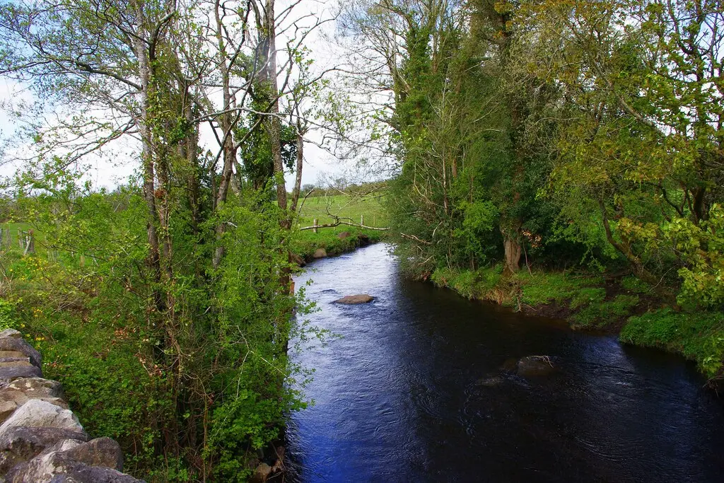
P L Chadwick, CC BY-SA 2.0 via Wikimedia Commons

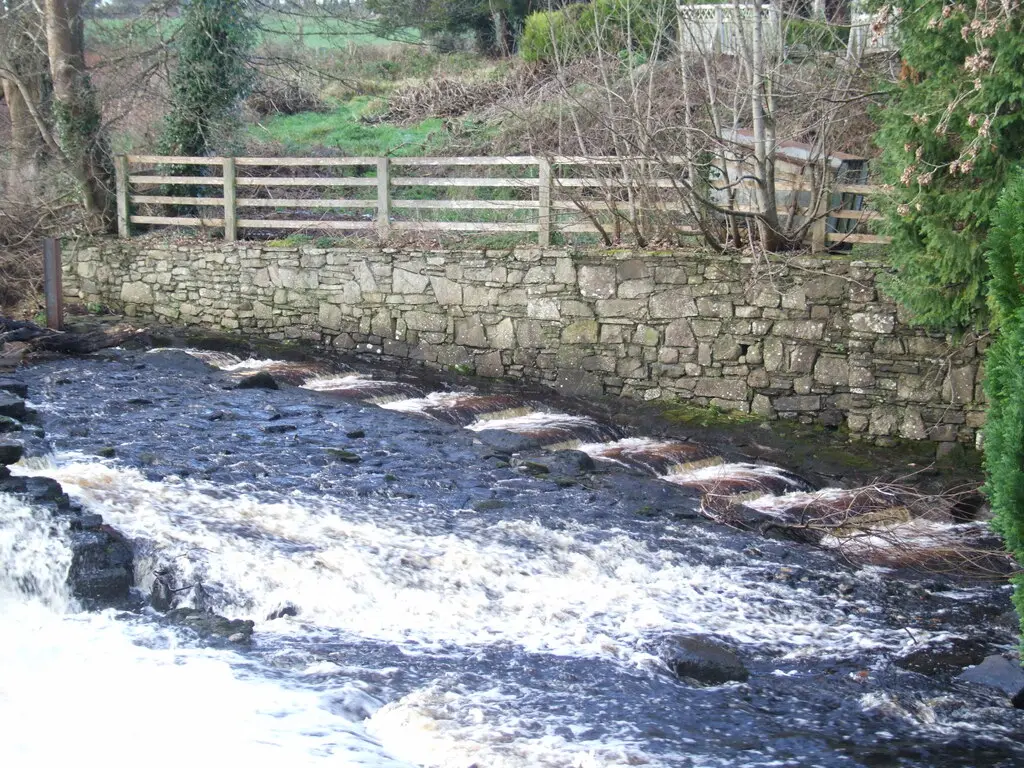
David Leech, CC BY-SA 2.0 via Wikimedia Commons

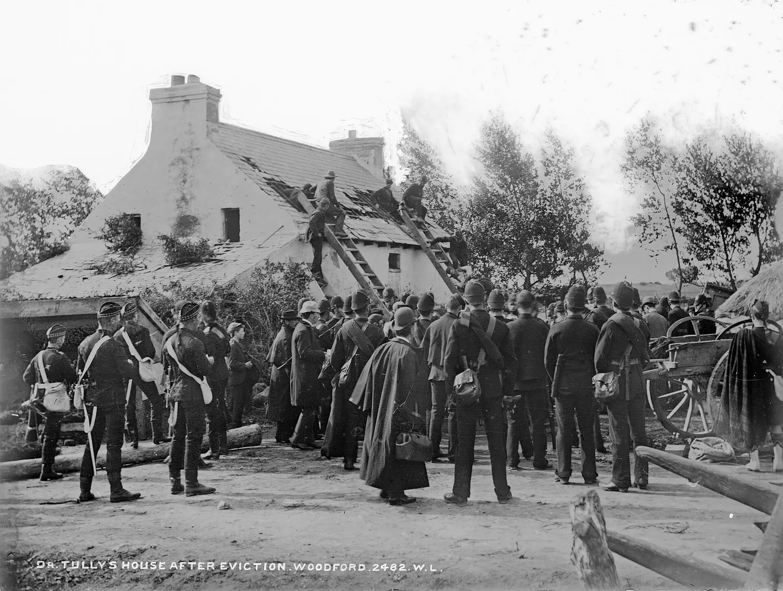
National Library of Ireland on The Commons, no restrictions via Wikimedia Commons

Questions people ask
Where is Woodford?
What is the population of Woodford?
How far is Woodford from Galway?
What is Woodford known for?
What is the weather like in Woodford today?
How the model is built
The buildings are OpenStreetMap footprints, read on 2026-09-18, stood up to the height the map records or a plain two storeys where it records none. Streets, water and the base map come from the same project through OpenFreeMap. Places are the named shops, services and public buildings on the map; each has its own page.
A building takes the colour of the kind of place inside it: restaurants in red, pharmacies in green, schools in yellow. Nothing is invented to fill a gap: a missing fact is shown as missing, with a link to add it to the map. More about the model.