About Ardrahan
Ardrahan is a village in County Galway, 21 km south-east of Galway city, with 540 people at the 2011 census. The high ringfort, with a Fitzgerald castle and the stump of a round tower in the churchyard wall, Edward Martyn's Tulira up the road, and eleven county hurling titles since 1894.
- Population
- 540 (2011 census)
- Where
- 21 km from Galway, 171 km from Dublin
- Position
- 53.1568° N, 8.8060° W, 29 m above sea level
- In Irish
- Ard Raithin
- On the model
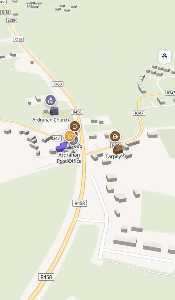
- 324 buildings, 0 streets, 116 places in 27 kinds
- Read more
- Ardrahan on Wikipedia
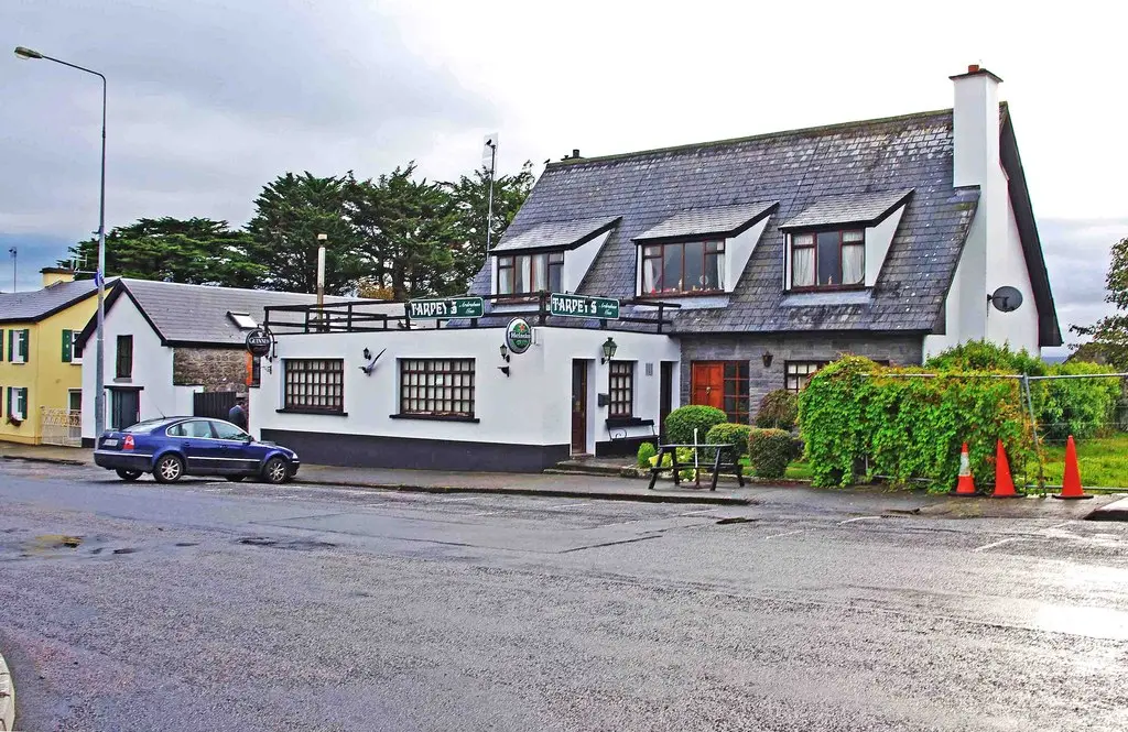
P L Chadwick, CC BY-SA 2.0 via Wikimedia Commons

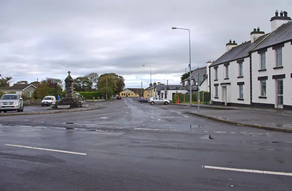
P L Chadwick, CC BY-SA 2.0 via Wikimedia Commons

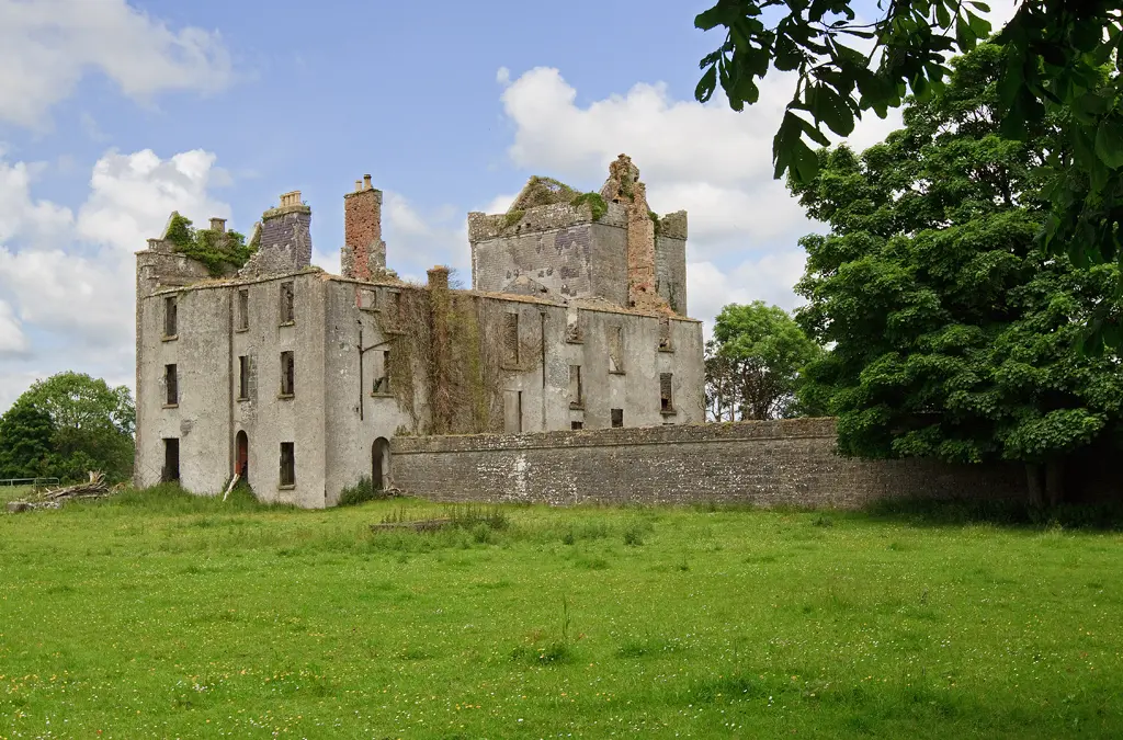
Mike Searle, CC BY-SA 2.0 via Wikimedia Commons

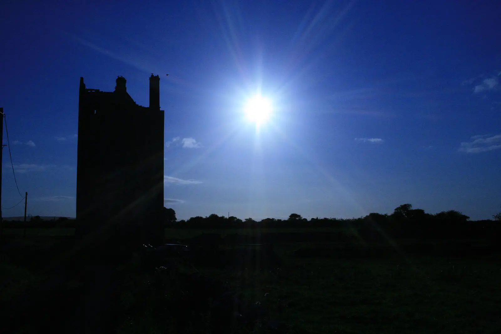
Joe Silke, CC BY-SA 4.0 via Wikimedia Commons

A short history
- Before 1236The round tower. The remains of a round tower in the churchyard wall suggest a monastery stood here before any castle.
- 1236Fitzgerald's castle. Richard de Burgo conquered Galway and granted the land to Maurice Fitzgerald, who built the castle whose ruins still stand.
- 1869 to 1983The railway. The station opened on 15 September 1869, lost its passengers on 5 April 1976 and closed for good on 11 June 1983; a new station has opened with the first phase of the Western Rail Corridor between Ennis and Athenry.
- 1894First county title. Ardrahan won its first Galway senior hurling championship, and has won eleven in eighteen finals, second only to Castlegar's seventeen.
- 2006 and 2019The camogie girls. The under-14s won the Féile final in both years and went to Cork for Galway; in 2006 they reached the All-Ireland semi-final.
- 2015Tulira sold. Long owned by the county council, Edward Martyn's castle was bought by CarTrawler's Niall Turley for 5.8 million euro.
What to see
- Tulira Castle2.7 km
The house of the playwright and independence activist Edward Martyn, 2.7 km out.
- Ardrahan castle and round tower
Fitzgerald's ruin of 1236 and the tower stump in the churchyard wall.
- Labane church
The parish church with windows by Alfred E.
- Ardrahan Grassland
The special area of conservation west of the village.
- Thoor Ballylee6.3 km
Yeats's tower, 6 km south.
- Coole Park7.4 km
Lady Gregory's demesne, 7.4 km away.
Questions people ask
Where is Ardrahan?
What is the population of Ardrahan?
What is there in Ardrahan?
What is Ardrahan known for?
Getting around
Ardrahan sits on the R458; the Western Rail Corridor station. 4 bus stops and 0 car parks are on the map.
History, sights and civic facts summarise Wikipedia, "Ardrahan" (CC BY-SA 4.0, read 2026-09-19). Population is the CSO census as listed there. Distances and everything on the model are OpenStreetMap.