About Aughrim
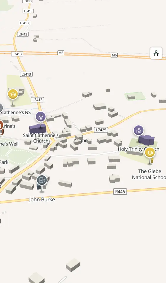
Aughrim is a village in County Galway, 49 km east of Galway city. The horse ridge on the old Dublin road where St Ruth drew up the Jacobite army for the Battle of Aughrim on 12 July 1691, with bishops on the site since about 500.
- Where
- 49 km from Galway, 137 km from Dublin
- Position
- 53.3038° N, 8.3165° W
- In Irish
- Eachroim
- On the model
- 476 buildings, 3 streets, 82 places in 18 kinds
- Read more
- Aughrim on Wikipedia
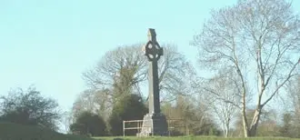
No machine-readable author provided. Damac assumed (based on copyright claims)., public domain via Wikimedia Commons

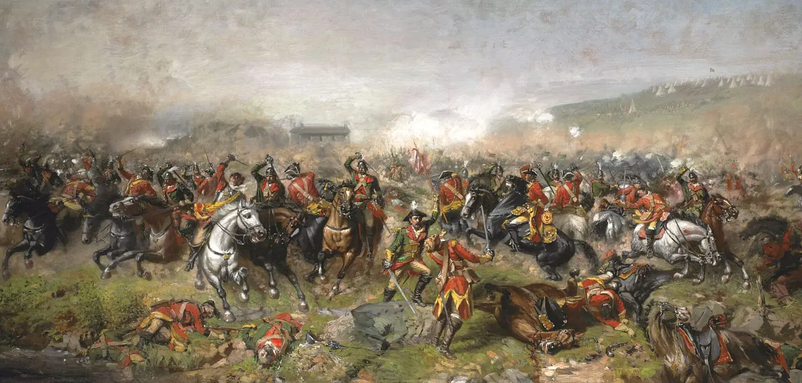
John Mulvany (c. 1839 – 1906), public domain via Wikimedia Commons

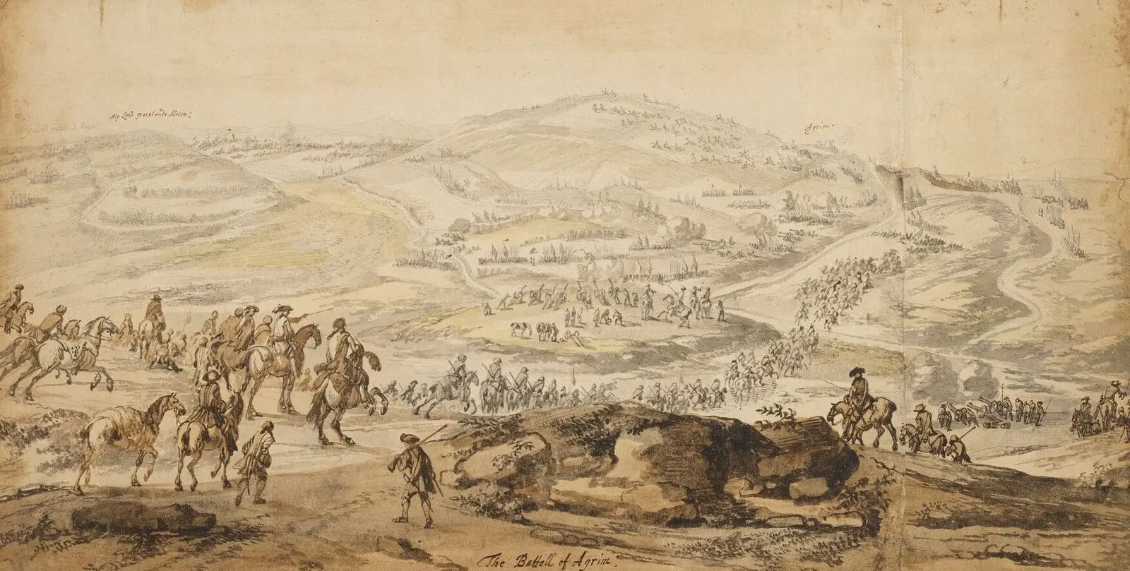
Jan Wyk, public domain via Wikimedia Commons

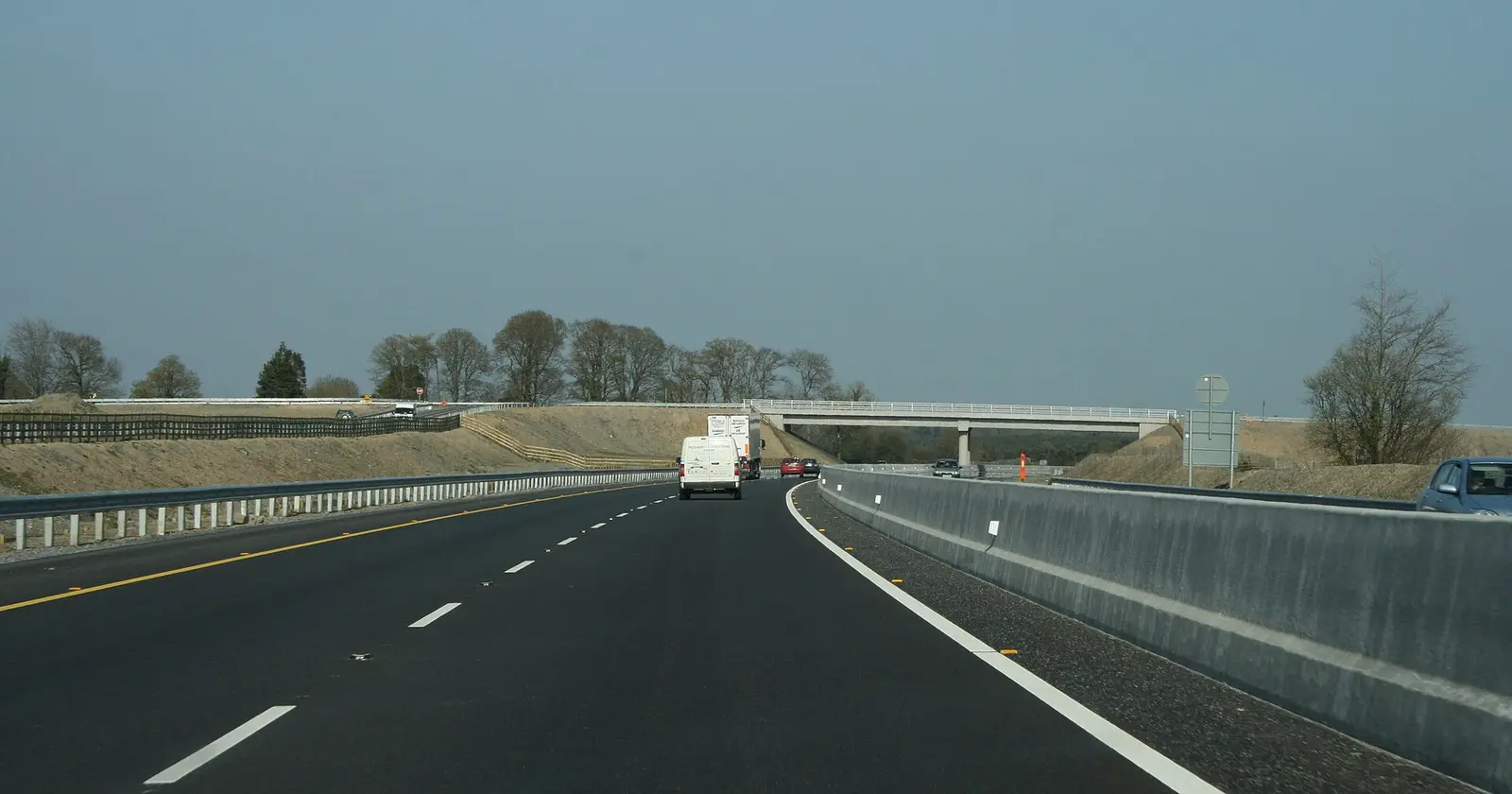
Sarah777, CC BY-SA 2.0 via Wikimedia Commons

A short history
- About 500Connell of Aughrim. The bishop and founder; Flann Aighle in 736, Maelimarchair in 746, the abbot Rechtabhra in 782 and Maelduin, bishop and erenagh, in 809 followed him.
- About 600Aodh mac Aidmhire. The dynast is among the village's recorded names.
- 12 July 1691The battle. The Marquis de St Ruth prepared the Irish Catholic Jacobite troops here for the battle of the Williamite war.
- 1798MacNeven. William James MacNeven, the republican negotiator of the rising, was born here.
- 1819Holy Trinity. The cruciform Church of Ireland church was consecrated on Trinity Sunday and named for it; Henry Martin and then John Crampton were its rectors for its first seventy years.
- 2011595 people. The census count for the division, on the R446 that was the N6 between Loughrea and Ballinasloe.
What to see
The museum of the battle of 1691 in the village.
- The Bloody Hollow1.4 km
The ground of the battle, 1.4 km out.
The church of 1819, still the parish church.
- Kilcommadan1.9 km
The old church 2 km away.
- Kilconnell Abbey6.4 km
The friary 6.4 km north.
- Clontuskert Abbey7.1 km
The priory 7 km east towards Ballinasloe.
Questions people ask
Where is Aughrim?
What is there in Aughrim?
What is Aughrim known for?
Getting around
Aughrim sits on the R446 between Loughrea and Ballinasloe. 2 bus stops and 0 car parks are on the map.
History, sights and civic facts summarise Wikipedia, "Aughrim, County Galway" (CC BY-SA 4.0, read 2026-09-19). Population is the CSO census as listed there. Distances and everything on the model are OpenStreetMap.