About Claregalway
Claregalway is a town in County Galway, 10 km north-east of Galway city, with 1,632 people at the 2022 census. A friary and a tower house on the Clare, nine dry stone arches above the road, and a village that tripled in twenty years once the N17 and N18 stopped running through it.
- Population
- 1,632 (2022 census)
- Where
- 10 km from Galway, 178 km from Dublin
- Position
- 53.3405° N, 8.9462° W, 12 m above sea level
- In Irish
- Baile Chláir
- On the model
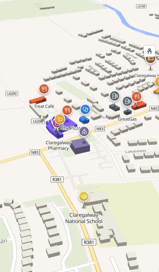
- 663 buildings, 14 streets, 165 places in 43 kinds
- Read more
- Claregalway on Wikipedia
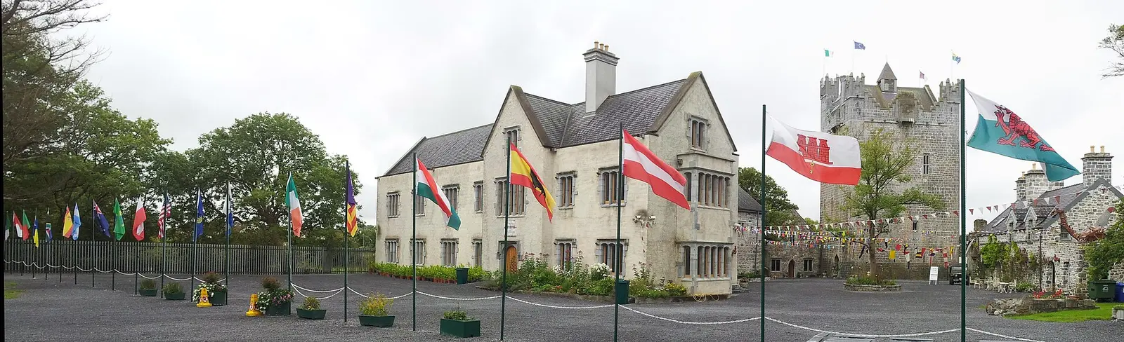
DeeEmm, CC BY-SA 2.0 via Wikimedia Commons

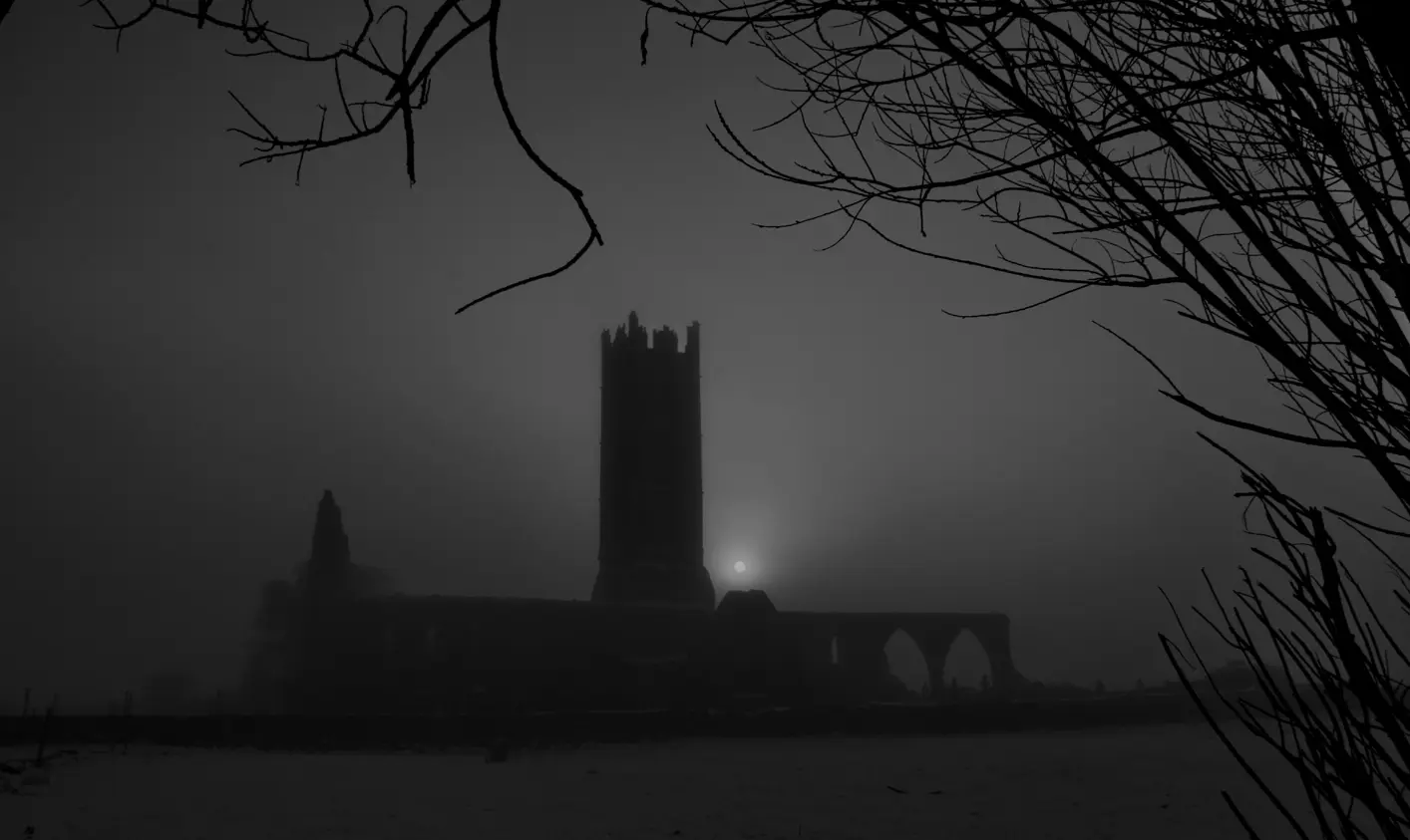
Martin P. Whyte, CC BY-SA 4.0 via Wikimedia Commons

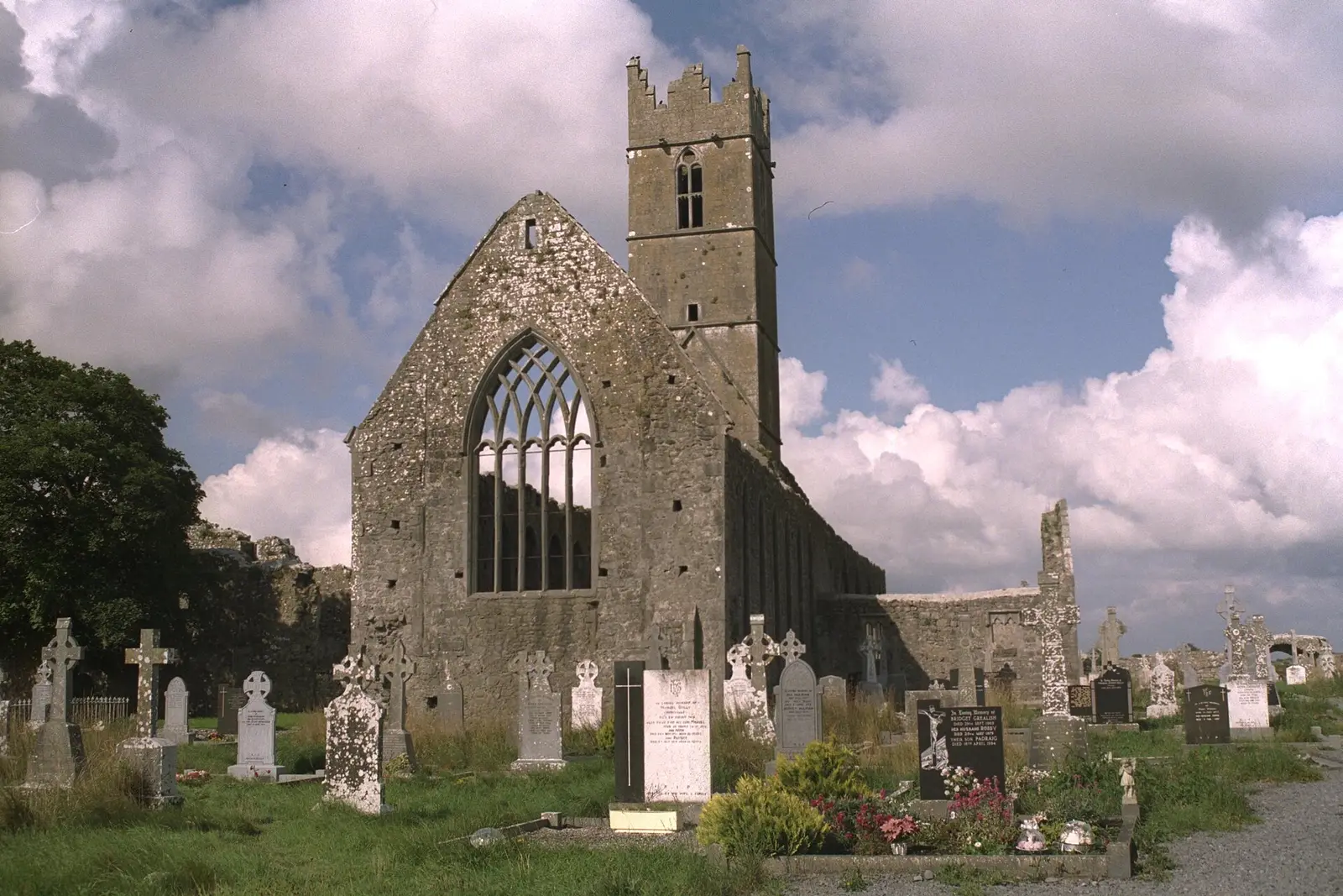
Andreas F. Borchert, CC BY-SA 4.0 via Wikimedia Commons

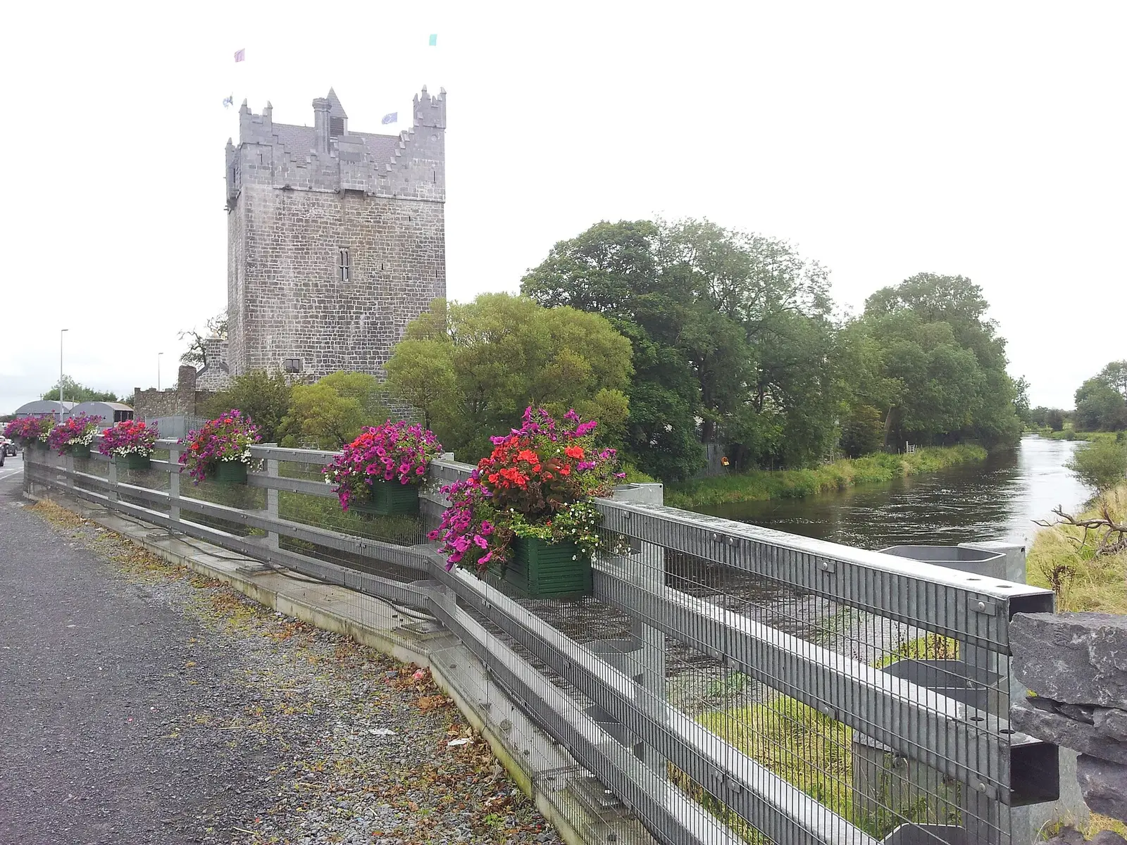
DeeEmm, CC BY-SA 2.0 via Wikimedia Commons

A short history
- Early timesForts and crannogs. Ringforts, bawns, enclosures and crannog sites lie in the townlands of Claregalway, Cloonacauneen, Lydacan and Pollaghrevagh.
- Mid 13th centuryThe friary. Claregalway Friary was founded on the bank of the river, and a Norman tower house followed in the sixteenth century, both inside the village.
- 1612The last O'Heyne. Lydican, in the parish, had an O'Heyne castle; Connor Crone O'Heyne, the last of the chieftains, was living there in 1612.
- 2001Nine arches. The old bridge over the former course of the Clare was restored; its nine stone arches stand above the level of the road today.
- 2017The traffic leaves. Until September 2017 the village sat at the junction of the N17 and N18, with more than 27,000 vehicles a day passing through.
- 2002 to 2022Tripled. The population more than tripled in twenty years; over half the people now commute more than fifteen minutes into the city.
What to see
- Claregalway Friary717 m
The thirteenth-century friary on the bank of the Clare.
- Claregalway Castle688 m
The sixteenth-century Norman tower house in the village.
- The nine-arch bridge
The old bridge over the former river course, restored in 2001.
- Killeen Castle3.8 km
One of the tower houses of the parish, 3.8 km out.
- Cloonboo Castle6.1 km
Another, 6 km north.
- Annaghdown9.6 km
The castle and monastic site on Lough Corrib, 9.6 km away.
Questions people ask
Where is Claregalway?
What is the population of Claregalway?
What is there in Claregalway?
What is Claregalway known for?
Getting around
Claregalway sits on the N17 and N18 junction, bypassed in 2017; north of Galway. 2 bus stops and 0 car parks are on the map.
History, sights and civic facts summarise Wikipedia, "Claregalway" (CC BY-SA 4.0, read 2026-09-19). Population is the CSO census as listed there. Distances and everything on the model are OpenStreetMap.