Roads, buses, parking
Getting to Costelloe
Costelloe is in County Galway, 34 km west of Galway city. Distances below are straight lines from the bridge, so the road is a little longer; the bus stops and car parks are the ones on the map.
Cities
- Galway
- 34 km, to the east
- Limerick
- 93 km, to the south-east
- Kilkenny
- 170 km, to the south-east
- Cork
- 171 km, to the south-east
- Waterford
- 200 km, to the south-east
- Dublin
- 219 km, to the east
Airports
- Aerphort Chonamara
- 8 km, to the south-east
- Aerphort Chonamara
- 8 km, to the south-east
- Aeradróm Inis Mór
- 21 km, to the south
- Aeradróm Inis Mór
- 21 km, to the south
- Aeradróm Inis Meáin
- 22 km, to the south
Nearby towns
- Ennis
- 62 km, south-east
- Athlone
- 108 km, east
- Tralee
- 114 km, south
- Sligo
- 130 km, north-east
- Mullingar
- 149 km, east
- Portlaoise
- 153 km, east
- Clonmel
- 162 km, south-east
- Carlow
- 182 km, east
- Carrigaline
- 182 km, south-east
- Newbridge
- 184 km, east
Bus stops
The map records no bus stop in Costelloe. Anyone can add one on OpenStreetMap and this page will pick it up.
Parking
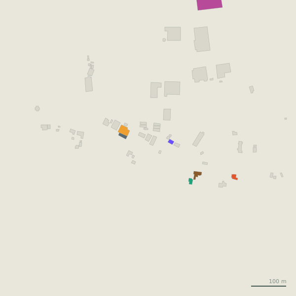
1 car park on the map, 0 of them within 600 m of the bridge. Capacity and charges are shown only where the map records them.
- Seana Mhach Bog Trails Parking1.0 km from the bridge
Positions from OpenStreetMap. See it all on the model.