About Gort
Gort is a town in County Galway, 28 km south-east of Galway city, with 2,870 people at the 2022 census. King Guaire's island in the river, an O'Shaughnessy stronghold, Lord Gort's Georgian triangle, and the countryside where Yeats and Lady Gregory made a literary revival.
- Population
- 2,870 (2022 census)
- Where
- 28 km from Galway, 173 km from Dublin
- Position
- 53.0670° N, 8.8195° W, 43 m above sea level
- In Irish
- Gort Inse Guaire
- On the model
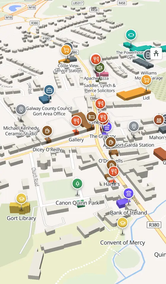
- 1,550 buildings, 40 streets, 186 places in 41 kinds
- Read more
- Gort on Wikipedia
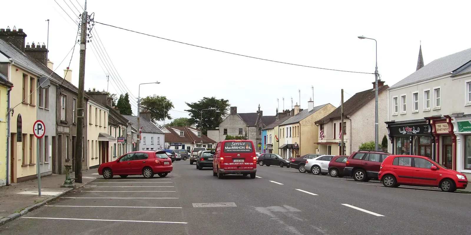
Gordon Hatton, CC BY-SA 2.0 via Wikimedia Commons

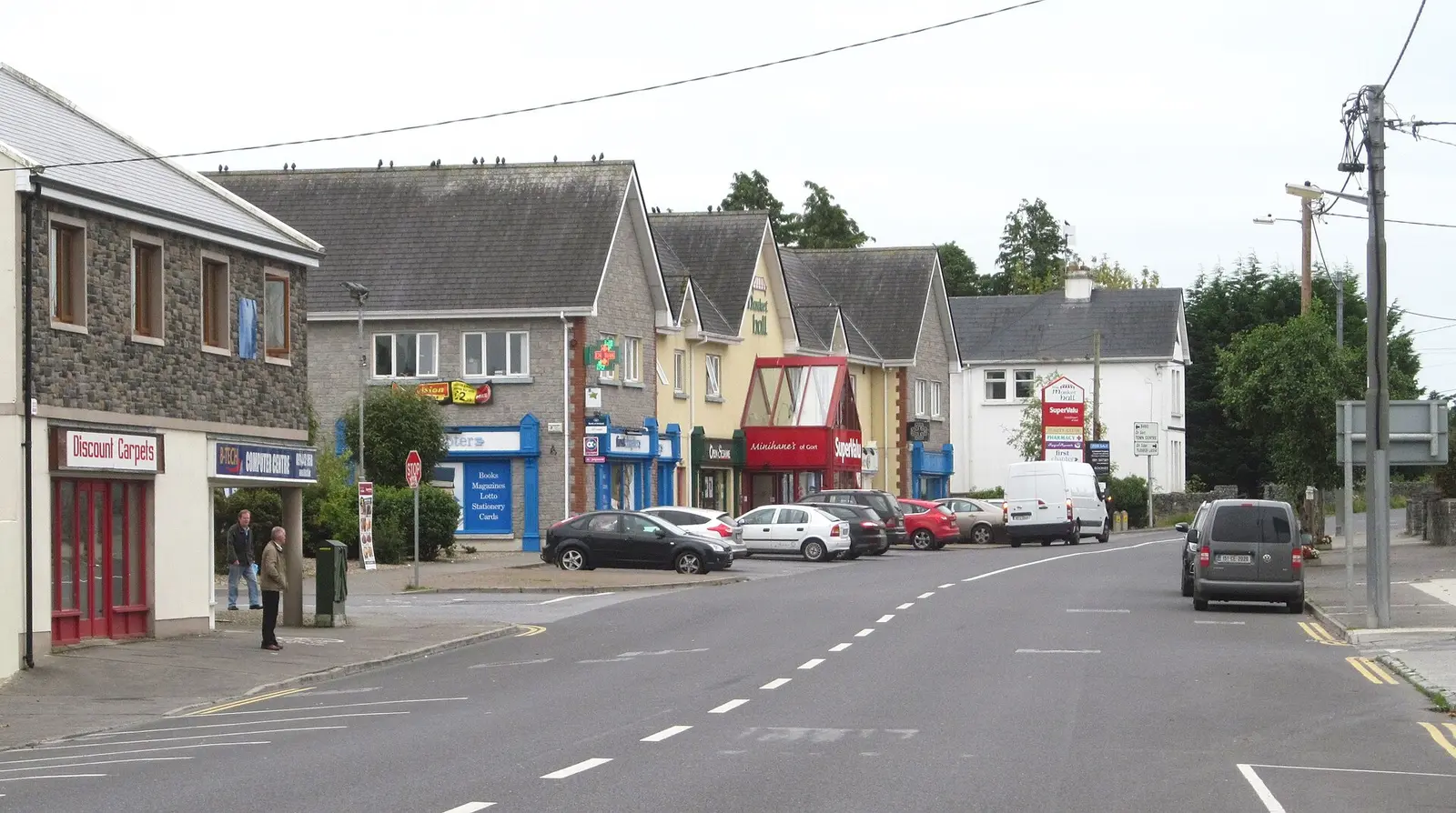
Gordon Hatton, CC BY-SA 2.0 via Wikimedia Commons

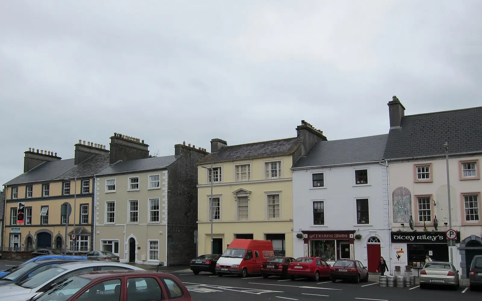
Desmond Ryan, CC BY-SA 2.0 via Wikimedia Commons

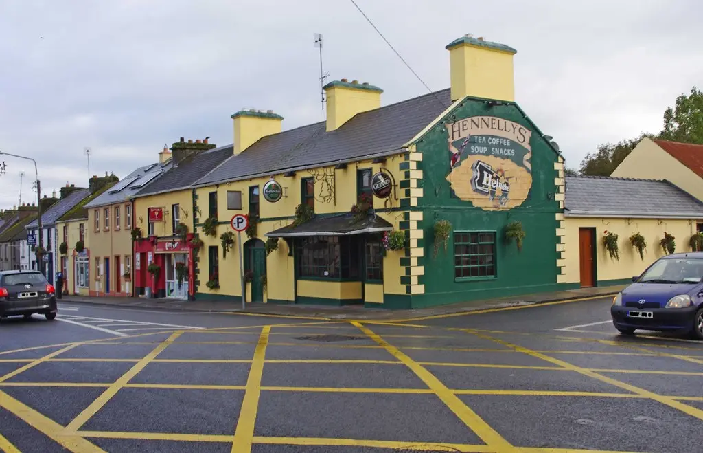
P L Chadwick, CC BY-SA 2.0 via Wikimedia Commons

A short history
- 800 to 1200 BCA Bronze Age fort at Coole. Ringforts, souterrains and holy wells lie in the townlands around the town, and in 2022 a large Bronze Age fort at Coole Park was dated to between 800 and 1200 BC during work in the Burren lowlands.
- Middle AgesThe O'Shaughnessys. The chiefs of Cenél Áeda na hEchtge, descended from Guaire, had their main stronghold on the island site, a castle that later became a cavalry barracks.
- Late 1600sLord Gort's town. The O'Shaughnessy lands were confiscated and granted to Sir Thomas Prendergast, whose grandson became the first Viscount Gort.
- 1806The mill. A four-storey flour mill with a wooden wheel went up by the river in 1806 and worked until 1966; sold to the co-operative mart, it was pulled down in 1985.
- 1869The railway. The station opened on 15 September 1869, closed to passengers on 5 April 1976, and reopened in 2010 on the Western Rail Corridor between Galway and Limerick.
- 1920The barracks years. As a barracks town Gort had a heavy presence of RIC and Black and Tans.
What to see
- Coole Park3.1 km
Lady Gregory's demesne, with the autograph tree signed by Shaw, Yeats, O'Casey and Synge, the walled garden, the nature reserve and the Bronze Age fort dated in 2022.
- Thoor Ballylee5.0 km
The fifteenth-century tower house Yeats bought from the Gregorys and restored for his summers in the 1920s; the Yeats society keeps it open with tours, events and a studio.
- Kilmacduagh5.0 km
The monastery St Colman MacDuagh founded on land from King Guaire, with its churches and round tower, south-west of the town.
- Kiltartan Gregory Museum3.6 km
The museum to Lady Gregory in an old schoolhouse at Kiltartan.
- The Square
The Georgian market triangle Lord Gort laid out, with the mid-nineteenth-century weigh house and Albert Power's Christ the King of 1933.
The park behind St Colman's church of 1825; the old Church of Ireland church of about 1820 is now the library.
Population since 1821
Source: Wikipedia article 'Gort', Historical populations template, citing the CSO census.
Questions people ask
Where is Gort?
What is the population of Gort?
What is there in Gort?
What is Gort known for?
What is the history of Gort?
Getting around
Gort sits on the R458 and R460, joining the M18. 3 bus stops and 0 car parks are on the map.
History, sights and civic facts summarise Wikipedia, "Gort" (CC BY-SA 4.0, read 2026-09-19). Population is the CSO census as listed there. Distances and everything on the model are OpenStreetMap.