The N84 through Headford
Headford's main street is the N84, the road out of Galway's Headford Road roundabouts to Castlebar. It leaves the city past the Corrib, runs north through Cloonboo to Headford and crosses the Black River into Mayo at Shrule, then Kilmaine, Ballinrobe and Partry. The route is officially of poor quality, with a few good stretches in Mayo, and Ballinrobe has become its bottleneck.
Checked against the source on 2026-09-19.
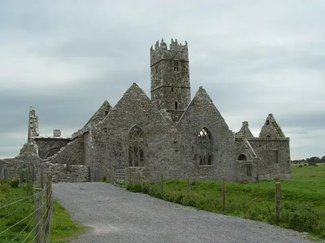
The original uploader was Dppowell at English Wikipedia., CC BY-SA 2.5 via Wikimedia Commons

Headford Castle, Ross Errilly Friary on the 3D model; tap a pin for its page and directions.
The road north
Up to 8,000 vehicles a day pass through Ballinrobe's one-way streets, and a bypass is in planning; the R307 links the N84 into Castlebar from the N5 bypass. For Headford the road means the commute to Galway, 26 km south, and the link to the lake shore at Greenfields. The Headford guide describes the town; the model on this page pins its castle, friary and schools, and the getting-here page has the buses that use the road.
Questions people ask
Where does the N84 go?
Is the N84 a good road?
Written from Wikipedia, "N84 road (Ireland)" (CC BY-SA 4.0), read on 2026-09-19, and from the OpenStreetMap places on the model. Nothing has been added from memory; follow the source for its footnotes.