Kinvara
Kinvara sits where the sea ends, at the head of a narrow bay in the corner of Galway Bay with the Burren rising behind it and a tower house on a rock at its edge. It was once a busy port shipping corn and seaweed; famine and emigration left it a few hundred people, and since 1991 it has grown by seventy per cent. Twice a year it fills, for the cuckoo music festival in May and for the gathering of the hookers in August.
Checked against the source on 2026-09-19.
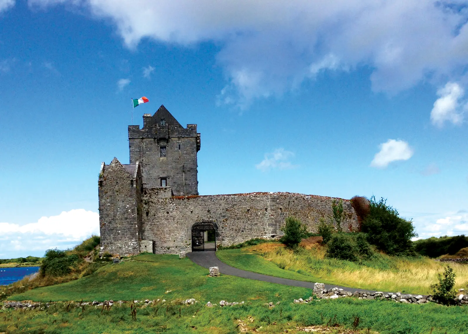
Boomur, CC BY-SA 3.0 via Wikimedia Commons

Dunguaire Castle, Burrenbeo Trust, Crushoa Pier on the 3D model; tap a pin for its page and directions.
Forts, a castle and a chasm
Promontory forts and ringforts in Dungory West, Ballybranagan and Loughcurra North, a lime kiln and an eighteenth-century windmill in the village townland show how long people have been here. Dunguaire, the sixteenth-century tower house of the Ó hEidhin clan east of the village, appears in the 1574 list of castles compiled for Lord Deputy Sidney with Fearadhach Ó hEidhin as owner. The Poulnegan Altar, a Mass rock nearby, is Poll na gCeann, the chasm of the heads: by local tradition Cromwell's soldiers killed student monks from a college nearby at Mass and threw their heads into the chasm. In 1831 the Terry Alts, the agrarian secret society, massed on Abbey Hill between Kinvara and New Quay to challenge the troops, dispersed before they came, and lost a man in a failed ambush at Corranroo.
The village now
The parish churches are St Colman's of 1819 and St Joseph's of 1877, with the former convent of about 1875 as the presbytery. Kinvara GAA is a hurling club with junior football. Fleadh na gCuach, the cuckoo festival, brings traditional music at the start of May and Cruinniú na mBád, the gathering of the boats, brings the hookers in mid August. The model pins Dunguaire, the pier and the Burrenbeo Trust; the Burren and Dunguaire guides go further.
Questions people ask
What does Kinvara mean?
When is Cruinniú na mBád?
How many people live in Kinvara?
Written from Wikipedia, "Kinvara" (CC BY-SA 4.0), read on 2026-09-19, and from the OpenStreetMap places on the model. Nothing has been added from memory; follow the source for its footnotes.