About Mountbellew
Mountbellew is a town in County Galway, 42 km north-east of Galway city, with 774 people at the 2022 census. The Bellews' estate town on the N63, with a Tuesday market in a triangular square since the nineteenth century and the first agricultural college in Ireland.
- Population
- 774 (2022 census)
- Where
- 42 km from Galway, 149 km from Dublin
- Position
- 53.4695° N, 8.5019° W, 44 m above sea level
- In Irish
- An Creagán
- Twinned with
- Eliant, France, with Moylough
- On the model
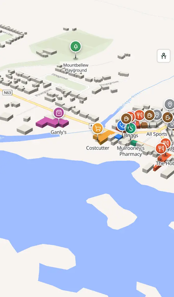
- 1,263 buildings, 14 streets, 100 places in 37 kinds
- Read more
- Mountbellew on Wikipedia
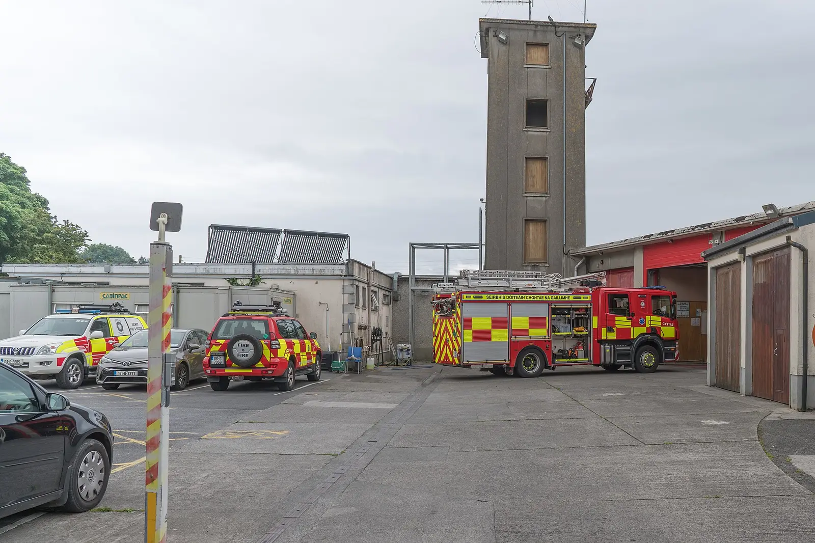
William Murphy, CC BY-SA 2.0 via Wikimedia Commons

Sarah777, public domain via Wikimedia Commons

John Healy, CC BY-SA 2.0 via Wikimedia Commons

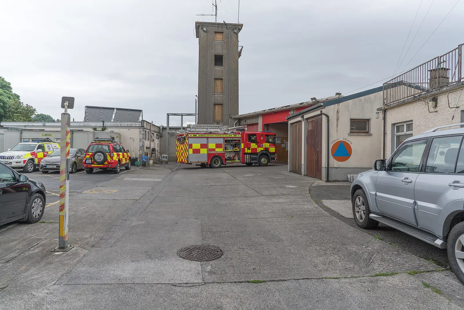
William Murphy, CC BY-SA 2.0 via Wikimedia Commons

A short history
- 18th and 19th centuriesThe Grattan-Bellews. The Bellew estate was the home of the Grattan-Bellew family, Galway parliamentarians in both centuries; the town, once called Creggaun, the rocky place, grew at its gate.
- 1818The Franciscan Brothers. The order came from Milltown in Dublin at the Bellews' invitation, with land and a house, and ran a free primary school until 1884, then a boarding secondary school from 1875.
- 19th centuryThe Tuesday market. Christopher Dillon Bellew promoted the market that is still held in the triangular square every Tuesday; the old weigh-house across from it became a garage in the 1900s and is being redeveloped.
- 1904The agricultural college. The Brothers turned from secondary to agricultural education and founded the first agricultural college in Ireland; from 1986 it worked with the forerunner of GMIT, and since 2022 it is a campus of the Atlantic Technological University.
- 1964 to 2021Five senior titles. Mountbellew Moylough, in black and amber, won the Galway senior football championship in 1964, 1965, 1974, 1986 and 2021.
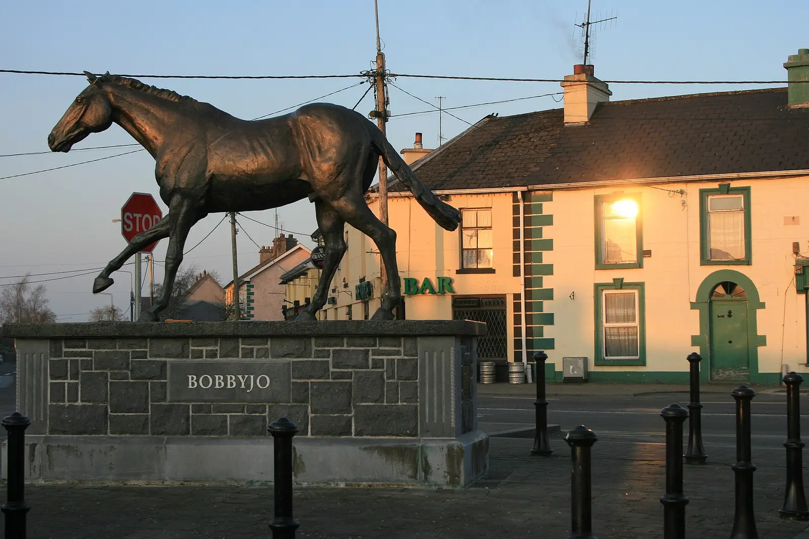
- 1999Bobbyjo. A monument in the centre honours the racehorse that won both the Irish and the English Grand National.
What to see
- The Bellew demesne4.1 km
The estate woodland, now forest walks and picnic places, with its man-made pleasure lake.
- The old forge623 m
The forge kept as a museum, 600 m from the square.
- The malt house
The old malt house, whose name a restaurant now carries.
- St Mary's617 m
The Catholic church of the town.
- The bridge
The village bridge with a milestone set into the middle of its parapet.
- Ballinlass3.7 km
The memorial to the eviction of 1846, 3.7 km out.
Questions people ask
Where is Mountbellew?
What is the population of Mountbellew?
What is there in Mountbellew?
What is Mountbellew known for?
Getting around
Mountbellew sits on the N63 between Galway and Roscommon. 2 bus stops and 1 car park are on the map.
History, sights and civic facts summarise Wikipedia, "Mountbellew" (CC BY-SA 4.0, read 2026-09-19). Population is the CSO census as listed there. Distances and everything on the model are OpenStreetMap.