About Oranmore
Oranmore is a town in County Galway, 8 km east of Galway city, with 5,819 people at the 2022 census. The great spring on an inlet of Galway Bay, a Clanricarde tower house, a church turned library, and the Galway Shawl's own town.
- Population
- 5,819 (2022 census)
- Where
- 8 km from Galway, 177 km from Dublin
- Position
- 53.2684° N, 8.9284° W, 7 m above sea level
- In Irish
- Órán Mór
- On the model
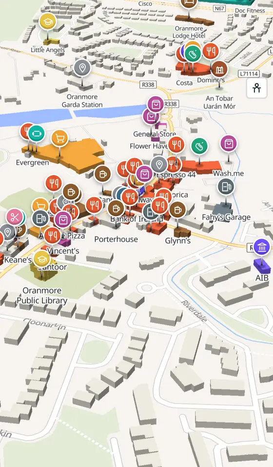
- 2,481 buildings, 51 streets, 262 places in 63 kinds
- Read more
- Oranmore on Wikipedia
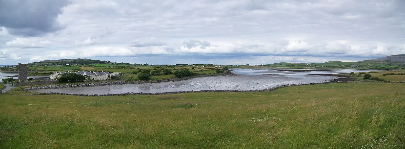
Einaz80, CC BY-SA 4.0 via Wikimedia Commons

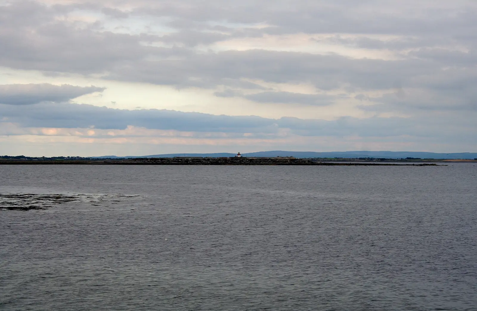
Andrew Wood, CC BY-SA 2.0 via Wikimedia Commons

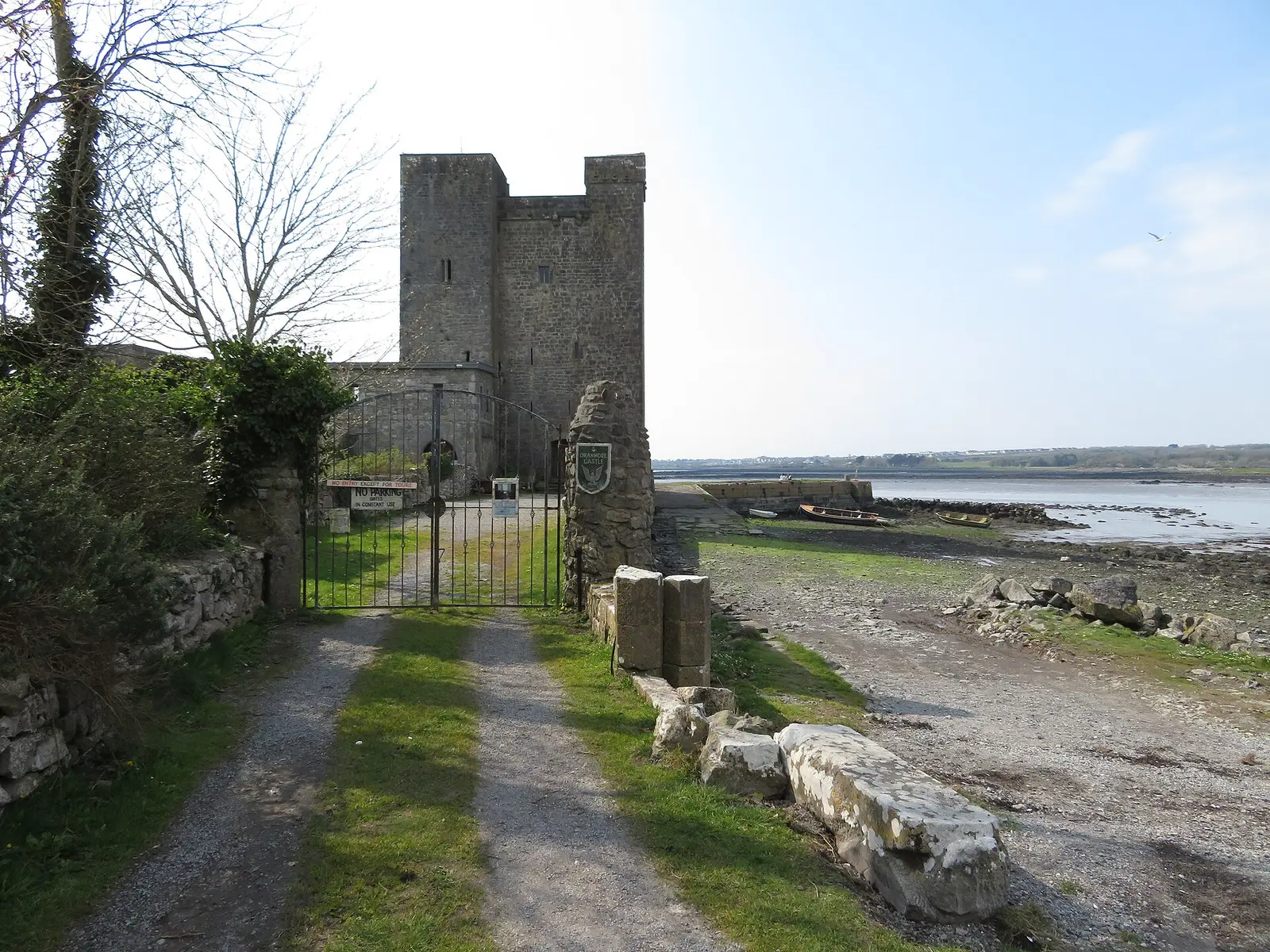
Gareth James, CC BY-SA 2.0 via Wikimedia Commons

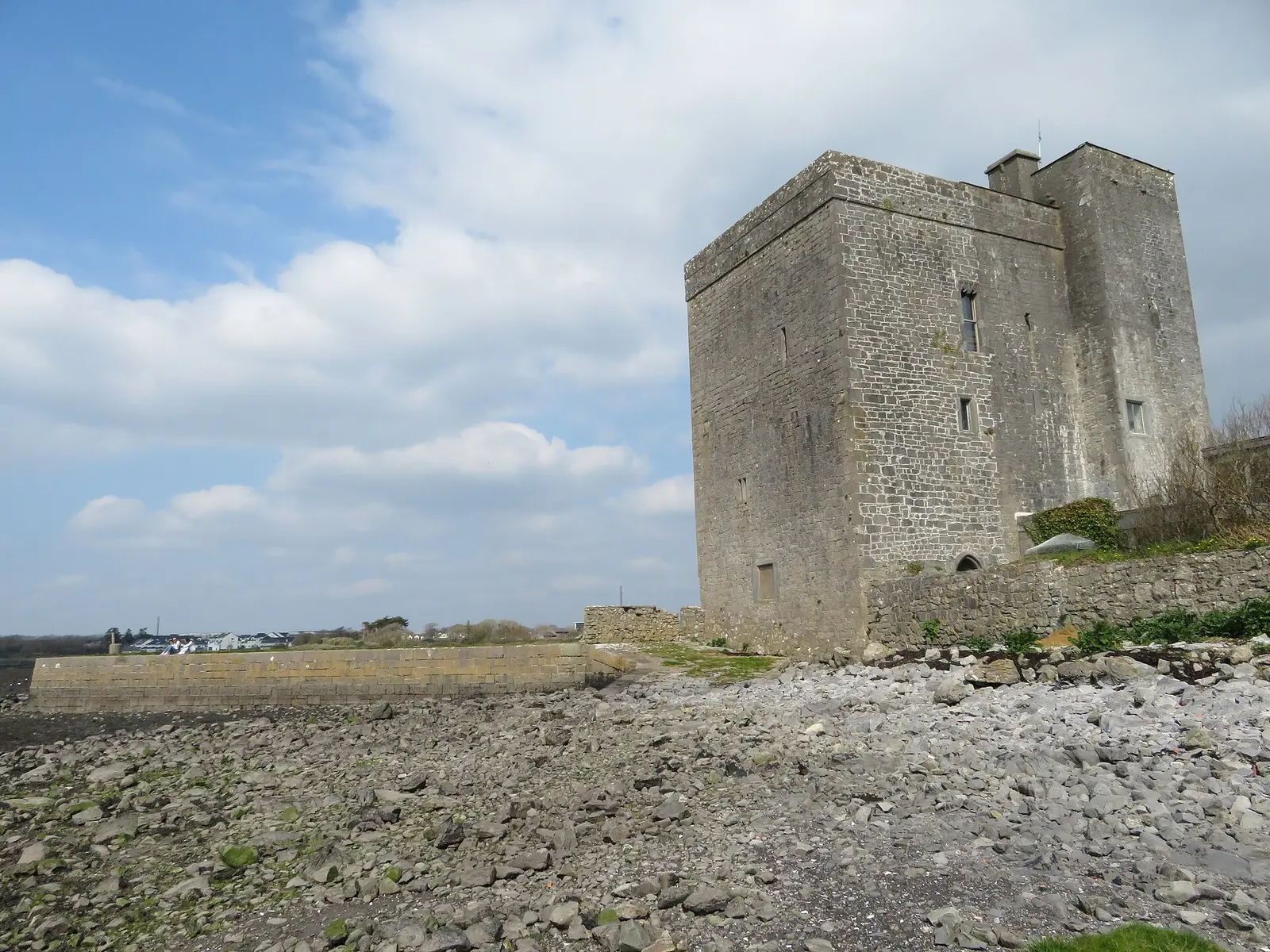
Gareth James, CC BY-SA 2.0 via Wikimedia Commons

A short history
- PrehistoryFairy forts and cooking pits. Fulachtaí fia at Frenchfort, ringforts at Rinn and a megalithic structure at Garraun South show people here long before the town; Griffith's Valuation of 1857 still mapped several of the forts.
- 13th centuryThe old church. The ruined church by the graveyard is one of the oldest buildings in the town, believed to date from the thirteenth century, within a century and a half of the Norman landing of 1169.
- 1803St Mary's. St Mary's church, finished in 1803 with a bell-cote over the door and an elaborate ceiling, served the parish until 1972, when the larger Church of the Immaculate Conception replaced it.
- 1914 to 1918The aerodrome. Oranmore aerodrome was a Royal Air Force base in the First World War, and later a civil airfield for Galway.
- 1933 and 2019Hurling. Oranmore-Maree won the Galway senior hurling championship in 1933 and the All-Ireland intermediate club championship in 2019.
- 20225,819 people. Nine kilometres east of Galway on an inlet of the bay, the town counted 5,819 people at the 2022 census; farming has given way to tourism, manufacturing and logistics.
What to see
- Oranmore Castle456 m
The Clanricarde tower house of about the fifteenth century at the head of the inlet, once the home of the sailor Bill King.
- The old church and graveyard
The thirteenth-century ruin whose north wall is part of the graveyard enclosure, with a Celtic cross dated 1661 and the sisters' plot.
- St Mary's, the library
The church of 1803 with its bell-cote and ceiling, the parish church until 1972 and the town library since.
The park and woods on the bay south of the town, with Rinville Castle, Galway Bay Sailing Club and the golf resort beside them.
- An Tobar, Uarán Mór463 m
The great spring the town is named for.
- Roscam3.8 km
The early church site and folly on the shore towards the city.
Questions people ask
Where is Oranmore?
What is the population of Oranmore?
What is there in Oranmore?
What is Oranmore known for?
What is the history of Oranmore?
Getting around
Oranmore sits on the R338, the old N6, with the M6 at Doughiska and Rathmorrissey and the M18 close by. 3 bus stops and 0 car parks are on the map.
History, sights and civic facts summarise Wikipedia, "Oranmore" (CC BY-SA 4.0, read 2026-09-19). Population is the CSO census as listed there. Distances and everything on the model are OpenStreetMap.