Aughnanure Castle
Just off the N59 outside Oughterard, on the shore of Lough Corrib, the O'Flahertys' tower stands six storeys high in a field of yews. Aughnanure, Achadh na nIúr, the field of the yews, is one of more than two hundred tower houses in County Galway and the only intact medieval castle in Connemara that you can walk through. It was built in the late fifteenth century and put back together in the 1960s.
Checked against the source on 2026-09-19.
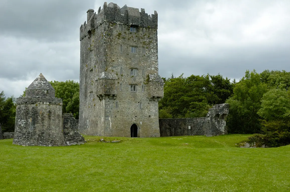
Christophe Meneboeuf, CC BY-SA 3.0 via Wikimedia Commons

Aughnanure Castle on the 3D model; tap a pin for its page and directions.
The O'Flahertys' stronghold
The Ó Flaithbheartaigh were among the great Gaelic lordly families of Connacht, and this was their seat by the lake, on ground that once carried a yew forest stretching half the way to Galway. Most of the county's tower houses, built by Gaelic and Anglo-Norman landowners alike, are ruins; Aughnanure survived to be restored, and today it opens to visitors from March to November.
What you see
The tower itself has crenellations, machicolations, bartizans on the corners and carved water spouts. Around it is an unusual double bawn, two walled enclosures, with a round watchtower that has no equal elsewhere, docks where boats came in from the lake, and the ruin of a banqueting hall whose window carvings are the finest thing on the site. Oughterard's centre is three kilometres away; the model on this page pins the castle and the road in.
Questions people ask
Who built Aughnanure Castle?
When is Aughnanure Castle open?
What does Aughnanure mean?
Written from Wikipedia, "Aughnanure Castle" (CC BY-SA 4.0), read on 2026-09-19, and from the OpenStreetMap places on the model. Nothing has been added from memory; follow the source for its footnotes.