The N65, N67 and N63 roads
Portumna's road to the rest of the county is the N65, which crosses the Shannon on the town's bridge from Borrisokane in Tipperary and runs 52.5 kilometres to the M6 north of Loughrea. Two other secondary roads matter to the south and east of the county: the N67 along the coast from Galway through Kinvara into Clare and down to the Shannon ferry, and the N63 from the M17 through Mountbellew towards Roscommon and Longford.
Checked against the source on 2026-09-19.
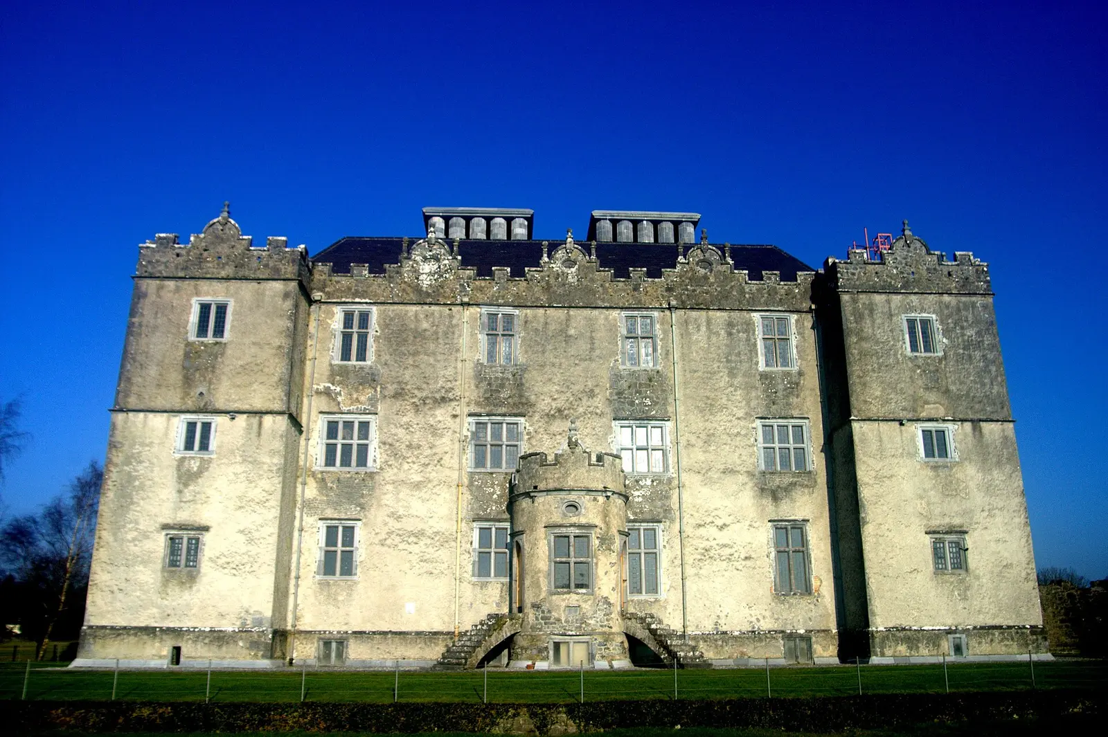
No machine-readable author provided. Bogman assumed (based on copyright claims)., CC BY 2.5 via Wikimedia Commons

Portumna Castle, Portumna Castle and Gardens on the 3D model; tap a pin for its page and directions.
The three roads
The N65 links the N52 at Borrisokane to the M6, crossing the Shannon at Portumna bridge on the way. The N67 leaves Galway through Oranmore, Clarinbridge and Kinvara, rounds the Burren by Ballyvaughan, Lisdoonvarna, Ennistymon and Lahinch, follows the Clare coast through Milltown Malbay, Quilty, Doonbeg, Kilkee and Kilrush to Killimer, where the Shannon Ferry carries cars to Tarbert in Kerry. The N63 starts at the M17 ten kilometres north-east of Galway, passes through Mountbellew and Roscommon town, crosses the Shannon at Lanesborough and meets the N5 at Longford, 96.4 km in all. The model on this page pins Portumna's castle and bridge end; the Lough Derg guide covers the river the N65 crosses.
Questions people ask
Which road crosses the Shannon at Portumna?
Which road goes from Galway to Kinvara and the Burren?
Where does the N63 go?
Written from Wikipedia, "N65 road (Ireland)" (CC BY-SA 4.0), read on 2026-09-19, and from the OpenStreetMap places on the model. Nothing has been added from memory; follow the source for its footnotes.