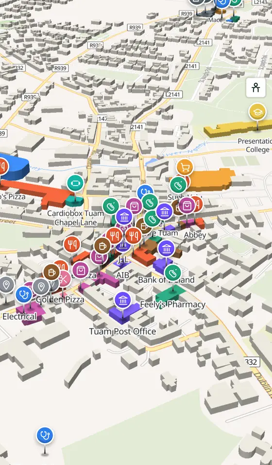
Tuam, street by street
The mound of two shoulders, a monastery, a market square laid out in 1613, and every building of the town it became.
Tuam is a town of 9,647 people, 30 km north-east of Galway city. This page is a working model of it: every one of its 6,657 buildings stands on the map above, and 223 shops, cafés, schools, churches and services have a page each, with the street, the hours where recorded, the nearest bus stop and car park, and a plan of the streets around it. Everything comes from open map data and says so.
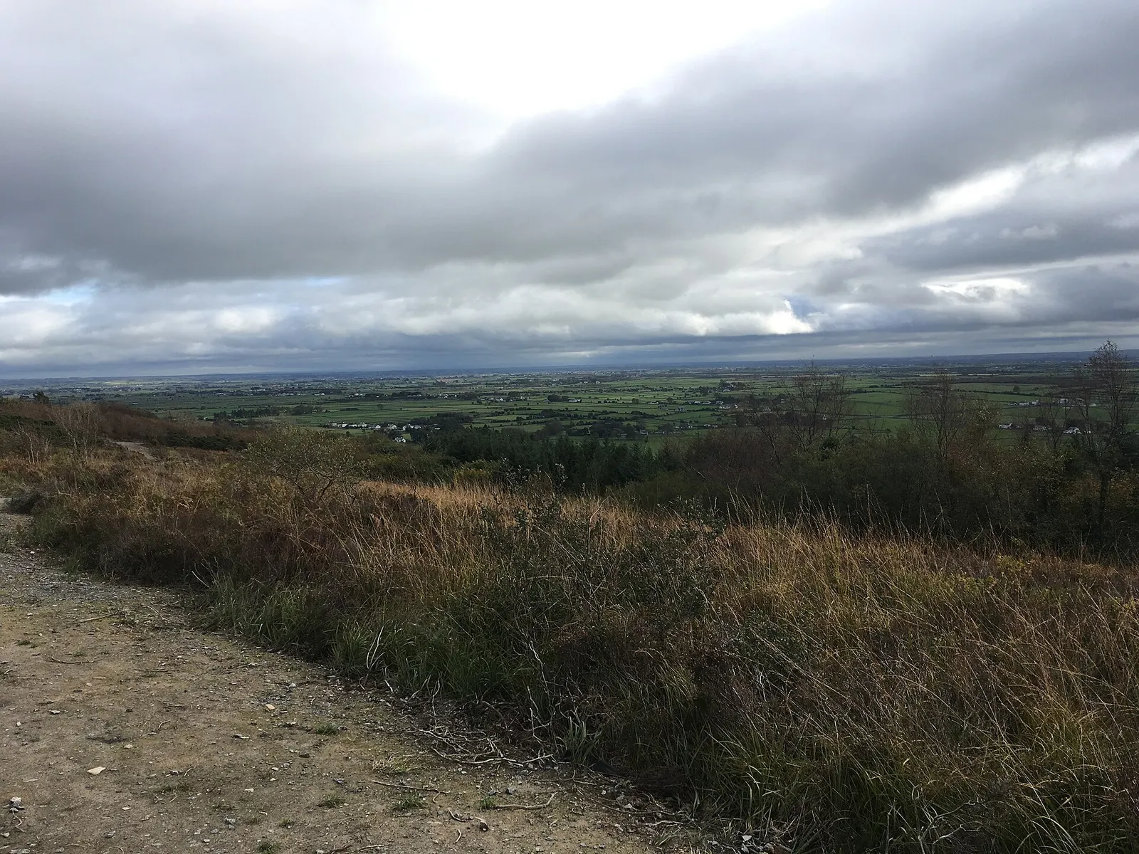
Live forecast for the centre, hour by hour and the week ahead.
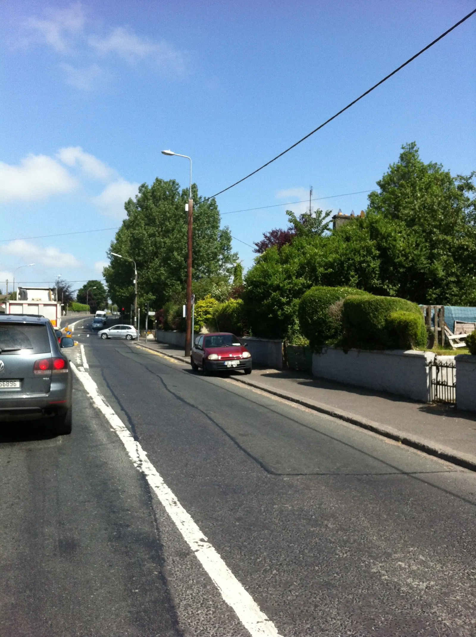
30 km from Galway, 44 km from Knock, 6 bus stops, 5 car parks.
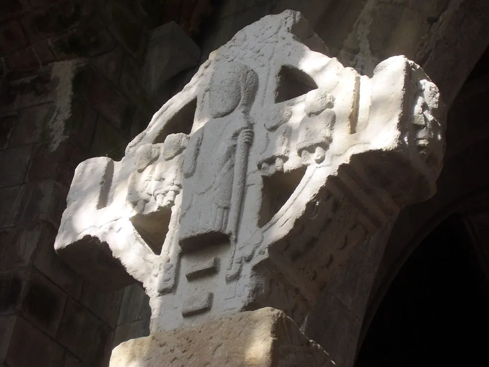
Two cathedrals, the High Cross, the Mill Museum, castles, the market, football and golf.
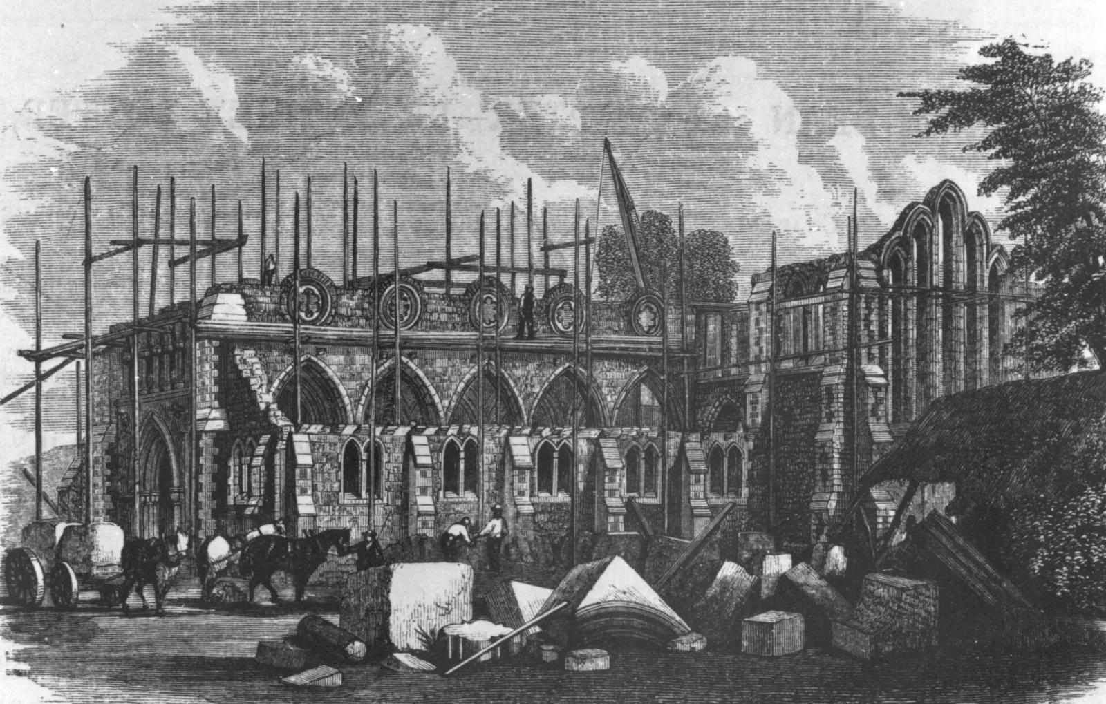
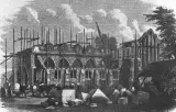
Jarlath's monastery, the high kings, Ireland's first stone castle, the 1613 square, the railway.
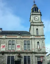
Population 9,647 at the 2022 census, where it is, what is here.
What is in Tuam
13 restaurants, 4 pubs, 13 shops, 2 hairdressers and beauty and 11 supermarkets and more, by kind. Each kind has a page listing every one, closest to the Square first.
- Restaurants13
- Pubs4
- Shops13
- Hairdressers and beauty2
- Supermarkets11
- Pharmacies9
- Doctors13
- Schools9
- Banks6
- Petrol18
- Gyms and sport12
- Hotels2
- Churches11
- Parks and views10
- Castles and heritage78
Guides to Tuam
All 15 guides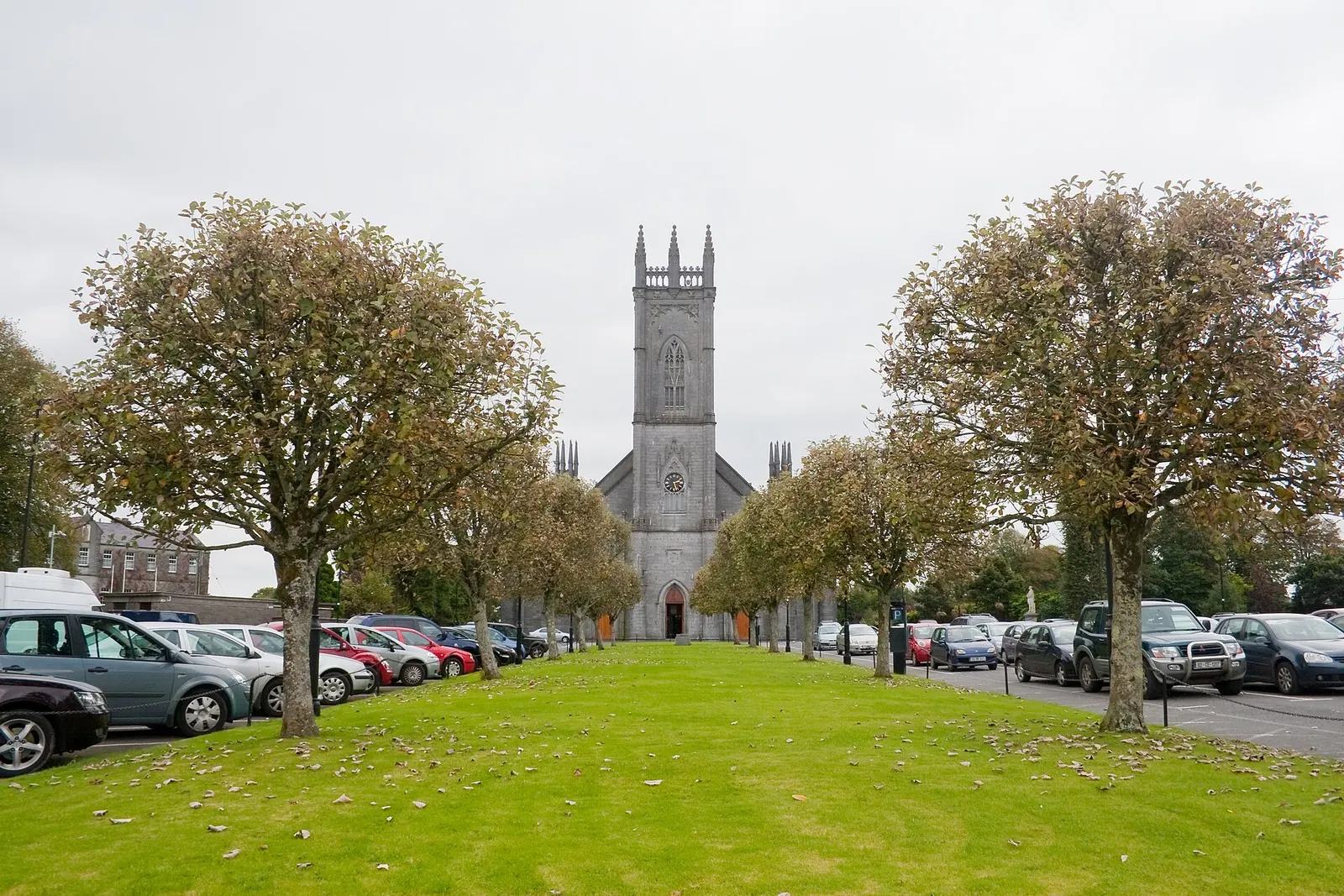
The Cathedral of the Assumption of the Blessed Virgin Mary is the Roman Catholic cathedral of the Archdiocese of Tuam, which covers half…
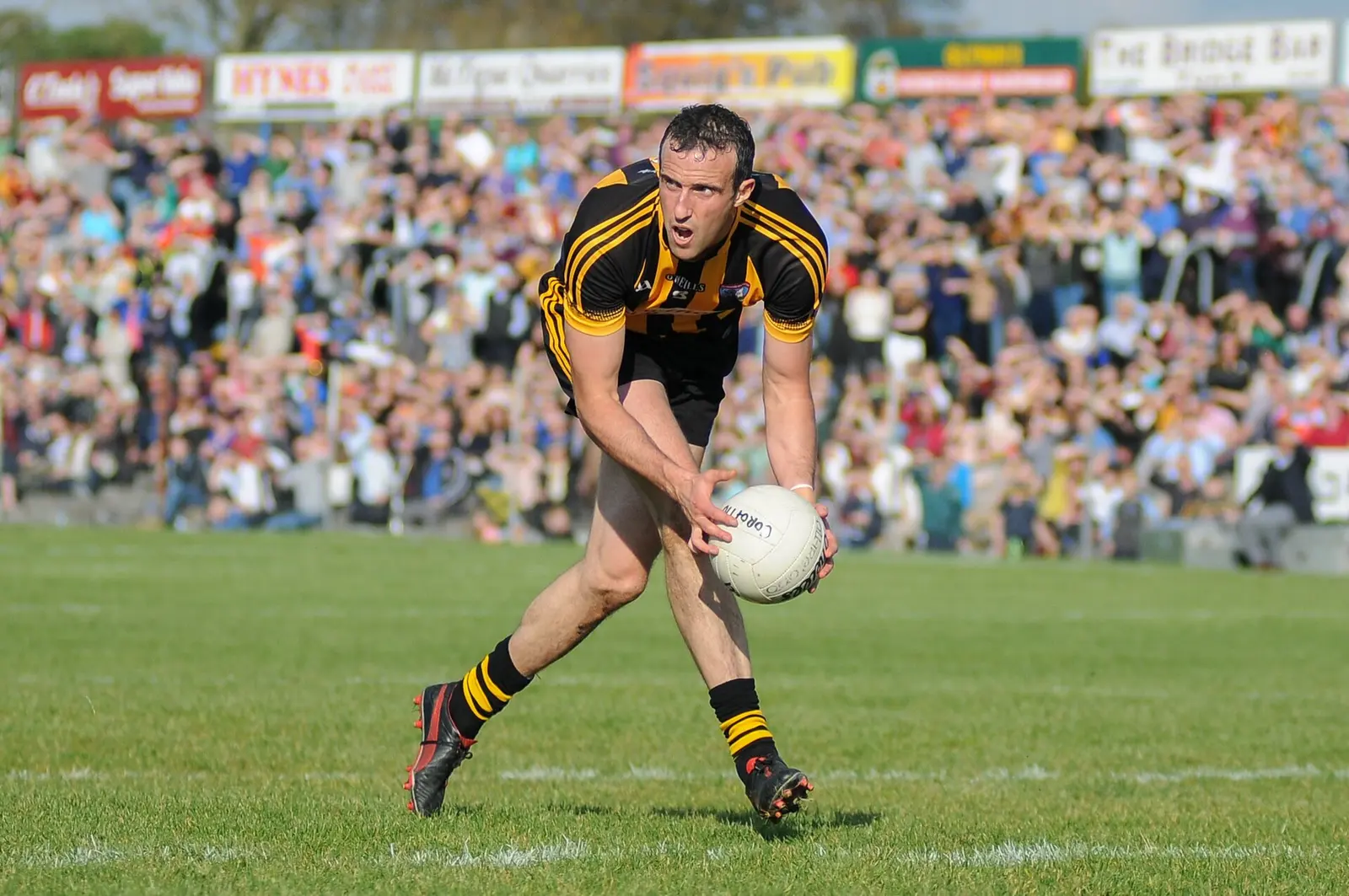
Tuam Stadium, St Jarlath's Park, is one of the main grounds of Galway's footballers: blessed and opened by Archbishop Walsh on 21 May…
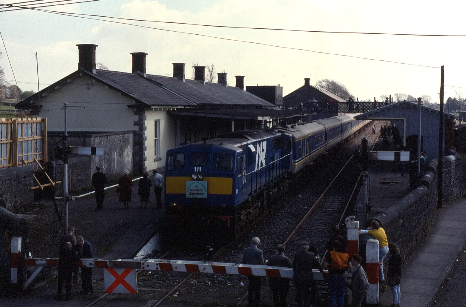
Tuam railway station opened in 1860 on the Waterford, Limerick and Western line from Limerick to Sligo, the only station between Athenry…
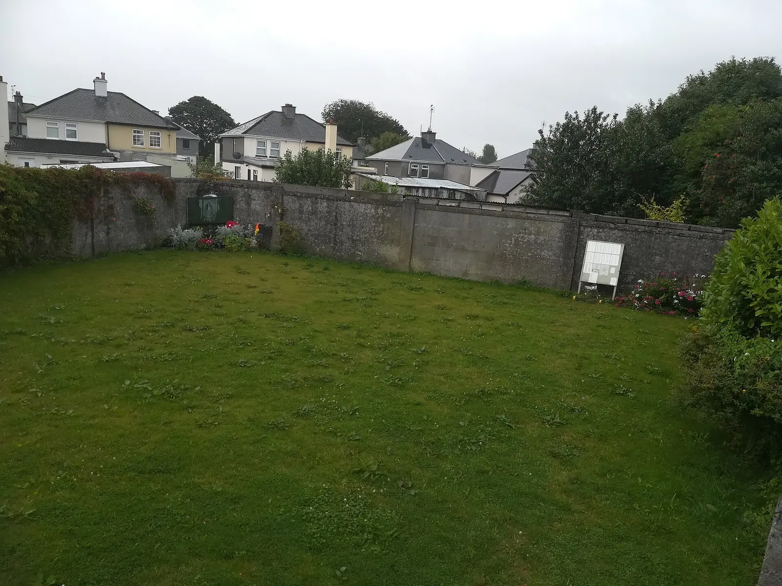
The Bon Secours Mother and Baby Home, St Mary's, ran in Tuam from 1925 to 1961 in the old workhouse of 1846, for Galway County Council:…
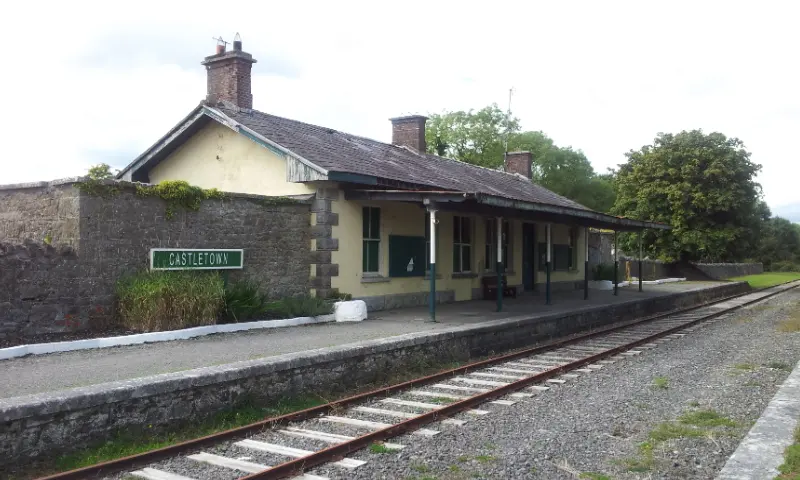
Ballyglunin railway station near Tuam, opened in 1860 by the Waterford, Limerick and Western Railway on the Limerick to Claremorris…
The N17 begins at the Kilmore Roundabout in Tuam and runs 95 km north through Milltown, Claremorris, Knock and Tubbercurry to Collooney…
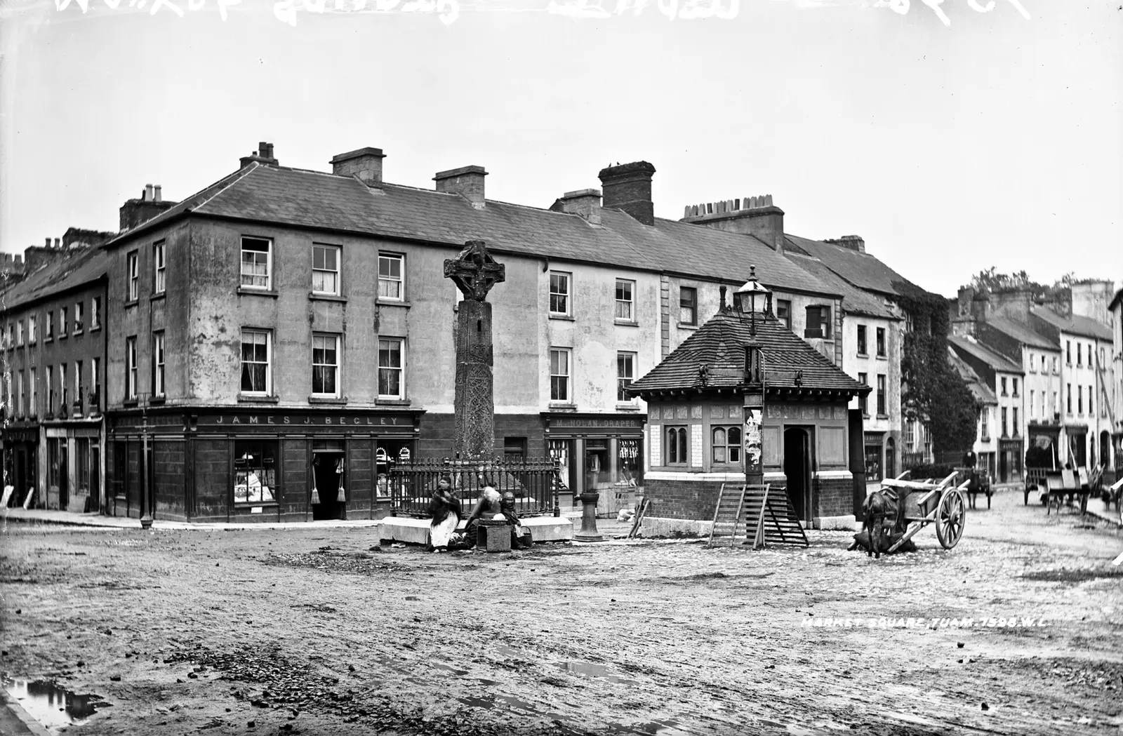
Robert French, no restrictions via Wikimedia Commons
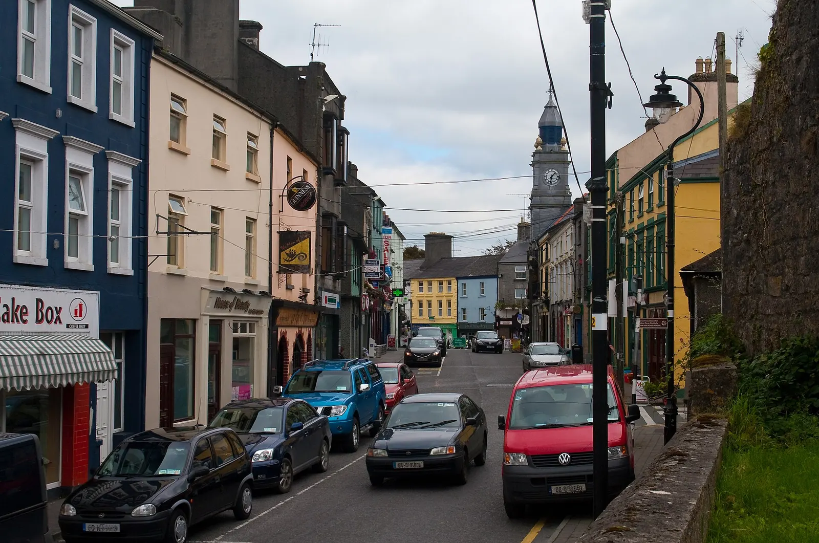


Where to eat in Tuam
17 cafés, restaurants, takeaways and pubs on the map, 12 of them within 300 m of the Square. 4 have hours on record.
- Krugers BarBars · The Square
- Supermac'sTakeaways · The Square
- The Galway RoastCafés · Vicar Street
- McGinty'sPubs · The Square
- AbbeyCafés · The Square
- The Sportsman's InnPubs · Vicar Street
- Apache PizzaTakeaways · The Shambles
- Leaf and BeanCafés
Restaurants · Cafés · Takeaways · Pubs
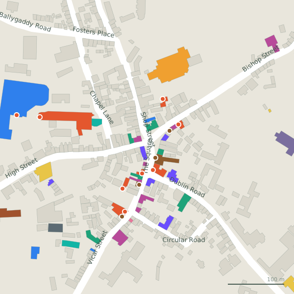
Every place to eat and drink as a pin; tap one for its page and directions.
Street by street
All 76 streets- Vicar Street18 placesregional road R332 · 312 m
- The Square12 placesregional road R923 · 101 m
- Dublin Road11 placesregional road R332 · 3.9 km
- Galway Road11 placesnational road N83 · 2.8 km
- High Street6 placesregional road R923 · 374 m
- Bishop Street4 placesregional road R923 · 326 m
- Milltown Road4 placesregional road R939 · 2.7 km
- Ballygaddy Road3 placesregional road R332 · 2.3 km
- Dunmore Road3 placesregional road R923 · 1.1 km
- N17 Plaza3 placesroad · 296 m
Things to see around Tuam
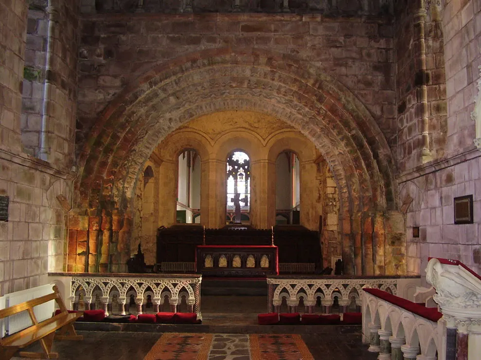
ClintMalpaso, CC BY-SA 3.0 via Wikimedia Commons

Andreas F. Borchert, CC BY-SA 4.0 via Wikimedia Commons

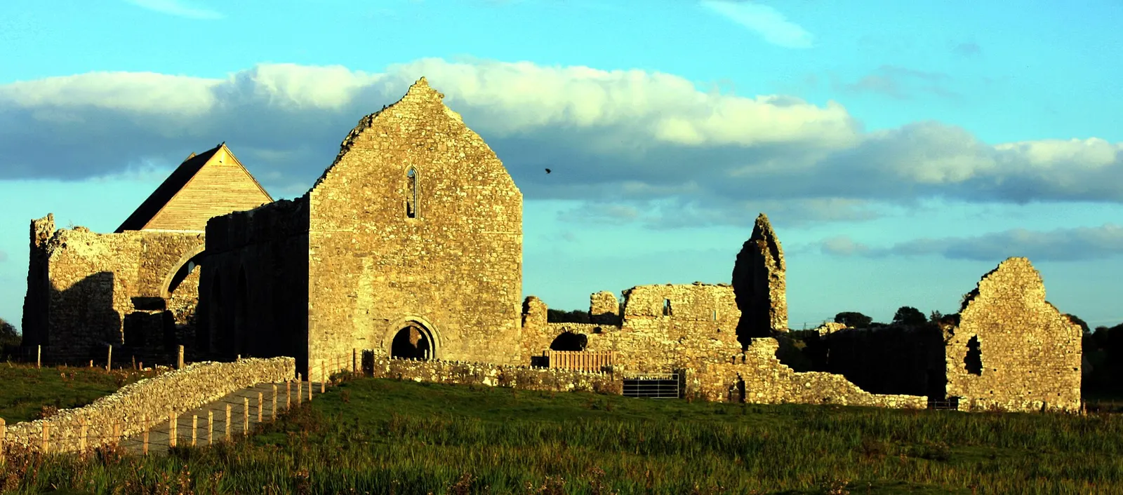
DanielecDalton, CC BY-SA 4.0 via Wikimedia Commons

Castles, abbeys, old churches, beaches, viewpoints and parks within 12 km, closest first, plus 47 ringforts and ancient sites and 13 holy wells on their own pages.
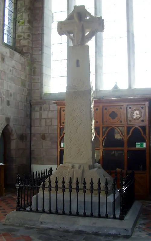
- Tuam High CrossHigh crosses · 297 m
- The ParkParks · 481 m
- Ballygaddy HouseHistoric houses · 2.7 km
- Ballinderry CastleCastles · 5.8 km
- Castletown HouseHistoric houses · 5.9 km
- Castlemoyle HouseHistoric houses · 6.2 km
- Doonbeg FortRuins · 7.2 km
- LougharlaureenLakes · 7.7 km
- Fartamore Castle (ruins)Castles · 8.1 km
Castles · Ringforts · Holy wells · Hotels
Tuam in pictures
Photographs of the place and the country around it, each from an open archive and credited to the person who took it.
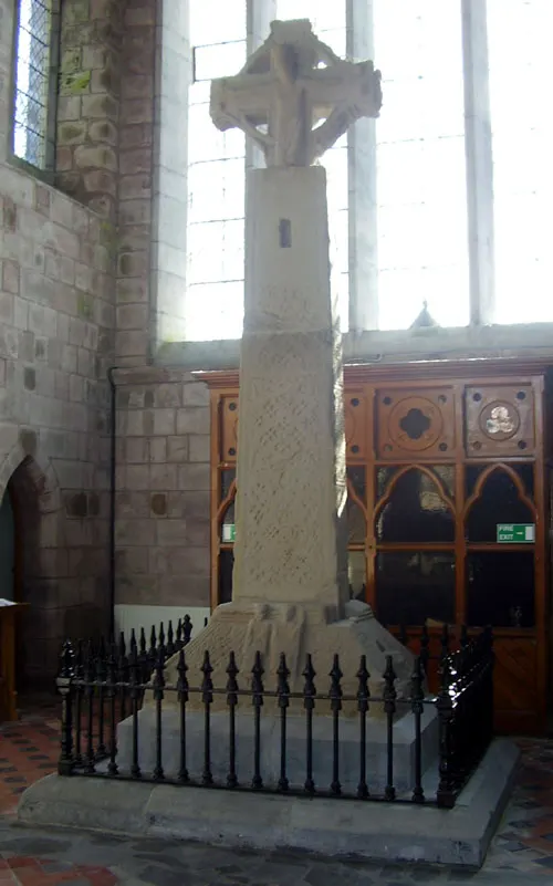
ClintMalpaso, CC BY-SA 3.0 via Wikimedia Commons

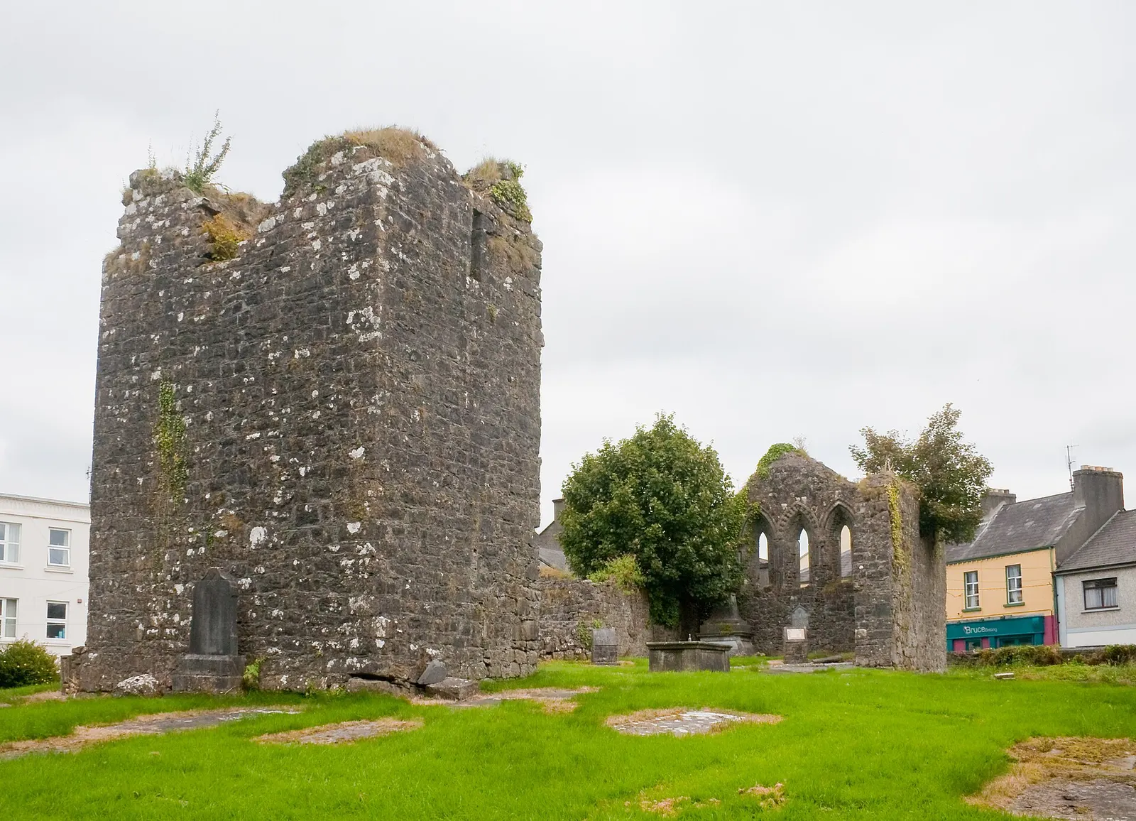
Andreas F. Borchert, CC BY-SA 4.0 via Wikimedia Commons

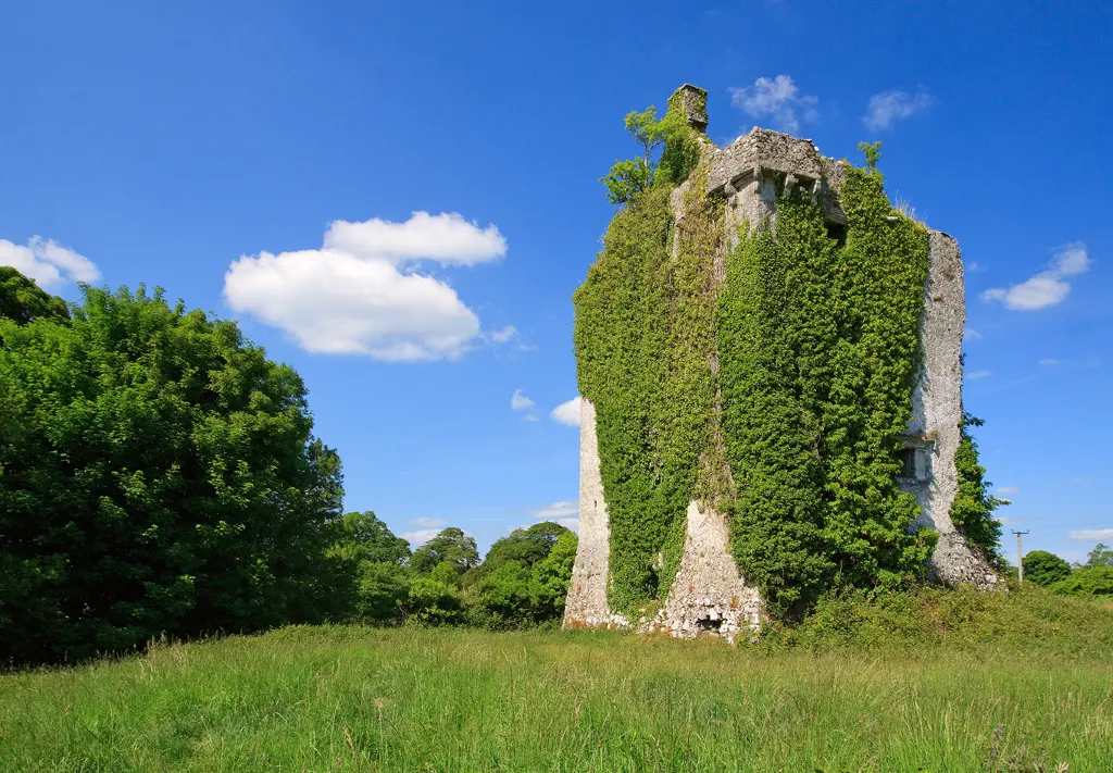
Mike Searle, CC BY-SA 2.0 via Wikimedia Commons

Jeoun, CC BY-SA 4.0 via Wikimedia Commons

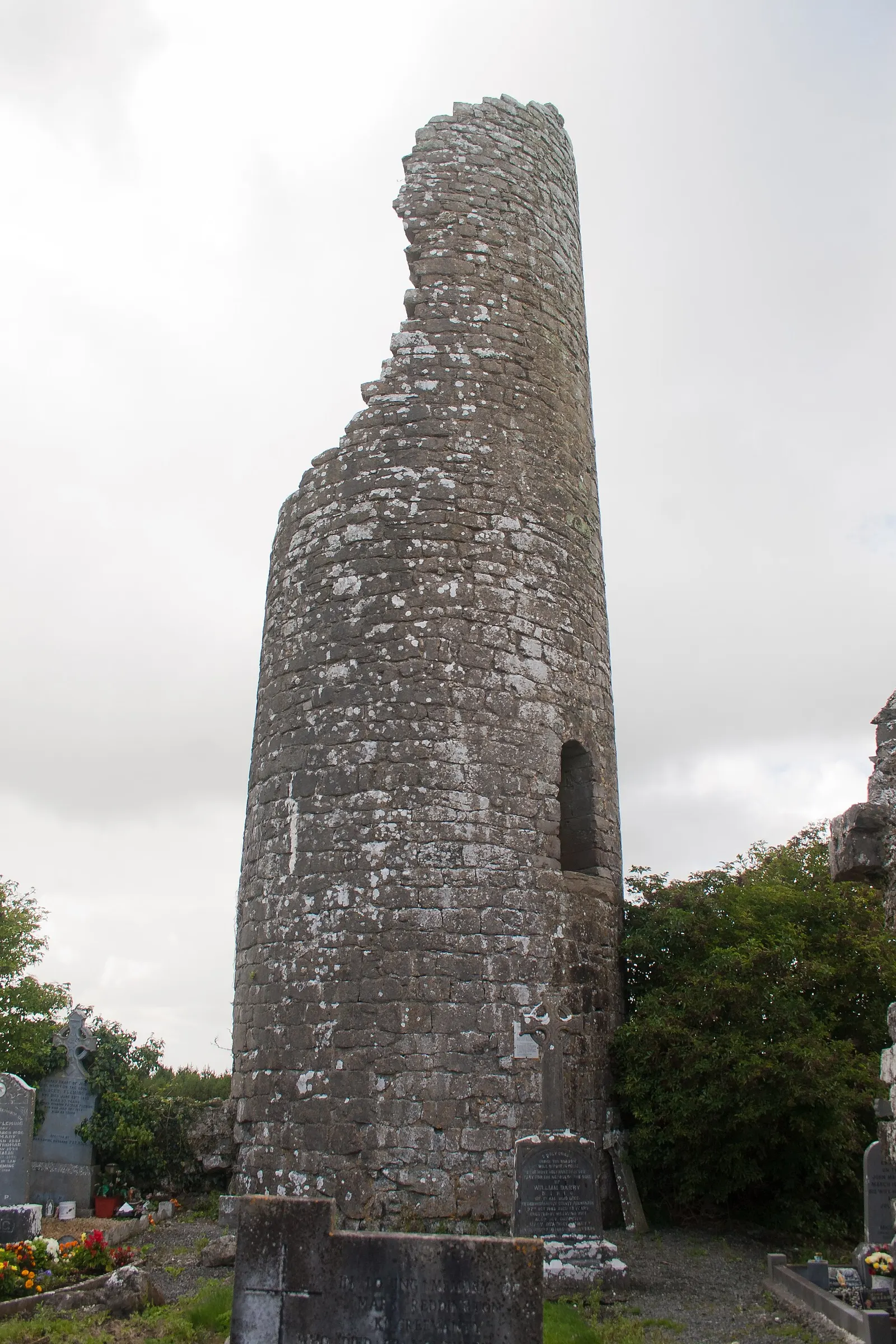
Andreas F. Borchert, CC BY-SA 4.0 via Wikimedia Commons

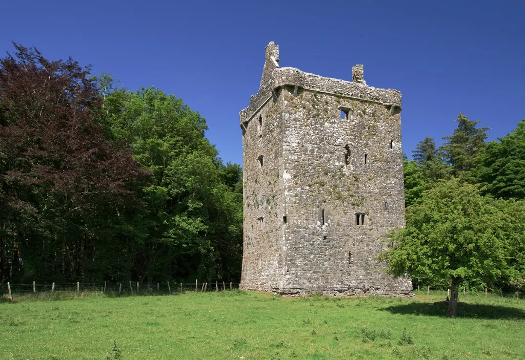
Mike Searle, CC BY-SA 2.0 via Wikimedia Commons

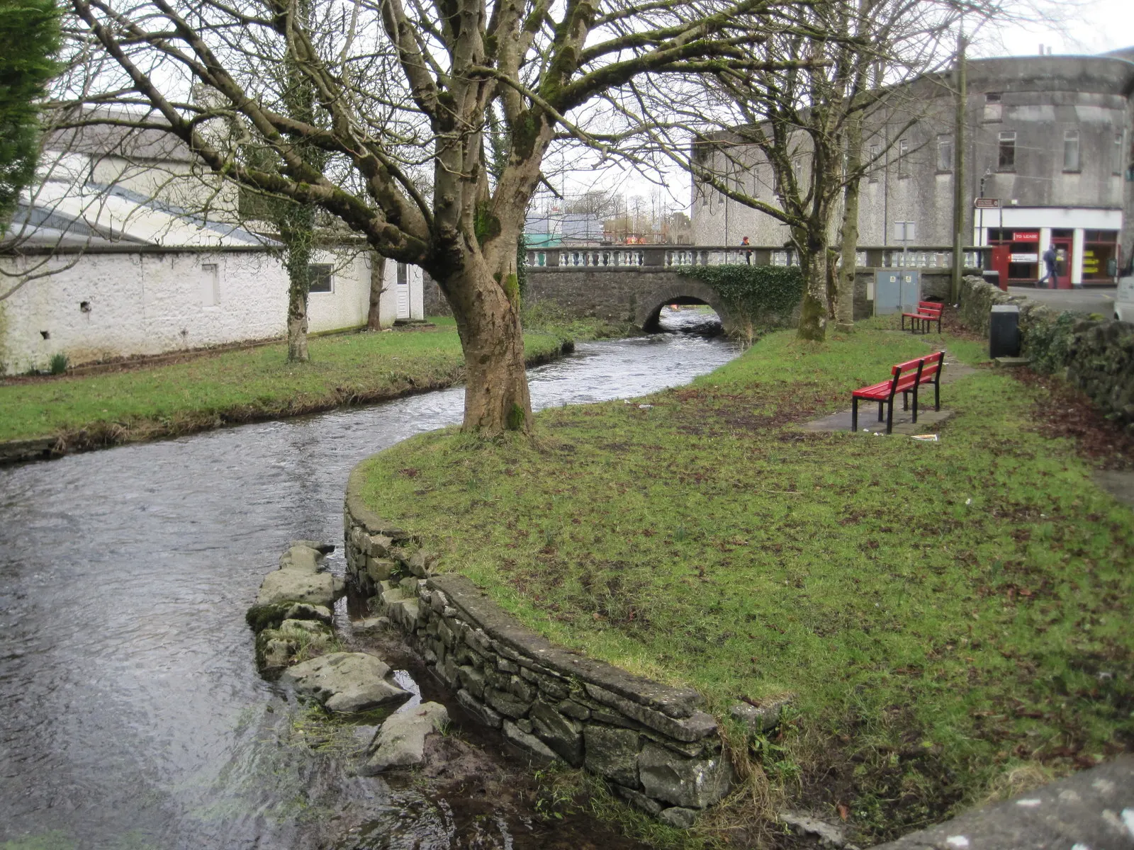
Nigel Thompson, CC BY-SA 2.0 via Wikimedia Commons

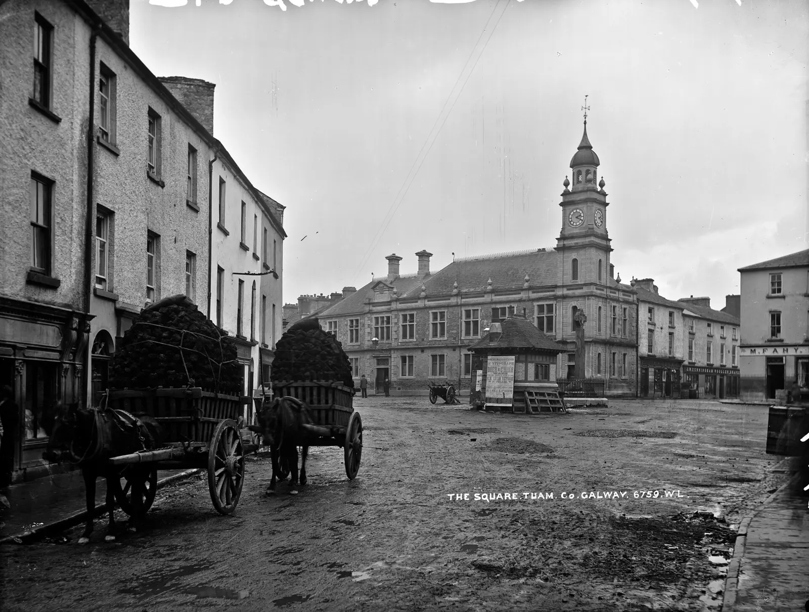
Robert French, public domain via Wikimedia Commons

Questions people ask
Where is Tuam?
What is the population of Tuam?
How far is Tuam from Galway?
What is there to do in Tuam?
What is the history of Tuam?
What is the weather like in Tuam today?
How the model is built
The buildings are OpenStreetMap footprints, read on 2026-09-18, stood up to the height the map records or a plain two storeys where it records none. Streets, water and the base map come from the same project through OpenFreeMap. Places are the named shops, services and public buildings on the map; each has its own page.
A building takes the colour of the kind of place inside it: restaurants in red, pharmacies in green, schools in yellow. Nothing is invented to fill a gap: a missing fact is shown as missing, with a link to add it to the map. More about the model.