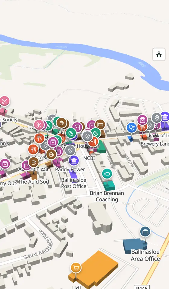
Ballinasloe, street by street
The ford of the crowds on the Suck, a castle, a canal that carried Guinness west, and the oldest horse fair in Europe every October.
Ballinasloe is a town of 6,597 people, 55 km east of Galway city. This page is a working model of it: every one of its 3,496 buildings stands on the map above, and 187 shops, cafés, schools, churches and services have a page each, with the street, the hours where recorded, the nearest bus stop and car park, and a plan of the streets around it. Everything comes from open map data and says so.
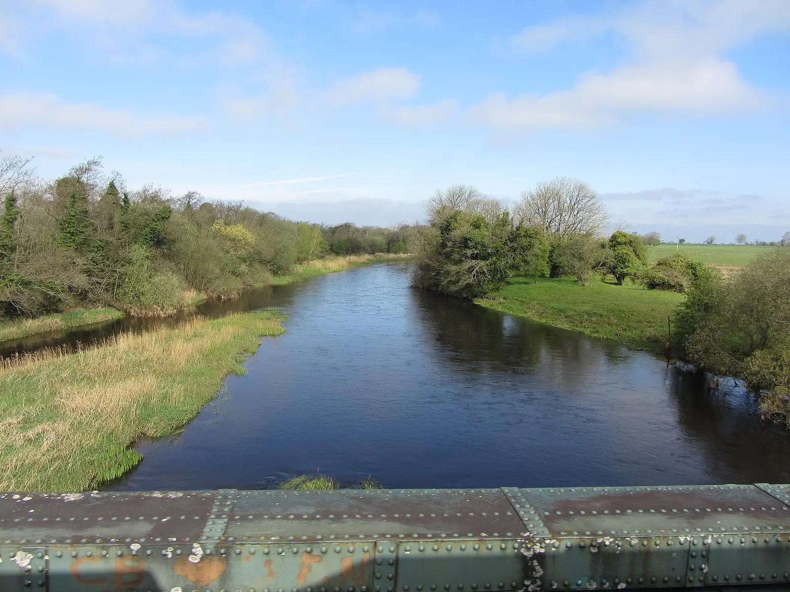
Live forecast for the centre, hour by hour and the week ahead.
55 km from Galway, 76 km from Knock, 6 bus stops, 2 car parks.
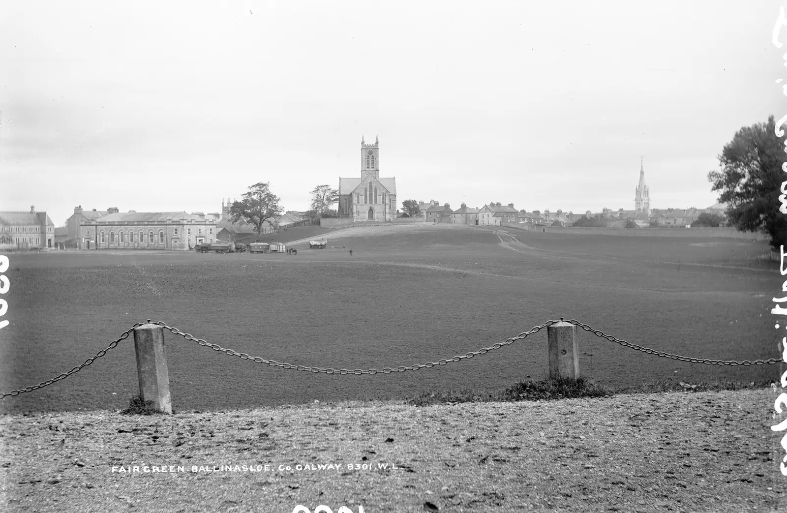
The fair in October, the marina on the Suck, Clontuskert Abbey, the Aughrim battle centre, the Famine park and the Hymany Way.
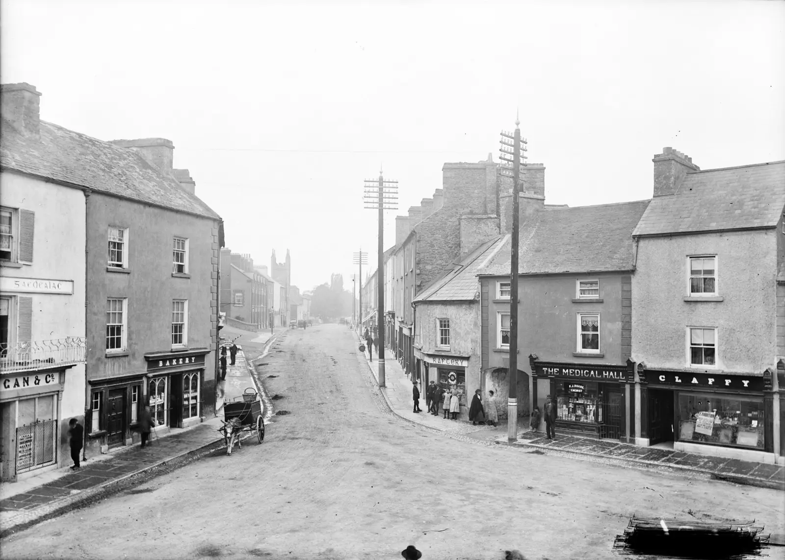
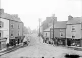
The ford of the crowds, the castle, de Burgh, the fair, the canal, the railway, the workhouse, the floods of 2009.
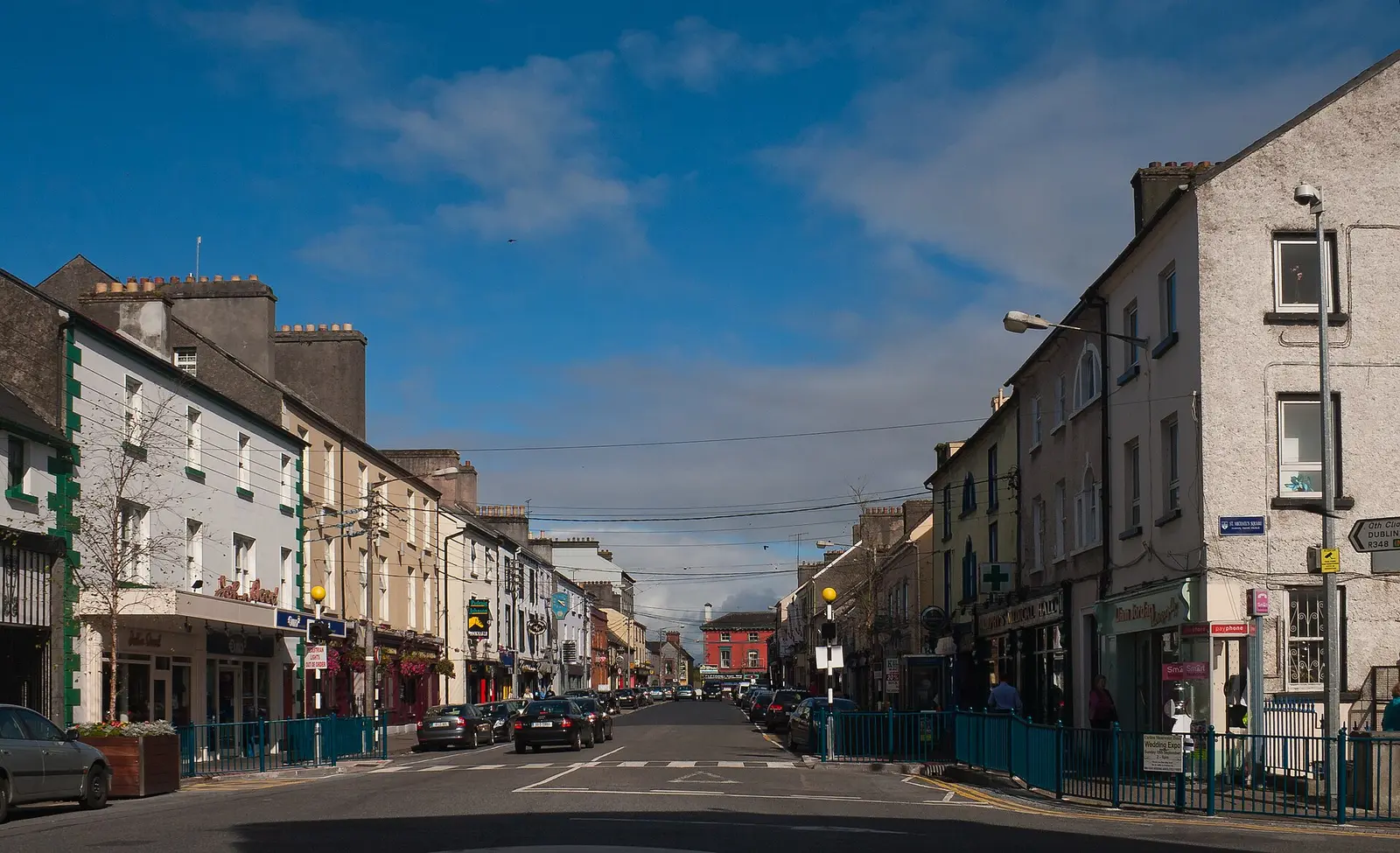
Population 6,597 at the 2022 census, where it is, what is here.
What is in Ballinasloe
11 restaurants, 8 pubs, 16 shops, 2 hairdressers and beauty and 6 supermarkets and more, by kind. Each kind has a page listing every one, closest to the centre first.
- Restaurants11
- Pubs8
- Shops16
- Hairdressers and beauty2
- Supermarkets6
- Pharmacies6
- Doctors4
- Schools4
- Banks3
- Offices and agents1
- Petrol8
- Gyms and sport13
- Hotels3
- Churches6
- Parks and views16
- Castles and heritage56
Guides to Ballinasloe
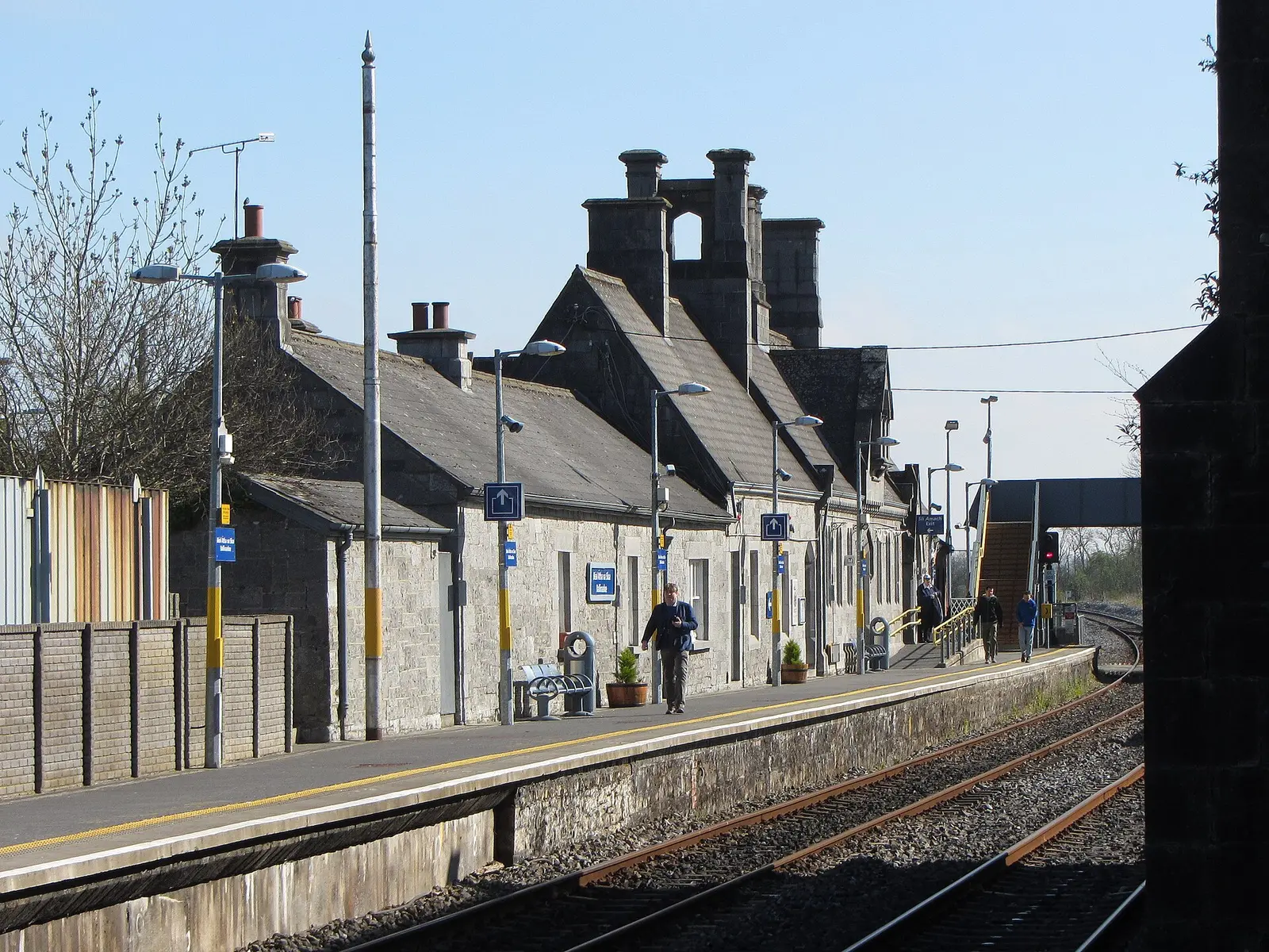
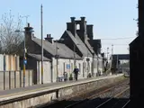
All 6 guidesBallinasloe station, a gabled Tudor-style building by George Wilkinson opened on 1 August 1851, is on the Dublin to Galway line; change…
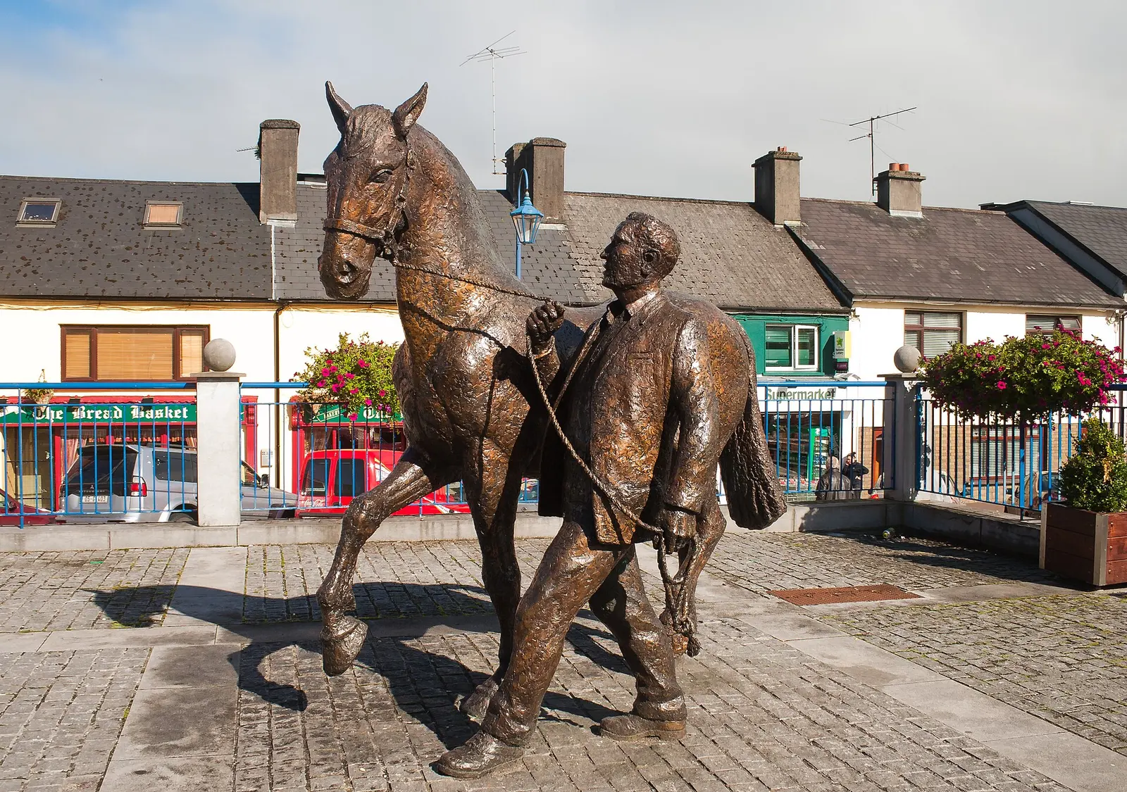
The Ballinasloe Horse Fair, Europe's oldest and largest, runs for seven days from the Sunday before the first Tuesday in October: horses…
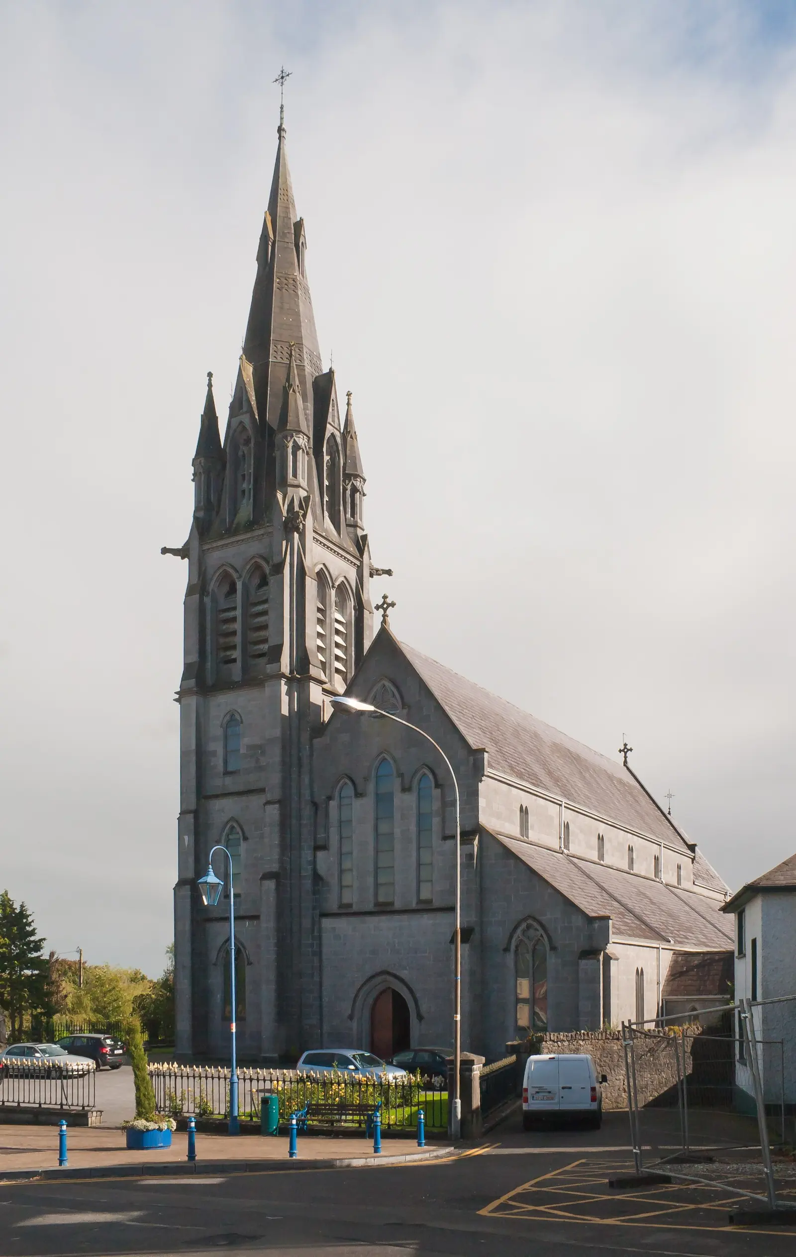
St Michael's, the large limestone Catholic church at the south end of St Michael's Square in Ballinasloe, was designed by J. J. McCarthy…

St Joseph's College, Garbally Park, was Ballinasloe's Catholic boys' secondary school in the former seat of the Earls of Clancarty:…
Woodlawn, opened on 1 August 1858 beside a level crossing on the R359, and Attymon, opened as a junction on 1 December 1890, are the two…
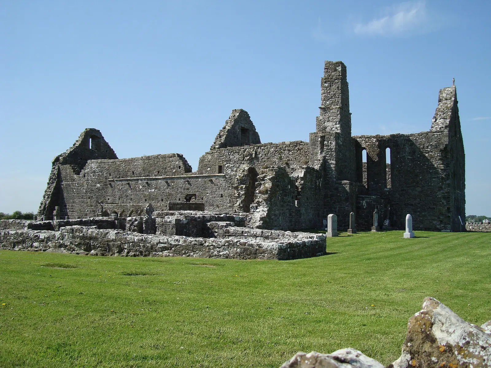
Clontuskert Abbey, the Priory of St Mary of Clontuskert-Hy-Many, 5 km south of Ballinasloe by the Ballinure River, stands on a monastery…
National Library of Ireland on The Commons, no restrictions via Wikimedia Commons

Andreas F. Borchert, CC BY-SA 4.0 via Wikimedia Commons

Where to eat in Ballinasloe
19 cafés, restaurants, takeaways and pubs on the map, 14 of them within 300 m of the centre. 3 have hours on record.
- Corner House BarPubs · Main Street
- FusionRestaurants · Society Street
- The Bread BasketRestaurants · St. Michael's Square
- Good TasteTakeaways · Dunlo Street
- Joe's BarPubs · Society Street
- Ryan'sPubs · Society Street
- Nico'sTakeaways · Dunlo Street
- The Dunlo TavernPubs · Dunlo Street
Restaurants · Cafés · Takeaways · Pubs
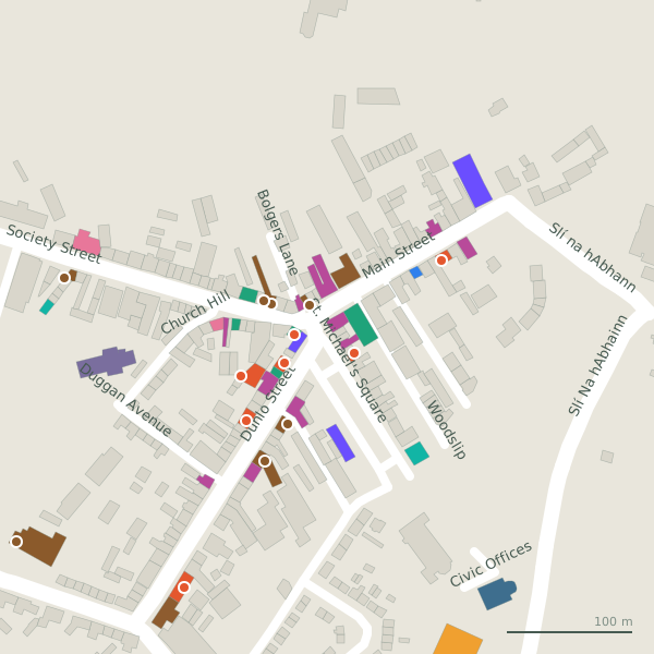
Every place to eat and drink as a pin; tap one for its page and directions.
Street by street
All 37 streets- Society Street17 placesregional road R348 · 412 m
- Dunlo Street16 placesregional road R904 · 286 m
- Main Street11 placesregional road R348 · 184 m
- St. Michael's Square8 placesminor road · 295 m
- Station Road3 placesregional road R358 · 699 m
- Dunlo Hill2 placesregional road R446 · 358 m
- John Dunne Avenue2 placesresidential street · 112 m
- Slí Na hAbhainn2 placesregional road R446 · 546 m
- Ard Mhuire1 placeresidential street · 754 m
- Civic Offices1 placeservice road · 51 m
Things to see around Ballinasloe
Robert French, no restrictions via Wikimedia Commons

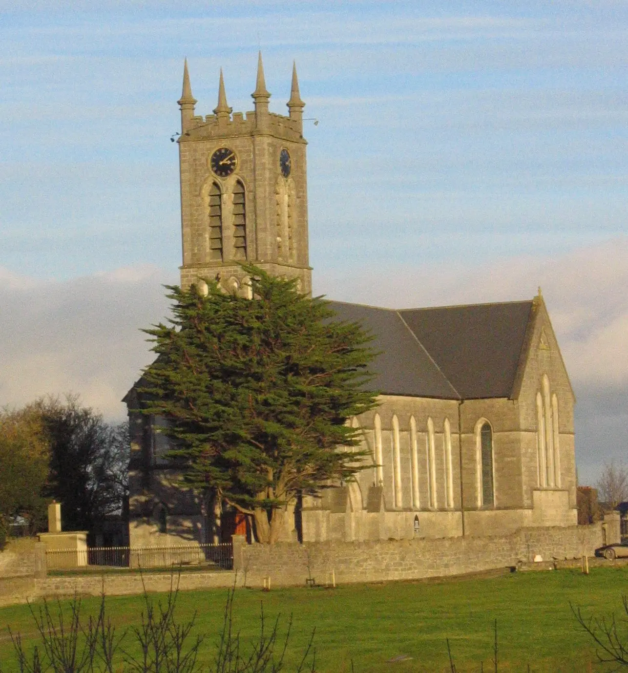
No machine-readable author provided. Tournesol assumed (based on copyright claims)., CC BY-SA 3.0 via Wikimedia Commons

Gareth James, CC BY-SA 2.0 via Wikimedia Commons

Castles, abbeys, old churches, beaches, viewpoints and parks within 12 km, closest first, plus 41 ringforts and ancient sites and 4 holy wells on their own pages.
- West WoodWoods · 3.2 km
- Caher HouseRuins · 4.3 km
- Clontuskert AbbeyAbbeys · 5.3 km
- Lyons' LoughLakes · 6.2 km
- Fairfield LoughLakes · 6.2 km
- Coololla LoughLakes · 6.3 km
- Cranberry LoughLakes · 6.4 km
- Cooke's LoughLakes · 6.4 km
- Killure CastleCastles · 6.5 km
Castles · Ringforts · Holy wells · Hotels
Ballinasloe in pictures
Photographs of the place and the country around it, each from an open archive and credited to the person who took it.
Andreas F. Borchert, CC BY-SA 4.0 via Wikimedia Commons
Robert French, no restrictions via Wikimedia Commons
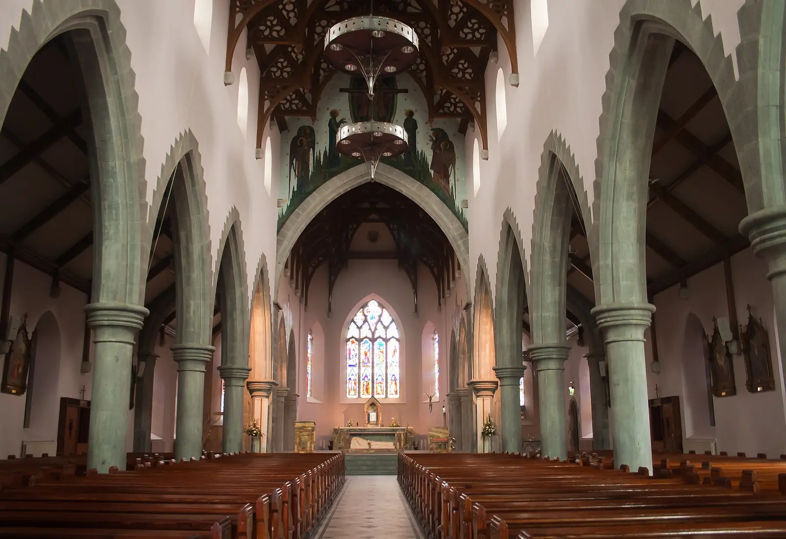
Andreas F. Borchert, CC BY-SA 4.0 via Wikimedia Commons

National Library of Ireland on The Commons, no restrictions via Wikimedia Commons
Gareth James, CC BY-SA 2.0 via Wikimedia Commons
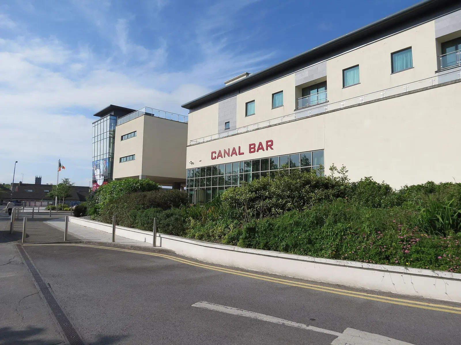
Martin Dawes, CC BY-SA 2.0 via Wikimedia Commons

Gareth James, CC BY-SA 2.0 via Wikimedia Commons

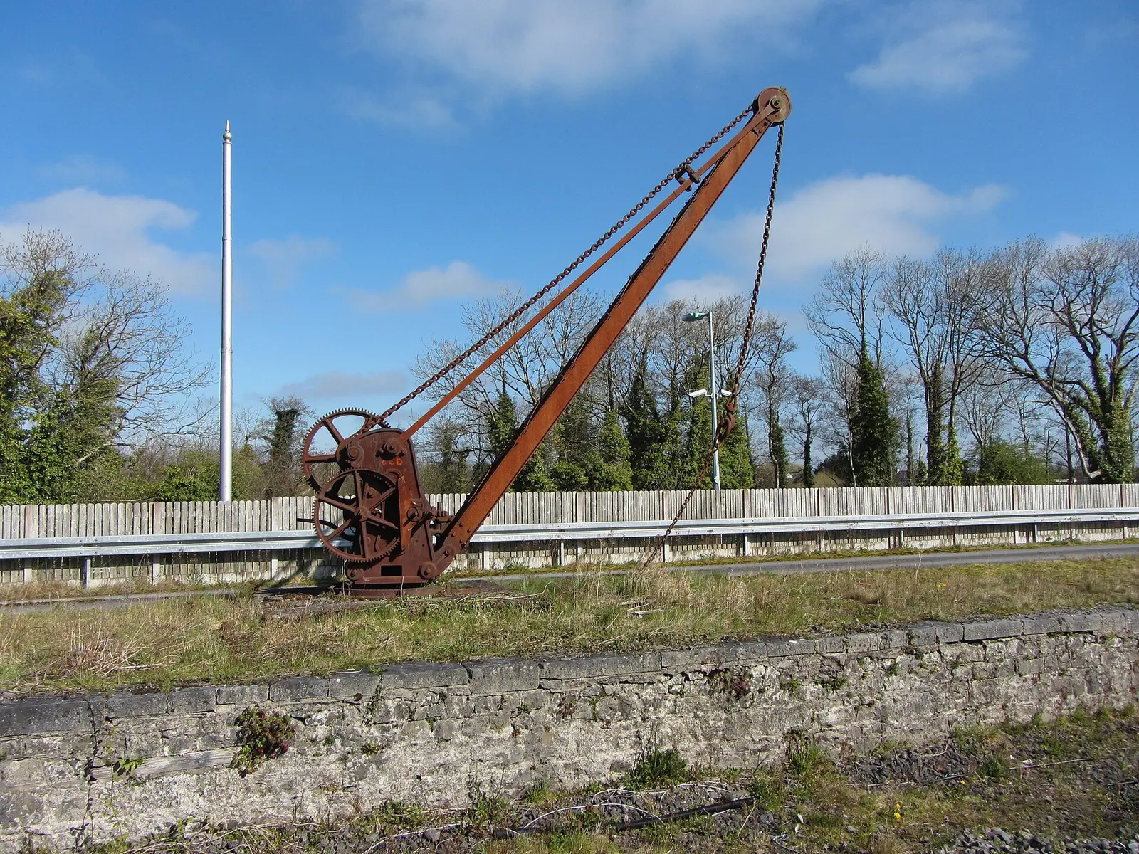
Gareth James, CC BY-SA 2.0 via Wikimedia Commons

Jonathan Thacker, CC BY-SA 2.0 via Wikimedia Commons

No machine-readable author provided. Tournesol assumed (based on copyright claims)., CC BY-SA 3.0 via Wikimedia Commons
Questions people ask
Where is Ballinasloe?
What is the population of Ballinasloe?
How far is Ballinasloe from Galway?
What is Ballinasloe famous for?
What is the history of Ballinasloe?
What is the weather like in Ballinasloe today?
How the model is built
The buildings are OpenStreetMap footprints, read on 2026-09-18, stood up to the height the map records or a plain two storeys where it records none. Streets, water and the base map come from the same project through OpenFreeMap. Places are the named shops, services and public buildings on the map; each has its own page.
A building takes the colour of the kind of place inside it: restaurants in red, pharmacies in green, schools in yellow. Nothing is invented to fill a gap: a missing fact is shown as missing, with a link to add it to the map. More about the model.