Inishark
Beyond Inishbofin, at the edge of the Cleggan boats' world, lies an island nobody has lived on since 20 October 1960. Inishark's last twenty-three people, fishermen and farmers cut off for months each winter, were resettled on the mainland because the government would not build the expensive pier that could have kept them there. The island had been lived on for thousands of years.
Checked against the source on 2026-09-19.
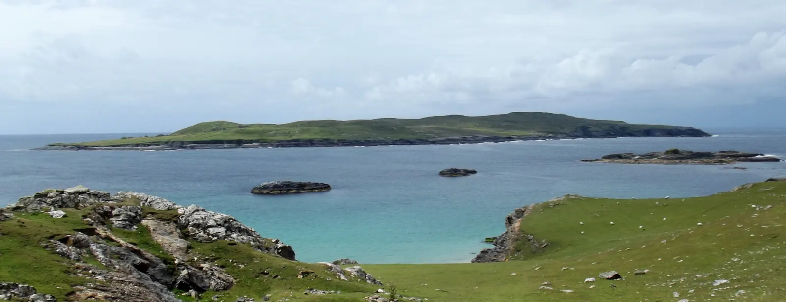
Pampuco, CC BY-SA 4.0 via Wikimedia Commons

Wild Atlantic Way: Cleggan Harbour, Cleggan Signal Tower on the 3D model; tap a pin for its page and directions.
Erc, Leo and the drowning
The name may come from an ancient chief or king named Erc, from searc, love, or from airc, hardship. Bronze Age burial grounds and monuments cover the island, and its patron saint, Leo of Inis Airc, lived here sometime between the sixth and eighth centuries; a nineteenth-century church named for him stands in ruins. On Easter Sunday 1949 three young islanders drowned crossing to Inishbofin for Mass, and the evacuation followed within eleven years. Like Inishbofin the island is Silurian slate and shale, rising almost to 100 metres.
Remembering
C-Board Films made Inis Airc, Bás Oileáin, Inishark, Death of an Island, for TG4 in 2007, telling the story of the last years. The Inishbofin guide covers the inhabited neighbour, and the Cleggan model on this page pins the harbour the boats still leave from.
Questions people ask
When was Inishark abandoned?
Why was Inishark evacuated?
Can you visit Inishark?
Written from Wikipedia, "Inishark" (CC BY-SA 4.0), read on 2026-09-19, and from the OpenStreetMap places on the model. Nothing has been added from memory; follow the source for its footnotes.