Lough Nafooey
Beyond the head of Lough Mask, on the road from Clonbur towards Leenaun, the valley narrows and a long, almost rectangular lake fills its floor. Lough Nafooey, the lake of the fissure, lies in a trough the ice cut between the Partry Mountains on the Mayo side and the Galway hills to the south, with the Devil's Mother rising at its western end and the nearest village, Finny, just over the county line.
Checked against the source on 2026-09-19.
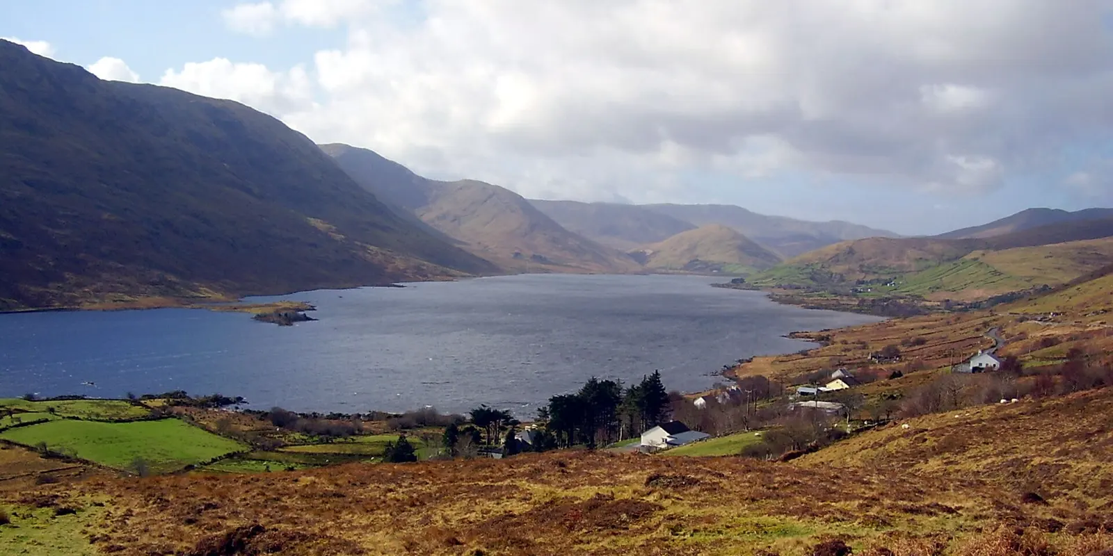
ClintMalpaso, CC BY-SA 3.0 via Wikimedia Commons

Lough Mask, Loughmask Castle on the 3D model; tap a pin for its page and directions.
In and out
The lake is about 2.5 miles long and half a mile wide. The River Fooey rises on the Devil's Mother and enters at the western shore beside a small sandy beach, mountain streams feed it from both sides, and the Finny River leaves from the south-east to drain into the south-west corner of Lough Mask. Leenaun is about 11 km away. The model on this page pins Lough Mask and the castles around Clonbur; the Lough Mask and Joyce Country guides cover the country the lake belongs to.
Questions people ask
Where is Lough Nafooey?
What does Nafooey mean?
Written from Wikipedia, "Loch Na Fooey" (CC BY-SA 4.0), read on 2026-09-19, and from the OpenStreetMap places on the model. Nothing has been added from memory; follow the source for its footnotes.