County Galway · Connacht
About Lackagh
Lackagh is a village in County Galway, 15 km north-east of Galway city. A parish halfway between Galway and Tuam with the Clare running through its middle, once part of the kingdom of the Soghain, and Turloughmore and Cregmore within it.
- Where
- 15 km from Galway, 175 km from Dublin
- Position
- 53.3703° N, 8.8904° W
- On the model
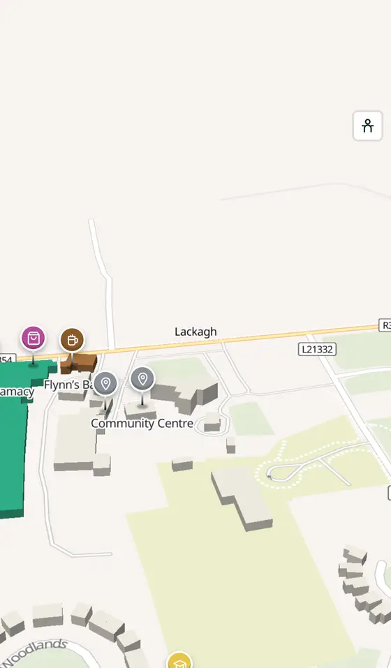
- 236 buildings, 3 streets, 68 places in 24 kinds
- Read more
- Lackagh on Wikipedia
A short history
- Early timesThe Soghain. The parish was part of the kingdom of the Soghain of Connacht.
- TodayThe parish. Bounded by Athenry, Abbeyknockmoy, Corofin, Annaghdown and Claregalway, with the River Clare through its centre and Turloughmore and Cregmore inside it.
What to see
- Derrymaclaughna Castle4.1 km
The tower house 4 km away.
- Claregalway Friary4.4 km
The friary on the Clare, 4.4 km off.
- Kilskeagh castle6.1 km
Another tower house, 6 km out.
- Kilmoylan church7.5 km
The old church 7.5 km away.
- Corrofin Castle7.6 km
The castle by the Clare, 7.6 km north.
Questions people ask
Where is Lackagh?
In County Galway, in the province of Connacht, in the west of Ireland: 15 km north-east of Galway city and 175 km west of Dublin, on off the N83 between Galway and Tuam.
What is there in Lackagh?
On the map, 68 named places in 24 kinds: 1 place to eat and drink, 3 shops, 4 schools, churches and public buildings, and 53 things to see within 12 km.
What is Lackagh known for?
Turloughmore hurling, the River Clare, and a parish that was once Soghain country.
Getting around
Lackagh sits on off the N83 between Galway and Tuam. 0 bus stops and 0 car parks are on the map.
History, sights and civic facts summarise Wikipedia, "Lackagh" (CC BY-SA 4.0, read 2026-09-19). Population is the CSO census as listed there. Distances and everything on the model are OpenStreetMap.