Roads, buses, parking
Getting to Lackagh
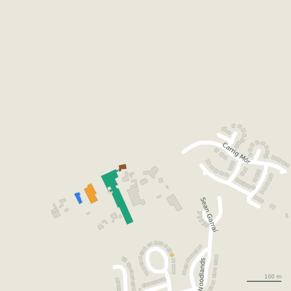
Lackagh is in County Galway, 15 km north-east of Galway city. Distances below are straight lines from the church, so the road is a little longer; the bus stops and car parks are the ones on the map.
Cities
- Galway
- 15 km, to the south-west
- Limerick
- 81 km, to the south
- Kilkenny
- 136 km, to the south-east
- Cork
- 166 km, to the south
- Waterford
- 172 km, to the south-east
- Dublin
- 175 km, to the east
Airports
- Aerphort Chonamara
- 41 km, to the west
- Aerphort Chonamara
- 41 km, to the west
- Aeradróm Inis Oírr
- 53 km, to the south-west
- Aeradróm Inis Oírr
- 54 km, to the south-west
- Aeradróm Inis Meáin
- 55 km, to the south-west
Nearby towns
- Ennis
- 59 km, south
- Athlone
- 63 km, east
- Mullingar
- 104 km, east
- Sligo
- 104 km, north
- Portlaoise
- 112 km, east
- Tralee
- 134 km, south-west
- Clonmel
- 138 km, south-east
- Newbridge
- 141 km, east
- Carlow
- 144 km, south-east
- Navan
- 149 km, east
Bus stops
The map records no bus stop in Lackagh. Anyone can add one on OpenStreetMap and this page will pick it up.
Parking
No car park is drawn on the map for Lackagh yet.
Positions from OpenStreetMap. See it all on the model.